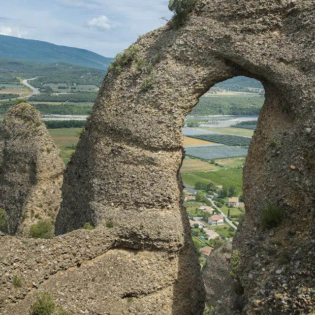
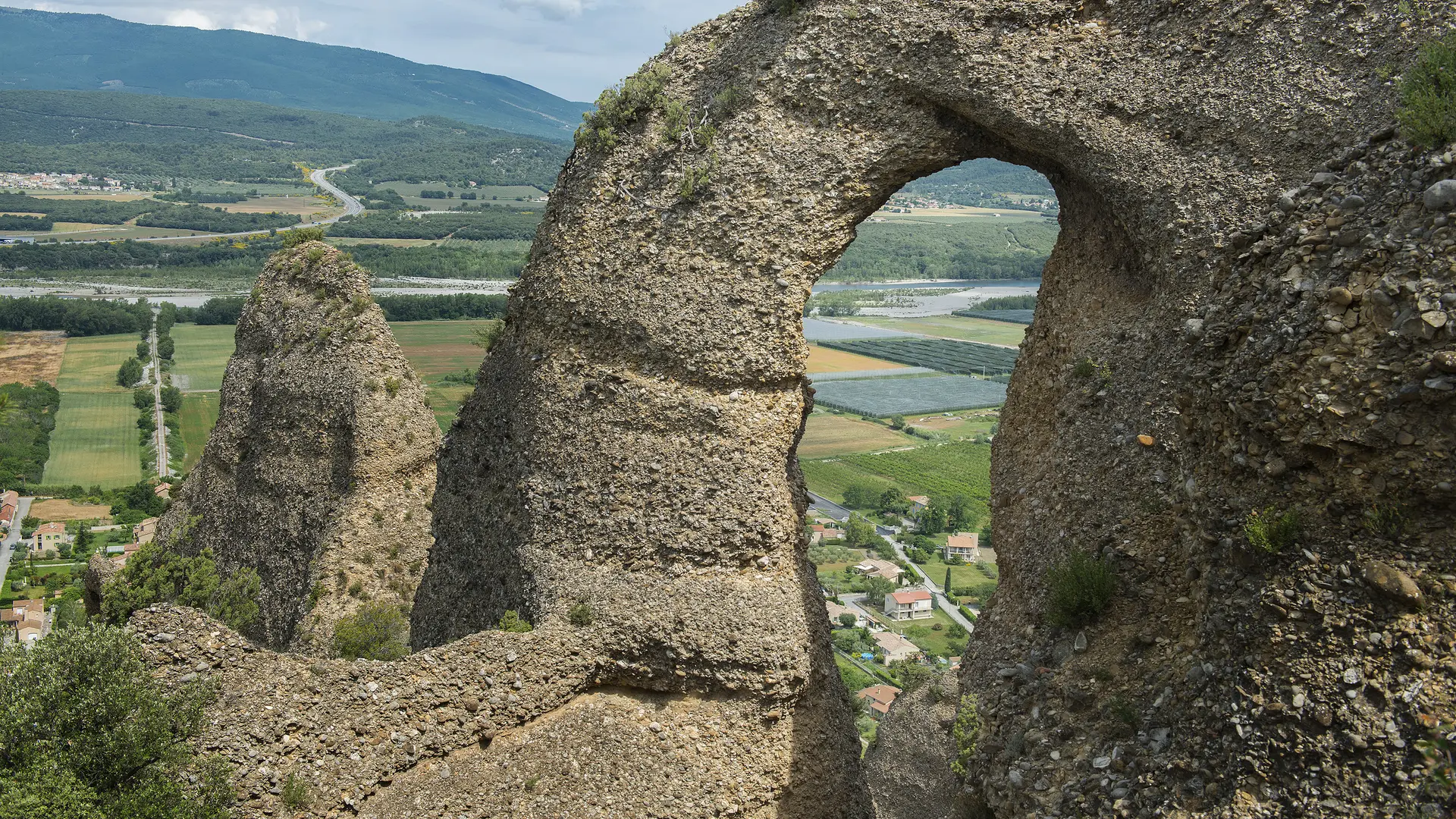
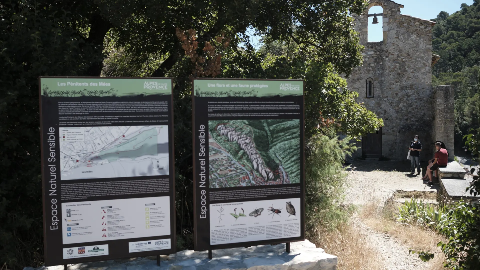
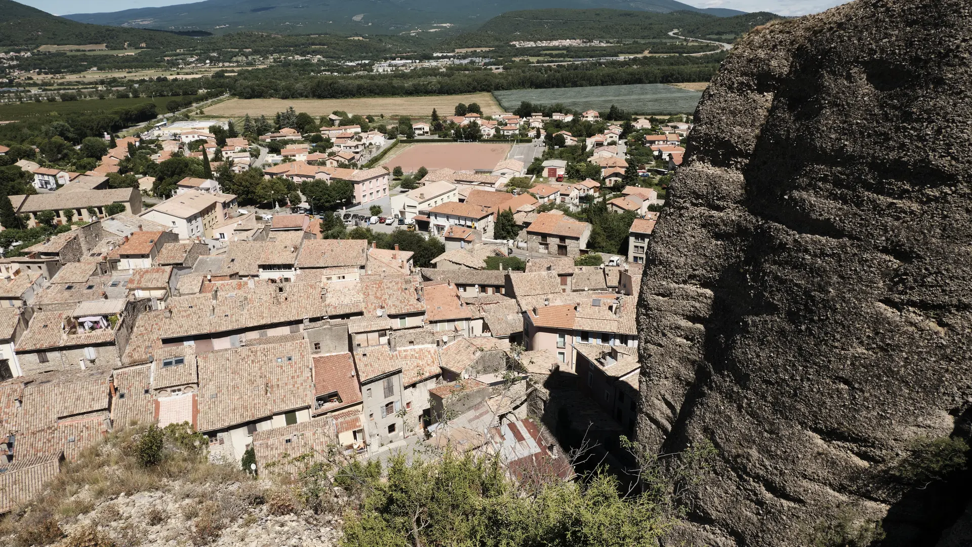
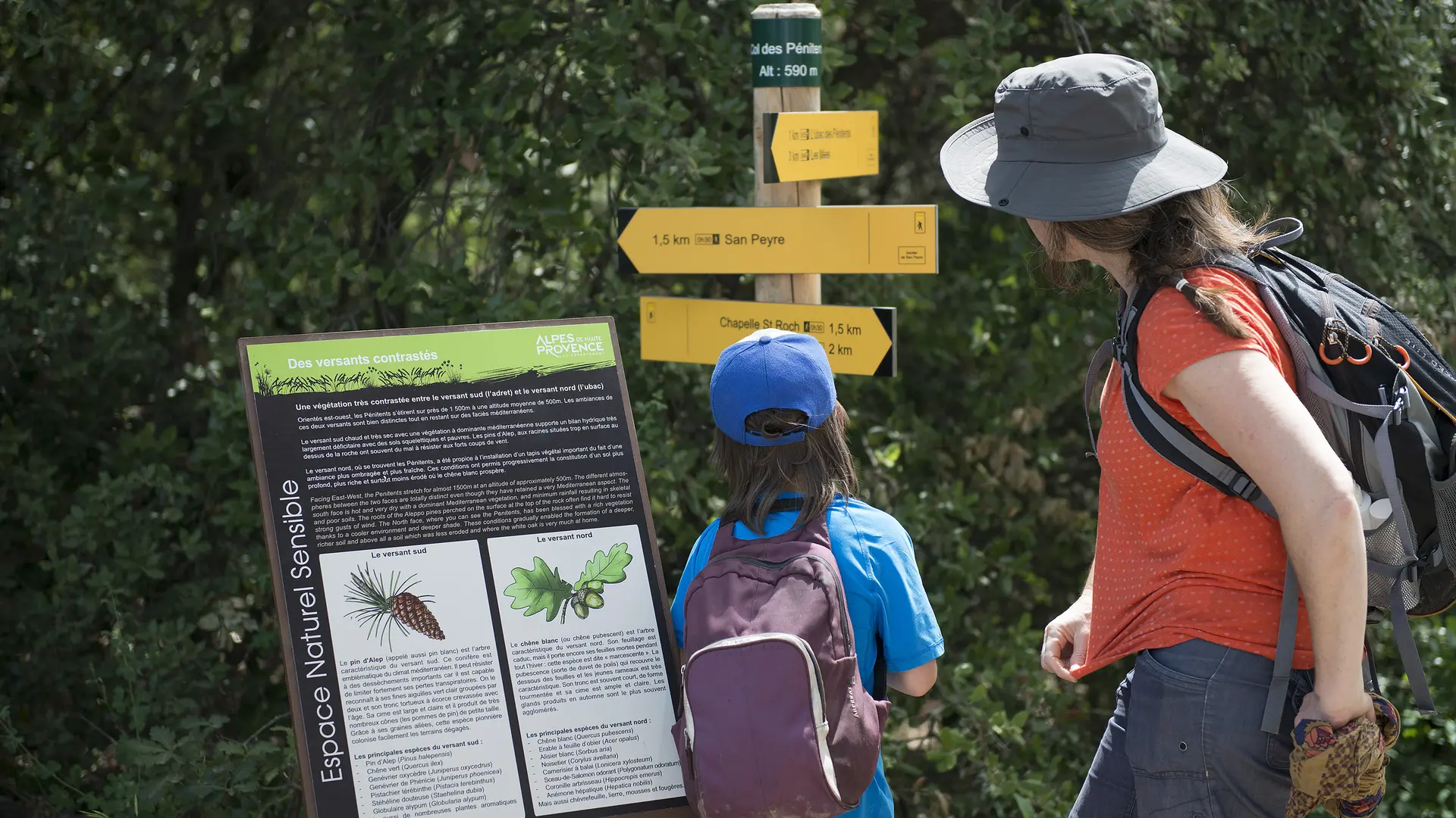
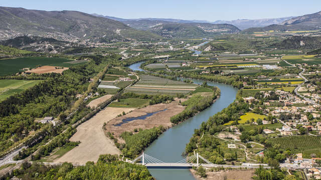
The Penitents' trail allows you and your family to discover this legendary site listed as a UNESCO Geopark in Haute-Provence. The route winds along the ridge and offers remarkable views of the rocks and the Durance valley.
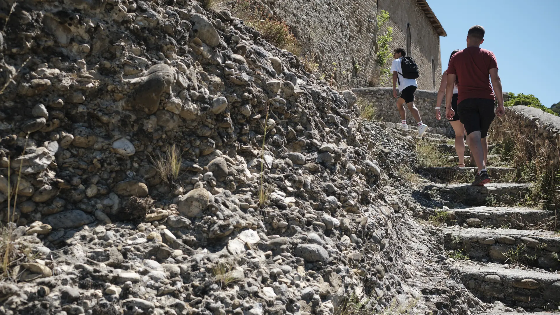
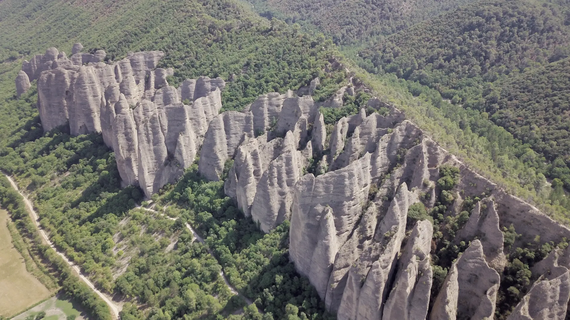
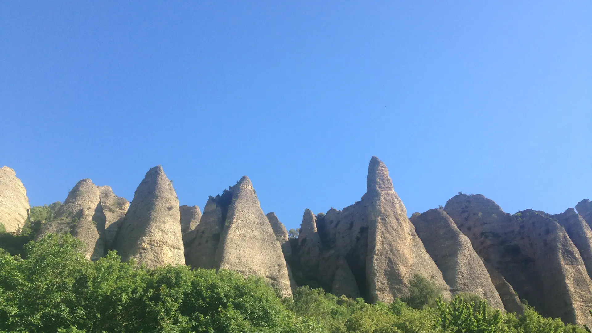
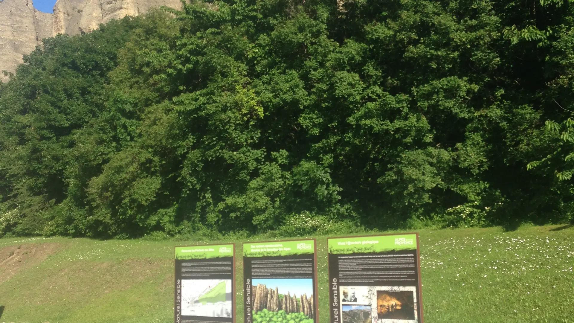
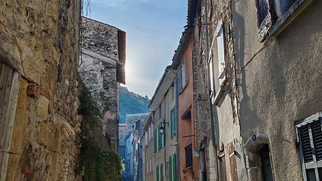
From Place de la République, go past the large hiking information panel and follow the urban markers of the Pénitents discovery trail. Go up Rue Clovis Piscon then turn left at Porte Saint Cristol and go up Rue Saint-Roch to the Saint-Roch chapel. This trail is the preferred route to discover this particular rock that is the Poudingue. It was formed a few million years ago, by consolidation of rock debris torn from the Alpine chain during uplift. It is erosion that carved these cones and blades forming the cliff in a thick layer of hardened puddingstones from the Mio-Pliocene period. The path passes at the feet of the Pénitents, who legend has it were monks petrified by St Donat for not having been able to resist the temptation of too beautiful Moorish women. At the pass, take the path going down to the left towards the shady side of the Pénitents. By a series of wooden steps, descend under the oaks, pass in front of 3 viewpoints and join the track at the foot of the hill.
Option: from the pass possibility of making the loop of San Peyre:
total duration: 3h30, mileage: 4 km, height difference: 420 m.
Turn left and return by the main track towards the village of
Mees. Pass in front of the "Tunnel de la mine" and via the rue du Rocher
rejoin the departure route.