See photos (4)

Serre du Mouton

Sport, Pedestrian sports, Hiking itinerary in Réallon
8.6 km
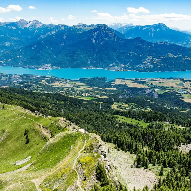
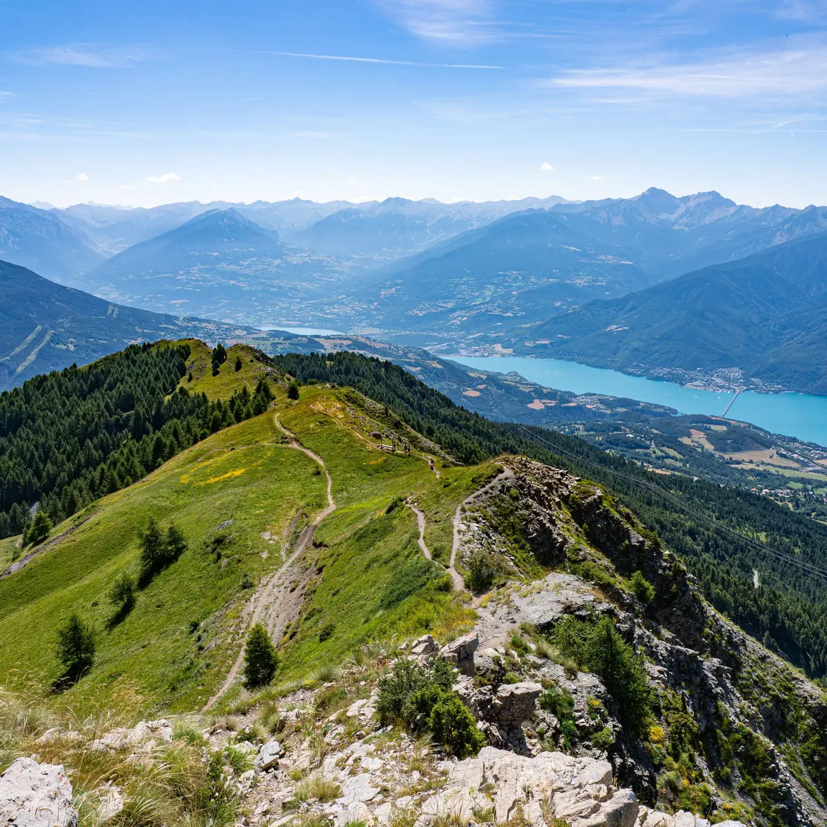
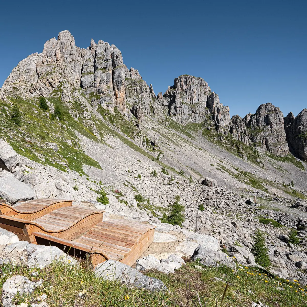
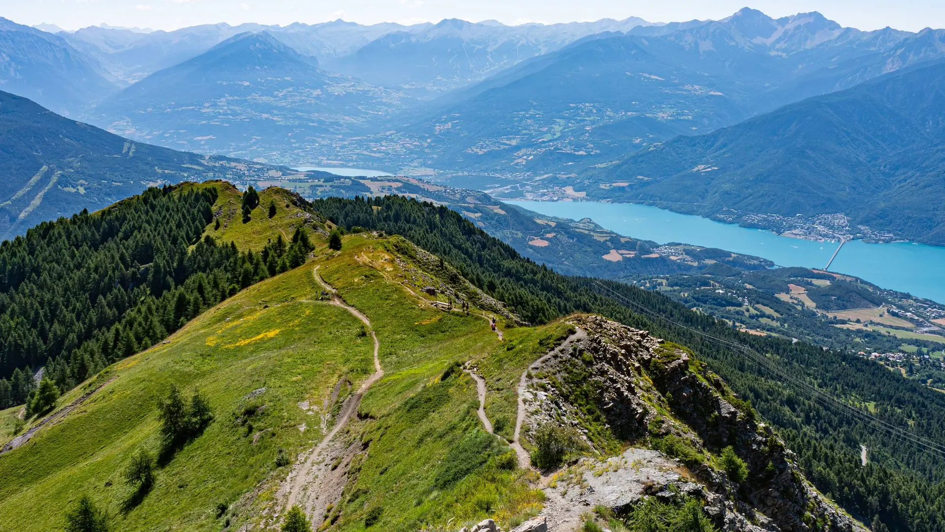
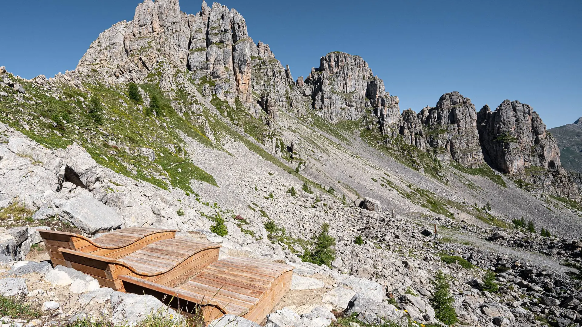
  • This hike takes in the views of the Lac de Serre-Ponçon and gives you a close-up view of the Aiguilles de Chabrière.

  • From the ski pass ticket offices, turn left towards the forest to join a wide track. Turn right uphill, then left at the intersection.
    At the "Piste de Joubelle" post turn right onto the uphill path. Further on, this joins a track that you have to follow uphill.
    Once you reach a flat area at the edge of the forest, go left, winding through the forest to reach another track higher up which you must take on the way up. This leads to a clearing; cross it and then climb the slope to the right....
    From the ski pass ticket offices, turn left towards the forest to join a wide track. Turn right uphill, then left at the intersection.
    At the "Piste de Joubelle" post turn right onto the uphill path. Further on, this joins a track that you have to follow uphill.
    Once you reach a flat area at the edge of the forest, go left, winding through the forest to reach another track higher up which you must take on the way up. This leads to a clearing; cross it and then climb the slope to the right. The path leaves the forest at the "Serre du mouton" post.
    From here, continue uphill until you reach the first lookout.
    Go back up the ski slope for 200m, then turn left after some cliffs on a steep climb. Follow the ridge to the top of the station and continue as far as an orientation table beneath the majestic Aiguilles de Chabrières.
    The return journey takes the same route.

    Medium
  • Departure
    Réallon
  • Difference in height
    875.846 m
  • Departure : The resort of Réallon, Réallon.
    Arrival : The resort of Réallon, Réallon.
    Road access : You can get there in several ways: Chorges via Saint-Apollinaire (D9), from Savines-le-Lac via Chérines (D41) and from Embrun via the Route des Puys (D9)..
    Parking recommended : Réallon ski resort car park .
  • Documentation
    GPX / KML files allow you to export the trail of your hike to your GPS (or other navigation tool)
876 meters of difference in height
  • Maximum altitude : 2075 m
  • Minimum altitude : 1552 m
  • Total positive elevation : 876 m
  • Total negative elevation : -545 m
  • Max positive elevation : 368 m
  • Min positive elevation : -509 m