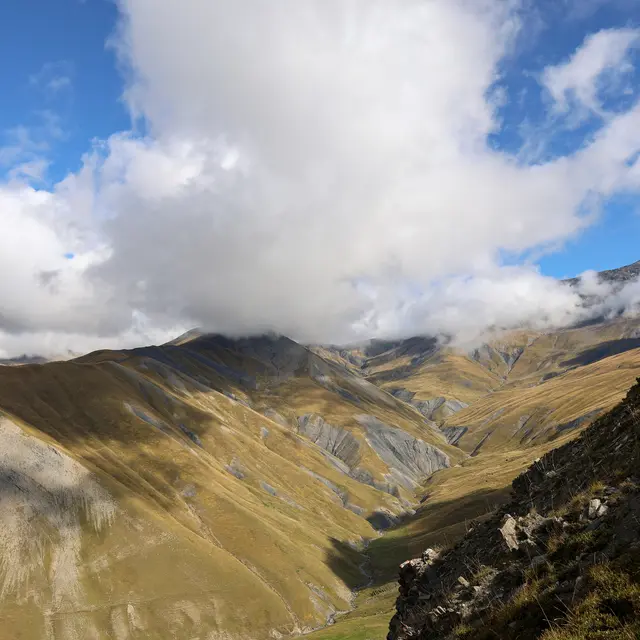
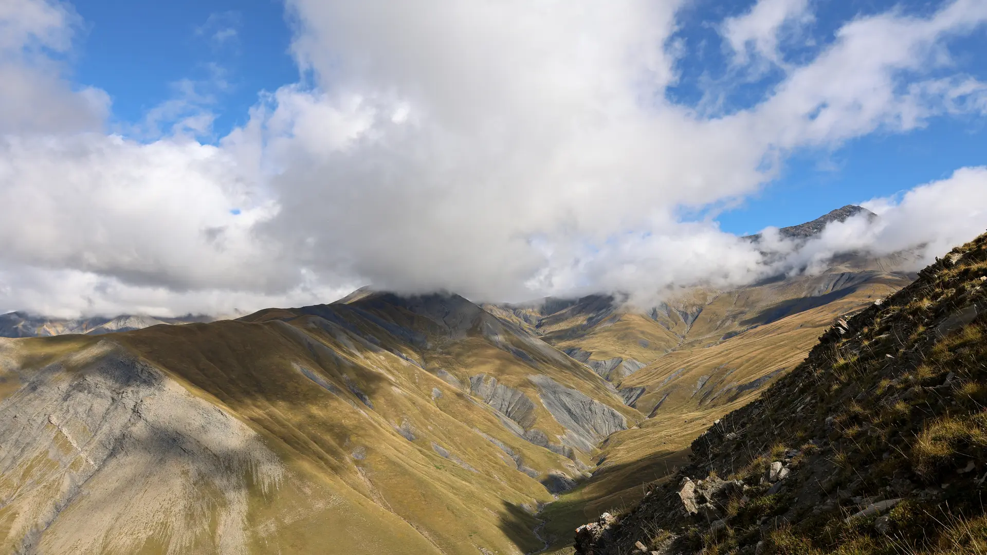
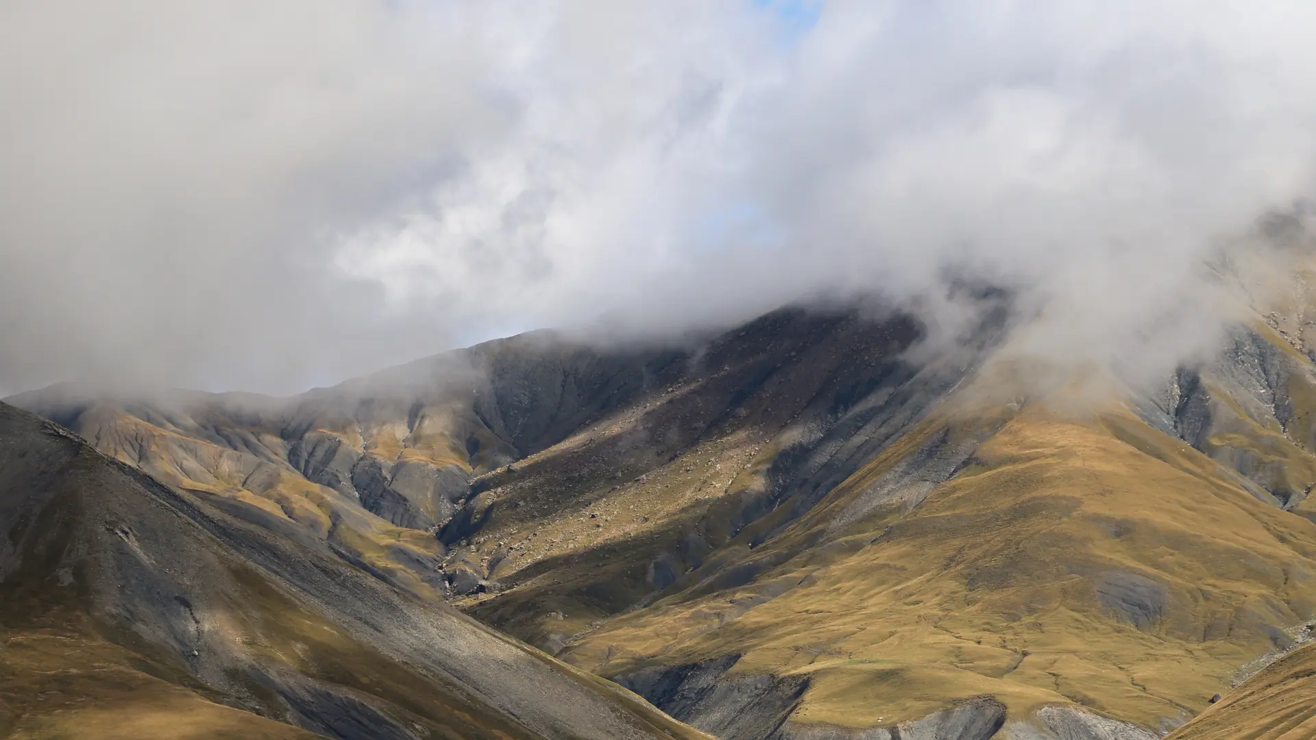
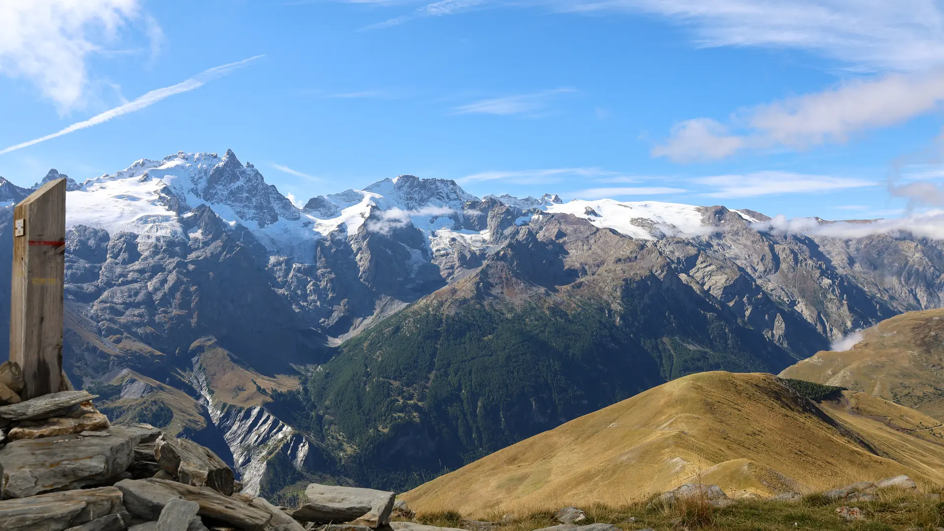
The summit also offers a view of the Goléon peak and the Martignare valley, which opens the door to Savoie. The climb from La Grave is steep and south-facing, so it's best to start early in the morning.
Loop details :
From the "plate-forme" at Ventelon, go up the hamlet and take the good track that leads to "Les Clots" (1916 m), past the fountain and 100 m further on, turn right onto the path that climbs up. At the next fork in the road, turn right towards Celle des Juges, then 200 m further on, leave the path which continues up the steep Cote Belle slope; follow the path, in places poorly marked, which leads to a small collet (2252 m) on the Signal ridge, and follow it to the right to the summit (2446 m) (cairn).
Descend by the same route as before, but when you reach the collet, continue along the "côte rouge" ridge: reach the top of the Chazelet lifts and descend to the left towards Les Clots. Then follow the same route back down to Ventelon.
Along the way, you can refresh yourself at the various Ventelon and Les Clots fountains.
Read more