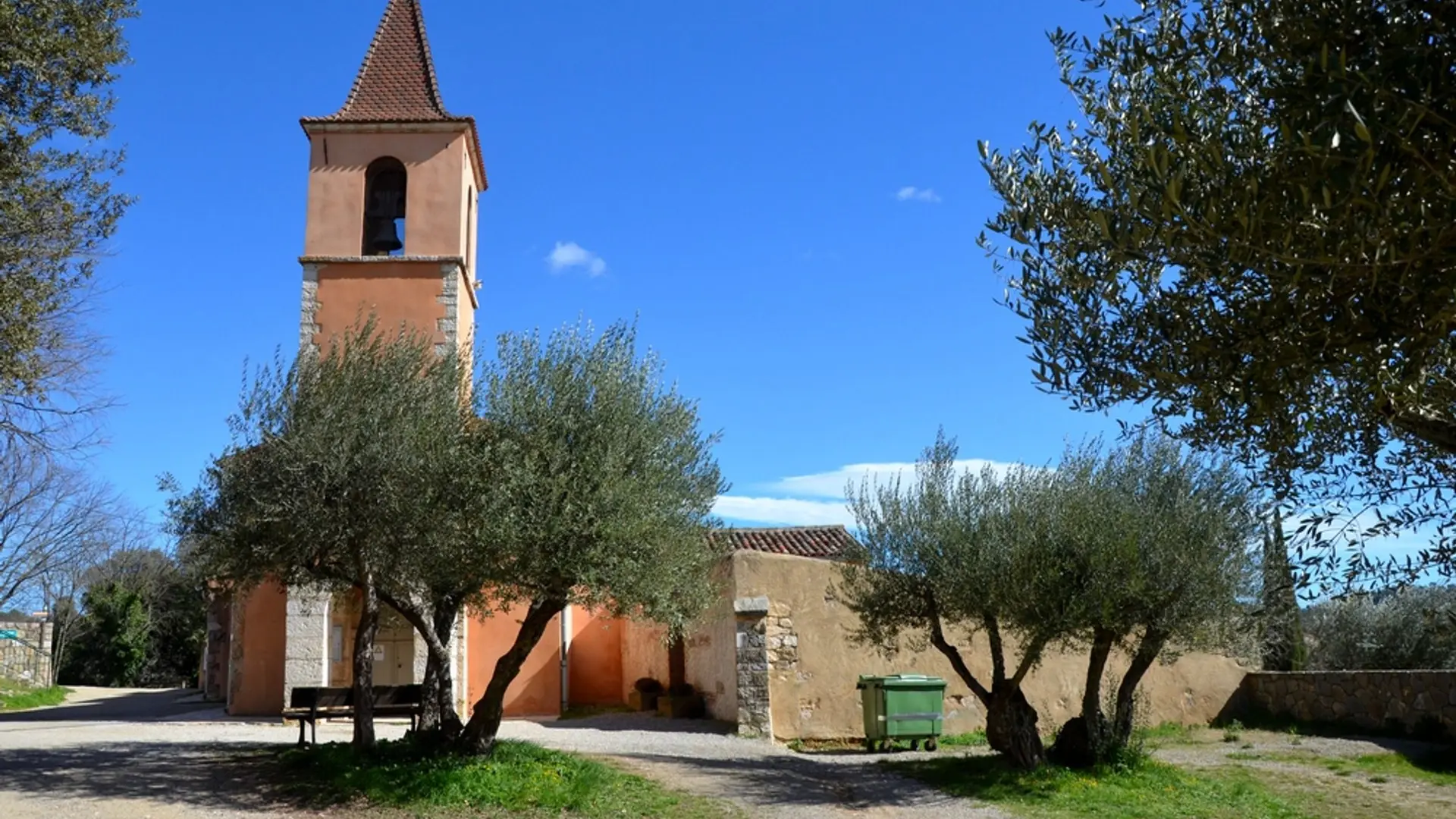
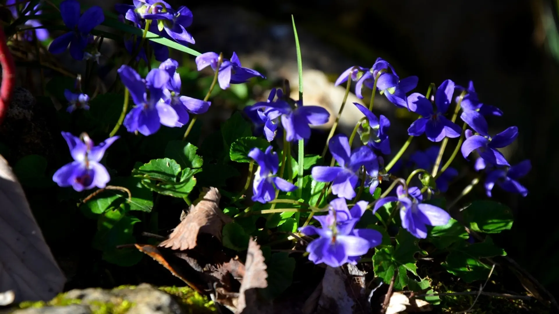
From the car park, follow the signs "belvédère par le village" (panoramic viewpoint through the village). Cross the D22 by the pedestrian crossing and the paved road. Continue straight through the olive grove in the village.
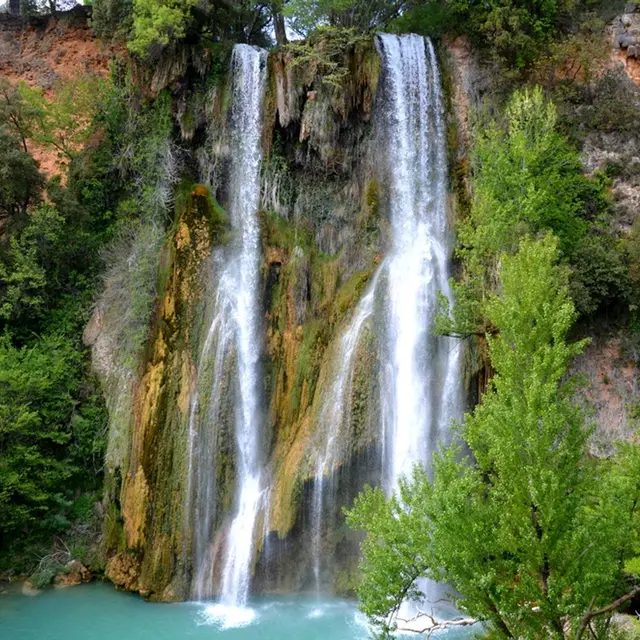
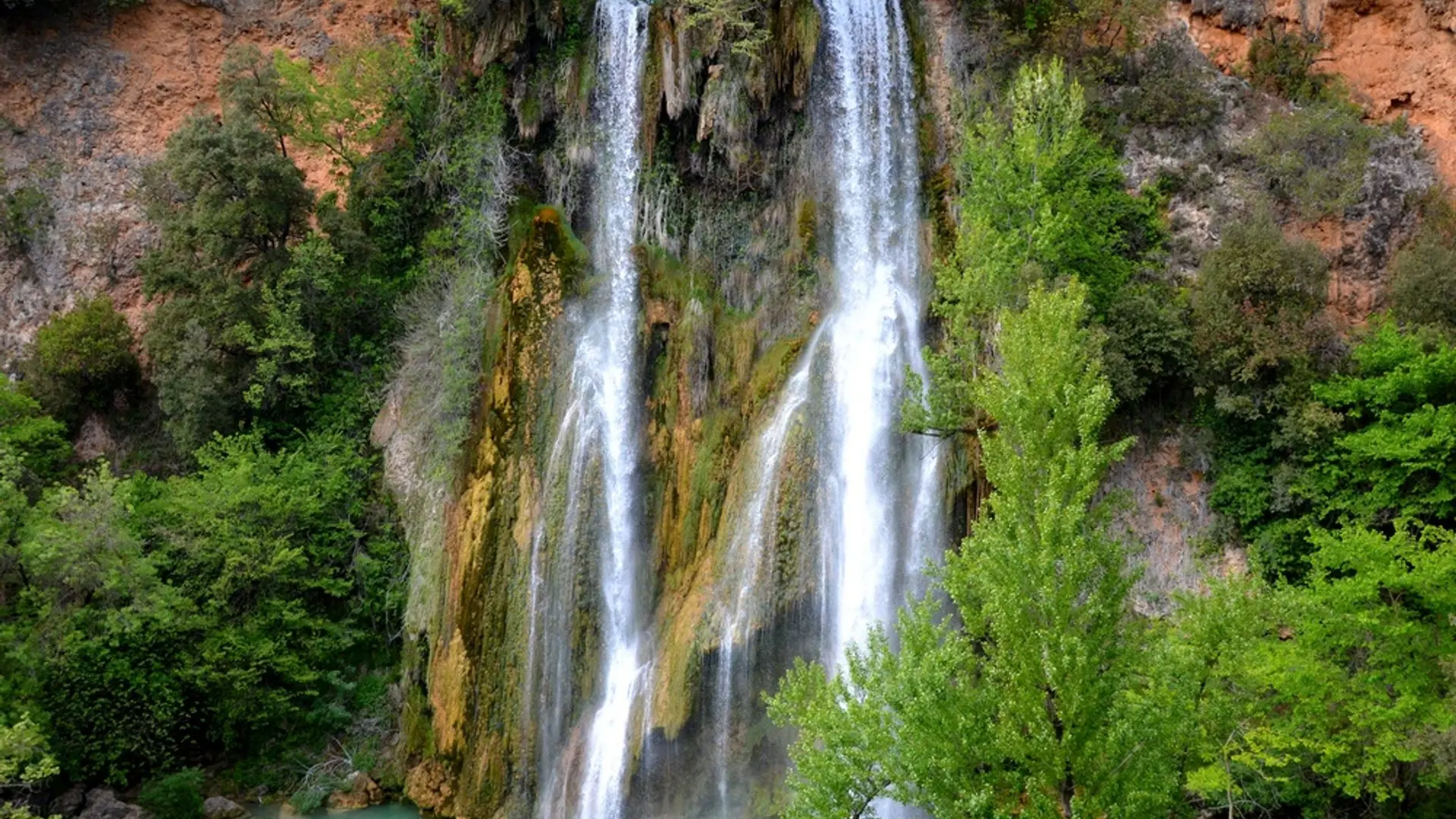
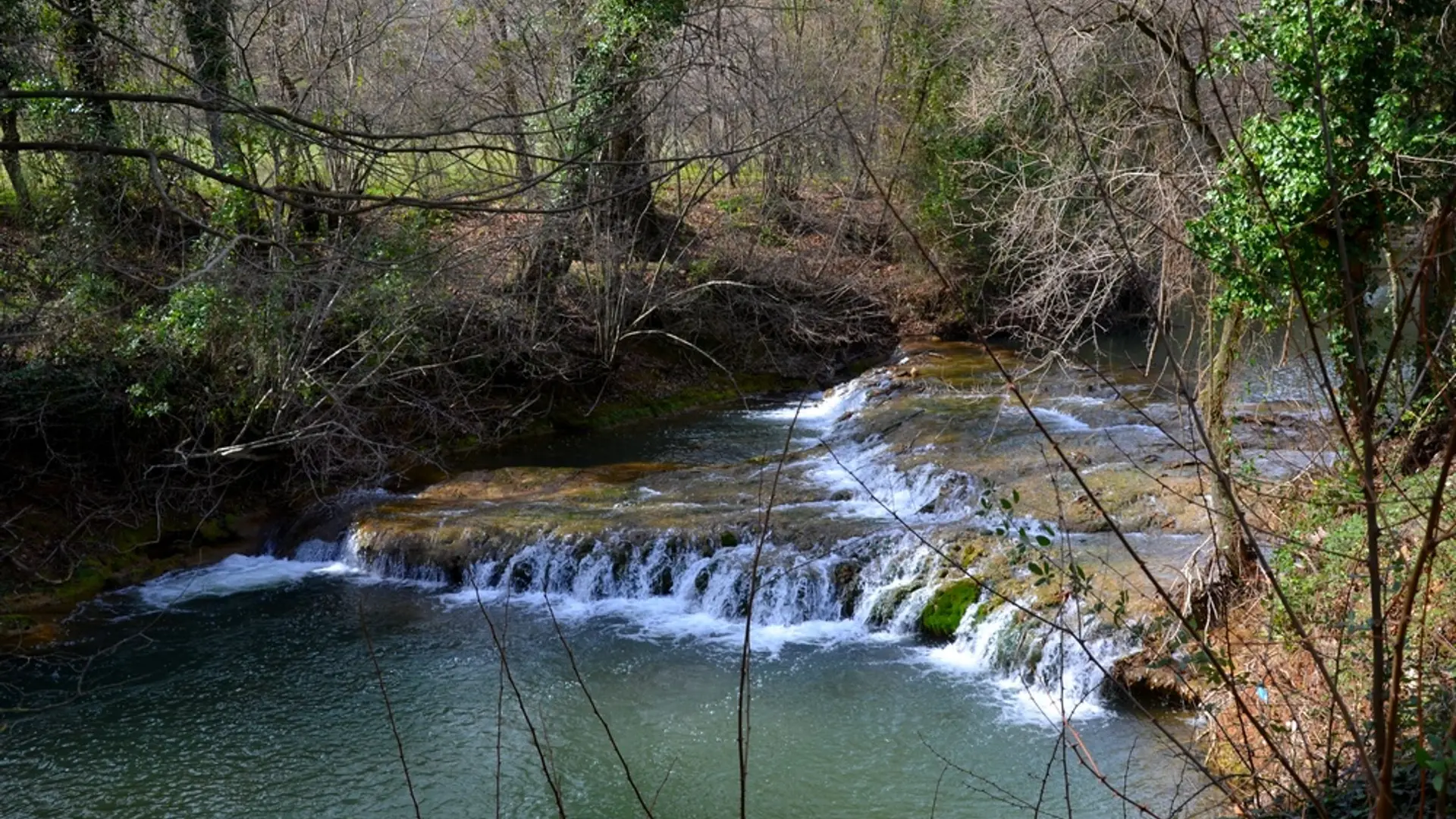
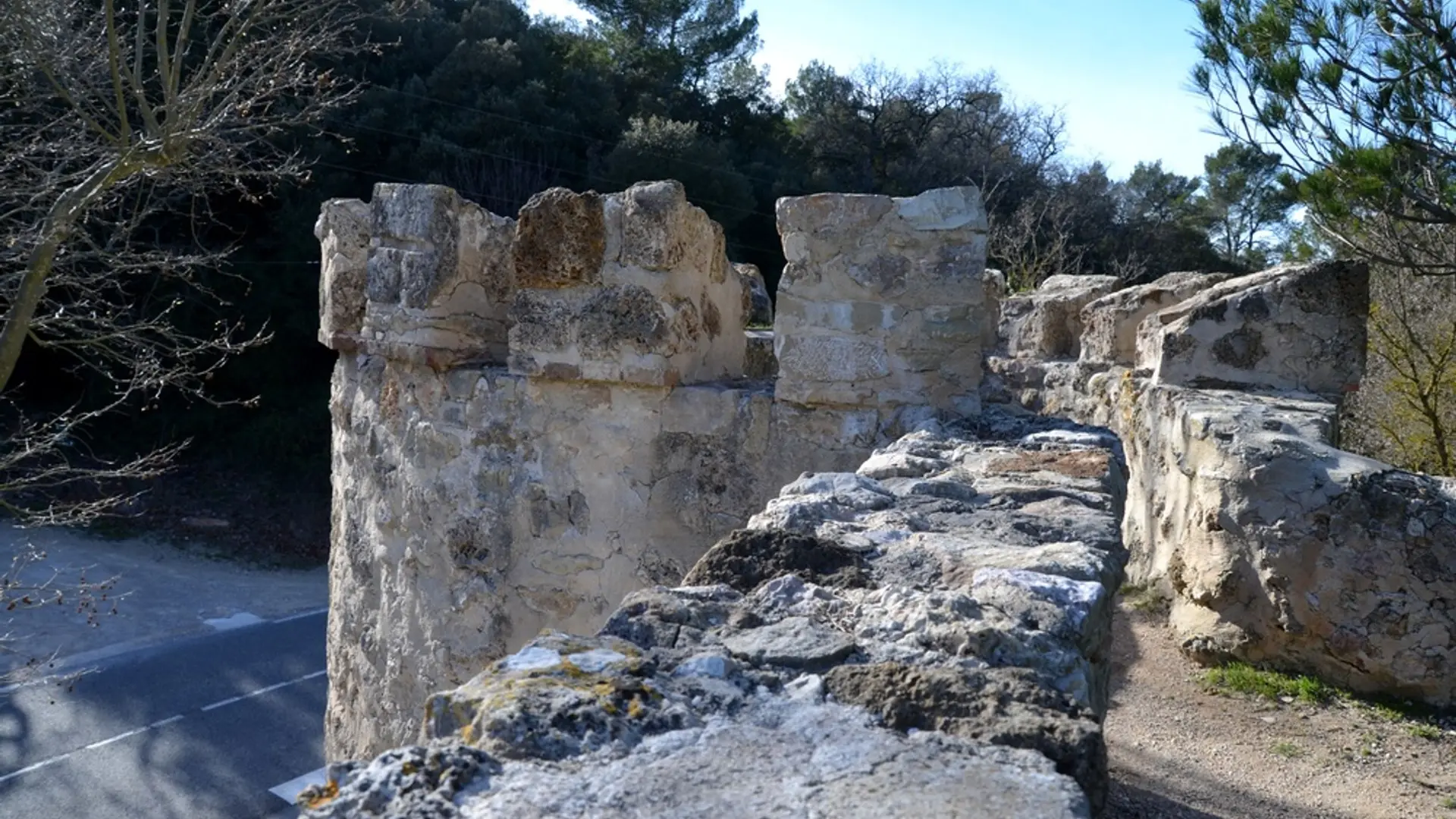
1- After the olive grove, turn left up the stairs. Cross the D560 on the pedestrian crossing and take the "monté du château" (rise to the castle) in the direction of the Town Hall. Turn right before the war memorial, pass through the Place du Verger and go down the Rue Courte. Continue on the Rue des Safraniers and follow the signs "la cascade belvédère". Down the street, go down the stairs and cross the bridge over Bresque staying to the left. After the bridge, turn right by the pedestrian crossing and go straight passing to the right of the school, continue on the paved road to the entrance of the path that leads to the waterfall on the right.
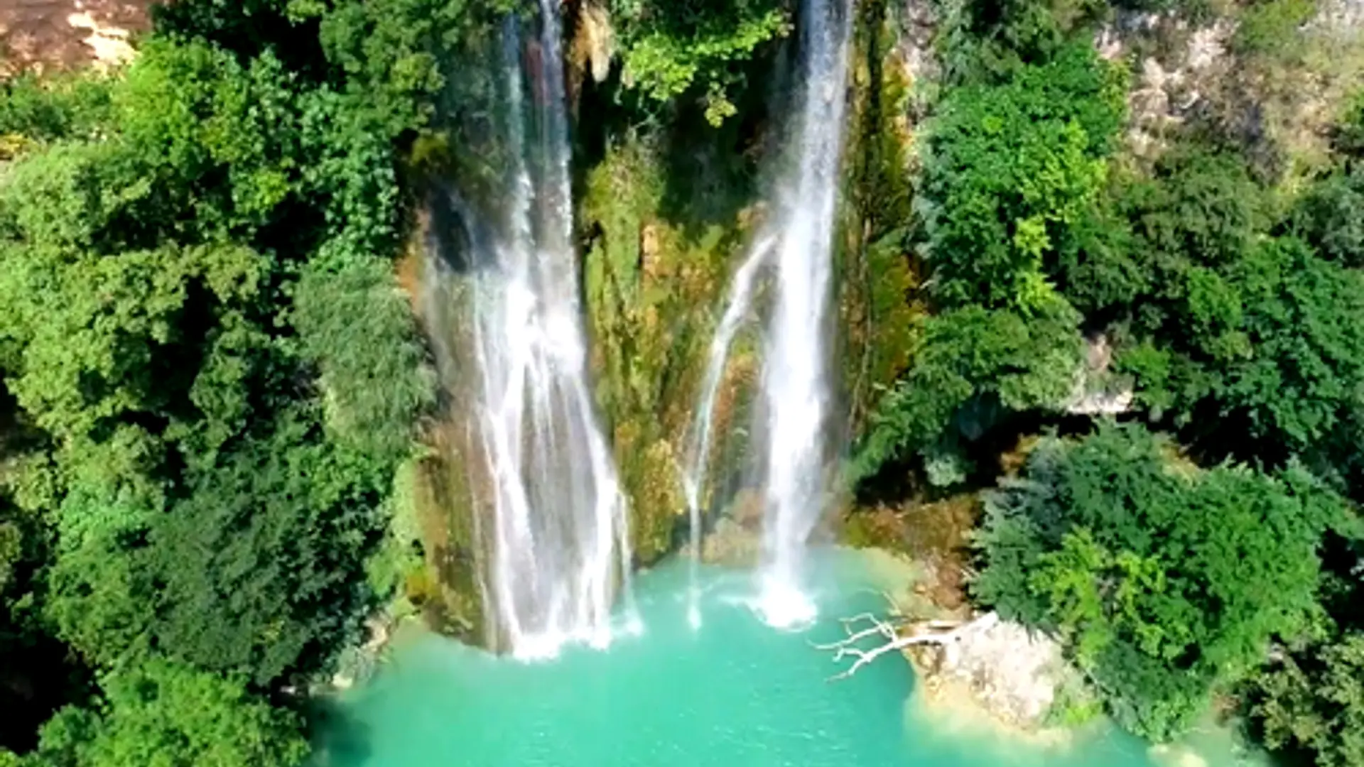
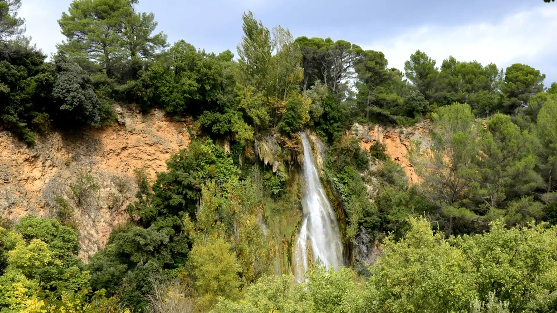
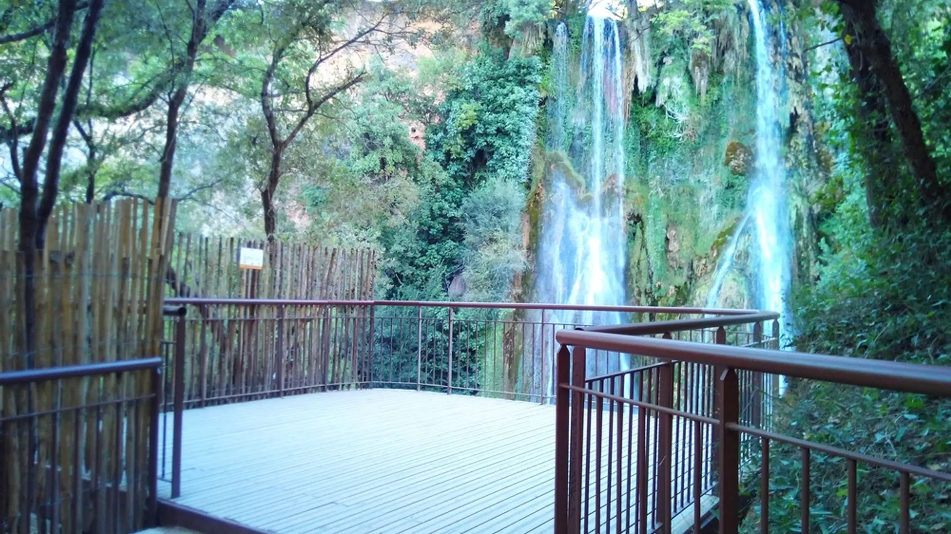
2- Continue along the path between the riprap for 200m then turn right onto the trail. Go down several sets of stairs and walk through the woods to the waterfall panoramic viewpoint, and then head back by the same route.
Easy
Read more