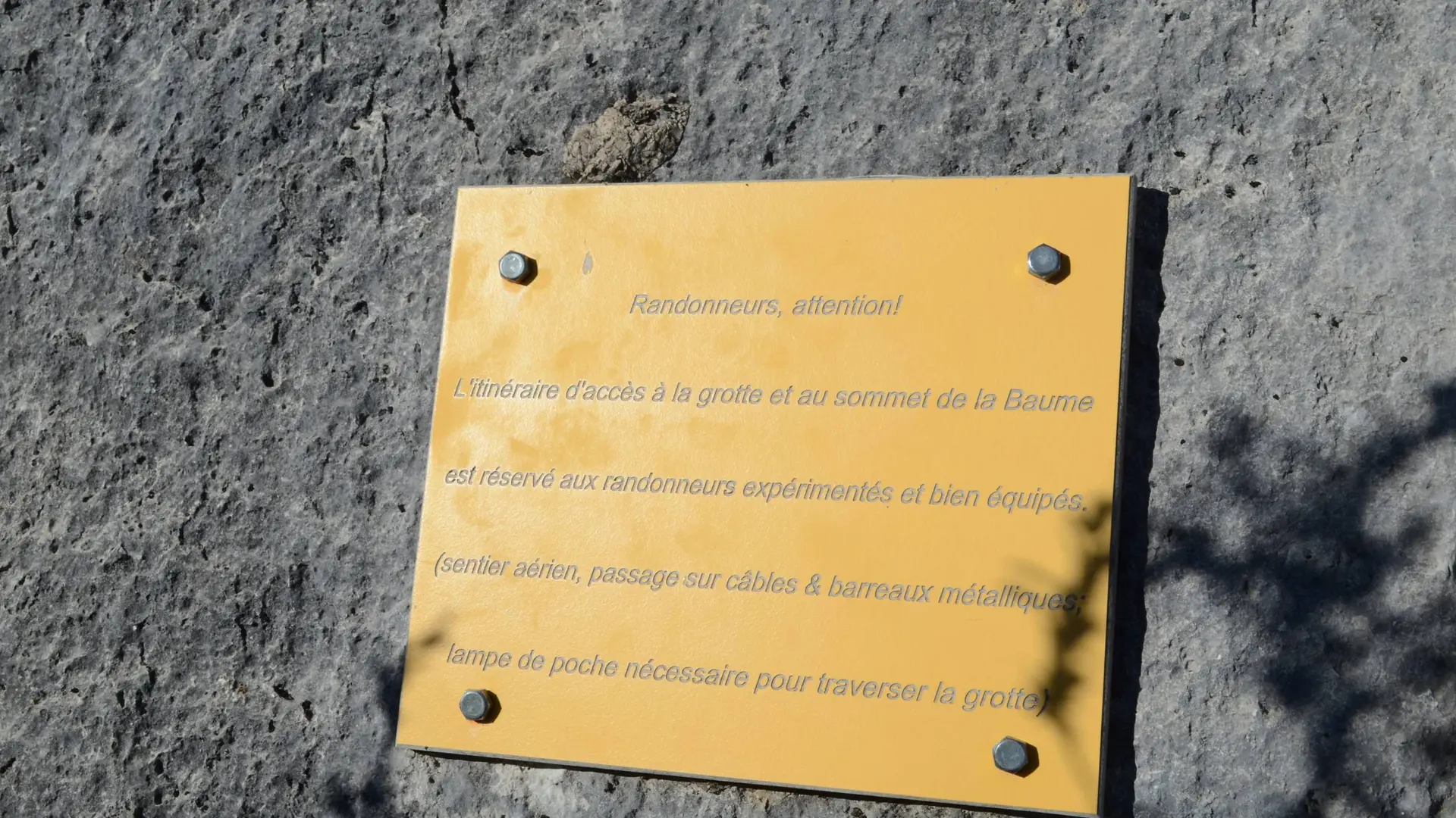
Tips
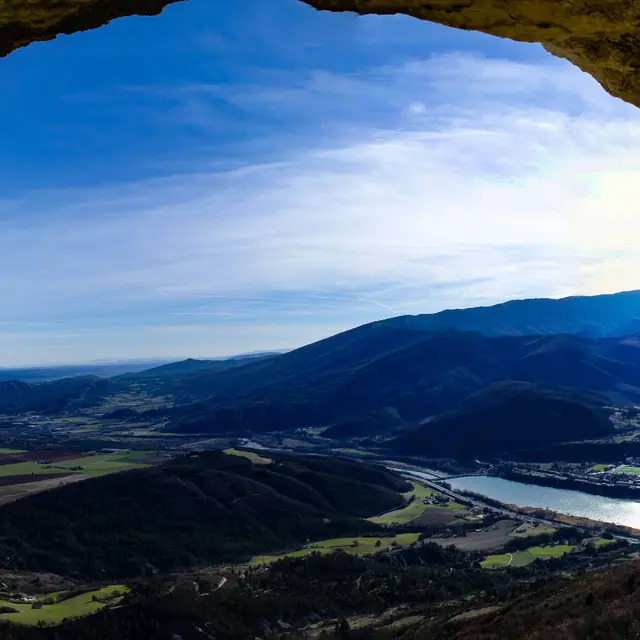
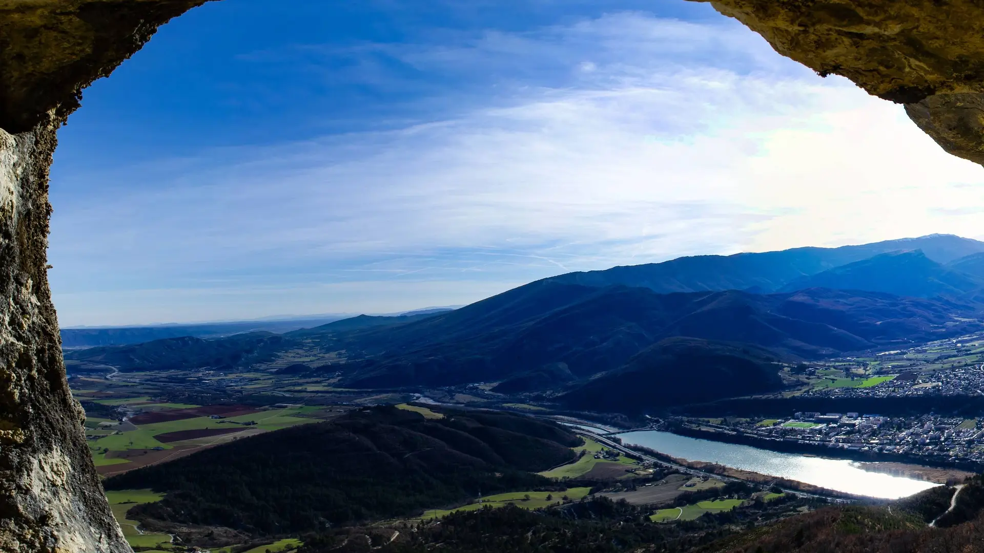
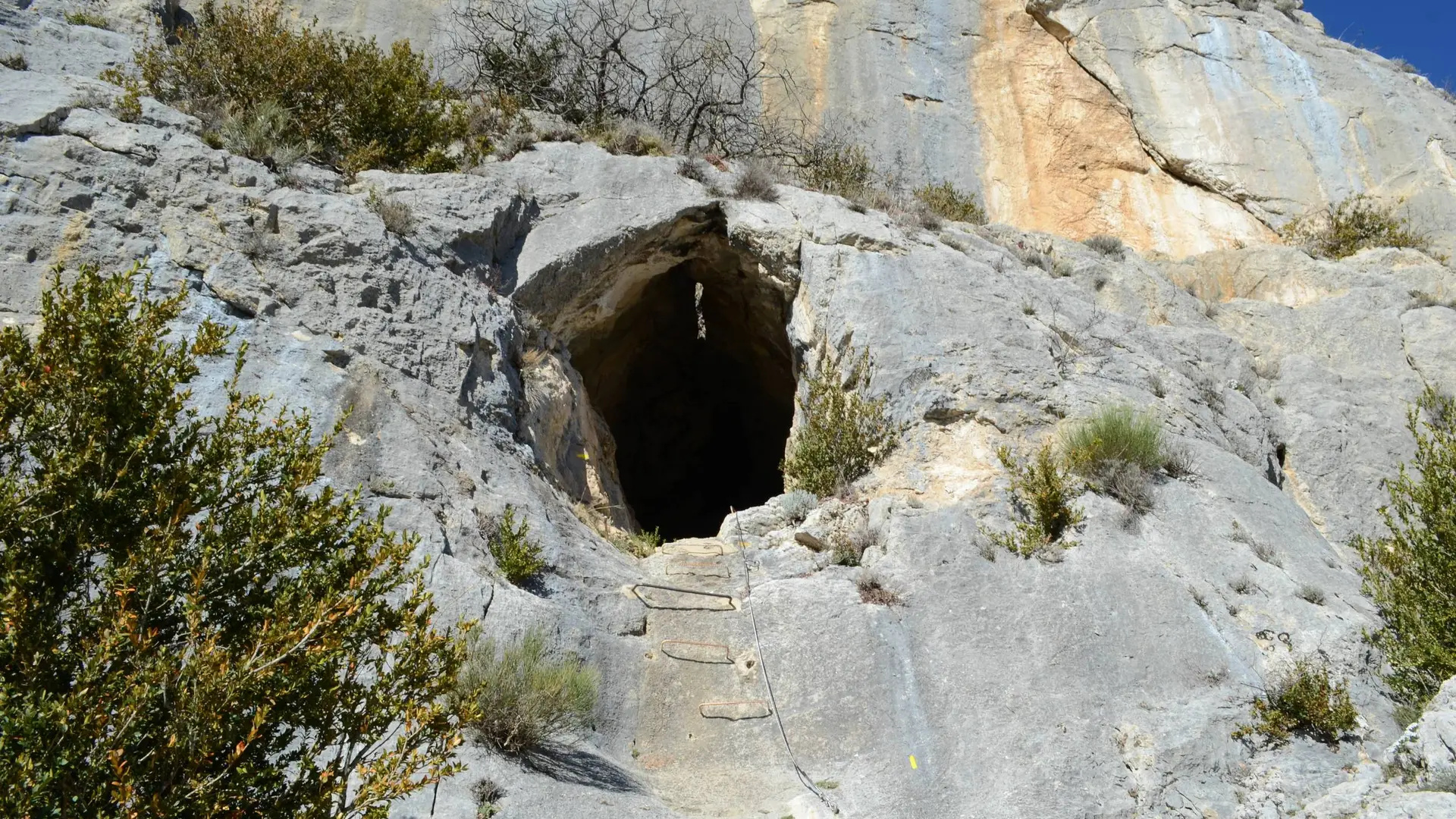
Warning: steep and vertiginous passages, not recommended for people prone to vertigo. Way equipped with cables to reach the summit.
May be closed during Summer because of fire risk
Not recommended for children.
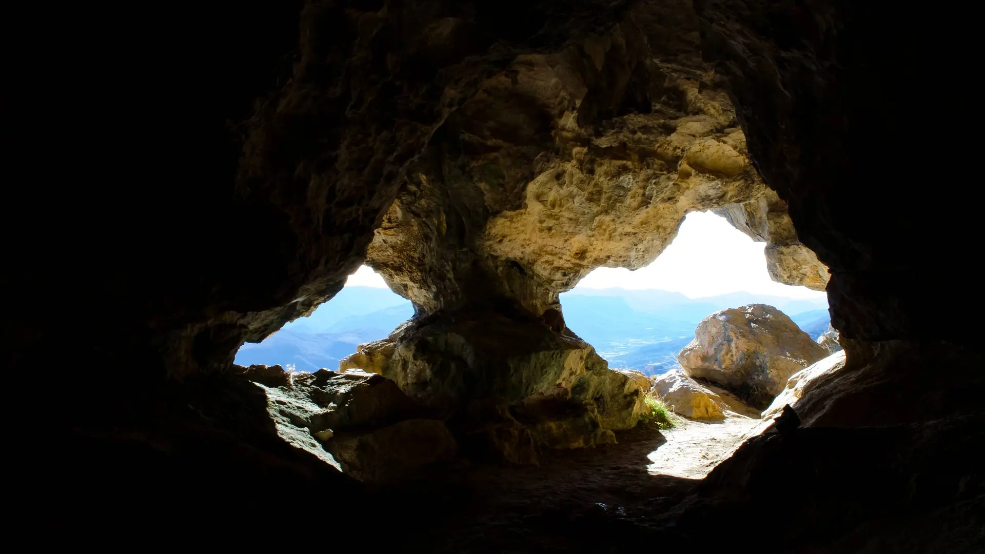
Provide a flashlight for crossing the cave, Trou de l'Argent (crawling on all fours is unavoidable).