Elevation gain: +380 meters / - 380 meters
Distance: 7.5 kilometers
Duration: 3 hours 30
Recommended period: December to March
Avalanche risk depending on conditions: Requiring
Cartography: TOP 25 n° 3639 OT
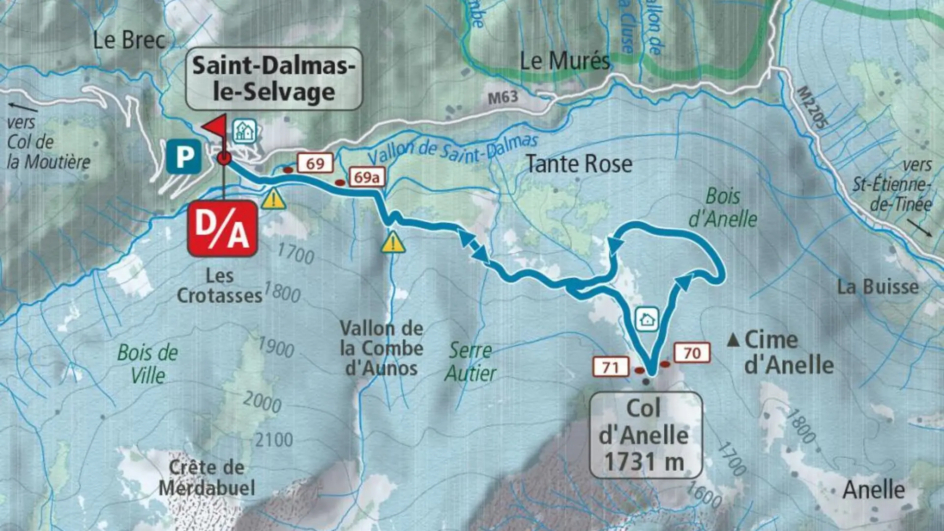
Itinerary :
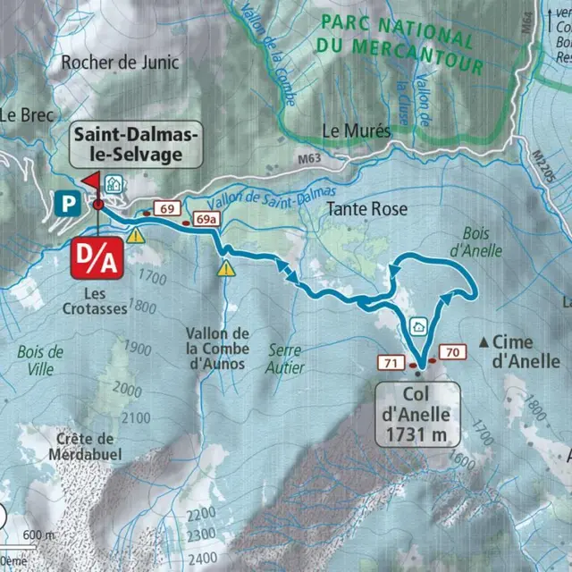
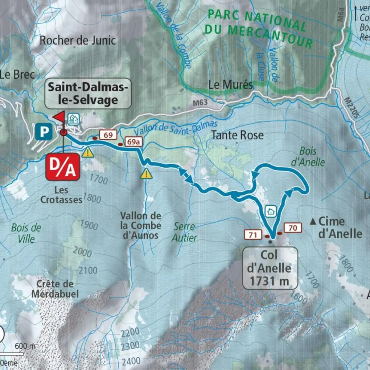
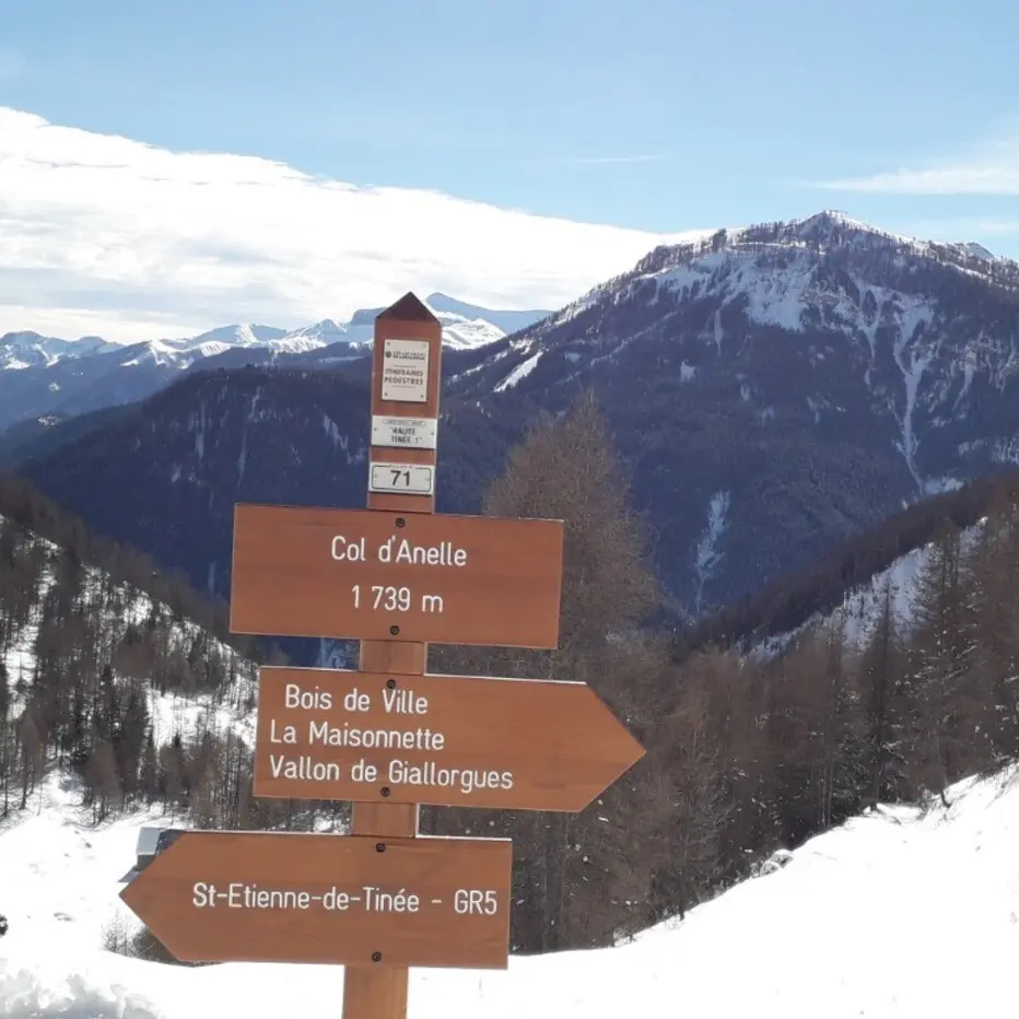
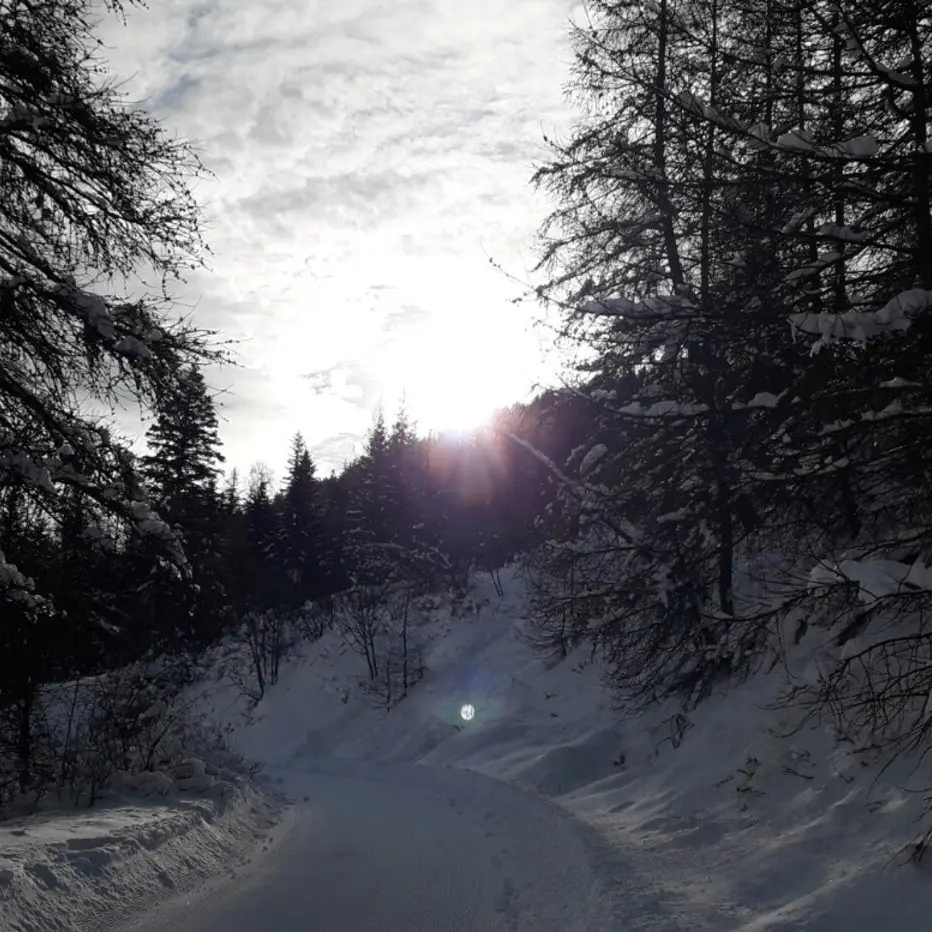
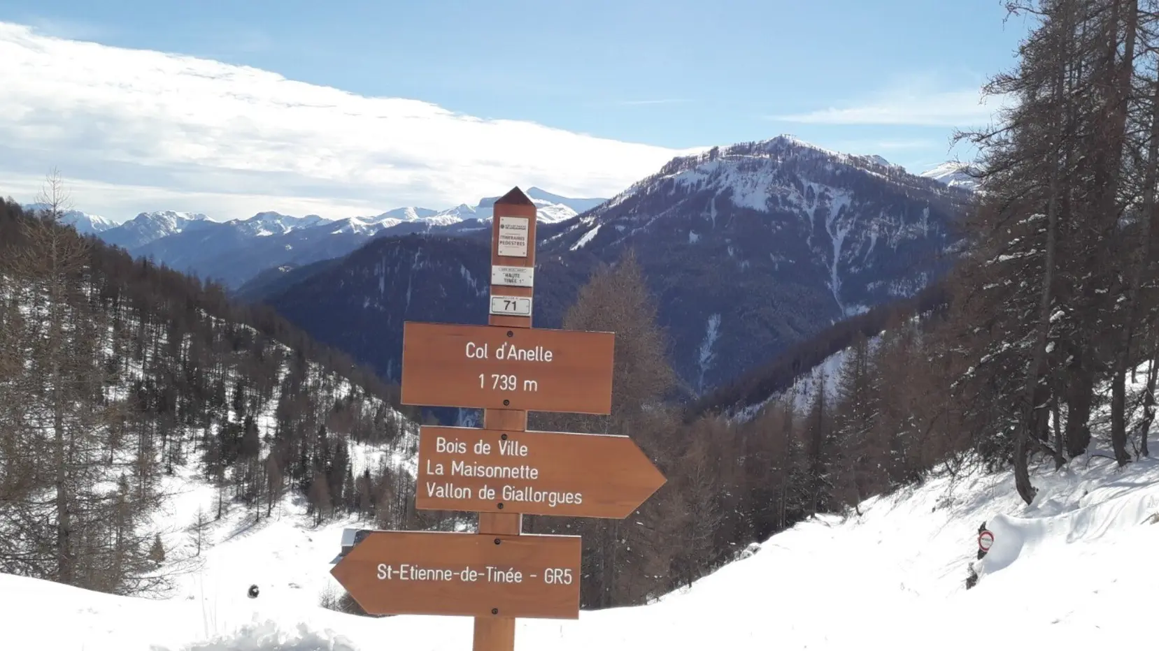
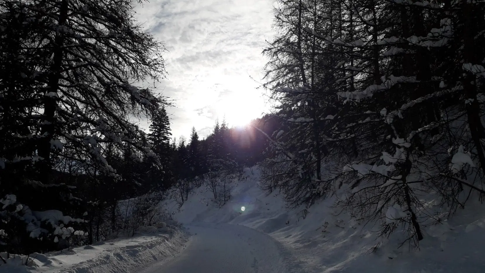
From the village car park (1,500 m), go down under the church and cross the valley of Saint-Dalmas-le-Selvage on a stone bridge (1,476 m); go up towards the south-east the wide forest track marked with GR® which leads to the Anelle pass (1,739 m - b.71) via markers 69, 69a and 70.
Admire as you pass the alpine barns whose only roof emerges in heavy snow. From the pass, a beautiful escape to the Auron ski area and Mont Mounier, with the possibility of shelter nearby in a wooden cabin always open, located on a small hill to the left of the pass.
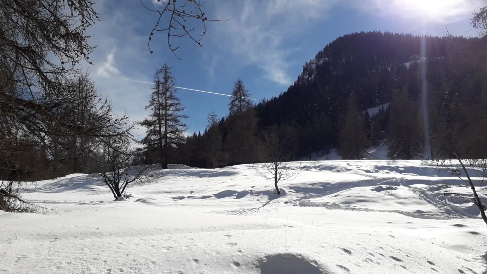
Continue on a track due north in a slight uphill climb to a small pass (1,780 m) and begin (east) the descent into the Anelle woods. Having reached a small clearing (“belvédère de la Tinée”), make a wide movement from right to left to reach the crossed barns on the way up.
Return to Saint-Dalmas-le-Selvage via the route taken on the outward journey.
Read more