On leaving Val des Prés, park at the Draye bridge parking lot.
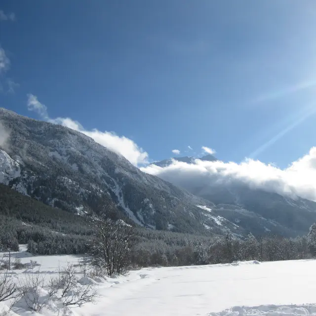
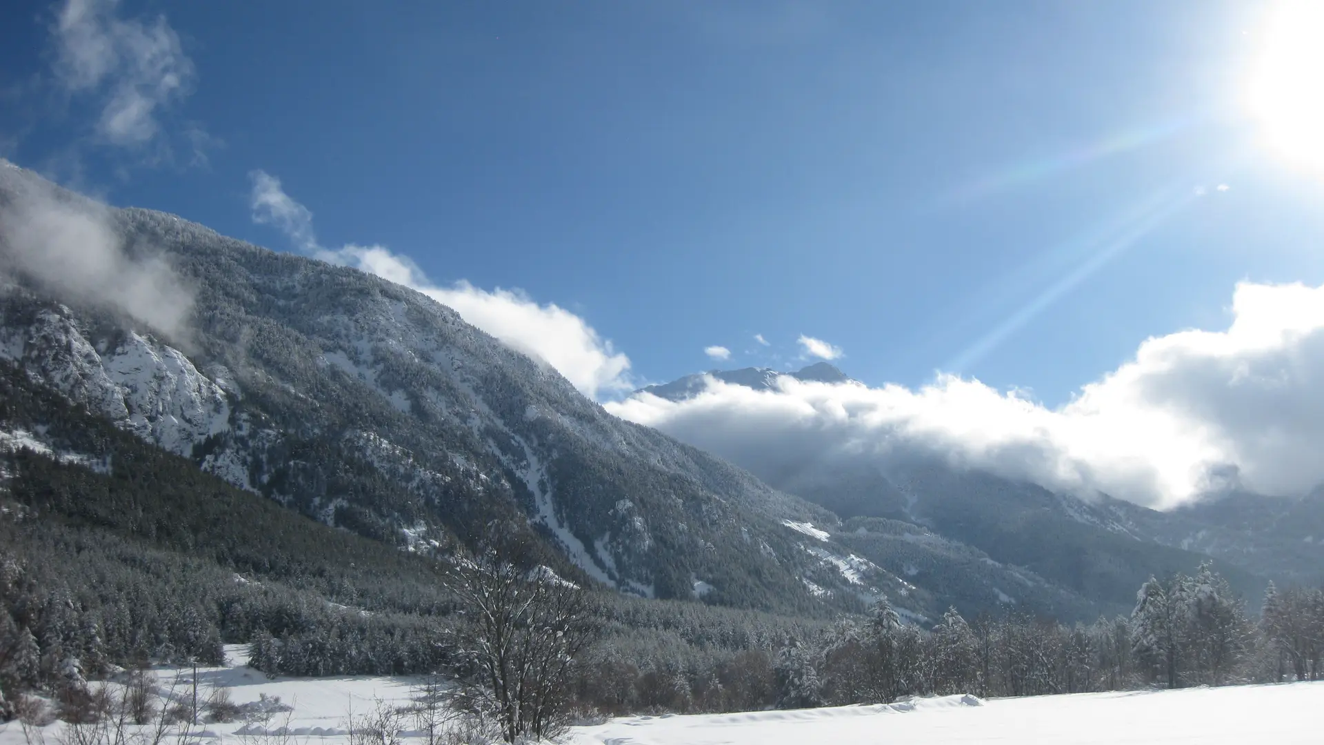
Take the carriage road to the left just before the bridge, passing the last houses in Val des Prés. The road then becomes a wide, snow-covered track through plains and forests along the Clarée to the hamlet of Plampinet.
Ignore the first junction (the left-hand track rises towards a farm), and continue straight ahead on the asphalt road to a second intersection: at this junction, ignore the left-hand track rising towards the chalets and Col du Granon, and continue straight ahead ("grotte des 50 ânes" sign): the track descends through snow-covered meadows at the edge of the forest: this track continues along the river to the hamlet of Plampinet.
Once past the meadows, the trail enters the larch forest and crosses the Granon torrent, then continues along the Clarée to reach a wide footbridge: continue along the trail through the woods to reach a small clearing.
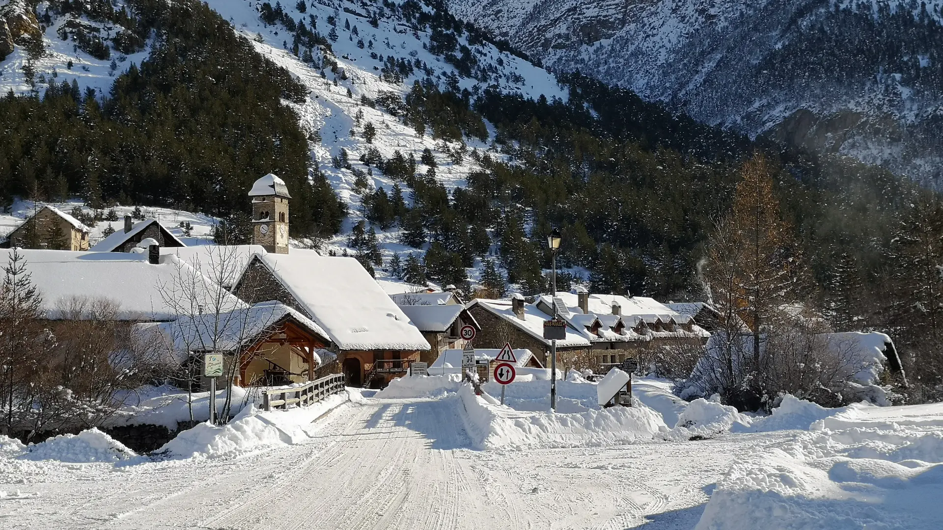
At the end of the path, you come to the edge of the departmental road at the entrance to Plampinet. You can continue your walk through the village.
Return by the same route.
Remain vigilant:
It's essential to be aware of changing weather and snow conditions. Stay alert to avalanche risks by consulting the avalanche risk assessment bulletin.
Mountain guides are there to accompany you on this winter terrain, which they know so well.
Read more