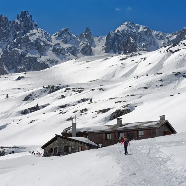
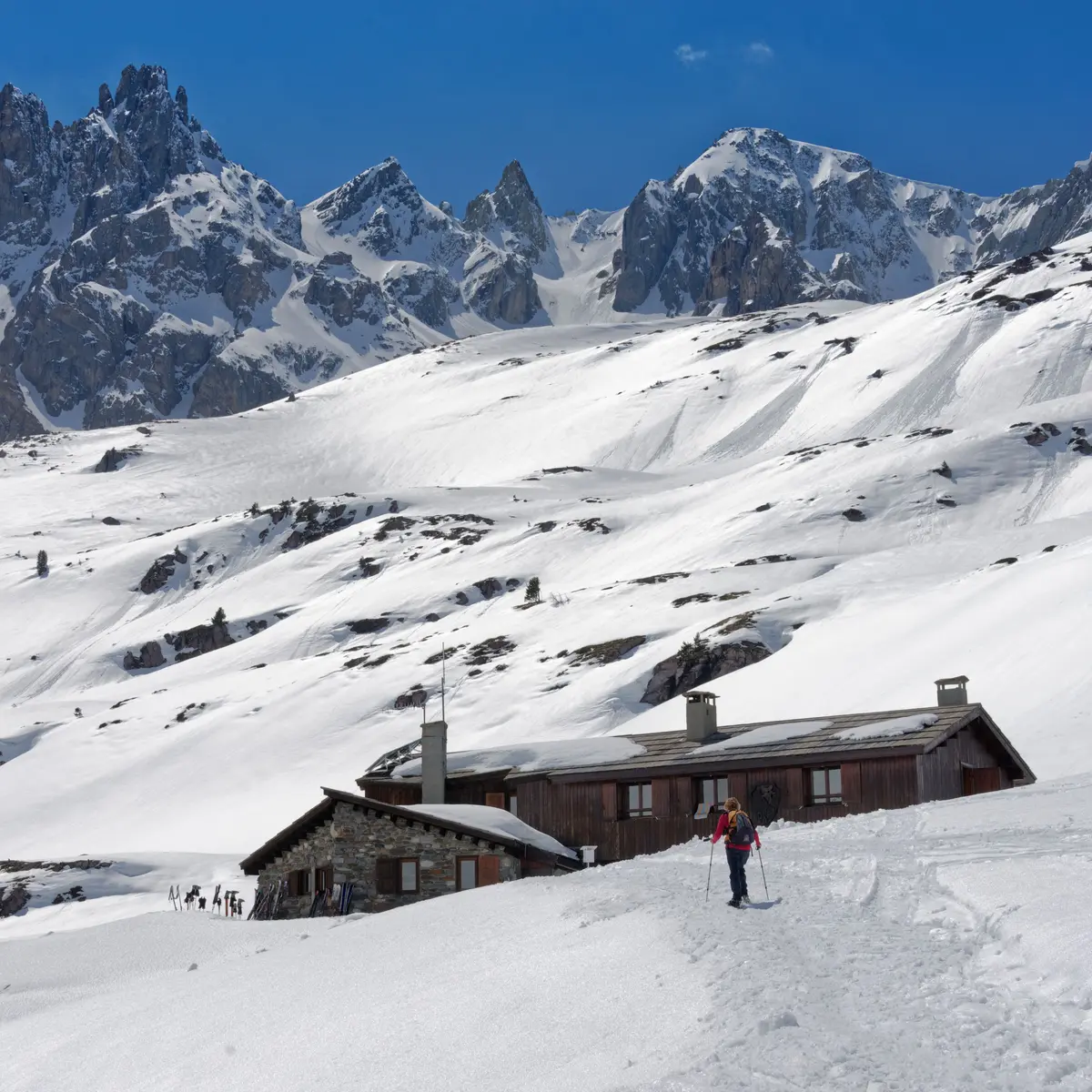
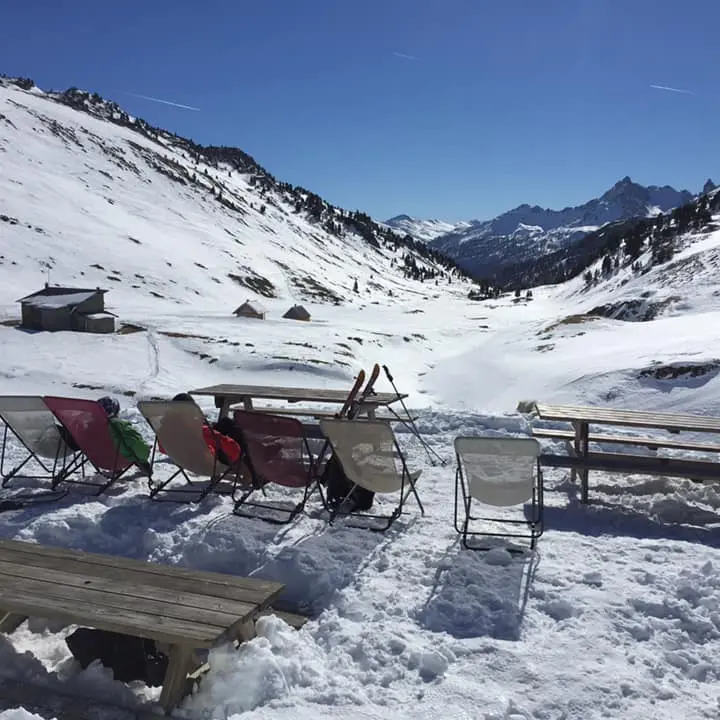
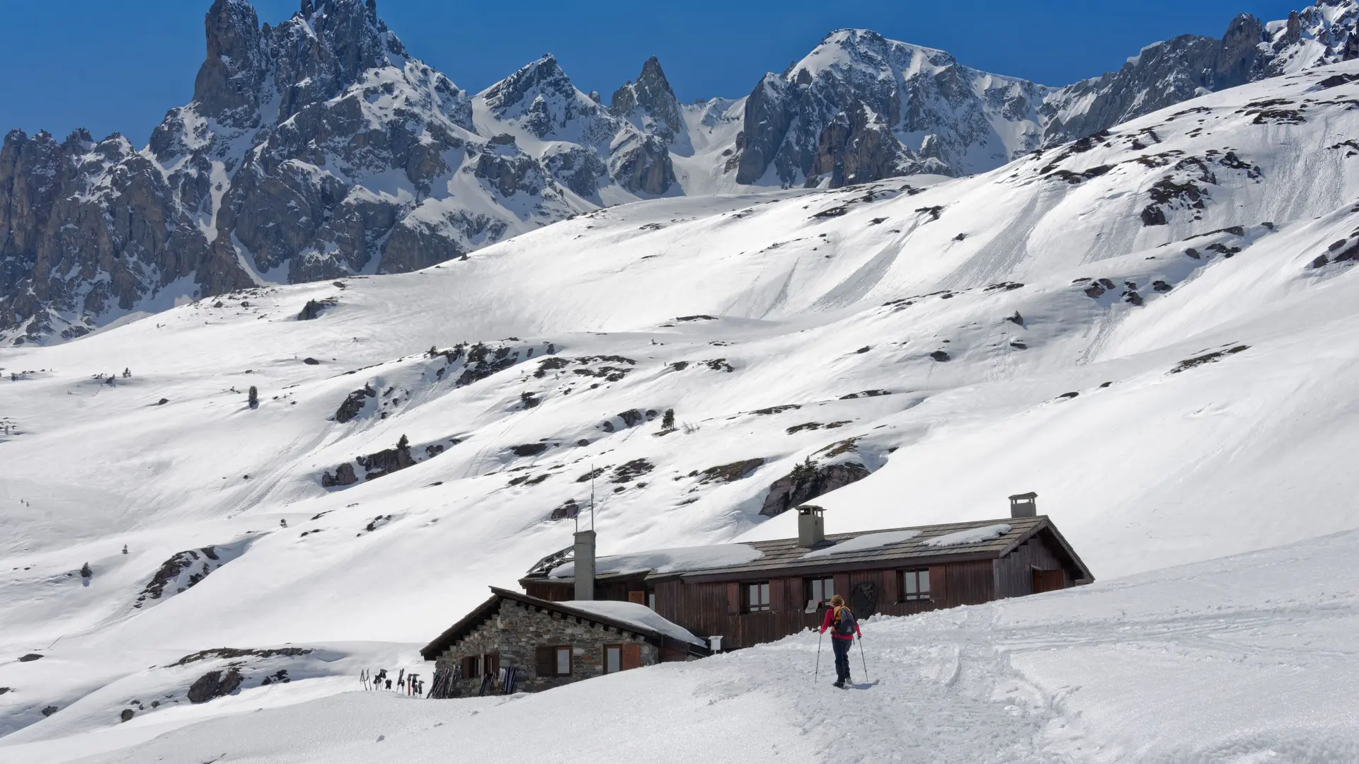
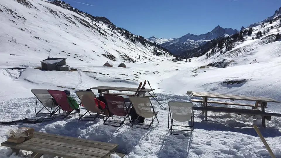
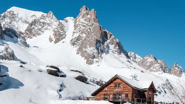
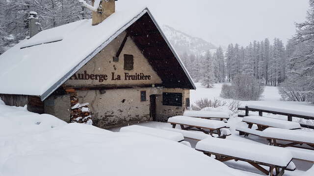
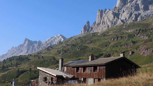
On the edge of the Clarée is the valley's last refuge: Les Drayères. The itinerary may seem long with its 12 km of trails, but effort is quickly rewarded with a view of the Cerces massif... here you'll feel like you've stepped out of time.
Leave your car at the Ville Haute parking lot, then take the high valley road, snow-covered at this time of year. The 10-kilometer trail takes you past snow-covered summer hamlets to the chalets of Laval.
Then, still on the right bank, the road ends and becomes a snowshoe itinerary - usually marked out by the warden and hikers.
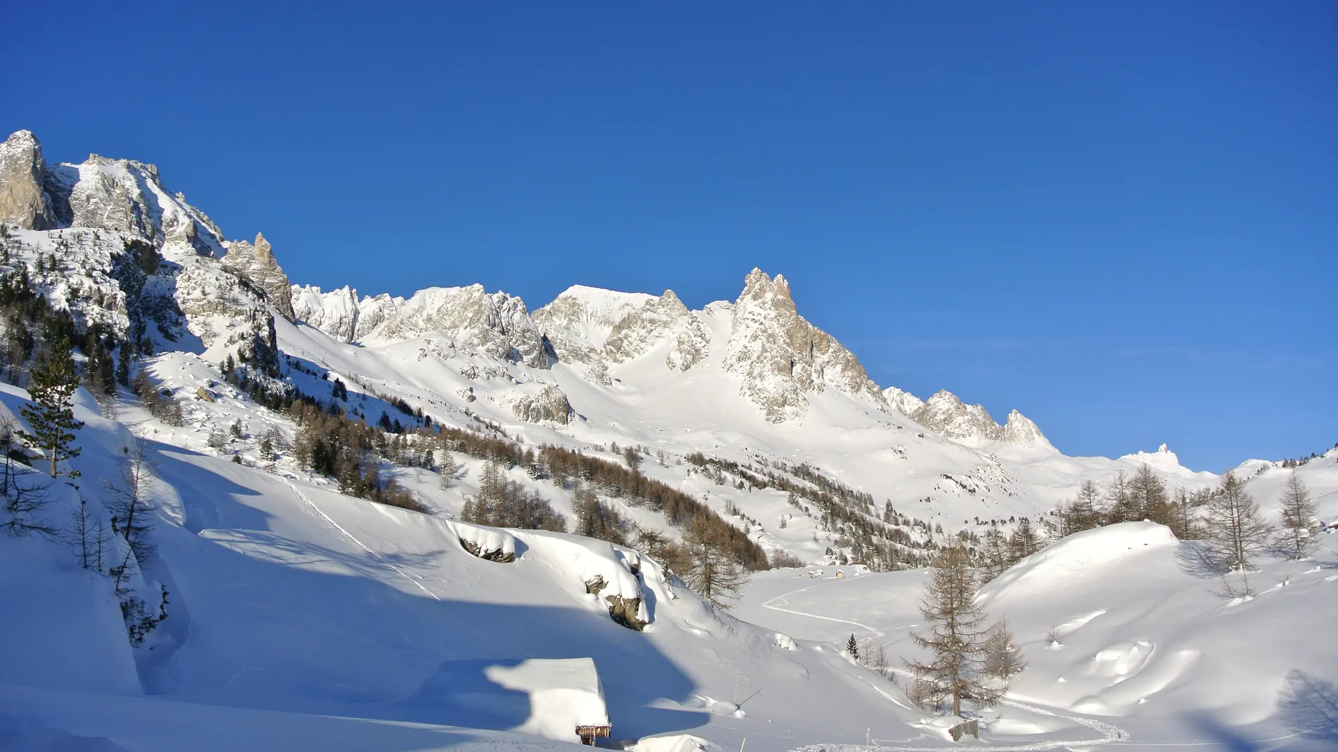
Beware, it's a long way up: allow between 3 and 4 hours if the snow is packed.
In case of bad weather, check the snow conditions on the Haute Vallée route, as wind and snow can slow your progress.
Find out when the refuge is open and remember to book.
Stay alert :
be aware of changing weather and snow conditions. The G.R. and other itineraries used in summer are not always the same as those used in winter - The right bank itinerary between Ville Haute and the Rately bridge is not recommended.
Stay alert to avalanche risks. Our mountain guides are there to guide you on this winter terrain, which they know well.
Due to the risk of avalanches, wearing complete safety equipment (avalanche transceiver, probe, and shovel) is strongly recommended.