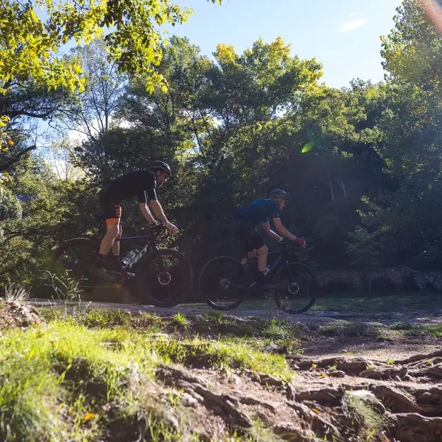
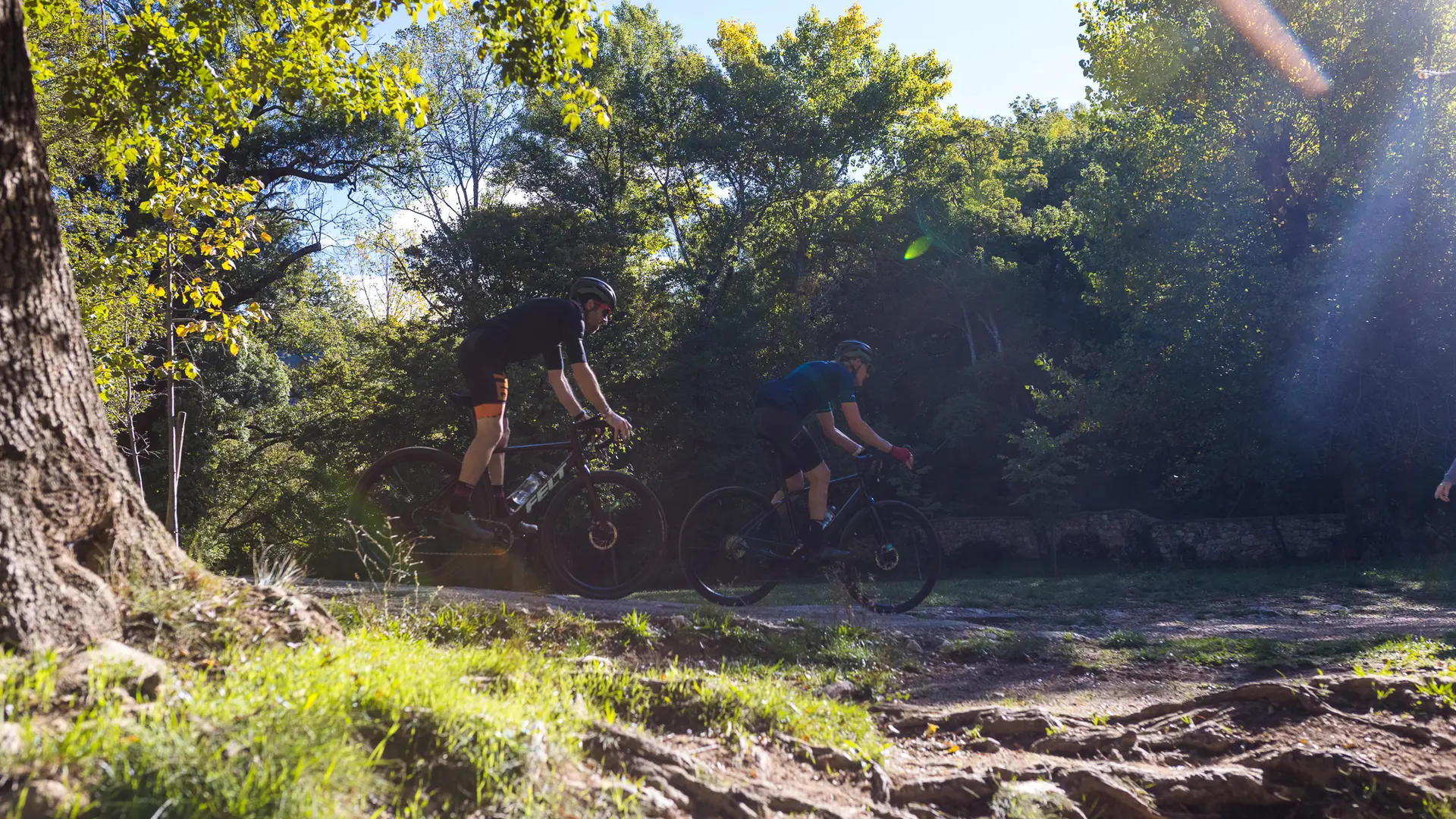
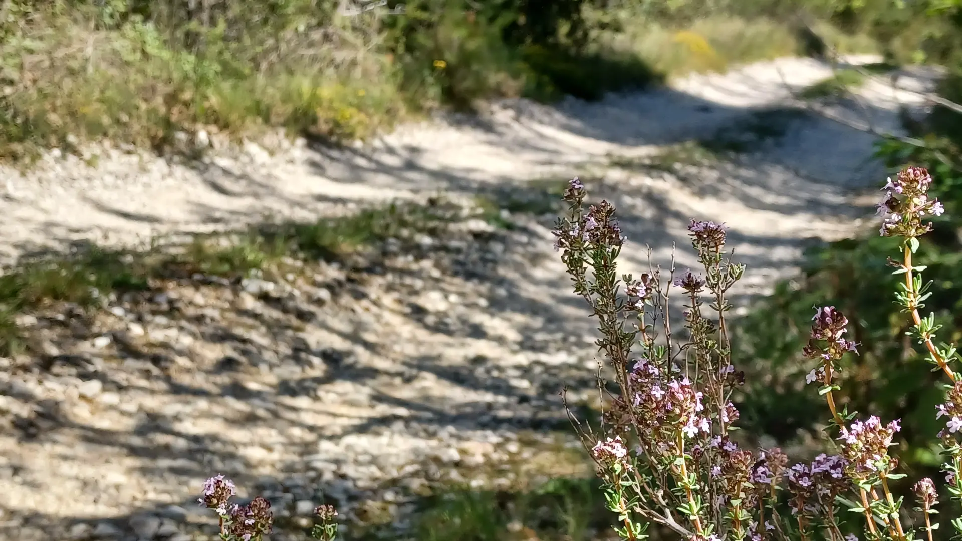
- Voir les favoris
See photos (2)
Soft mountain bike
Sport, Cycling sports, Mountain biking itinerary
in Saint-Zacharie
11.2
km
1h 30min
Very easy
-
A gentle, refreshing getaway you'll want to make!
- Departure
- Saint-Zacharie
-
-
Difference in height
- 275.853 m
-
-
-
Plain text period
- All year round.
-
-
-
Environment
-
-
-
Spoken languages
-
-
-
Documentation
- GPX / KML files allow you to export the trail of your hike to your GPS (or other navigation tool)
-
-
-
Accepted customers
-
- See all reviews
- 276 meters of difference in height
-
- Maximum altitude : 484 m
- Minimum altitude : 259 m
- Total positive elevation : 276 m
- Total negative elevation : -276 m
- Max positive elevation : 111 m
- Min positive elevation : -133 m
Services
-
-
Equipment
-
