The panoramic view of Lac de Serre-Ponçon, the beauty of the lakes and the diversity of the landscapes encountered make this hike, on the border of the Ubaye and Blanche valleys, a must-do in the Alpes de Haute-Provence.
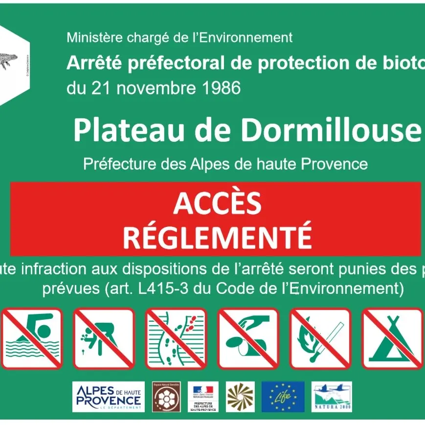
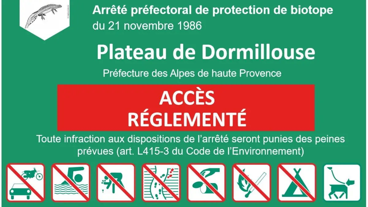
The site of the Col Bas lakes is classified as a fragile site, rich in biodiversity. Do not leave the signposted path (arrêté de protection de biotope n°86-3106). arrêté de protection de biotope n°86-3106
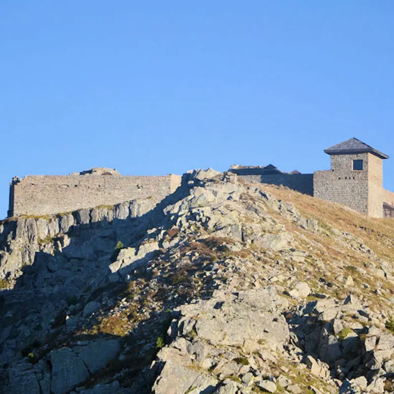
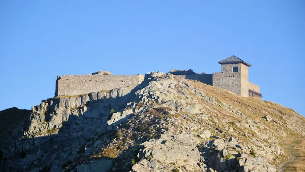
Access by chairlift from the Montclar resort. Stop at La Brèche to access the Fort, compulsory stop at the top of La Brèche and not at the terminal station of the La Brèche chairlift to access the Lac Noir.
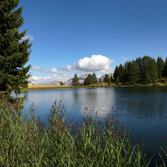
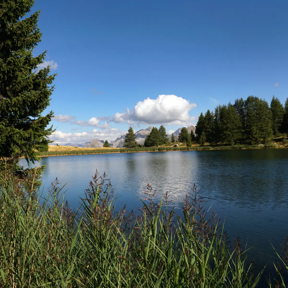
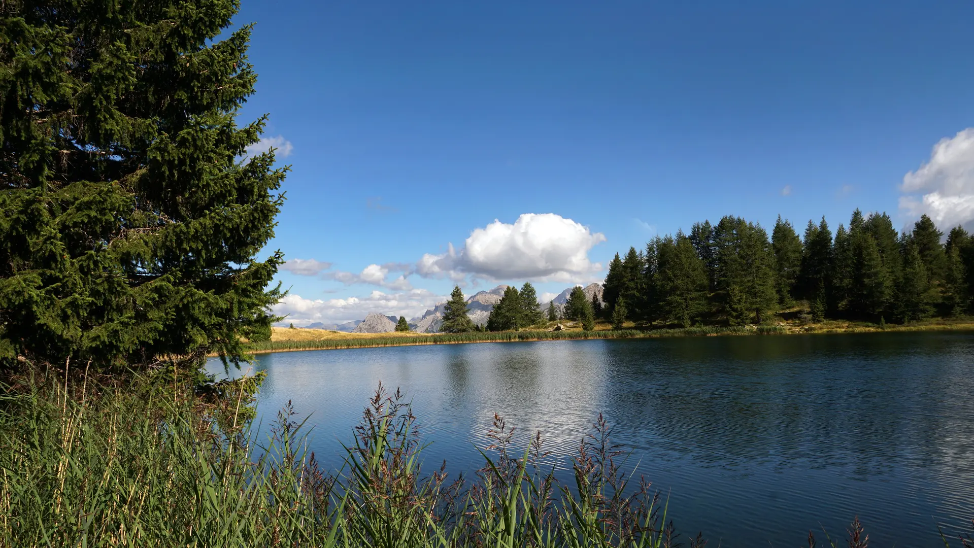
From Lac Noir, you can descend to Lac du Milieu, where you can walk along the larch-lined banks of the lake. Crossing the pastoral mountain of Col-Bas offers a completely different landscape, with an exceptional wealth of plant and animal life.