Le tour de Tête Grosse n°37

Sommet de tête Grosse

Sport, Pedestrian sports, Hiking itinerary in Selonnet
12.9 km
5h
Very difficult
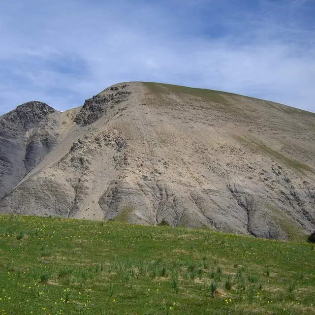
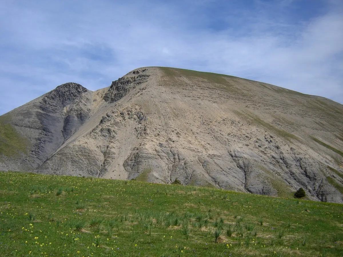
  • You will go through larch forests and meadows in the heart of the Monges mountain range. The plant diversity of the Tête Grosse alpine meadows is remarkable, particularly the species of flowers.

  • "The route follows a wide track through a larch forest, then continues on a trail through alpine meadows. The ascent to Tête Grosse is steep, but at the summit, the panoramic view of the Monges mountains, the La Blanche mountain range, and the high alpine massifs is breathtaking. During springtime, a burst of colours can be seen everywhere. Yellow hues dominate with the famous arnica, the large-flowered leopard’s banes, and the magnificent globeflower, among others. Blue shades are present...
    "The route follows a wide track through a larch forest, then continues on a trail through alpine meadows. The ascent to Tête Grosse is steep, but at the summit, the panoramic view of the Monges mountains, the La Blanche mountain range, and the high alpine massifs is breathtaking. During springtime, a burst of colours can be seen everywhere. Yellow hues dominate with the famous arnica, the large-flowered leopard’s banes, and the magnificent globeflower, among others. Blue shades are present with the germander speedwell, the field gentian, and the alpine bellflower. White tones emerge with the alpine pasqueflower, the Saint Bruno’s lily, and the northern bedstraw. However, some species stand out, such as the orange and the martagon lilies or the protected berardia lanuginosa. Feel free to bring a small book or use your phone to research and identify the flowers in the meadows. But remember that these species are a delight to behold, so please refrain from picking them.
  • Departure
    Selonnet
  • Difference in height
    705.625 m
  • Environment
    • Close to GR footpath
    • Mountain view
    • Panoramic view
    • In the country
    • Mountain location
    • Presence of livestock and guard dogs
    • Close to a public transportation
    • Near shuttle stop
  • Spoken languages
    • French
  • Documentation
    GPX / KML files allow you to export the trail of your hike to your GPS (or other navigation tool)
  • Accepted customers
    • Level black - very hard
706 meters of difference in height
  • Maximum altitude : 2011 m
  • Minimum altitude : 1561 m
  • Total positive elevation : 706 m
  • Total negative elevation : -706 m
  • Max positive elevation : 318 m
  • Min positive elevation : -235 m
Services
  • Accessibility
    • Not accessible in a wheelchair
  • Equipment
    • Free car park
    • Coach parking
    • Car park
    • Public WC
    • Play area
    • Picnic area
  • Services
    • Pets welcome
    • Motorhomes allowed