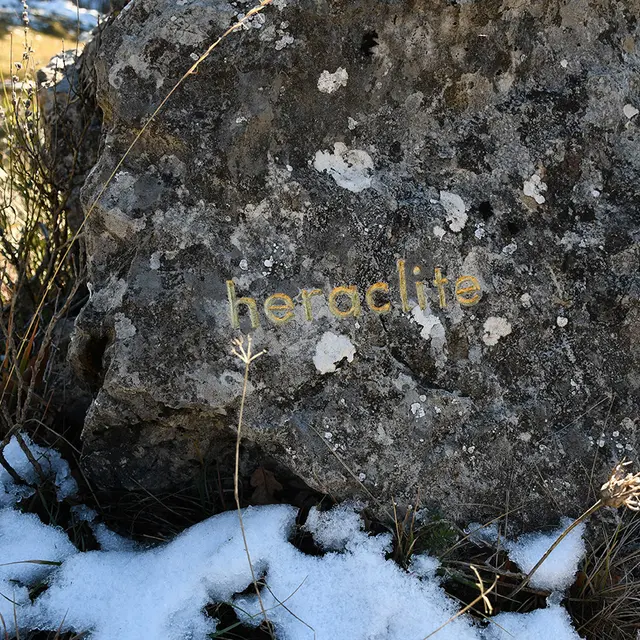
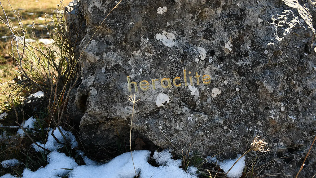
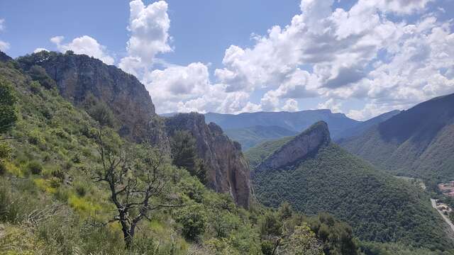
Family hike to discover one of the inspiring works of the artist herman de vries* located at the foot of the Dourbes bar. <i>Le sommet des philosophe</i> is part of the project <i>traces</i> a series of gold leaf engravings on stone.
These engravings, made from 2001, are spread over several sites in the Digne region; searching for them is a very poetic way to discover this region. herman de vries* is a naturalist by profession. His view of the world is strongly influenced by Eastern philosophy. For him, nature is sufficient in itself and does not need to be embellished by art: "nature is art", he says, because it is perpetual creation.
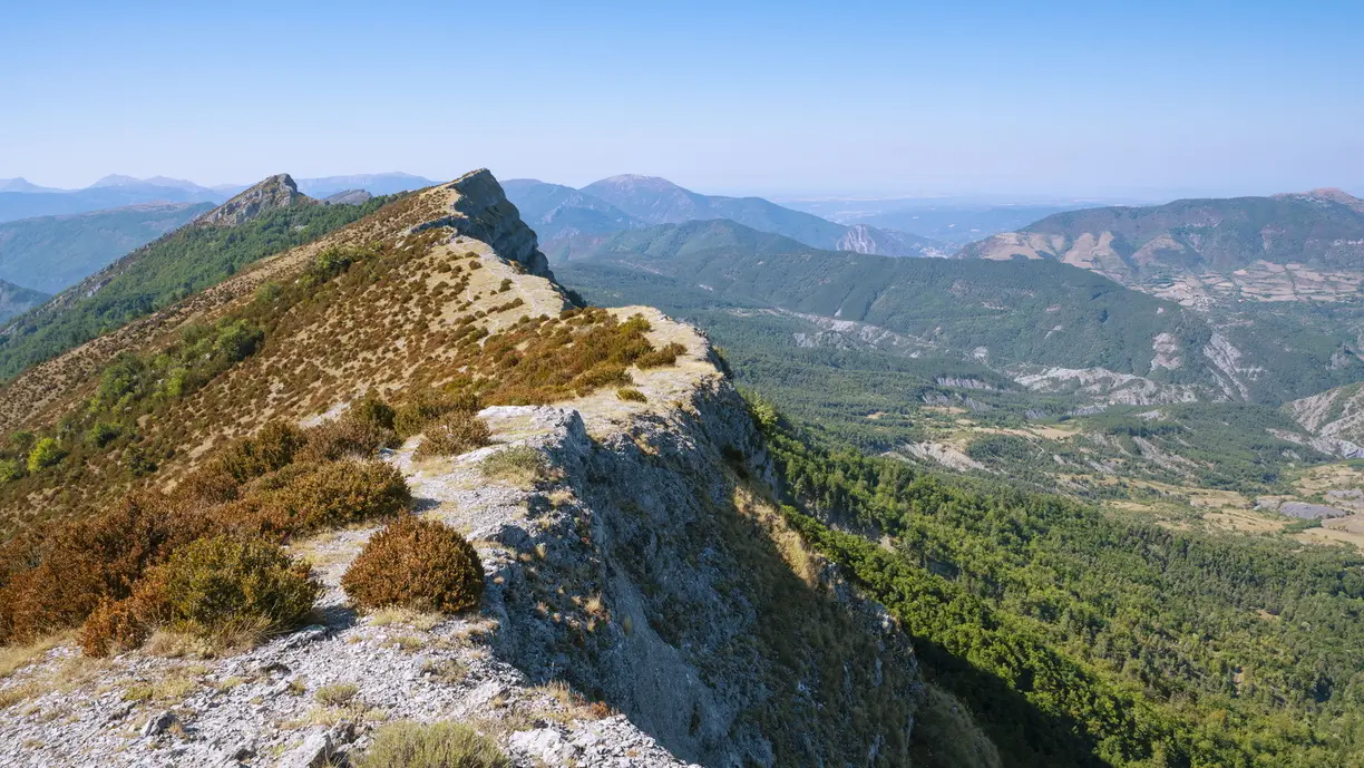
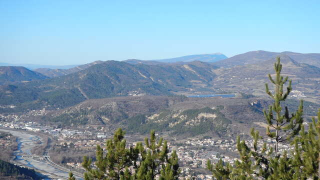
Here, on a hillock at the foot of the Barre des Dourbes, the names of twelve philosophers have been engraved on rocks around the one bearing the word reau (real in Provençal). Their location materializes in space the distance between their thought and reality. The walker is thus invited to engage in a physical experience and a philosophical quest between East and West…
*we respect the artist's wish not to use capital letters, a form of hierarchy
Find the full description of the route in the Topo guide “Art in the mountains, 22 hikes to discover contemporary art in the Haute-Provence Geopark” (€15), available at the reception of the Gassendi Museum, the Maison Alexandra David-Néel, and the tourist office.