- Voir les favoris
See photos (7)
Sous le Pic de Crigne
Sport, Pedestrian sports, Hiking itinerary
in Monêtier-Allemont
3.9
km
-
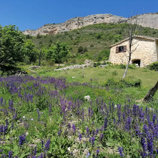
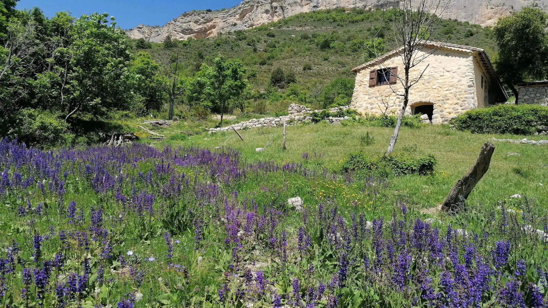
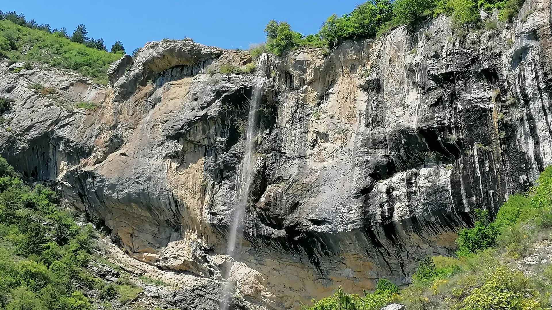
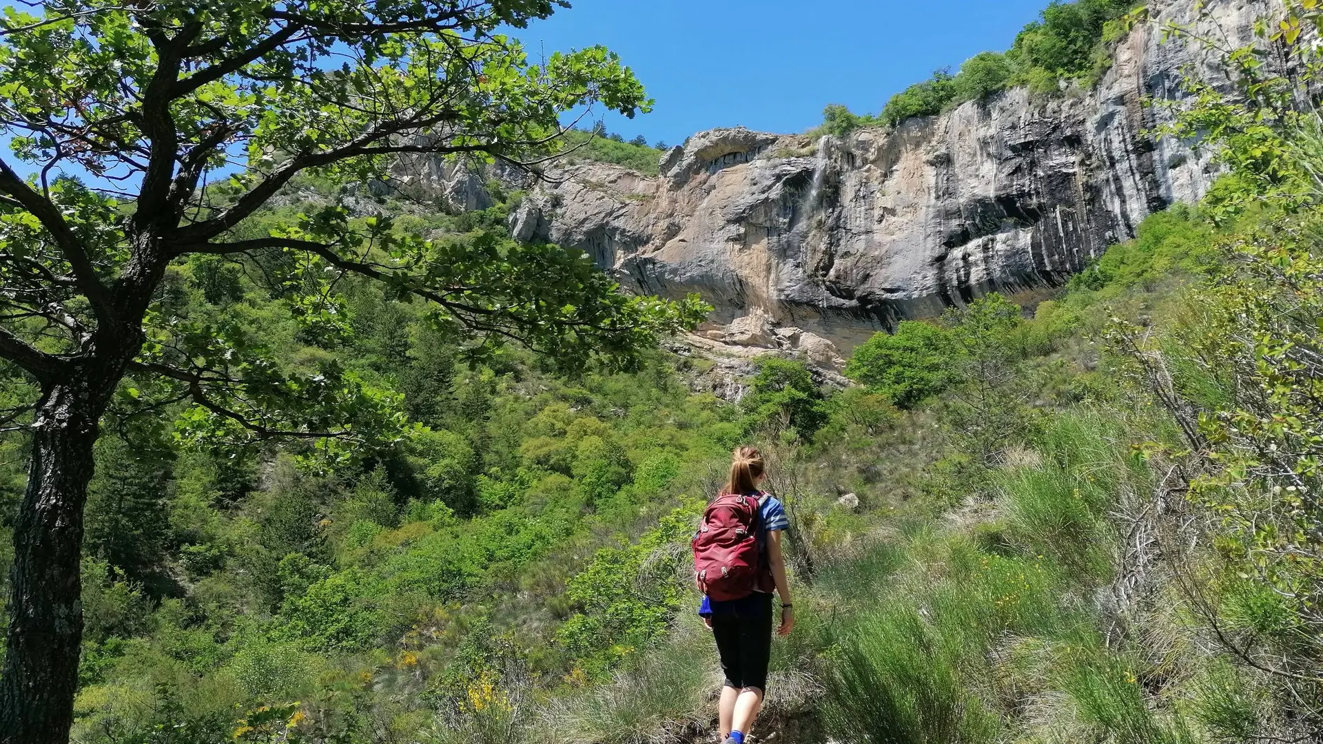
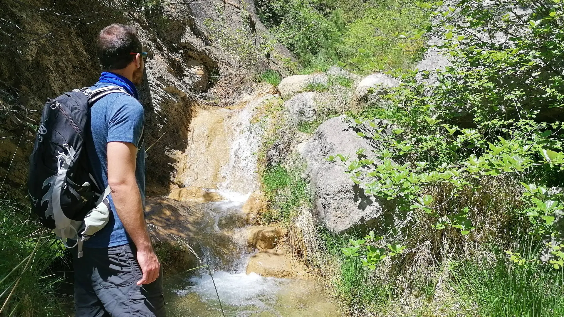
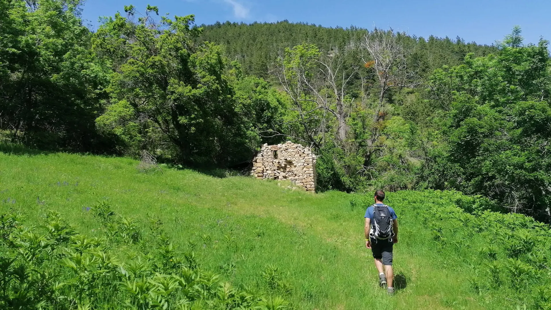
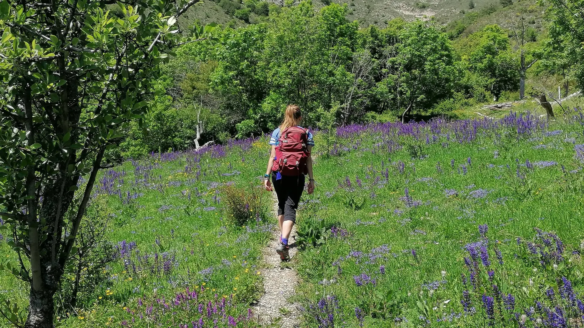
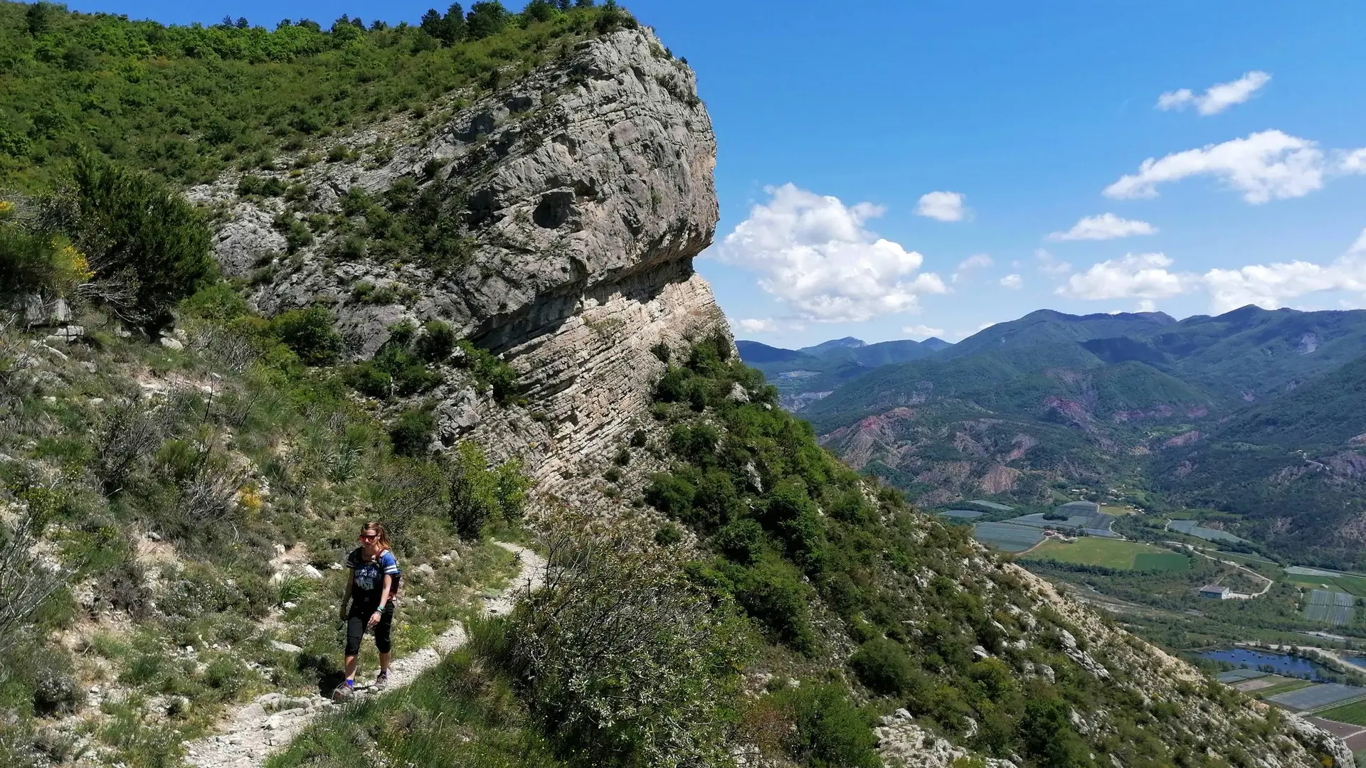
All along this short, hot and wild hike, the path overlooks the Durance valley and its orchards. During the ascent, the Mediterranean vegetation and the remarkable view offer a pleasant surrounding.The Bec de Crigne is a Natura 2000 site for the particul
-
At the end of the small road (which quickly turns into a track) and just after the fruit farm, turn right at the crossroads where the Natura 2000 information panel is located. At the departure, the path runs along the orchards. The path then goes up through the undergrowth and crosses the river sometimes. This old mule track, carved into the rock is climbing and winding along the face of spectacular cliffs. Several viewpoints of the Durance Valley punctuate the ascent. After a long series...
At the end of the small road (which quickly turns into a track) and just after the fruit farm, turn right at the crossroads where the Natura 2000 information panel is located. At the departure, the path runs along the orchards. The path then goes up through the undergrowth and crosses the river sometimes. This old mule track, carved into the rock is climbing and winding along the face of spectacular cliffs. Several viewpoints of the Durance Valley punctuate the ascent. After a long series of bends, the track turns right under the cliff and pass a breach. Continue on the left in a pleasant undergrowth and arrive under the sheepfold of Basse Crigne (950 m).
In the meadow under the sheepfold, the path is almost hidden and branches off to the left (it does not go up towards the sheepfold). Continue a few meters and reach a thalweg. The trail is very pleasant, fairly flat and on a balcony. Continue direction south, through old meadows that the forest is gradually recolonizing. When leaving the forest, reach a track, cross it and take the path almost immediately opposite. The path is wild and climbs parallel to the track (on its left) in the direction of Haute Crigne (please note carefully the markings). Reach the Haute bergerie de Crigne (1130 m).
Go back down by the same route.
Medium
- Departure
- Monêtier-Allemont
-
-
Difference in height
- 402.566 m
-
-
-
Departure : Petite Queylane (ferme fruitière), Monetier-Allemont.
Arrival : Petite Queylane (ferme fruitière), Monetier-Allemont.
Road access : From Laragne (14 km), take the D942 road in the direction of Lazer/Gap. Follow this road upto the Durance canal, before getting to Monêtier-Allemont. Turn left just before the bridge above the canal, and follow the road upto the next brigde on this canal. Once at the bridge, take left through a small road. Pass a fruit cooperative, and park on a large area at the end of the road, where it becommes a dirt track (water tank). The hike starts from there..
Parking recommended : Parking à côté du réservoir d'eau, juste au dessus du panneau Natura 2000, Petite Queylane (Monetier-Allemont) .
Public transport : Think about public transport and carpooling: https://zou.maregionsud.fr .
- See all reviews
- 403 meters of difference in height
-
- Maximum altitude : 959 m
- Minimum altitude : 606 m
- Total positive elevation : 403 m
- Total negative elevation : -403 m
- Max positive elevation : 310 m
- Min positive elevation : -64 m
