Transitional route between the Massif du Ventoux and the Monts de Vaucluse, passing the Gorges de la Nesque. Magnificent lavender landscapes, limestone cliffs, borie villages, forest, and scrubland between Ventoux and Luberon that will make you forget the difficult passages of your journey.
A more technical stage, but also an exceptional one! From Sault, you reach an easy descent that leads you to the gates of the Gorges de la Nesque. The route then climbs to the Monts de Vaucluse by a beautiful road, until reaching the stage’s accommodation in Saint-Hubert.
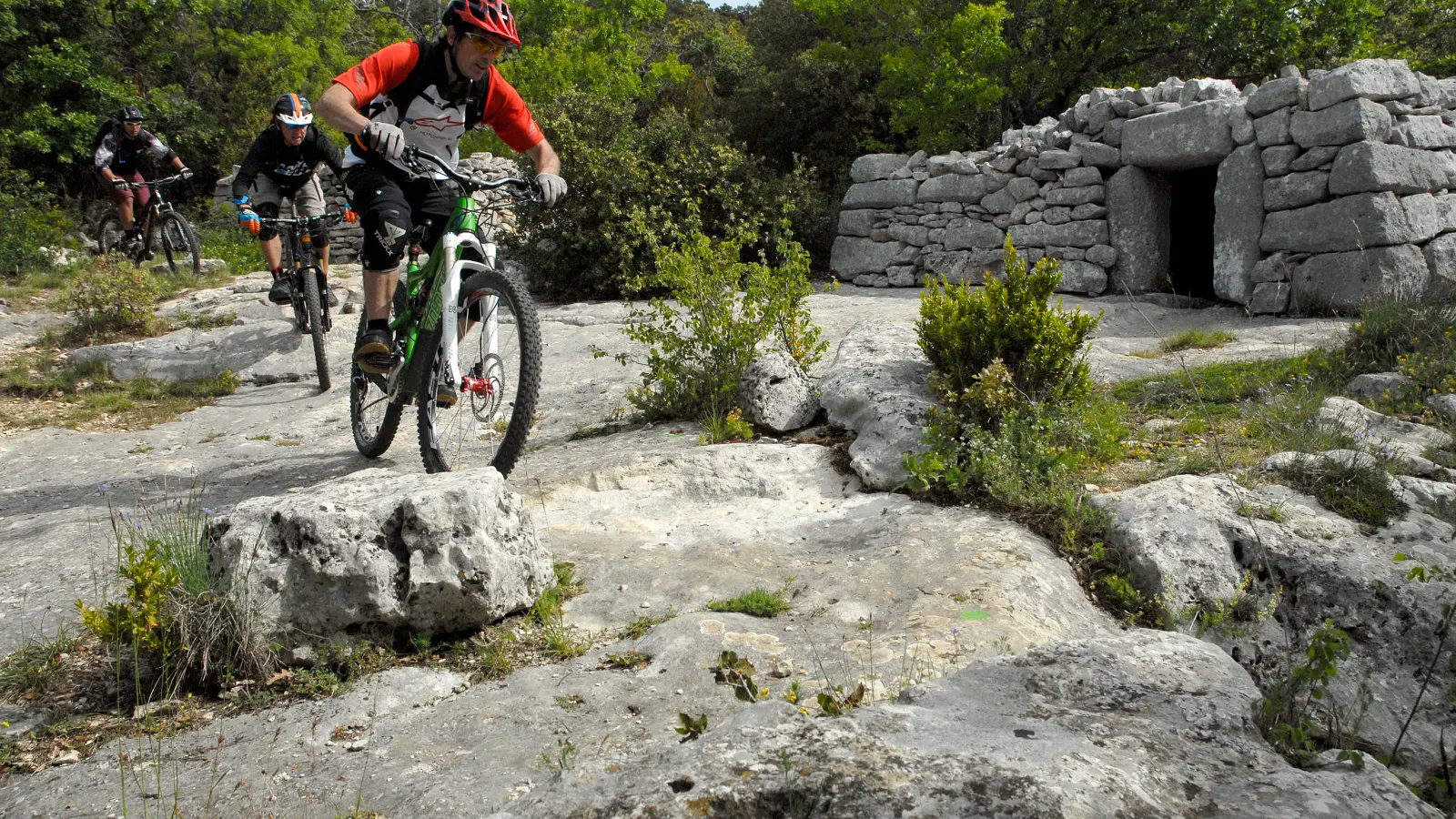
You then enter the territory of the Luberon Regional Natural Park, through a succession of paths and tracks between rocky valleys and the depths of anticlinal valleys. After this, the passage through the abandoned village of Travignon will remain etched in your memories. The heritage built in dry stone, including magnificent stone water basins, is remarkable here.
Read more