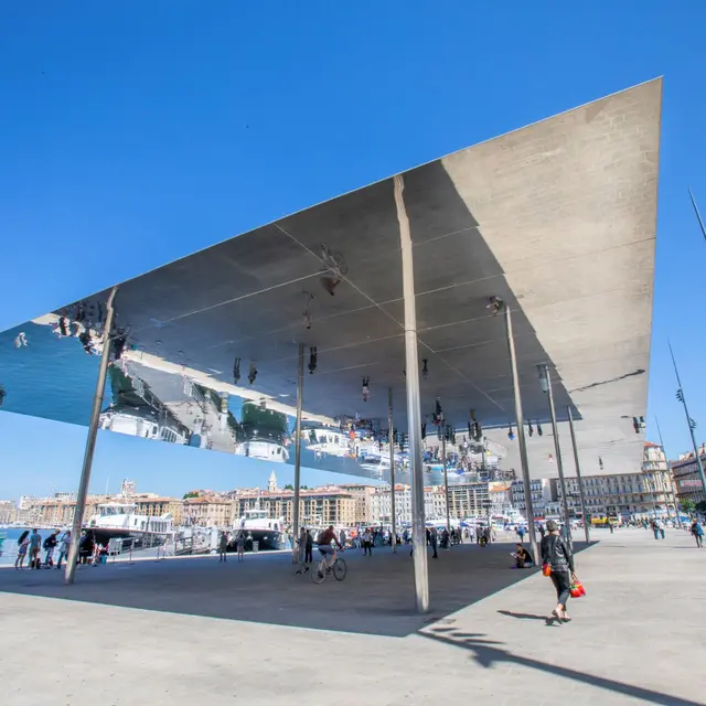
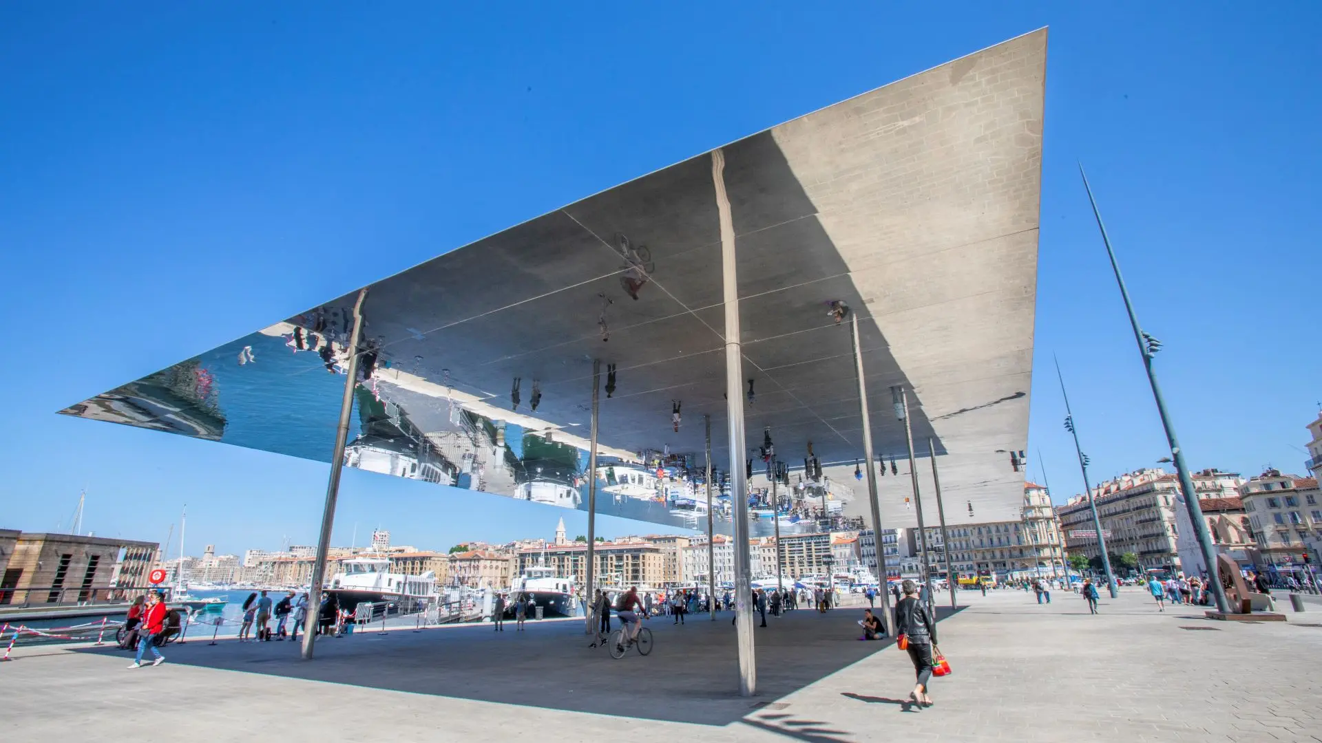
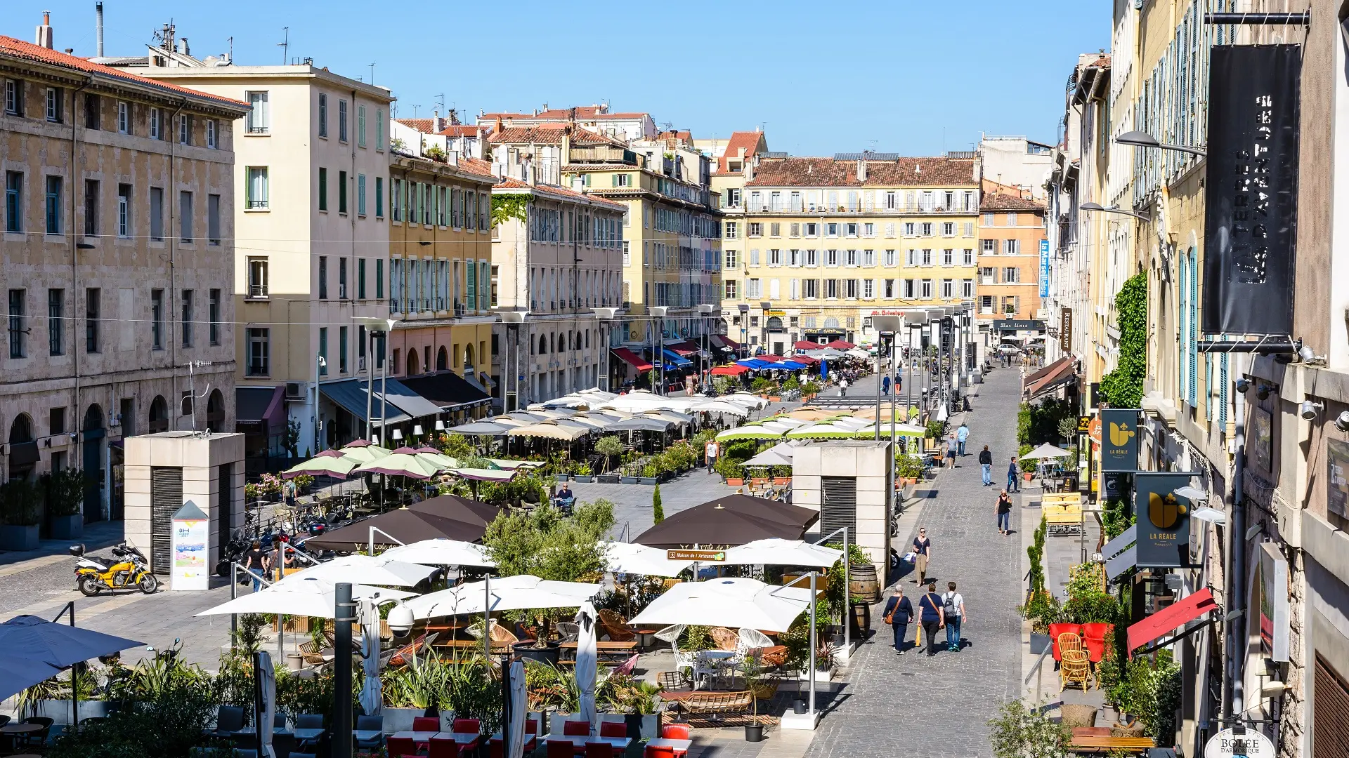
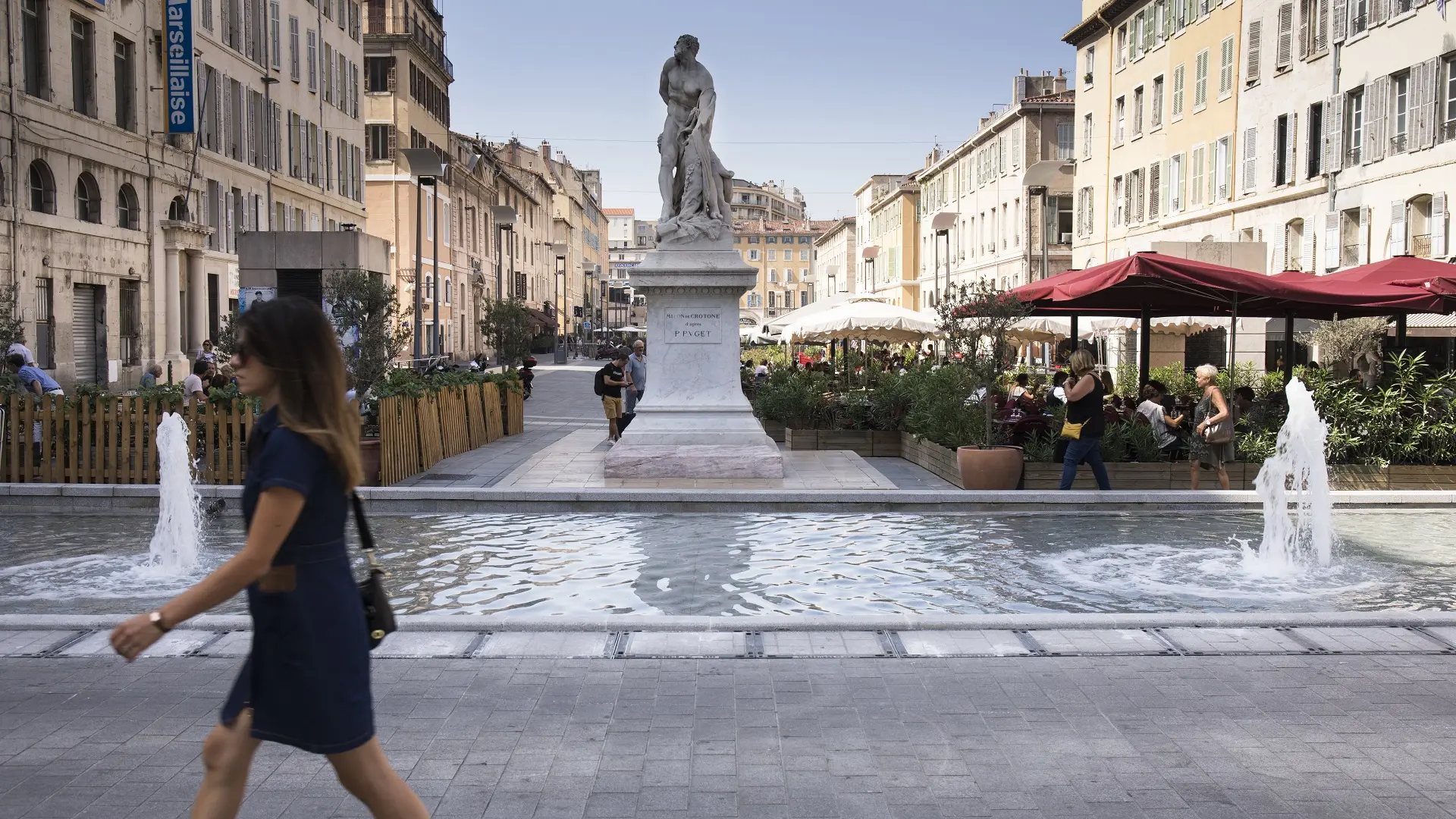
Leaving Norman Foster's shade on the Old Port (1), walk along the Quai de Rive-Neuve. Turn left into rue Fortia, cross Cours Estienne d'Orves, a large Italian-style square (2), then join rue Emile Pollak to Cours Pierre Puget, skirting the Palais de Justice (3). Turn right up Cours Pierre Puget and pause in front of the entrance to the Colline Puget garden (4).
Follow the winding path through the park until you reach the Sépia restaurant. On the left, there's an exit over a small bridge and a staircase leading to rue des Lices. As its name suggests, this is an ancient rampart wall that marked the boundary of the city of Marseille in the 17th century.
Cross the small square planted with magnolias and a palm tree to reach rue d'Endoume.
Join the grand avenue de la Corse, where hackberry and plane trees provide shade until you reach the junction with the Place du 4 septembre, its hackberry trees and avenue Pasteur. Rue Girardin, which joins the end of Avenue de la Corse, leads to Plage des Catalans (5), dominated by the Lazaret tower.
This beach is ideal for a refreshing swim. Its waters are also home to the Musée Subaquatique de Marseille (6), which can be explored by simply taking a few dips in the water with a mask and snorkel.
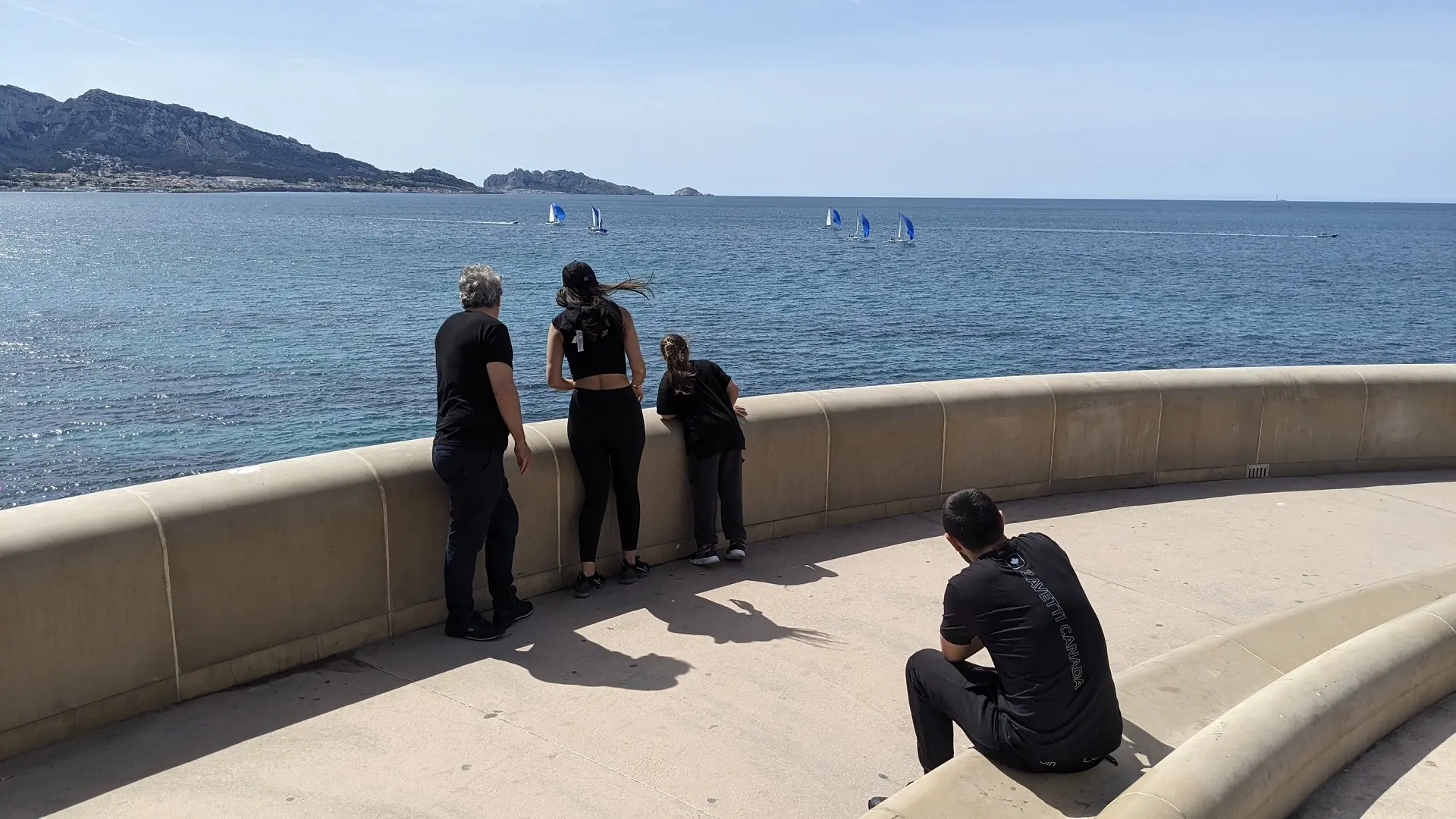
Then, for almost 5 km, the route follows a structuring coastal axis that links districts such as the Vieux-Port, Les Catalans and Malmousque along the seafront. The route follows a single artery all the way to the Olympic Marina: the famous Corniche Kennedy (7), where you'll find, in order :
- The Monument de l'Armée aux Morts de l'Armée d'Orient (8)
- Vallon des Auffes (9)
- Le Marégraphe (10)
- Villa Valmer Park (11 and 12)
- La Plage du Prophète (13)
- Memorial des rapatriés aka, l'hélice de César (14)
- The nautical stadium (ex Olympic marina) (15)
And let's not forget the many "follies" - villas and bastides built in the mid-19th century that dominate the Corniche from the hills of the Bompard and Roucas Blanc districts. We've already mentioned Villa Valmer, where the architect drew inspiration from the Renaissance style. This style is also to be found at Château Berger (now Promicea), which bears some similarities (albeit on a much smaller scale) to the Château de Chambord, with its slate roof and bell towers. But there are others to be found behind the vegetation.
Read more