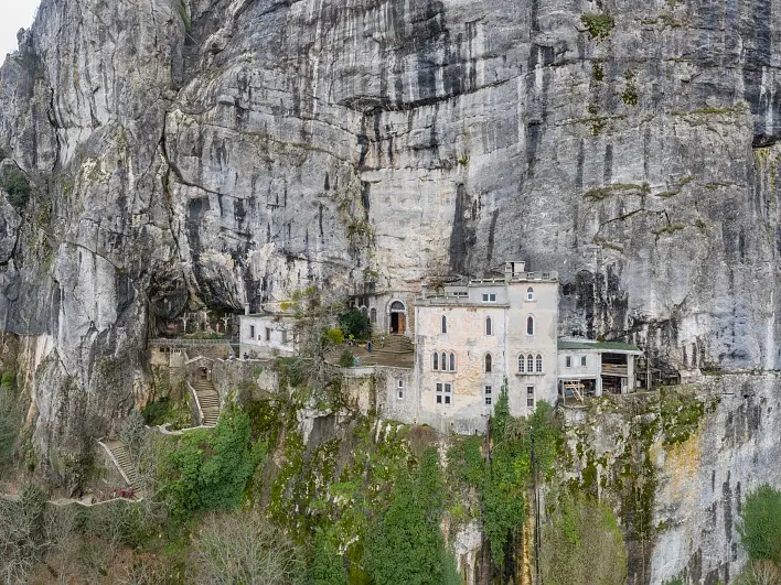
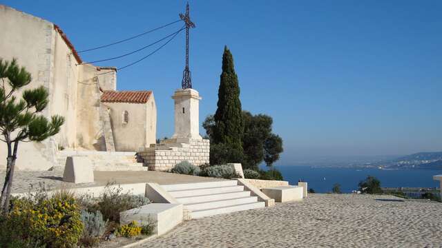
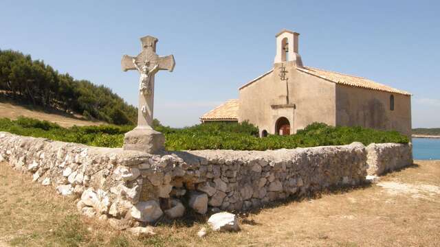
- Voir les favoris
Sur les pas de Marie Madeleine : Etape 10, Du Plan d'Aups à Saint Maximin la Sainte Baume
Sport, Pedestrian sports, Course, Hiking itinerary
in Plan-d'Aups-Sainte-Baume
27.6
km
- Departure
- Plan-d'Aups-Sainte-Baume
-
-
Difference in height
- 484.498 m
-
-
-
Plain text period
- All year round daily.
-
-
-
Environment
-
-
-
Spoken languages
-
-
-
Documentation
- GPX / KML files allow you to export the trail of your hike to your GPS (or other navigation tool)
-
-
-
Accepted customers
-
- See all reviews
- 484 meters of difference in height
-
- Maximum altitude : 701 m
- Minimum altitude : 305 m
- Total positive elevation : 484 m
- Total negative elevation : -850 m
- Max positive elevation : 166 m
- Min positive elevation : -278 m

