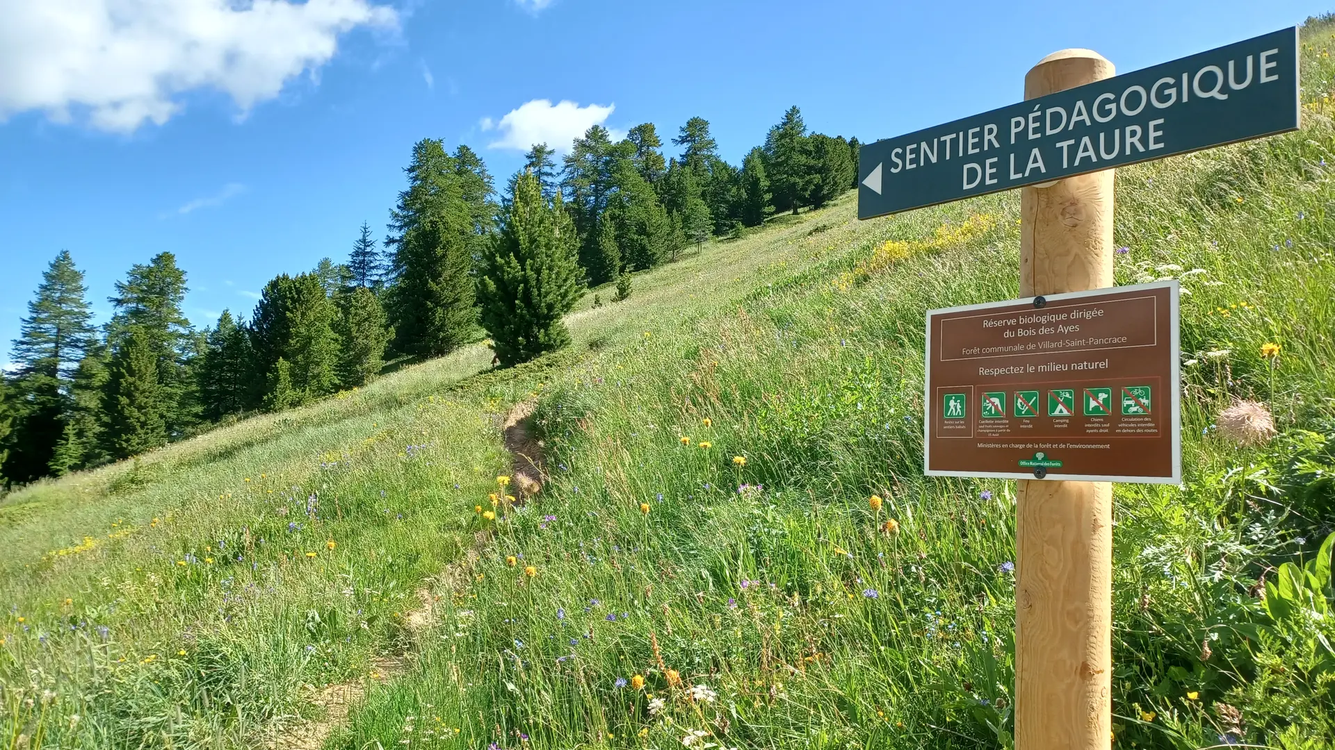
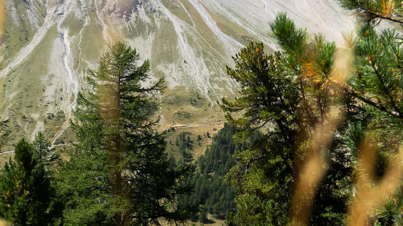
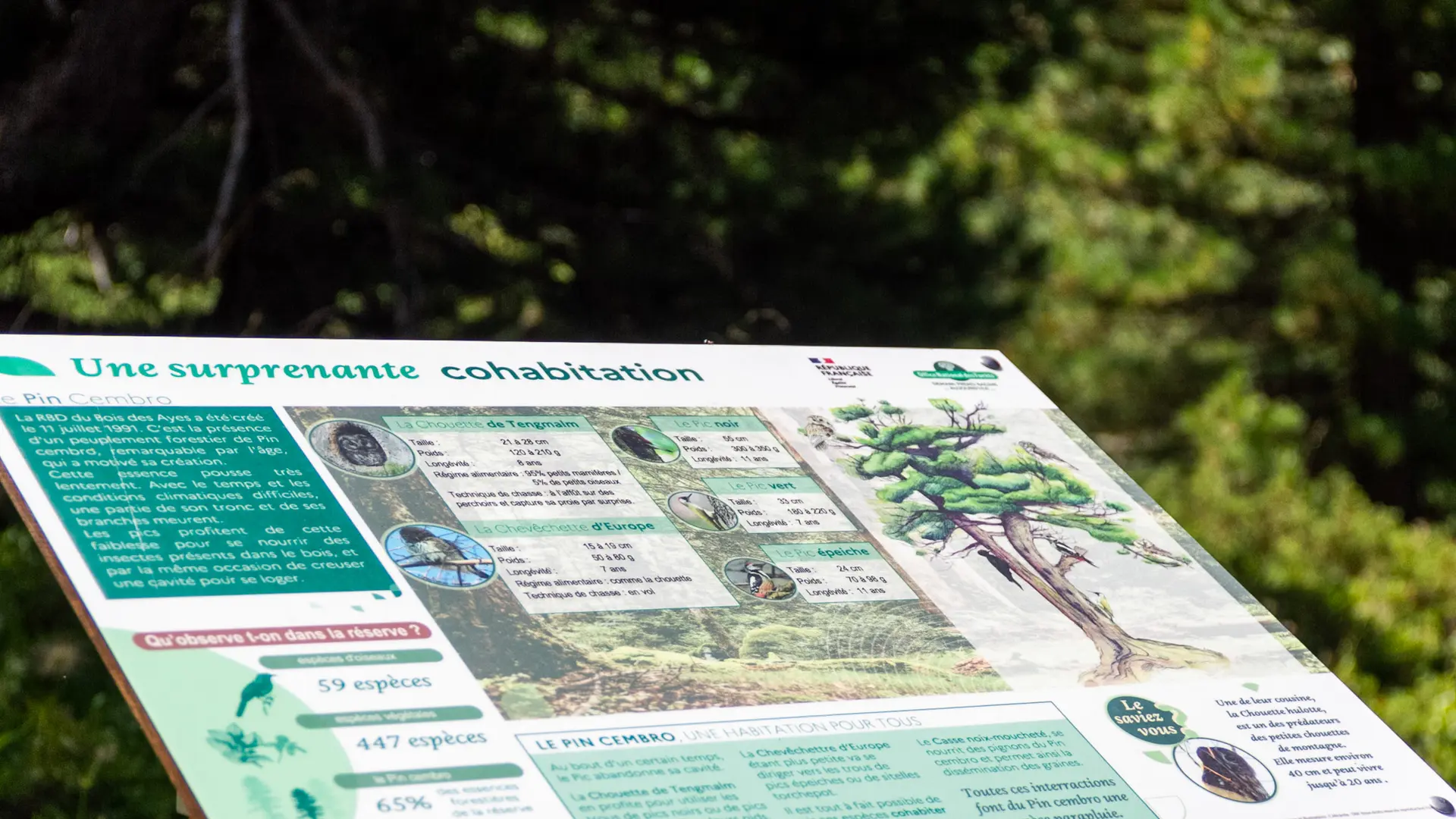
Did you know that the Cembro Pine is present in the Bois des Ayes biological reserve? The reserve was created in the 1980s to preserve this remarkable heritage. Some of the pines are over 600 years old!
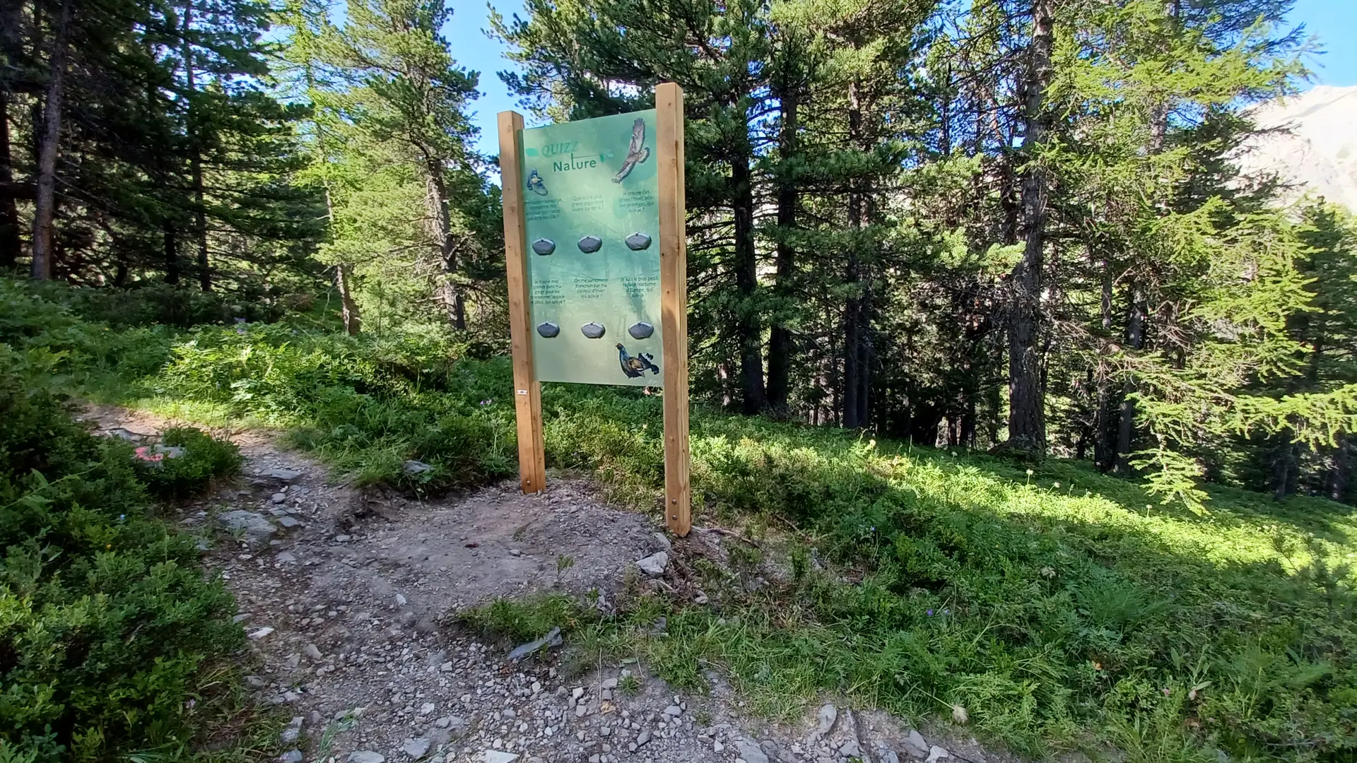
The wood is home to many species that find refuge in these pines, including the little owl and the Tengmalm's owl. It's also an important territory for the Tétras-Lyre.
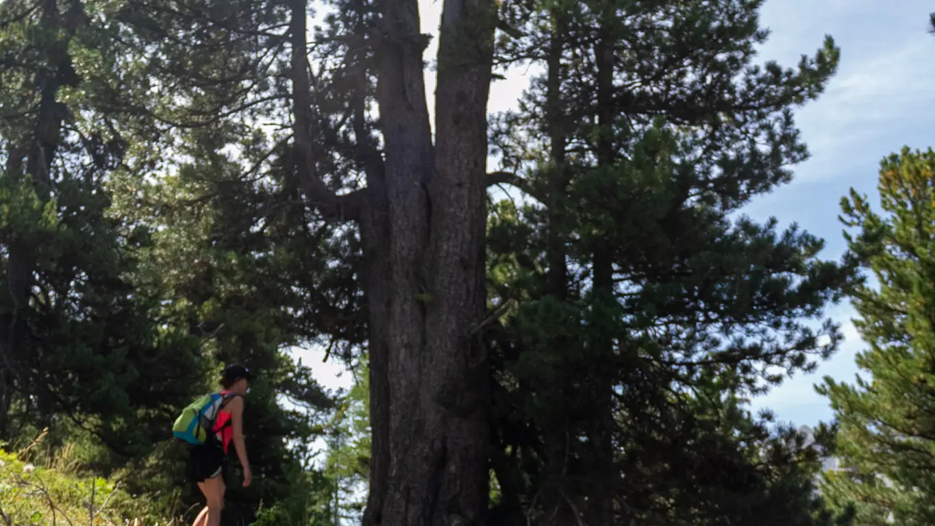
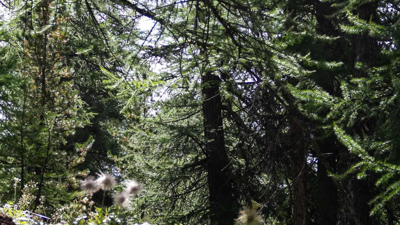
From Plan Peyron, at the foot of the biological reserve, you'll find the start of the Taure educational trail. This trail climbs 380 meters through the forest. You'll pass from the dense presence of the mélézin to the centuries-old pine forest of Pins cembros.
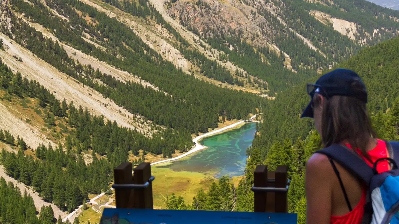
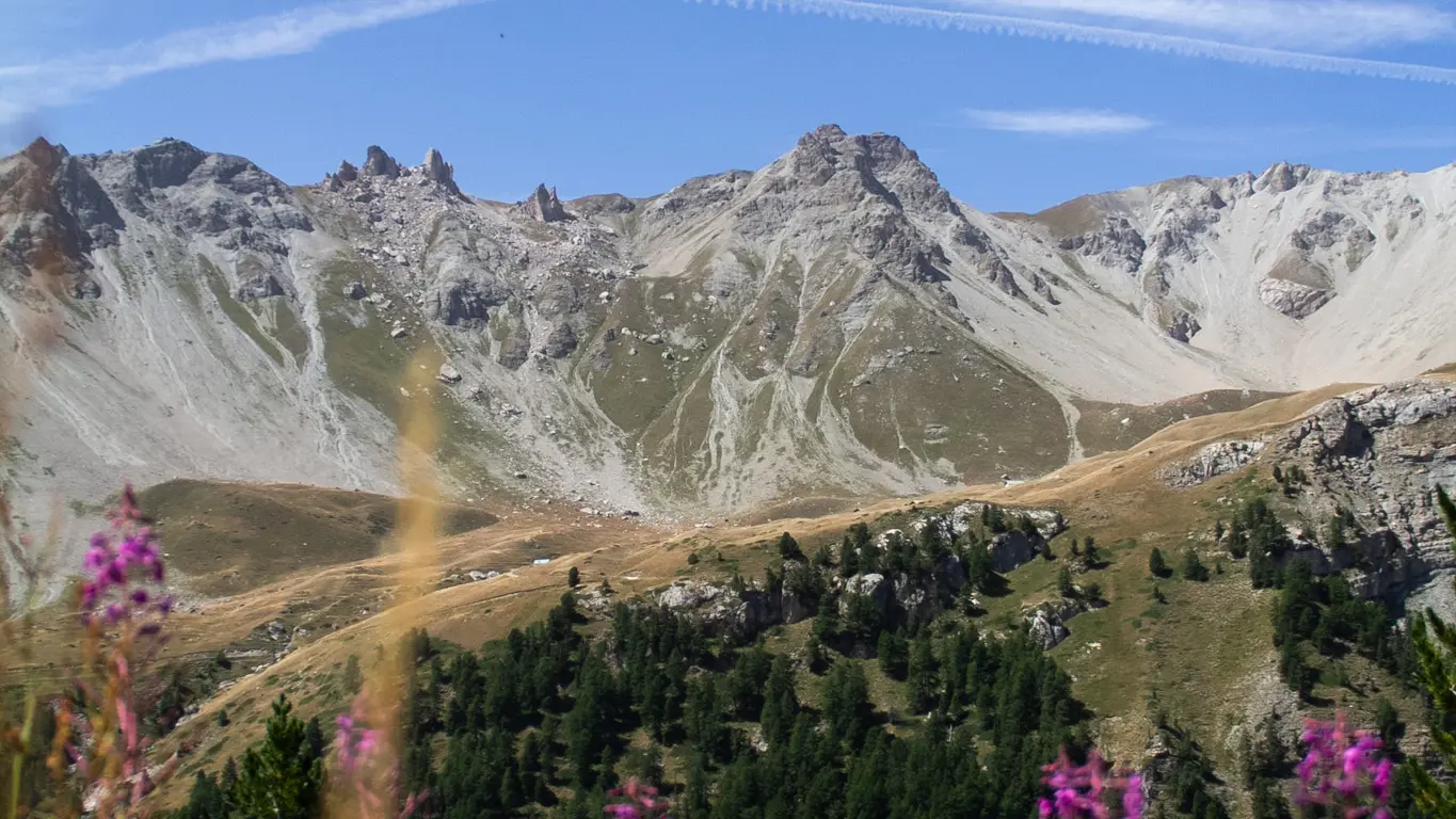
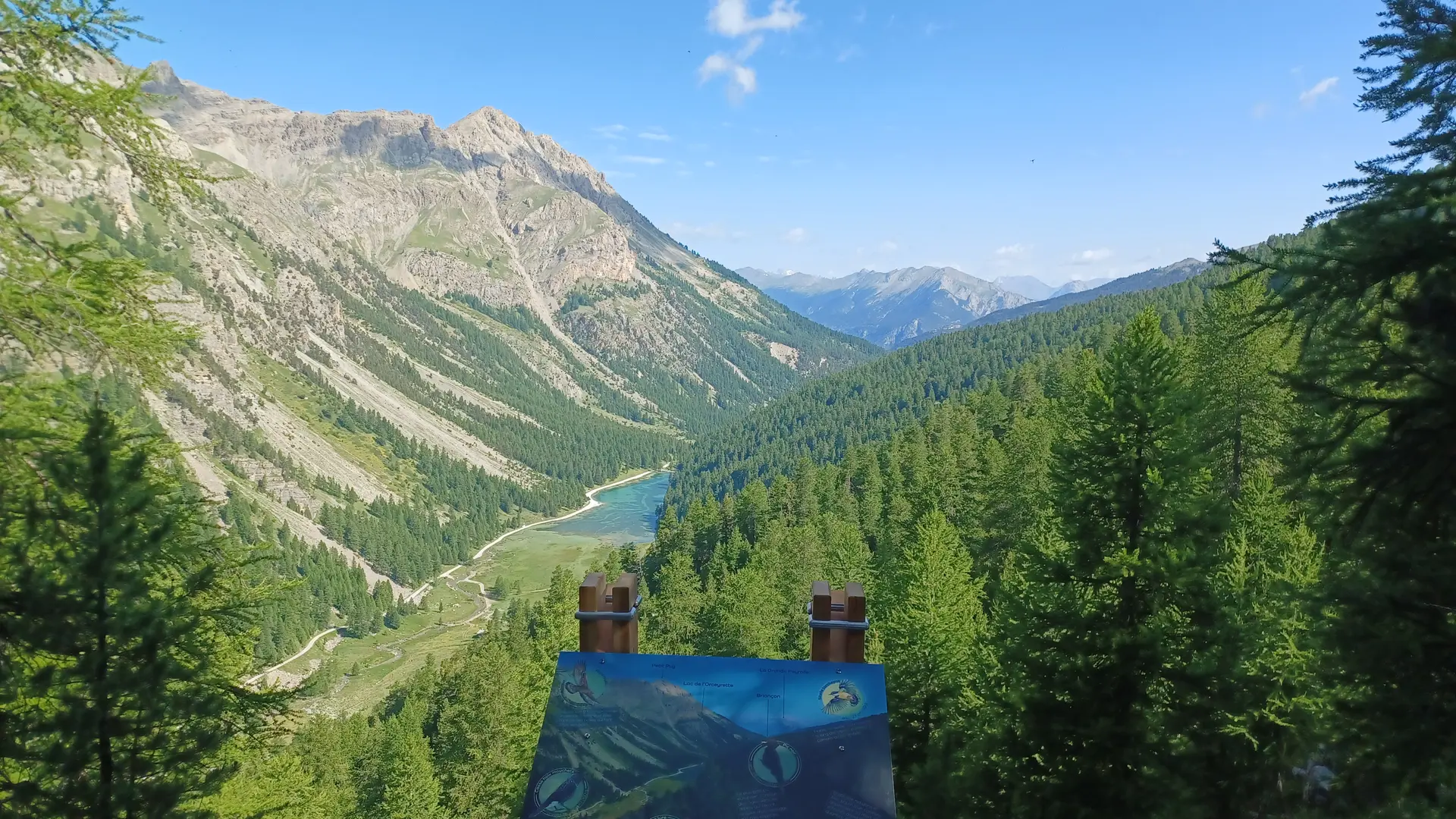
You can either stop in a clearing to admire the scenery, or continue south to join a flat trail with a magnificent view of Lac de l'Orceyrette.
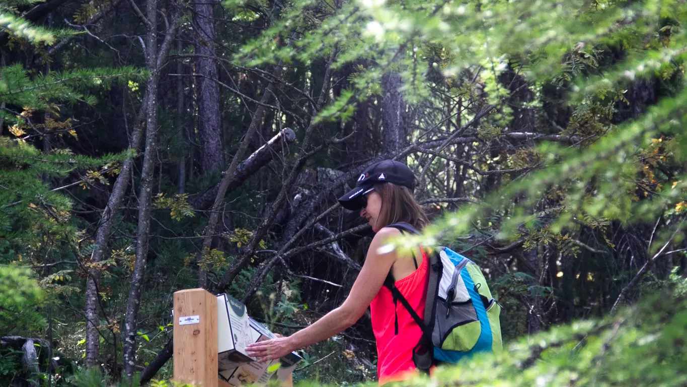
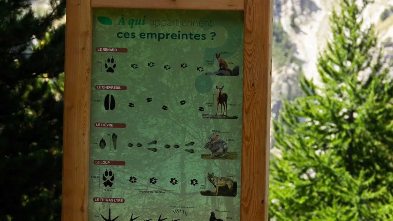
Along the way, you'll learn about the surrounding environment from educational terminals and modules.
To return downhill, continue towards Lac de l'Orceyrette, along a path that leads down to the lake on the right, then along it on the right or left, to return to Plan Peyron (8.5 kilometers and 380 meters ascent).
Alternatively, you can retrace your steps and take the same path as before, bypassing the lake and returning to your starting point (7km and 380 m ascent).
It's also possible to set off from the mountain center and walk to Plan Peyron, but you'll need to add about 500 meters of ascent and descent, and a 4-hour round-trip walk (note that in high season, the frequent passage of cars causes a cloud of dust, so an ascent and descent via the Mélézin will be more pleasant).
Read more