- Voir les favoris
Tête de la Sestrière
Sport, Pedestrian sports, Hiking itinerary
in Uvernet-Fours
11.0
km
4h
Hard
-
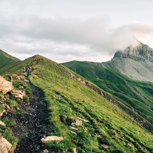
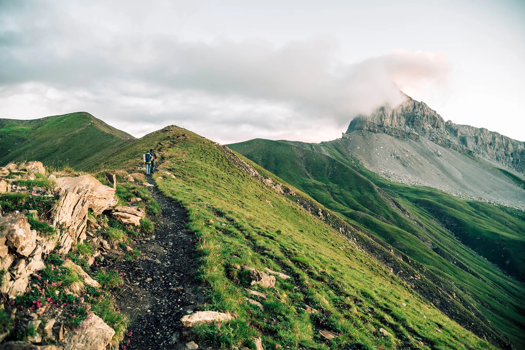
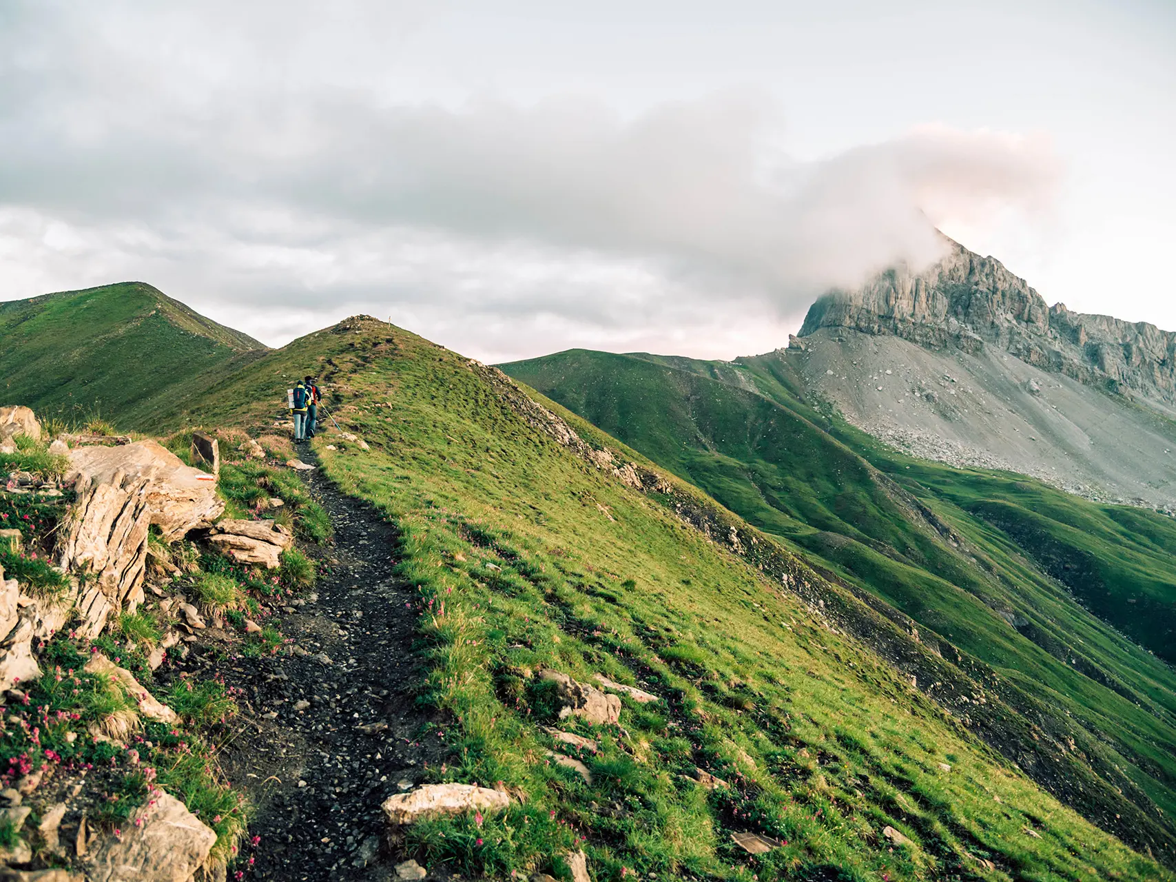
Just for your eyes, this hike is not to be missed. Between Ubaye, Verdon and Laverq, you won't know where to look first in this magnificent 360° panorama.
-
Surrounded by marmots and birds of prey, this route is simply sumptuous, offering beautiful views of the north of the department and its peaks.
Starting from the Col d'Allos, the route follows a ridge trail through alpine surroundings, alternating between ascents and descents until you reach the Tête de la Sestrière. The return journey follows the same route.
- Departure
- Uvernet-Fours
-
-
Difference in height
- 600.302 m
-
-
-
Documentation
- GPX / KML files allow you to export the trail of your hike to your GPS (or other navigation tool)
-
-
-
Accepted customers
-
- See all reviews
- 600 meters of difference in height
-
- Maximum altitude : 2524 m
- Minimum altitude : 2204 m
- Total positive elevation : 600 m
- Total negative elevation : -600 m
- Max positive elevation : 128 m
- Min positive elevation : -128 m
Services
-
-
Services
-
