A trail to discover the methods used to restore mountain terrain: here, the fight against erosion and avalanches.
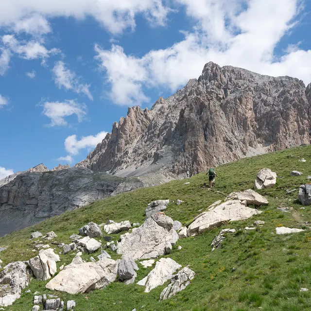
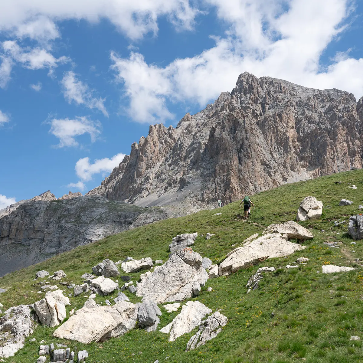
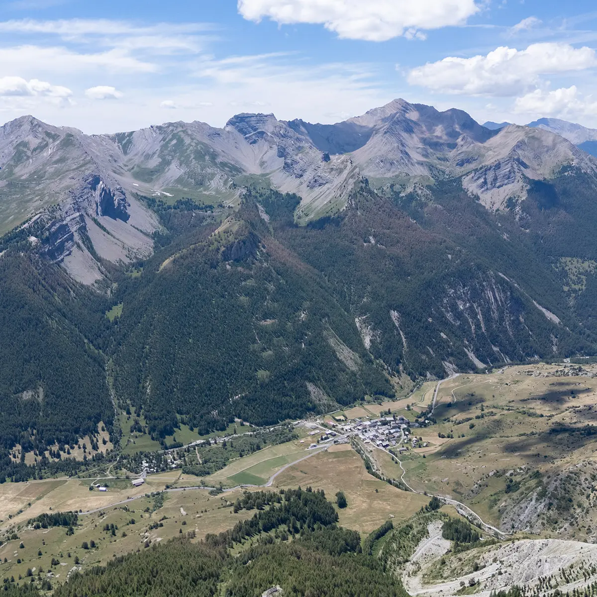
From the village of Larche, the route climbs up the Riou de Rochouse valley to the Montagnette shepherd's hut.
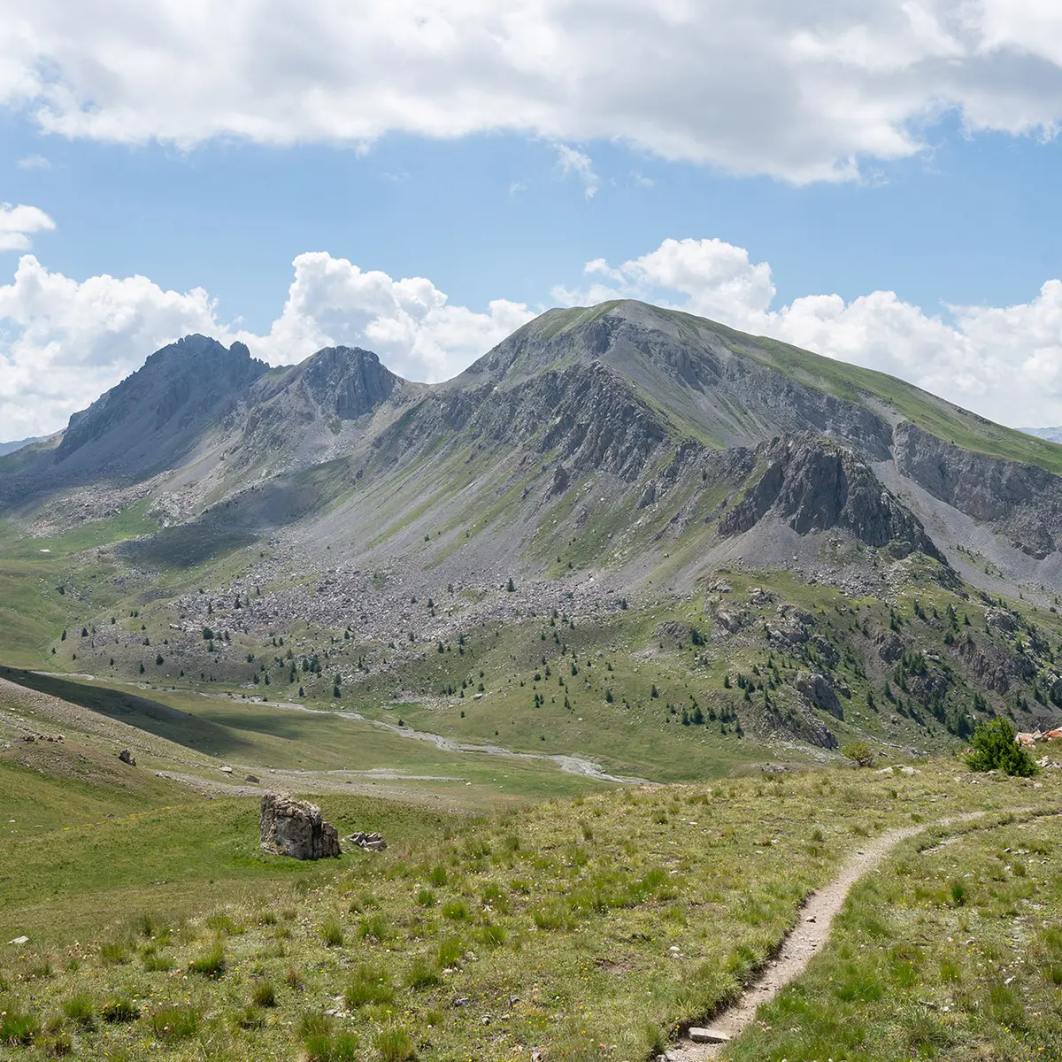
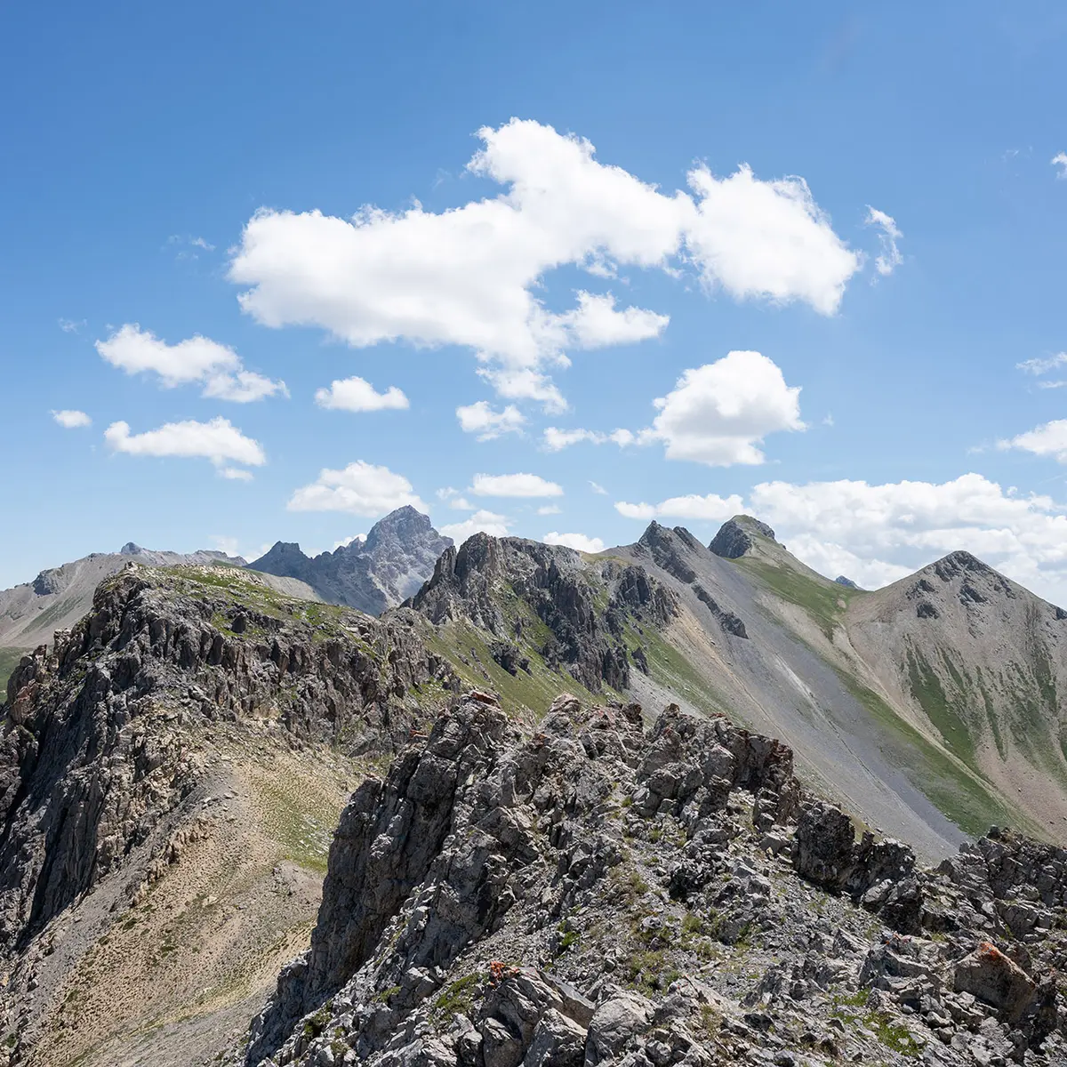
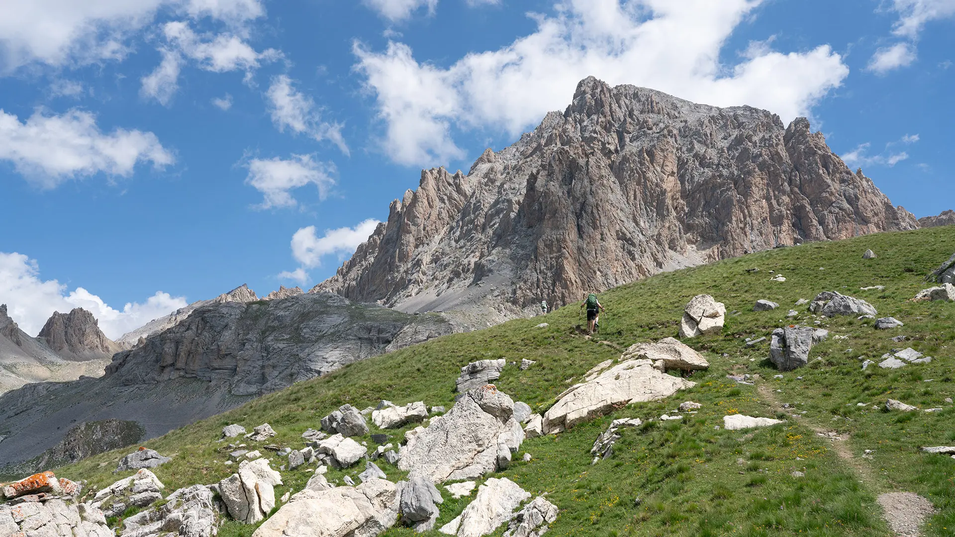
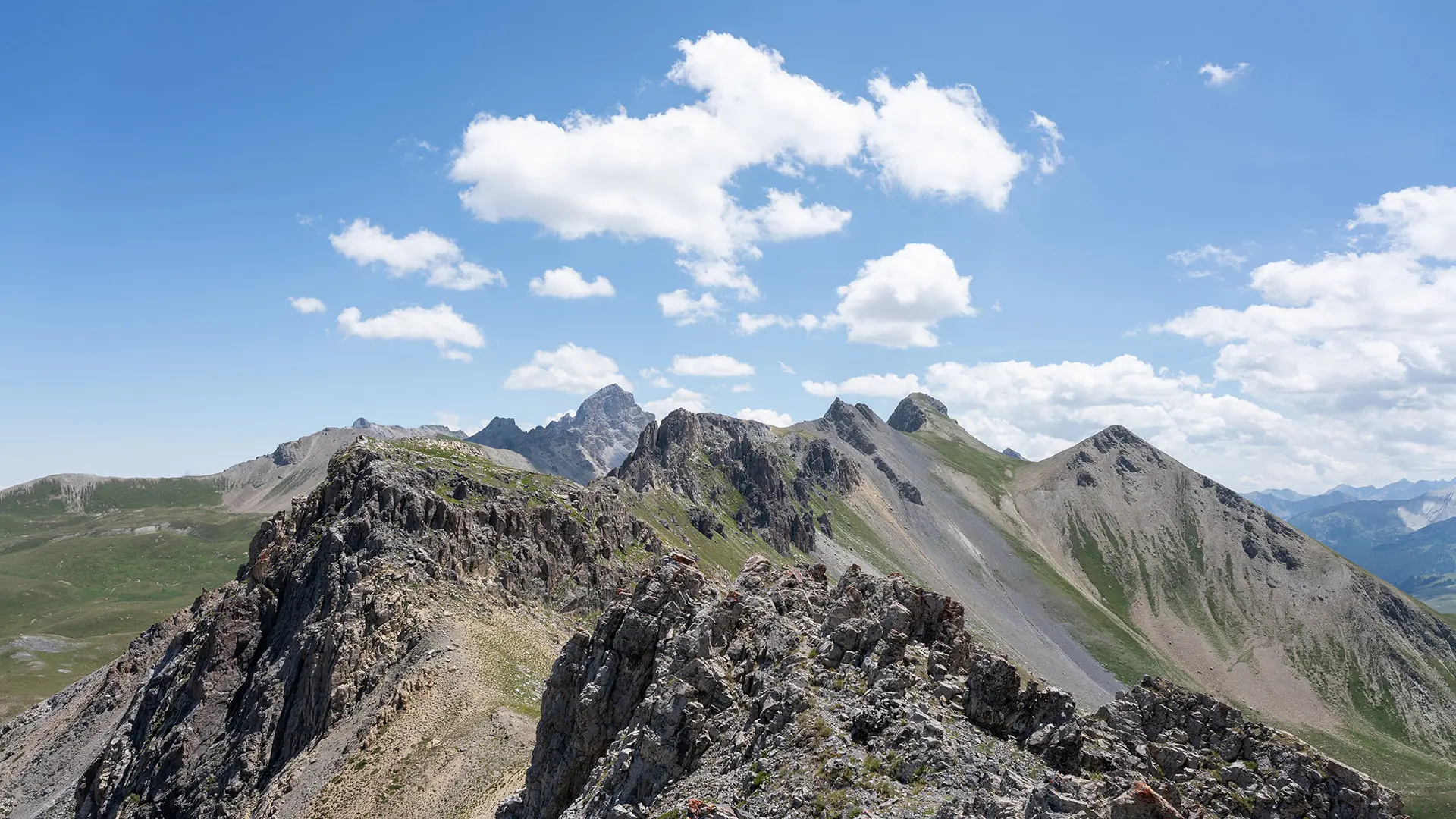
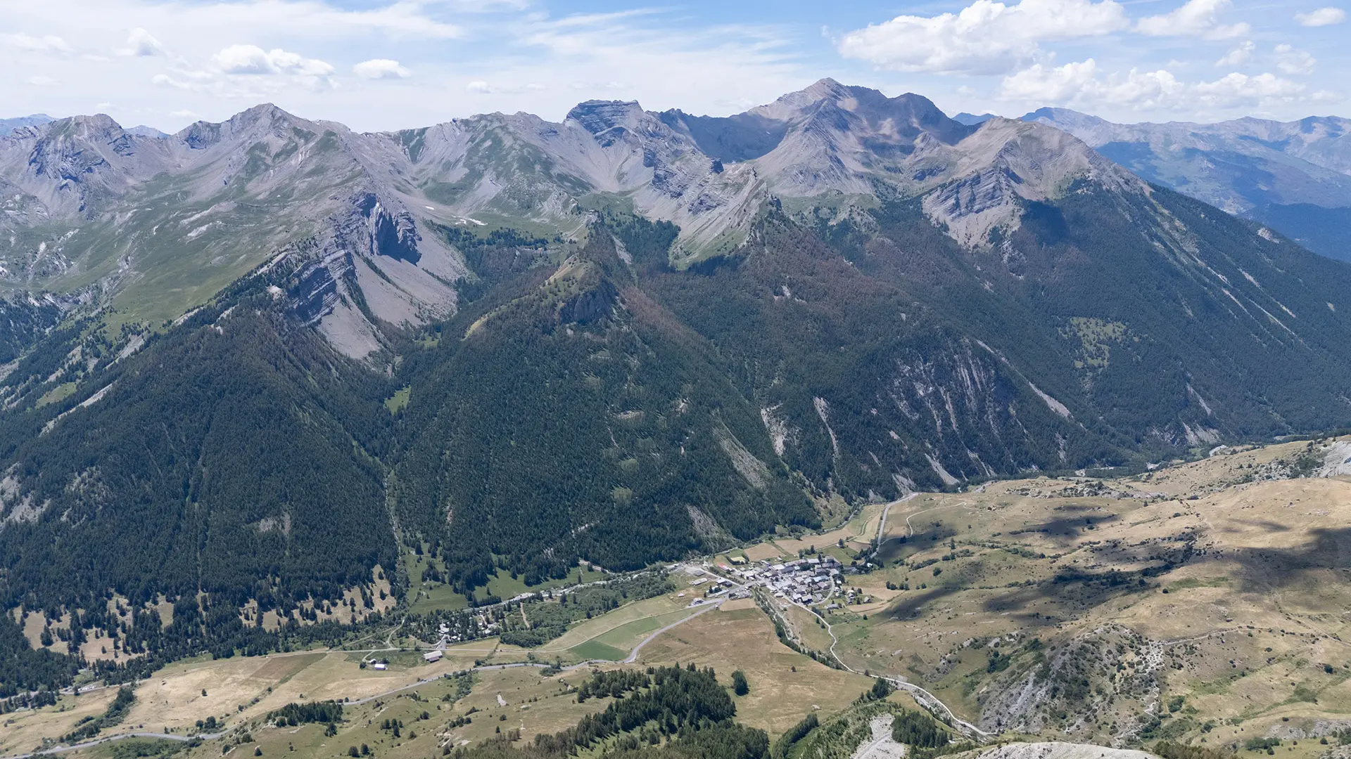
It then climbs to the summit of Tête Dure, which offers exceptional views over the Lauzanier valley.
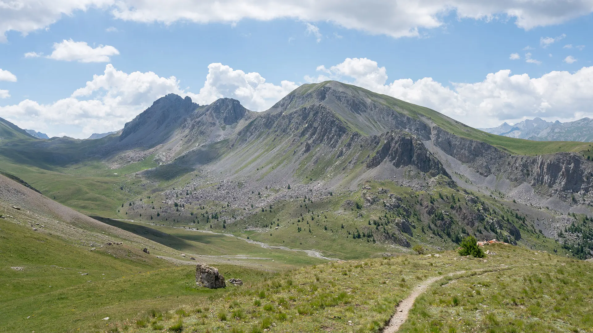
The return to Larche is via the south-facing slope and the Larche national forest.
Read more