Join the main road at the top of Villar d'Arène. Cross it at a small shed (be careful) to find a path that climbs up into a wooded valley, then after a few hairpin bends reach a small road.
Follow the road for 50 m, then take the left-hand track.
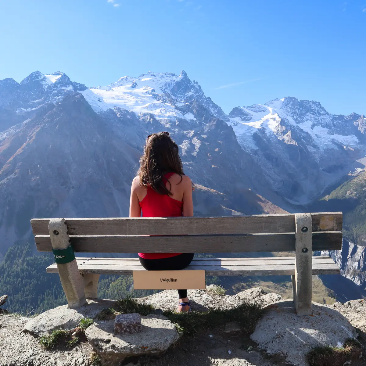
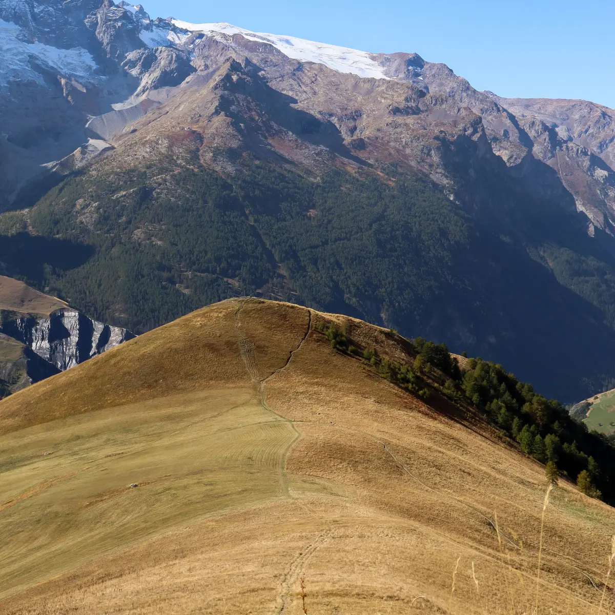
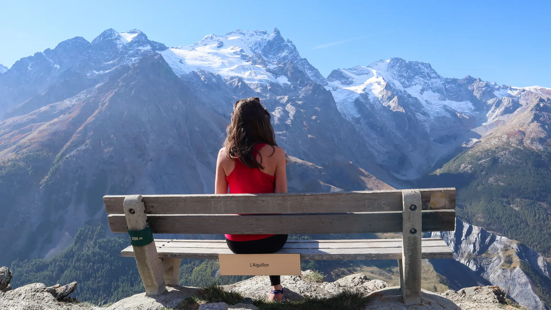
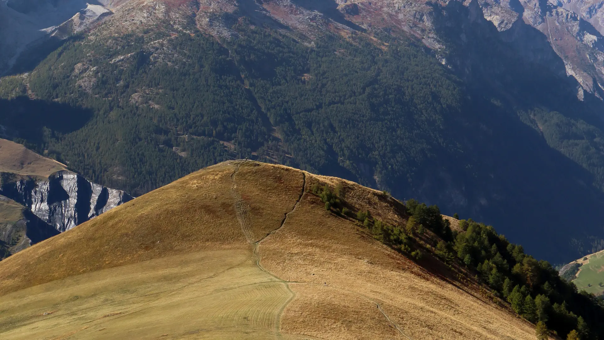
At the next junction, take the right-hand path, then turn left to cross the grassy slope. Reach a crossroads on the ridge (2,058 m). Take the left-hand path to the Aiguillon summit (2095 m, panorama).
Return to the crossroads on the ridge and continue straight ahead for 60 m.
Take the path to the right and follow the balcony before descending to Lac de Pontet.
Go around the lake to the right and down the track to the hamlet of Chazelet. A few metres after the barrier, take the small path to the left, go downhill and find the small road you came on before.
Return to the parking lot by following the upward route.
Read more