Magnificent hike in the heart of a protected reserve: the Partias reserve, a wild place where flora and fauna cohabit in abundance.
Follow the dirt track to the barrier marking the entrance to the Partias Regional Nature Reserve. A descriptive sign explains the regulations in force and the specific features of this reserve.
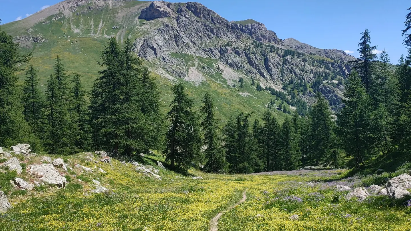
Cross the barrier and continue straight into the heart of the Partias via a wide path for around 600 meters.
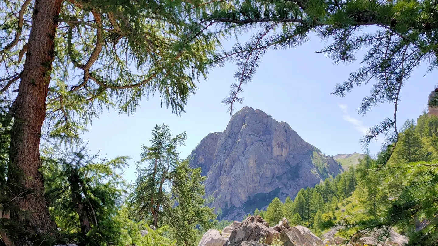
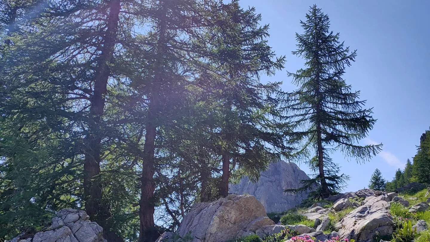
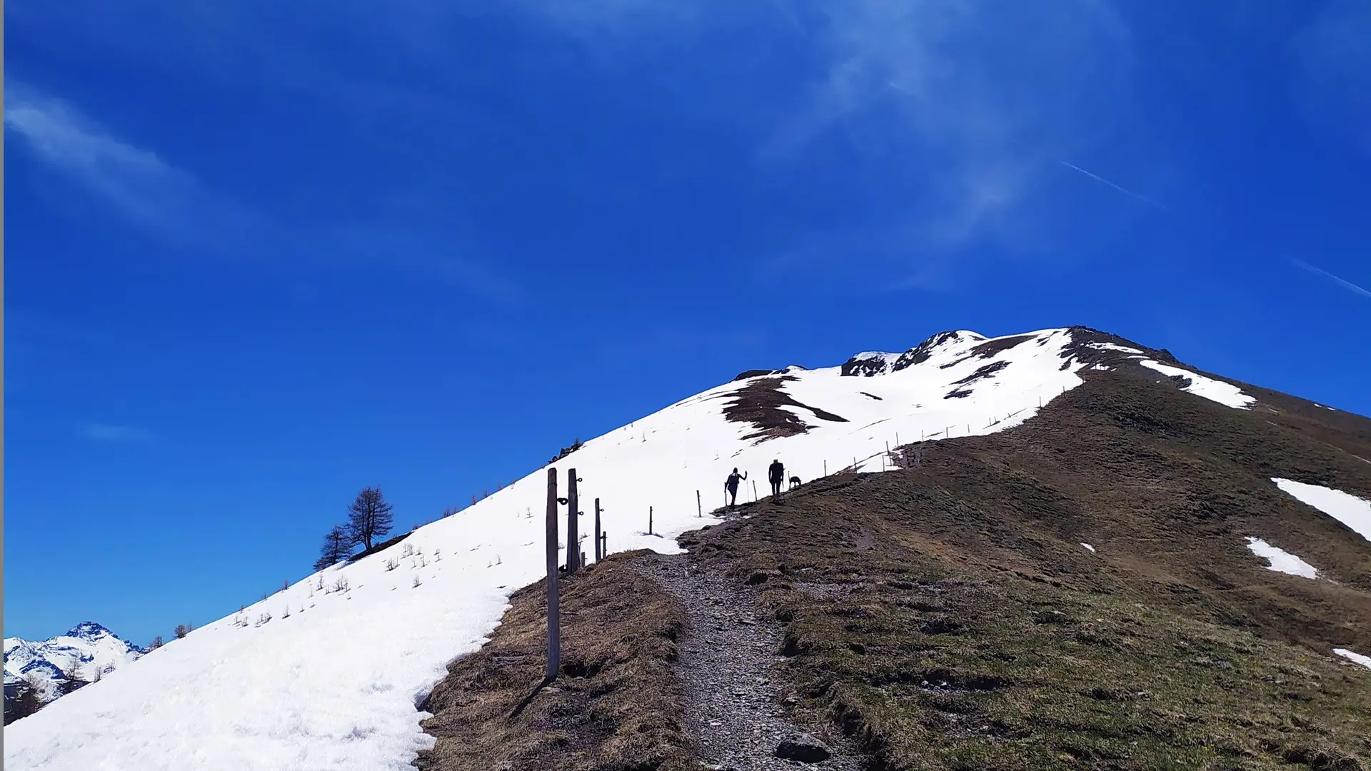
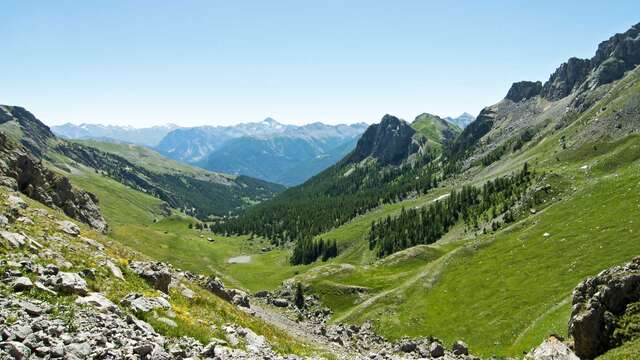
At the fork in the road, take the left-hand path towards Col de la Trancoulette (signposted). The path climbs up through the forest below Rocher Jaune, up a valley and then begins a short, steady climb to the pass.
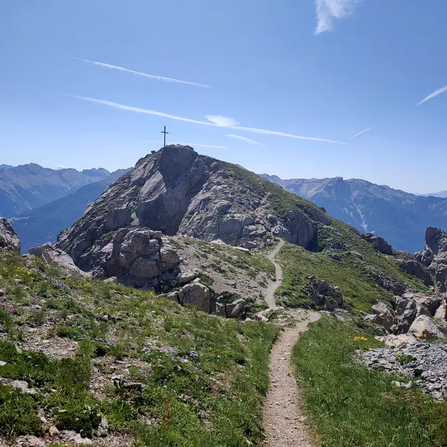
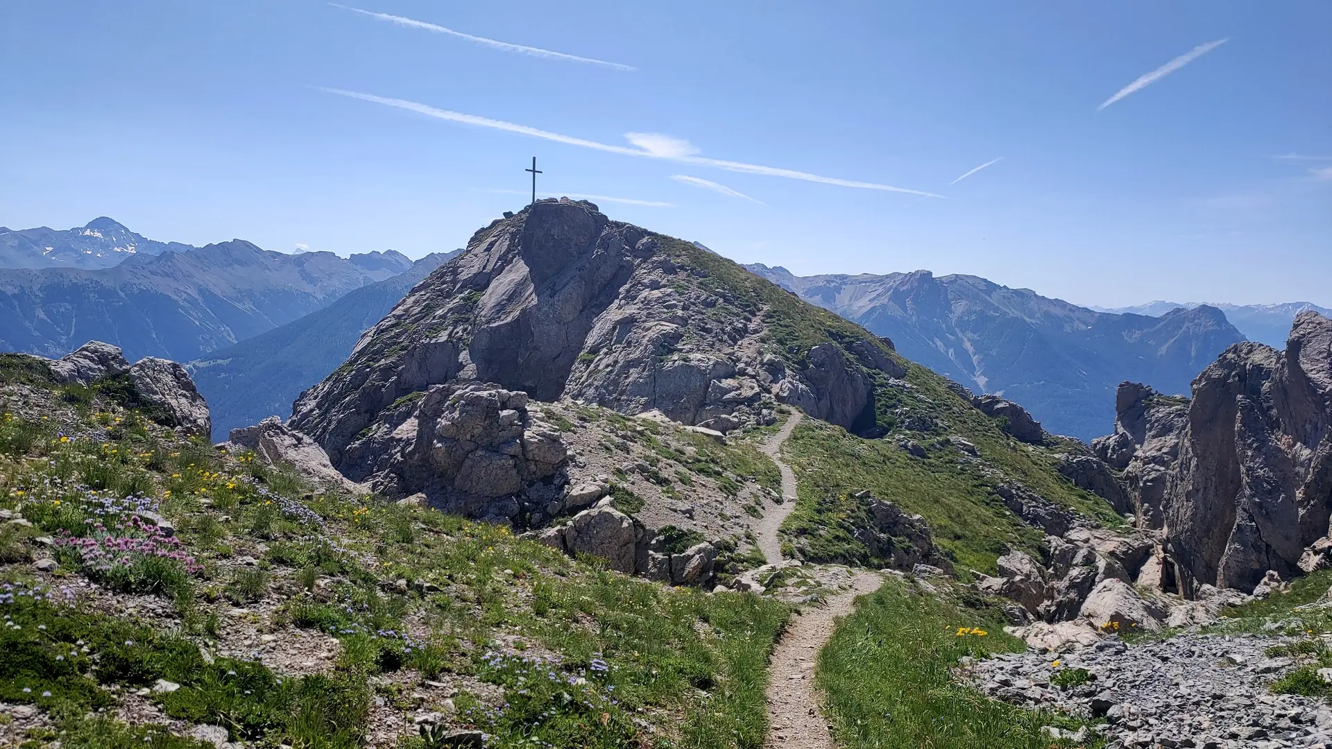
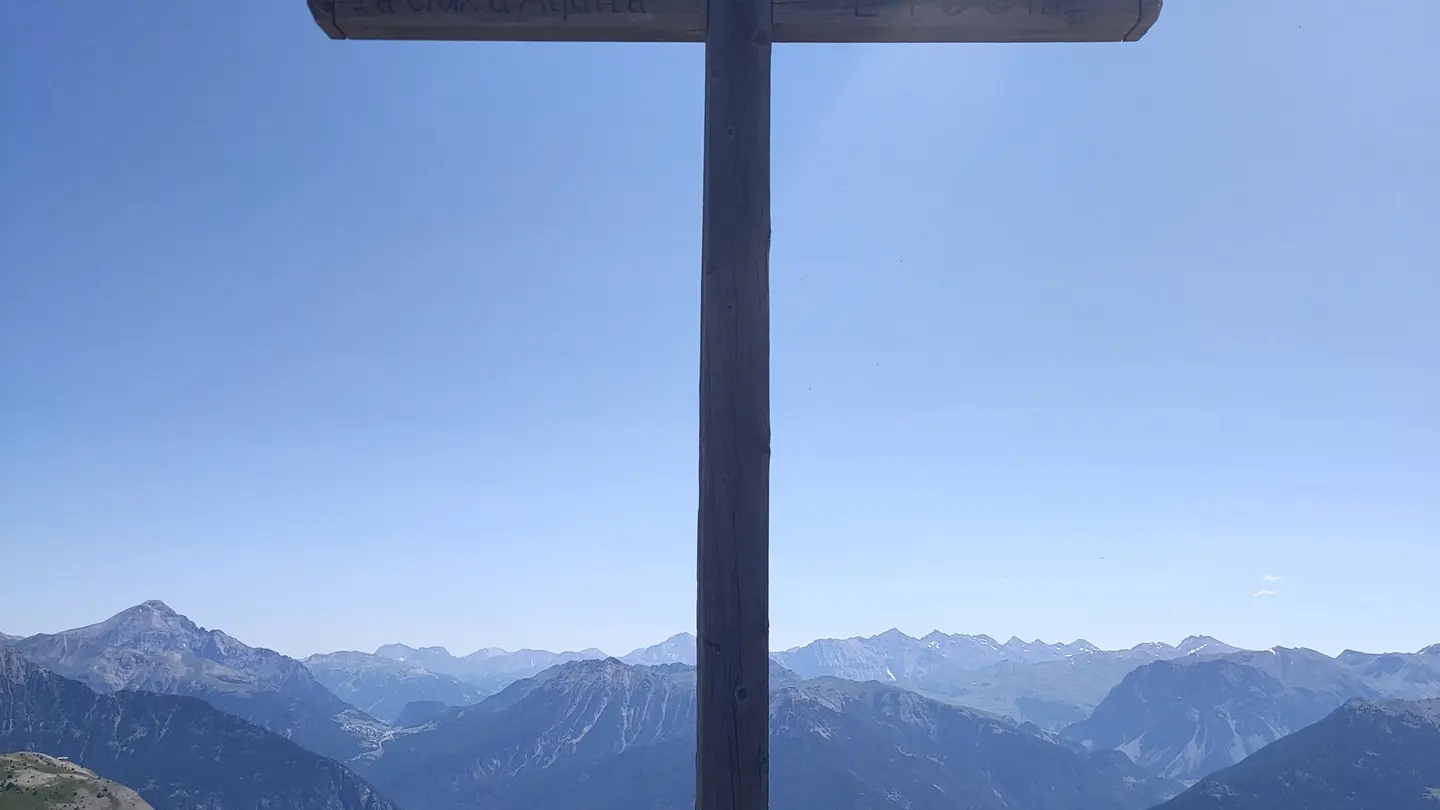
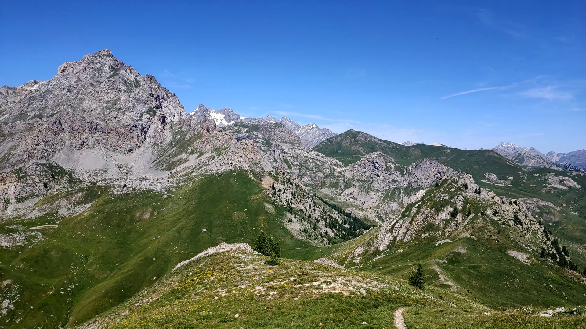
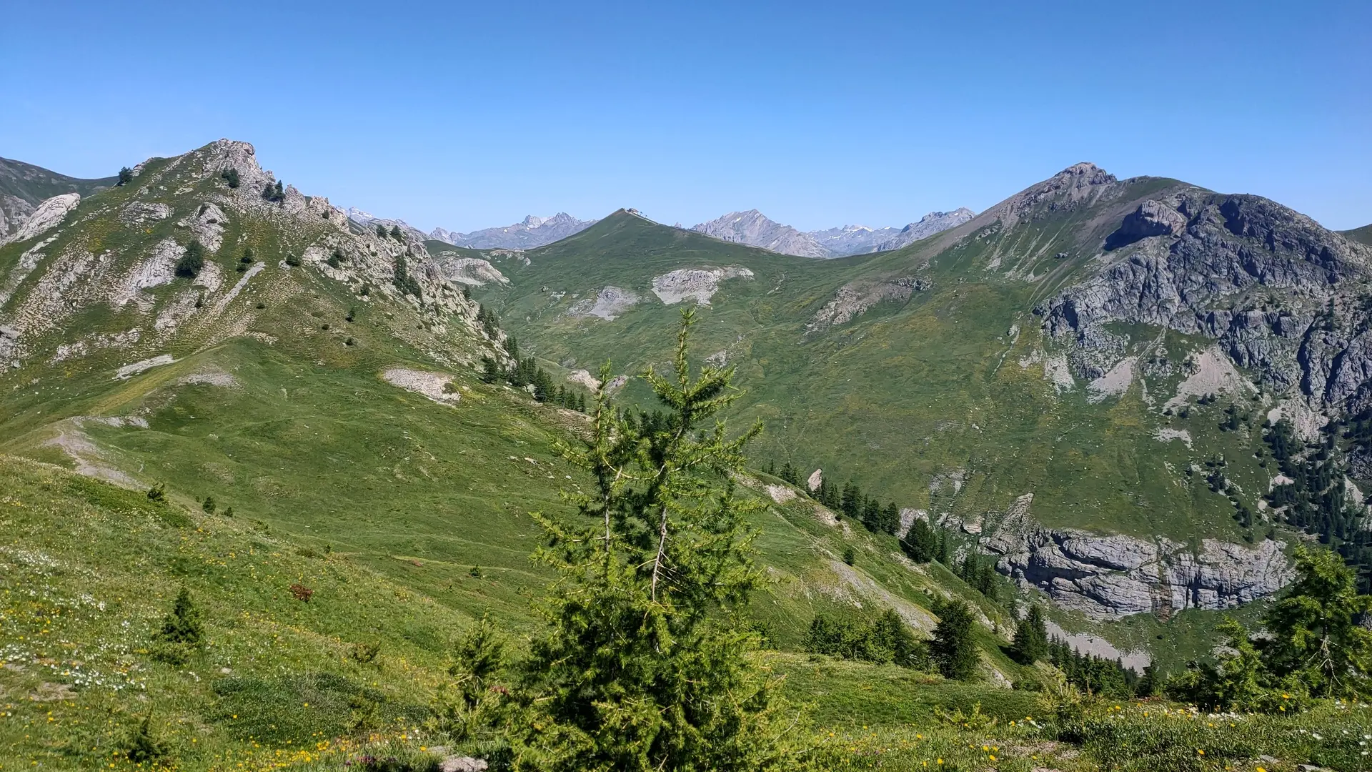
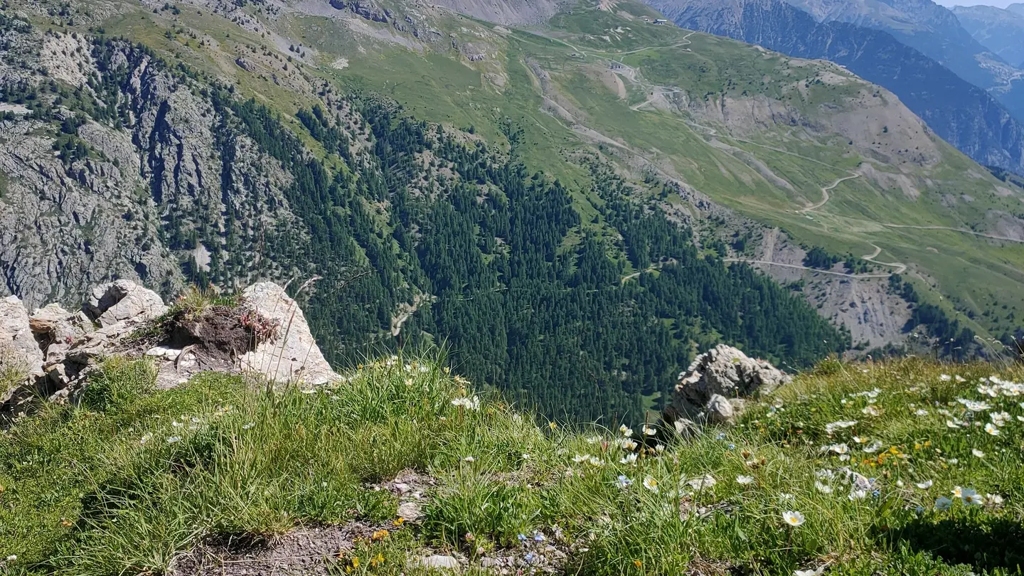
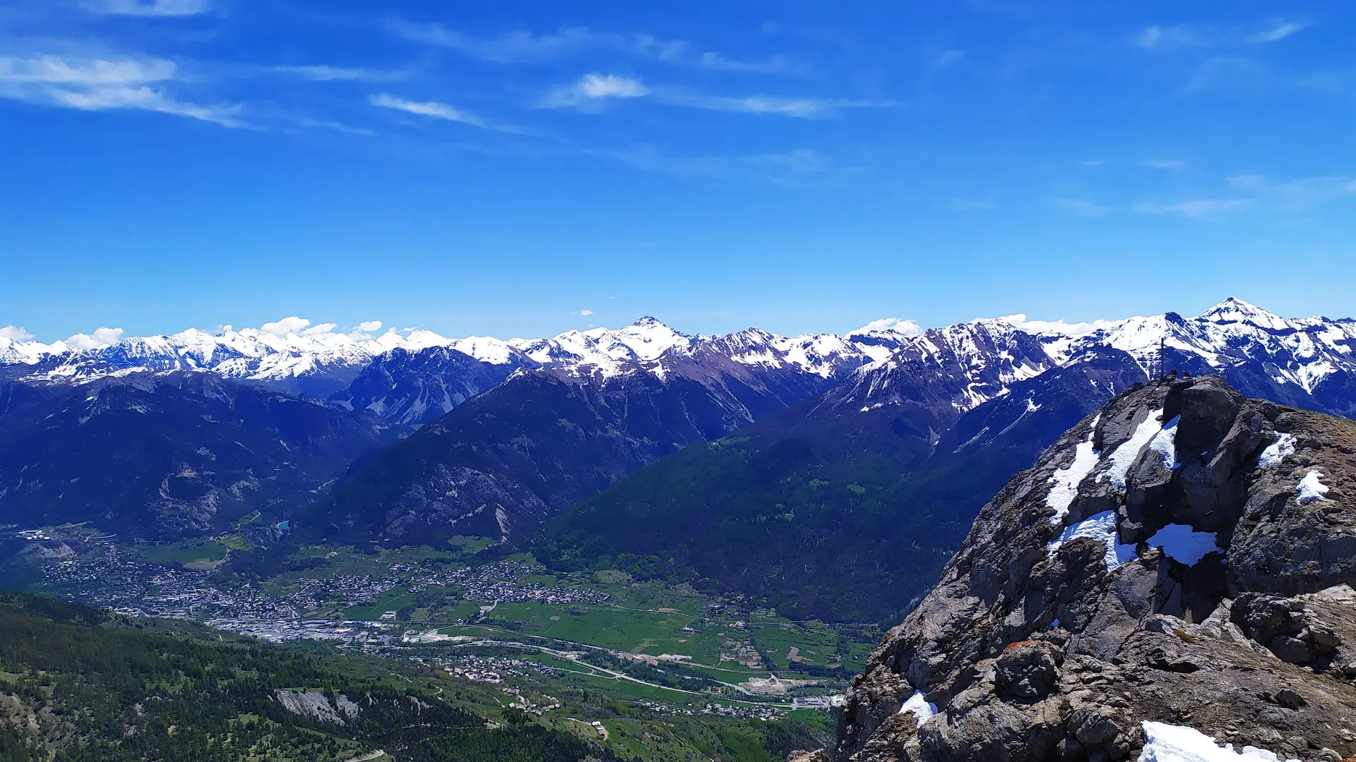
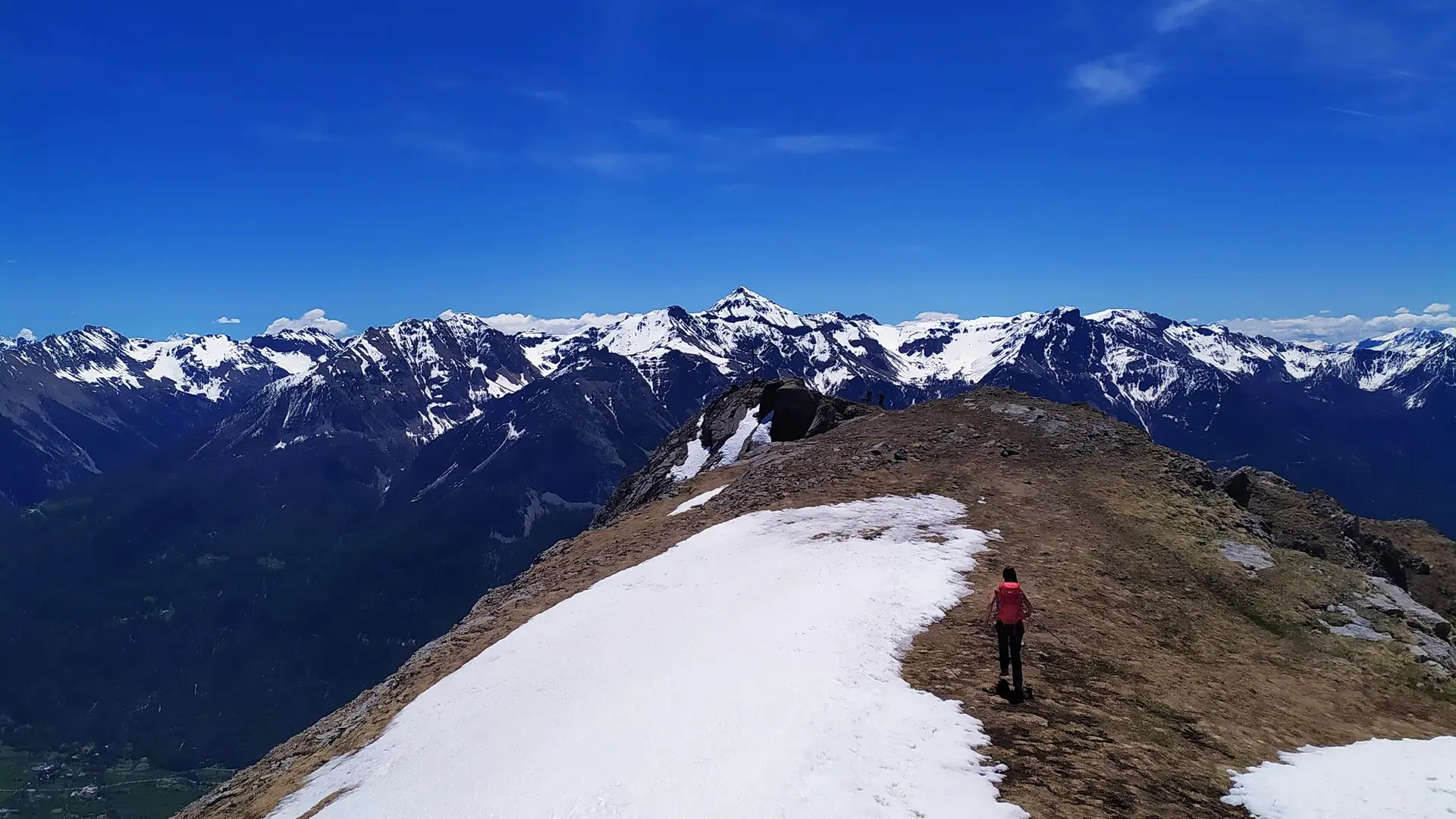
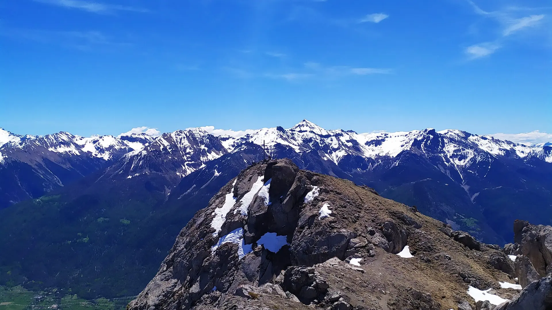
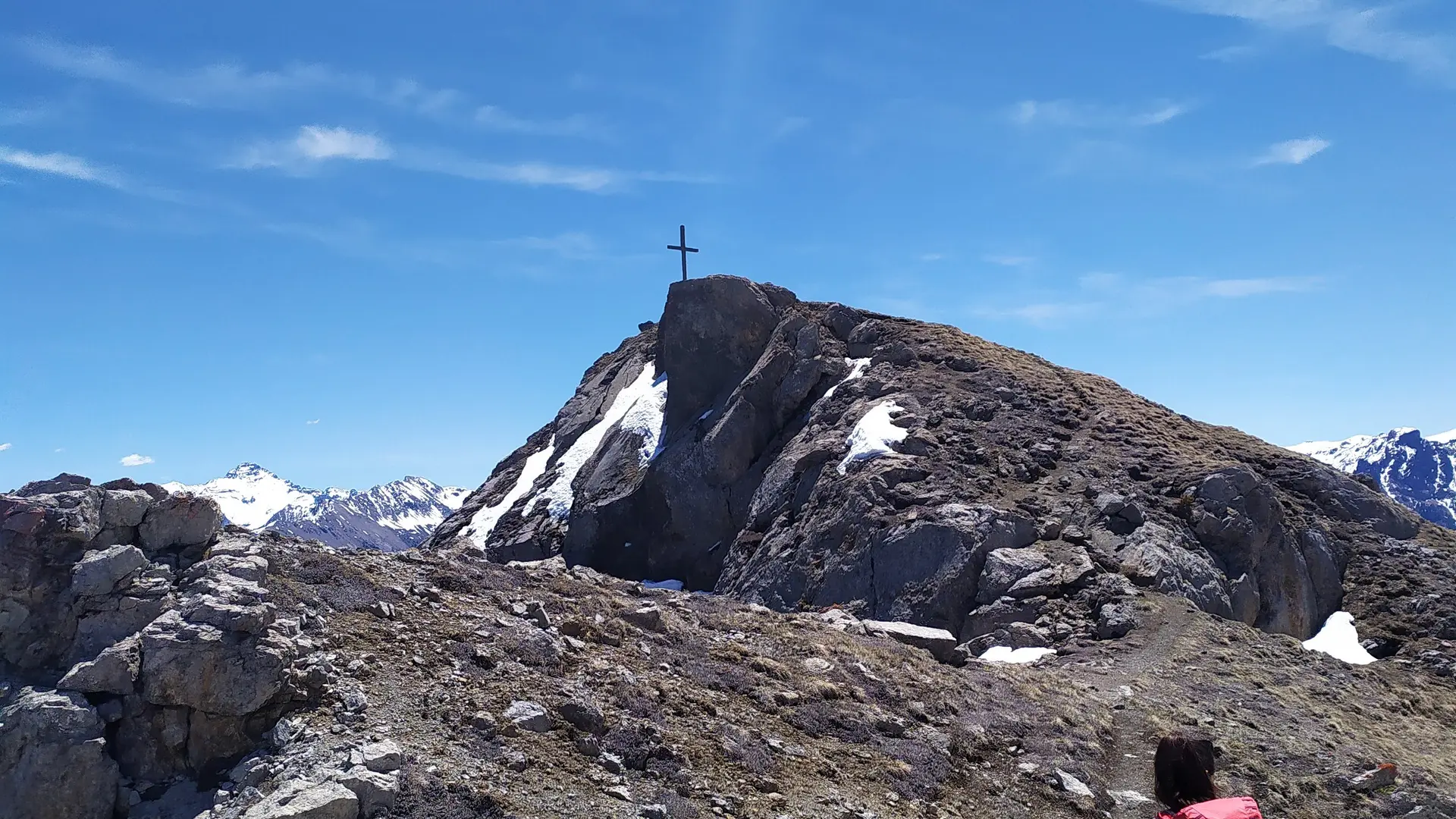
Once at the pass, take the left-hand path; the ridge is visible to the south-west. Signs point the way to the Aquila cross. Follow this path until the final, more aerial section through the rocks to reach the cross. The panorama from this rocky promontory is simply breathtaking.
The return journey takes the same route.
To preserve this space, Reserve staff are responsible for enforcing regulations and advising all users.
Savoir Vivre en Réserve :
- Stay on the trails
- Dogs must be kept on a leash
- Picking plants and flowers prohibited
- Bring your own garbage
- Camping and fires prohibited, bivouacs authorized
- Motorized traffic prohibited
- Respect the tranquillity of the site
To preserve this area, Regional Nature Reserve staff are responsible for enforcing regulations and advising all users.
A visit to the reserve with one of our partner mountain guides is highly recommended: it will give you a better idea of the site's biodiversity.