See photos (2)

The architecture of Puy

Sport, Pedestrian sports, Hiking itinerary in Puy-Saint-Vincent
0.6 km
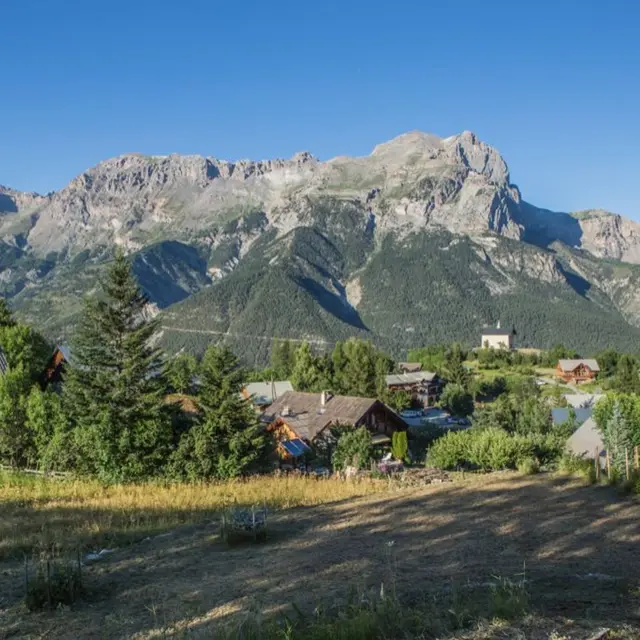
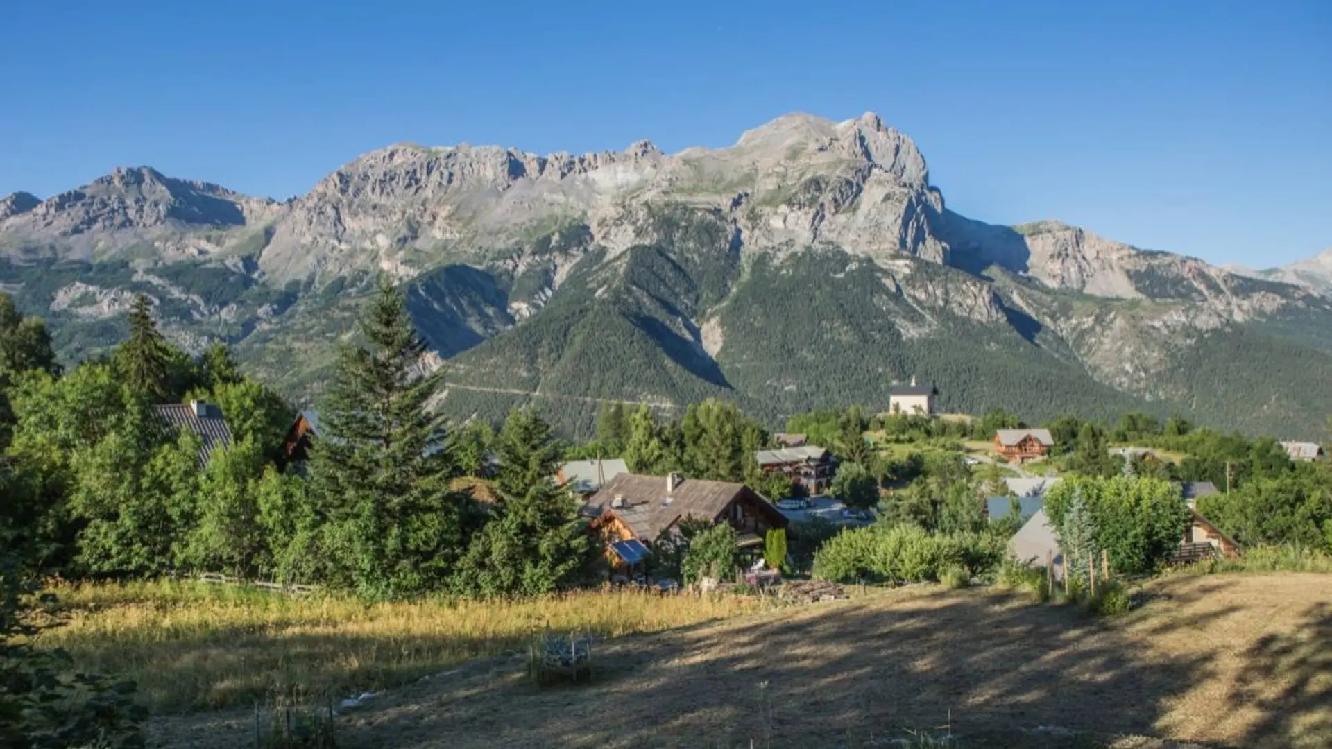
  • The local inhabitants are called the "Traversouirres” because their houses are built in a series of small hamlets perched on the slope and the streets on the side of the "puy” (mountain). Here people say you "traverse" (“cross”) to go from one hamlet to t

  • The trail begins on the Puy-Saint-Vincent church forecourt. With your back to the church, follow the road on the right as far as the intersection.

    Then turn right and follow the road to the next crossroads.
    Turn right into the road leading to the starting point in front of the church.

    Very easy
  • Departure
    Puy-Saint-Vincent
  • Difference in height
    12.3333 m
  • Departure : Puy-Saint-Vincent.
    Road access : From Embrun, take the N94 towards Briançon. In L'Argentière-la-Bessée, turn right onto the D994E, then right again onto the D4 towards Puy-Saint-Vincent..
    Parking recommended : Car park in Puy-Saint-Vincent .
    Public transport : Shuttle service from Briançon to Puy-Saint-Vincent (reserve 36 hours ahead of time on 04 92 502 505). .
  • Documentation
    GPX / KML files allow you to export the trail of your hike to your GPS (or other navigation tool)
12 meters of difference in height
  • Maximum altitude : 1414 m
  • Minimum altitude : 1391 m
  • Total positive elevation : 12 m
  • Total negative elevation : -13 m
  • Max positive elevation : 12 m