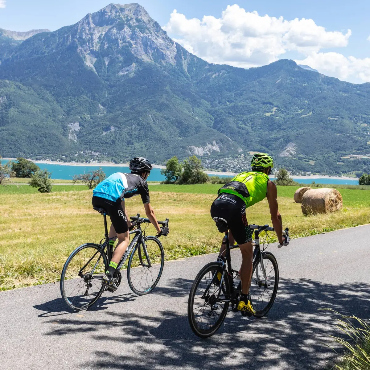
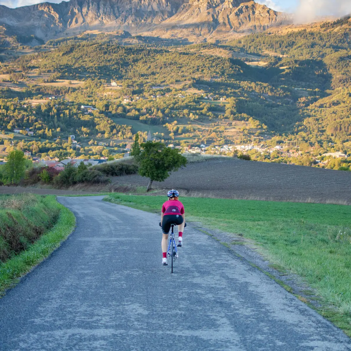
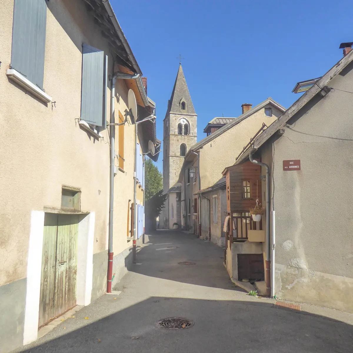
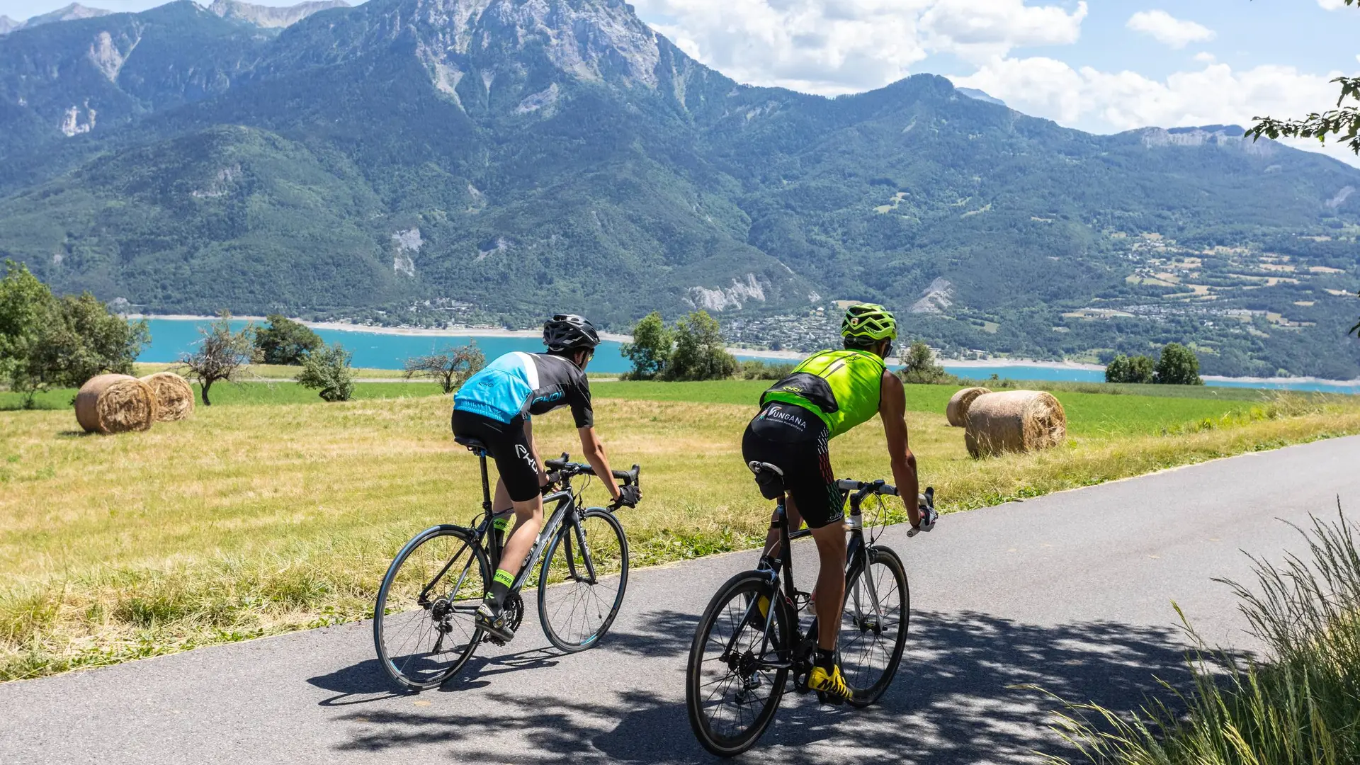
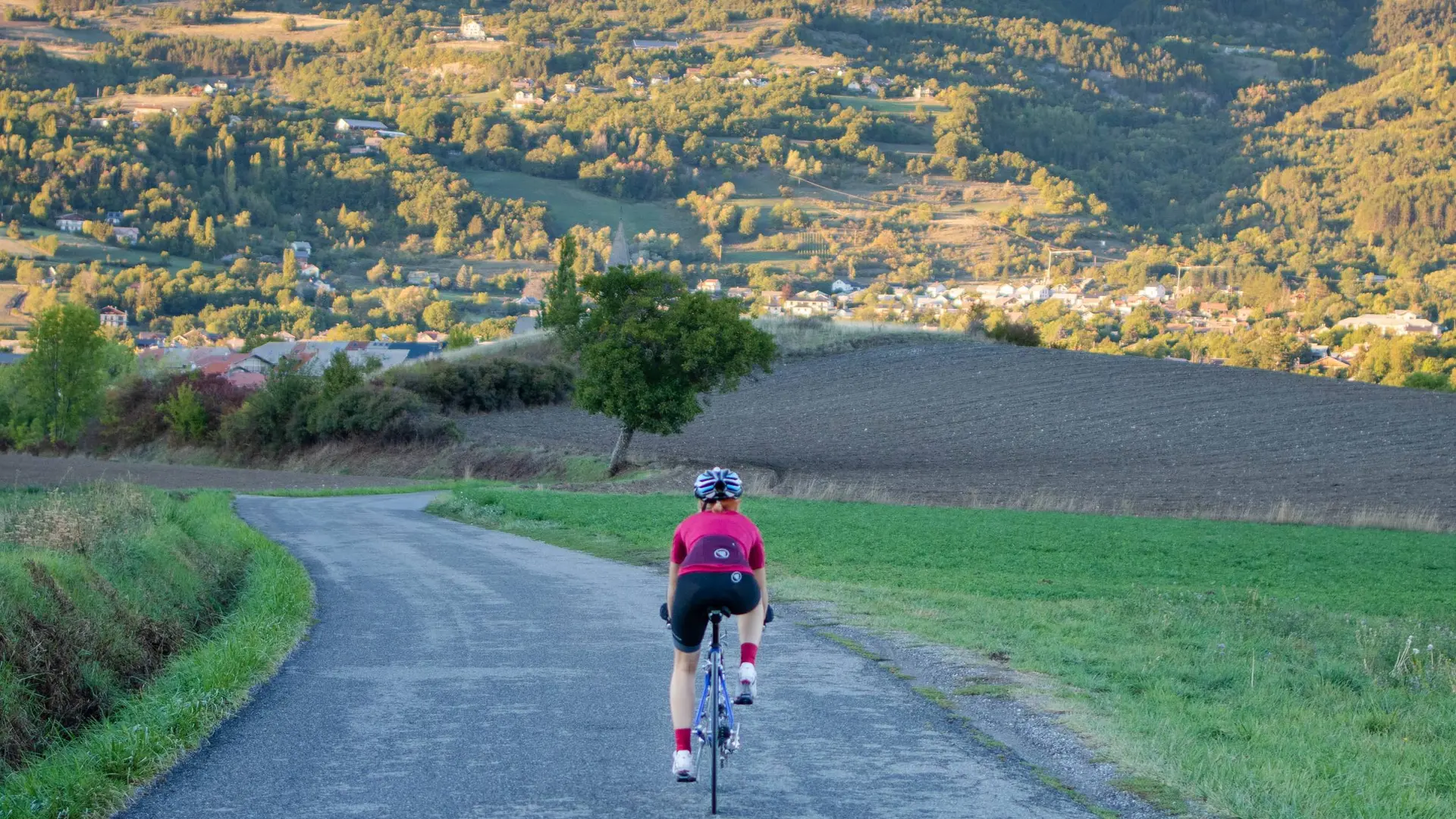
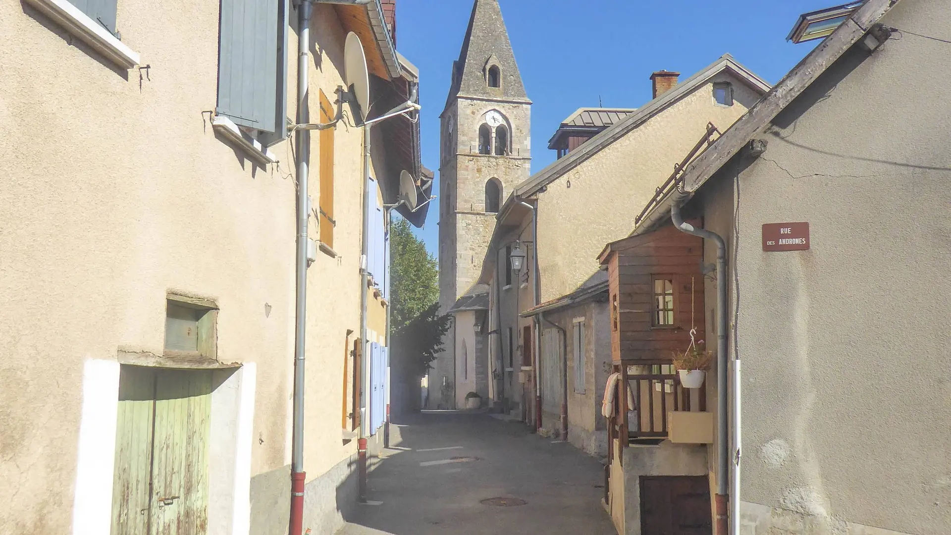
- Voir les favoris
See photos (3)
The balconies of Chorges
Sport, Cycling sports, Cycle tourism route
in Chorges
32.4
km
-
Chorges as you've never seen it before! A complete tour to discover every aspect of this village.
-
From Chorges, take the D614 and ascend towards the hamlet of Les Carles. Continue straight ahead until you come to a crossroads, then turn left onto the "Route des Borels". Descend to the village of La Bâtie-Neuve, skirt the police station and follow the "Route du Laus". Carefully cross the railway line, then the N94, and continue on the D11.
At the junction with the D942, turn left towards Briançon for 500 m then turn right towards Fontclaire.
This little road rises quickly and the view...From Chorges, take the D614 and ascend towards the hamlet of Les Carles. Continue straight ahead until you come to a crossroads, then turn left onto the "Route des Borels". Descend to the village of La Bâtie-Neuve, skirt the police station and follow the "Route du Laus". Carefully cross the railway line, then the N94, and continue on the D11.
At the junction with the D942, turn left towards Briançon for 500 m then turn right towards Fontclaire.
This little road rises quickly and the view becomes more and more impressive over the Avance plain. The landscape narrows as you approach the mountain. Head past the hamlet of Les Massots and its agricultural plains while staying on the main road. Continue over a small plateau, with a clear view of the terrain. At the next crossroads, turn left and continue towards the village of Les Olliviers.
Continue the route down a gentle slope then cross a railway line and continue to the junction with the D3. Then pass under the N94 towards Réallon.
Now an ascent begins, taking the D9 and still heading towards Réallon. Carry on for 2 km until you spot the directional signs at a Recycling Point. Then take a left fork and climb up to the hamlet of Le Bourget, taking in the views over the valley.
Take the ensuing descent very carefully, to avoid getting carried away by the speed. This will take you to the centre of Chorges and back to the starting point.
Easy
- Departure
- Chorges
-
-
Difference in height
- 834.667 m
-
-
-
Departure : Station car park, Chorges.
Arrival : Station car park, Chorges.
Road access : Follow the N94 from Gap or Embrun to Chorges, staying on the main road until you reach the car park at Chorges station..
Parking recommended : Station car park, Chorges. .
Public transport : From Gap :
Zou! Network : Line 69 / Frequency : Every 4 hours
Route 530 / Frequency 2 times daily
From Embrun :
Zou! network : Line 69 / Frequency : Every 4 hours
More information: https://zou.maregionsud.fr
SNCF : TER
More info: https://www.sncf-connect.com .
- See all reviews
- 835 meters of difference in height
-
- Maximum altitude : 1204 m
- Minimum altitude : 777 m
- Total positive elevation : 835 m
- Total negative elevation : -835 m
- Max positive elevation : 348 m
- Min positive elevation : -169 m
