- Voir les favoris
See photos (3)
The balconies of Saint-André d'Embrun
Sport, Cycling sports, Cycle tourism route
in Saint-André-d'Embrun
28.7
km
-
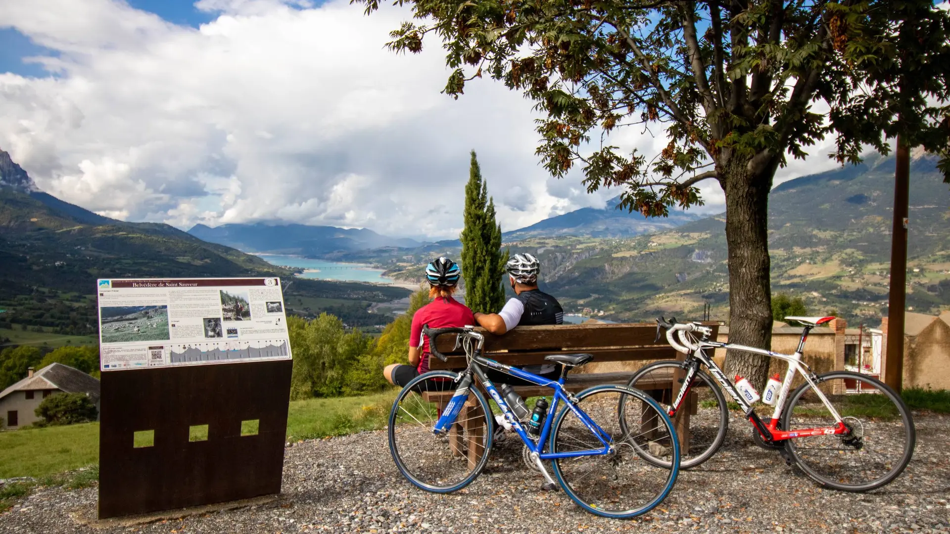
A gentle loop! The peaceful banks of the Durance give way to a more undulating landscape with views of the Embrunais mountains and the turquoise waters of the lake.
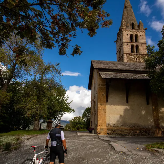
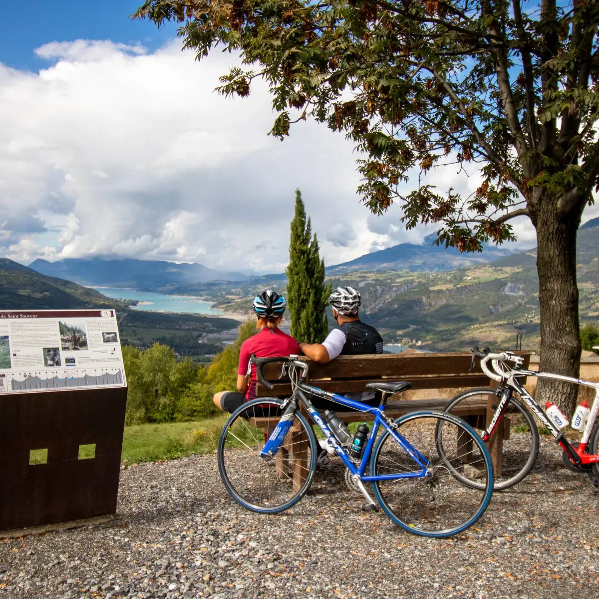
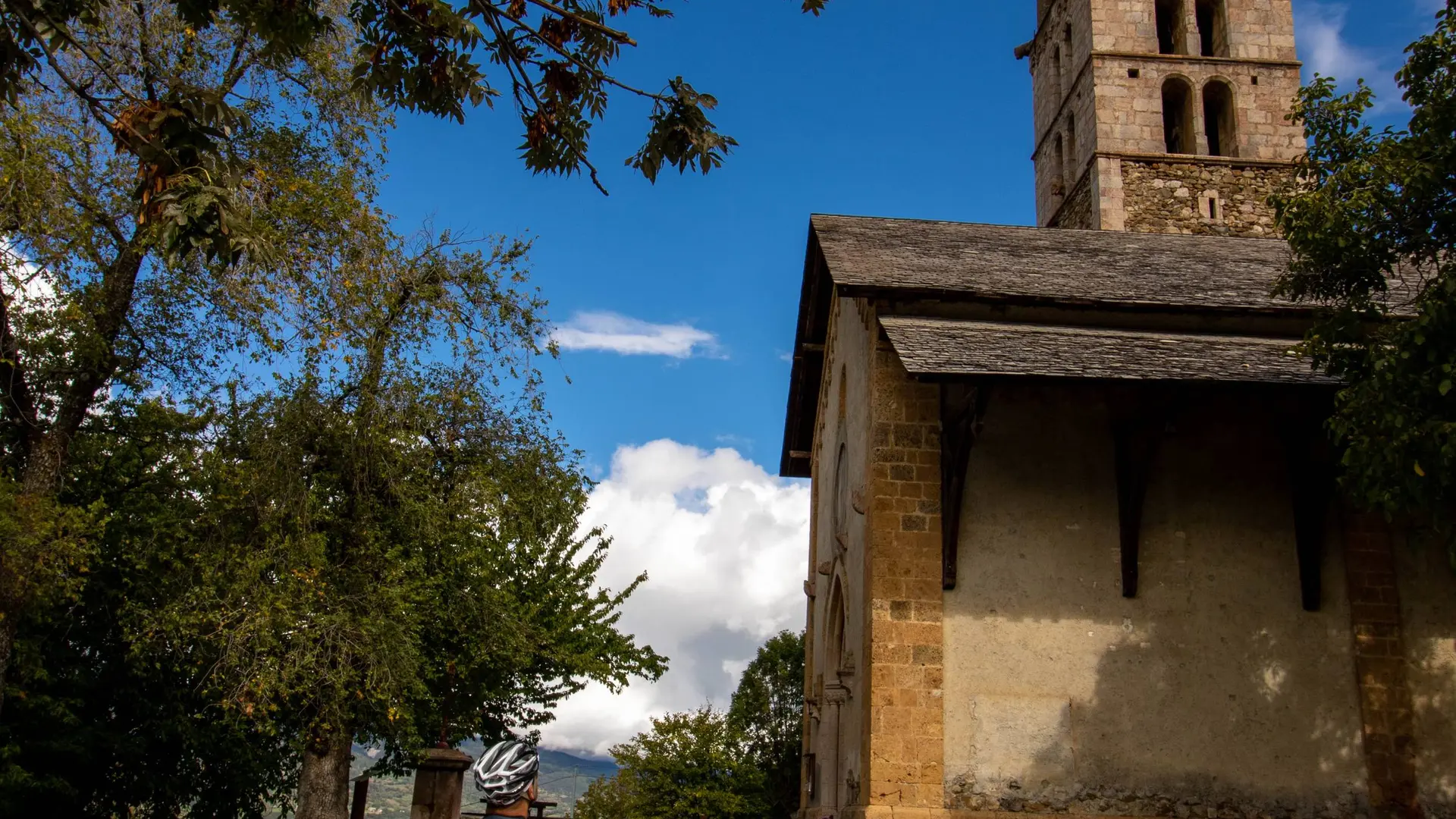
-
From the church, take the road downhill to join the D994d. Then turn left towards Embrun. Drive for 4 km and, at the STOP sign, turn right and cross the Durance on a metal bridge (wooden floor) towards Embrun. Quickly, turn left and follow the route de la Digue, which is closed to vehicles.
The road runs alongside the river and provides a view of Embrun's citadel. Reach a footbridge and cross back over the Durance. Follow the cycle path towards Baratier (short section under the N94) and head...From the church, take the road downhill to join the D994d. Then turn left towards Embrun. Drive for 4 km and, at the STOP sign, turn right and cross the Durance on a metal bridge (wooden floor) towards Embrun. Quickly, turn left and follow the route de la Digue, which is closed to vehicles.
The road runs alongside the river and provides a view of Embrun's citadel. Reach a footbridge and cross back over the Durance. Follow the cycle path towards Baratier (short section under the N94) and head towards a roundabout.
Take the third exit towards Les Orres (D40) and climb for 4km before reaching a fork. Now turn left onto the D39a towards Saint-Sauveur. You'll be rewarded with some beautiful views of the lake as you pedal along. Once in Saint-Sauveur, make a short stop to admire the breathtaking panorama.
Continue on this balcony road for 4 km, joining the D39 at a hairpin bend. Turn left towards Saint-André-d'Embrun to return to the starting point.
Easy
- Departure
- Saint-André-d'Embrun
-
-
Difference in height
- 601.225 m
-
-
-
Departure : Saint-André-d'Embrun.
Arrival : Saint-André-d'Embrun.
Road access : Follow the N94 from Gap or Guillestre towards Embrun, then St-André-d'Embrun..
Parking recommended : Parking de l'Église, Saint-André-d'Embrun .
Public transport : From Gap or Embrun:
Zou! Network : Line 69 / Frequency : Every 4 hours
More information: https://zou.maregionsud.fr .
- See all reviews
- 601 meters of difference in height
-
- Maximum altitude : 1229 m
- Minimum altitude : 788 m
- Total positive elevation : 601 m
- Total negative elevation : -788 m
- Max positive elevation : 223 m
- Min positive elevation : -145 m
