See photos (3)

The balconies of Saint-Marcellin

Sport, Cycling sports, Cycle tourism route in Châteauroux-les-Alpes
10.6 km
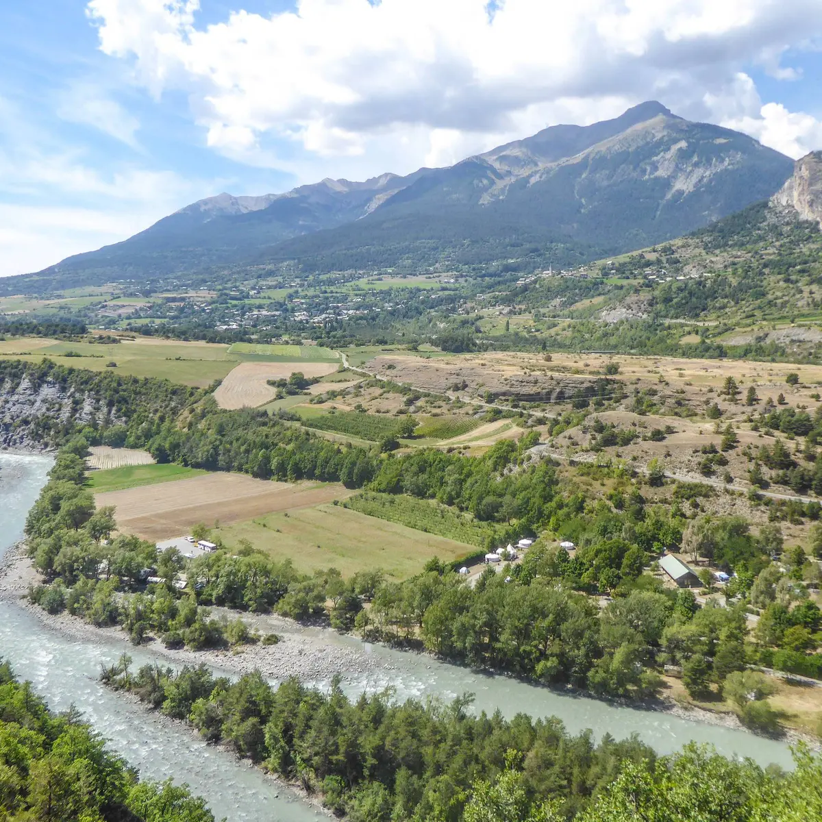
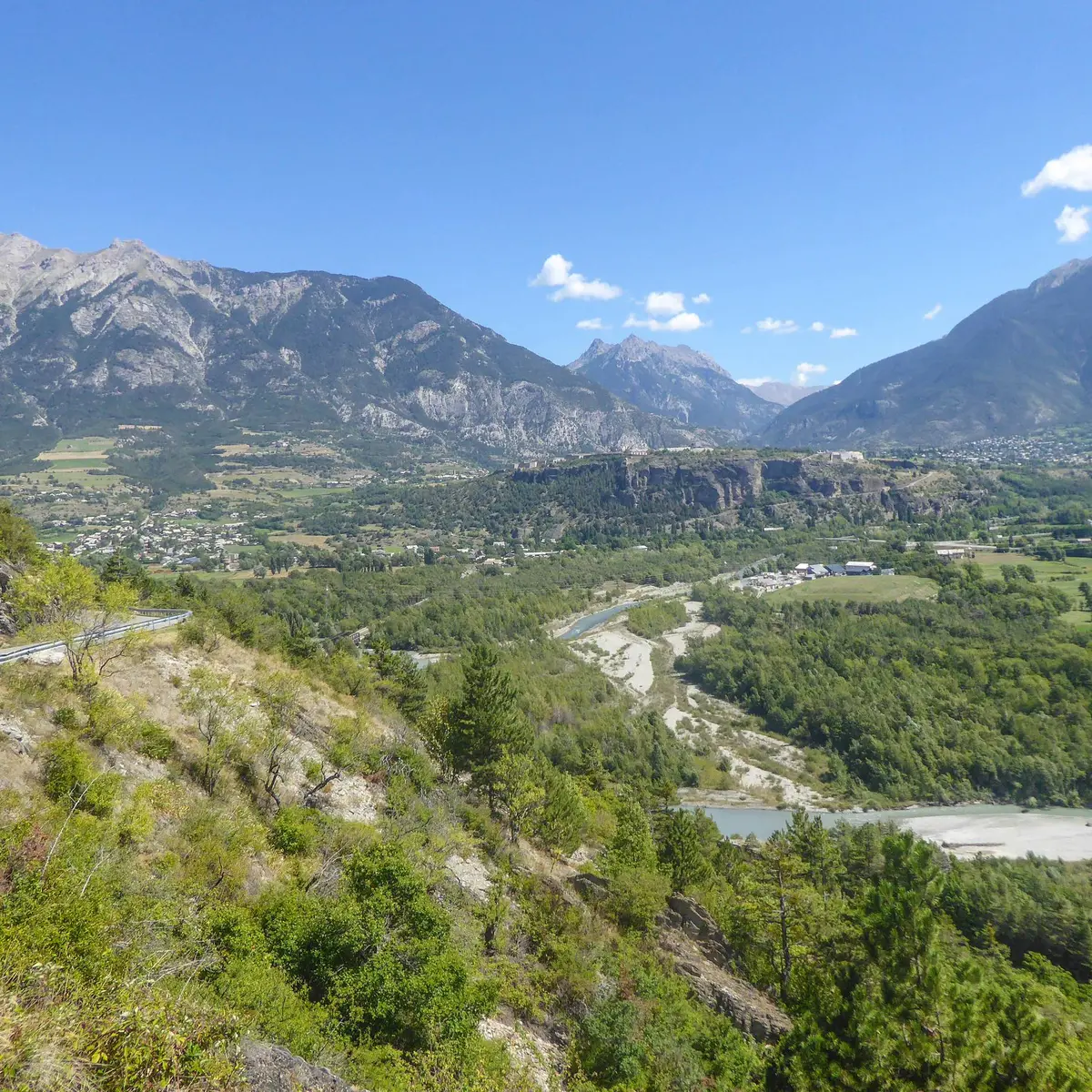
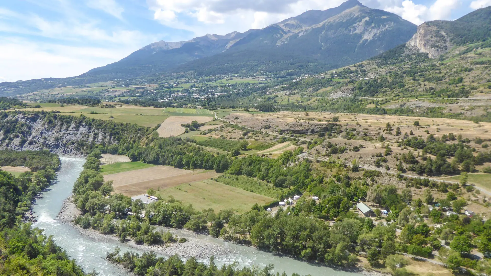
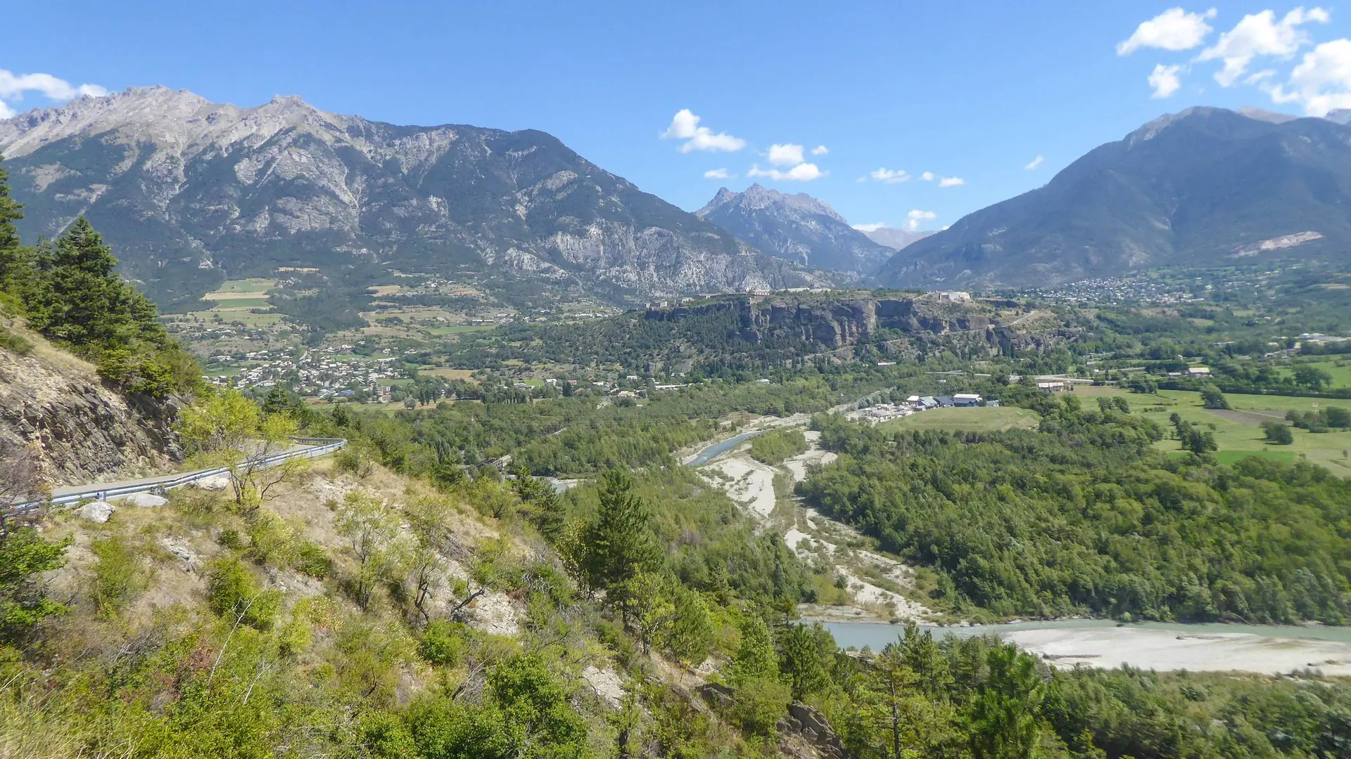
  • This itinerary takes you on a journey of discovery through scattered hamlets on the mountainside and beautiful Romanesque churches, while enjoying a panoramic view over the Durance valley!
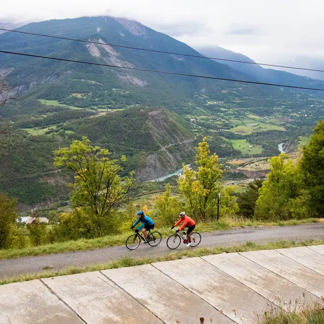
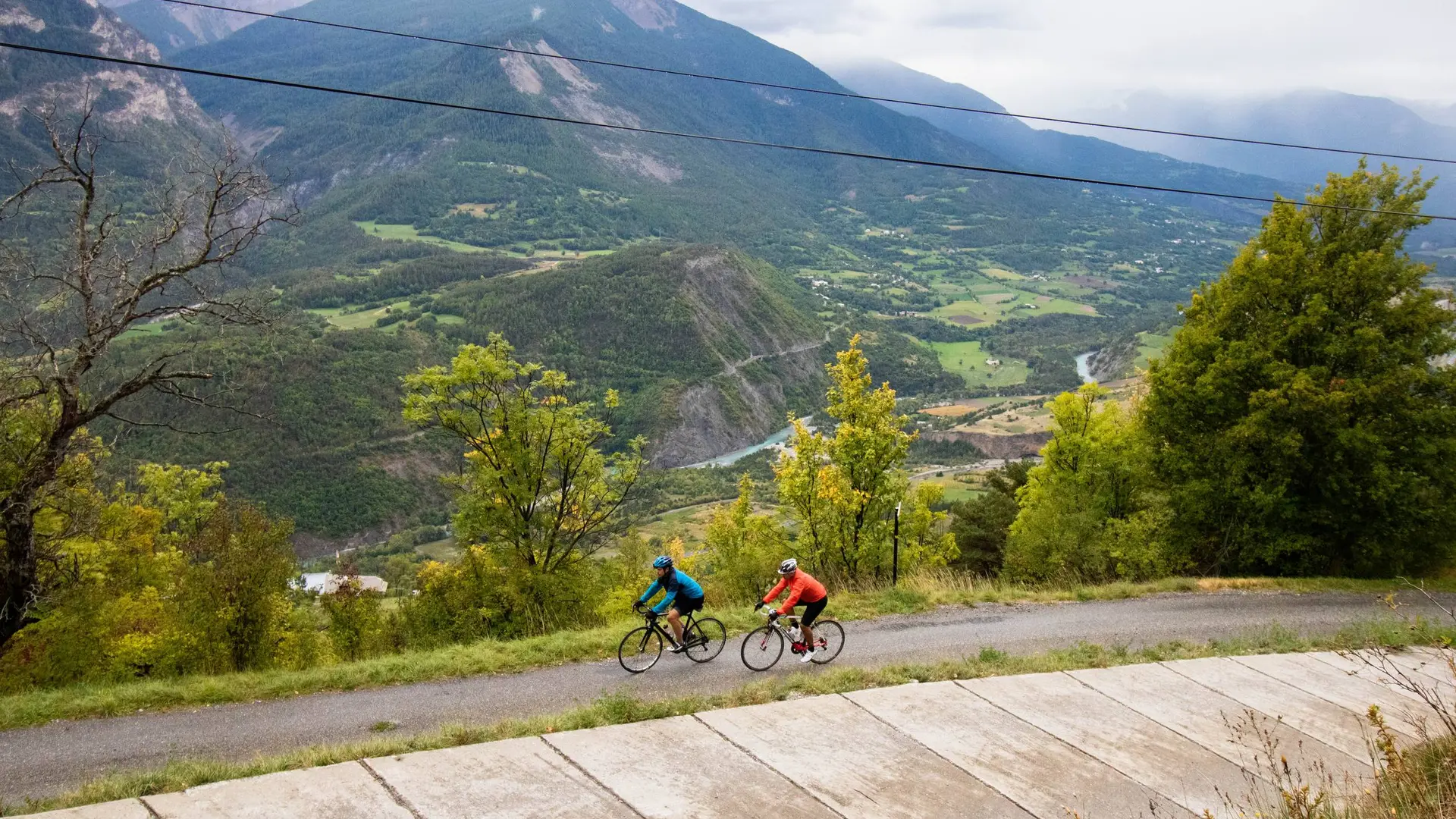
  • From the centre of the village, head north and pass over a stream. Continue on the D994h (Route d'Italie) then climb left towards Saint-Marcellin. Follow the "Coins du Monde" sign through the village.
    The ascent is gradual and becomes gentler as you approach the hamlet of Serre Buzard. Stay on the main road, which narrows as it runs alongside the houses and reaches a cross at a fork in the road.
    Now take a small track that descends to the right. The surface is not always smooth, so walk...
    From the centre of the village, head north and pass over a stream. Continue on the D994h (Route d'Italie) then climb left towards Saint-Marcellin. Follow the "Coins du Monde" sign through the village.
    The ascent is gradual and becomes gentler as you approach the hamlet of Serre Buzard. Stay on the main road, which narrows as it runs alongside the houses and reaches a cross at a fork in the road.
    Now take a small track that descends to the right. The surface is not always smooth, so walk carefully down this section. Reach the Béguê fairly quickly, where the tarmac is more pleasant to ride on.
    Cross the hamlet of La Touisse and glide down to Fontfourane.
    Continue to Route d'Italie then return to Châteauroux-les-Alpes.

    Easy
  • Departure
    Châteauroux-les-Alpes
  • Difference in height
    348.667 m
  • Departure : Town centre car park, Châteauroux-les-Alpes.
    Arrival : Town centre car park, Châteauroux-les-Alpes.
    Road access : Follow the N94 from Gap or Embrun towards Briançon then Châteauroux-les-Alpes..
    Parking recommended : Town centre car park, Châteauroux-les-Alpes .
    Public transport : From Gap or Embrun:


    Zou! network : Line 69 / Frequency : 5 times a day

    More information: https://zou.maregionsud.fr .
  • Documentation
    GPX / KML files allow you to export the trail of your hike to your GPS (or other navigation tool)
349 meters of difference in height
  • Maximum altitude : 1297 m
  • Minimum altitude : 967 m
  • Total positive elevation : 349 m
  • Total negative elevation : -349 m
  • Max positive elevation : 271 m
  • Min positive elevation : -237 m