Col Bousson - Cervières - Izoard

The Bousson pass via the gravel pit

Sport, Skiing, Ski touring route in Cervières
15.7 km
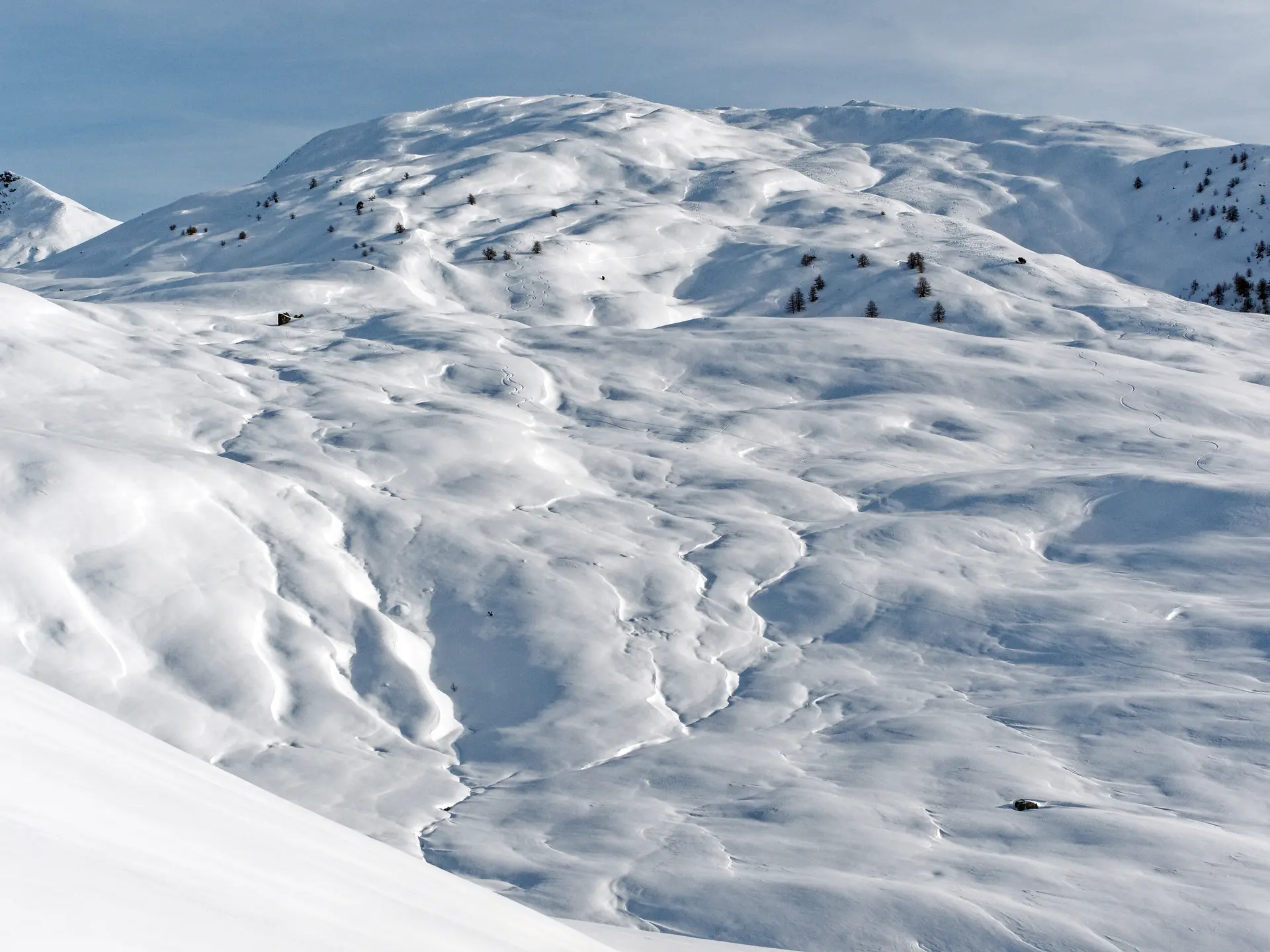
  • Take advantage of the wild spaces offered by the Col de Bousson.

  • This is a ski touring itinerary. The information given is for guidance only (proposed GPX tracks and time included). They must be adapted according to your level of experience, the day's weather conditions and avalanche risks.
    In all cases, prepare for your outing before you leave with the appropriate ski touring equipment (avalanche transceiver, shovel, probe), appropriate clothing, plenty of provisions and water, and by informing those around you of your itinerary...
    If in doubt about...
    This is a ski touring itinerary. The information given is for guidance only (proposed GPX tracks and time included). They must be adapted according to your level of experience, the day's weather conditions and avalanche risks.
    In all cases, prepare for your outing before you leave with the appropriate ski touring equipment (avalanche transceiver, shovel, probe), appropriate clothing, plenty of provisions and water, and by informing those around you of your itinerary...
    If in doubt about the state of the snowpack and/or if the route becomes complicated, turn back.
    And don't forget to call on mountain professionals to guide you on outings off the beaten track.

    This is a ski touring itinerary. The information given is to be adapted according to your level of experience, the day's weather conditions and avalanche risks.
    It is essential to prepare your outing before setting off: appropriate ski-touring equipment (avalanche transceiver, shovel, probe), appropriate clothing, tell those around you about your itinerary, don't set off alone...
    If in doubt about the state of the snowpack and/or if the route becomes complicated, turn back.
  • Departure
    Cervières
  • Difference in height
    532.302 m
  • Plain text period
    From 01/12 to 15/04 daily.

    Subject to favorable snow and weather conditions.
  • Environment
    • Mountain location
  • Spoken languages
    • French
  • Documentation
    GPX / KML files allow you to export the trail of your hike to your GPS (or other navigation tool)
532 meters of difference in height
  • Maximum altitude : 2140 m
  • Minimum altitude : 1644 m
  • Total positive elevation : 532 m
  • Total negative elevation : -532 m
  • Max positive elevation : 236 m
  • Min positive elevation : -128 m
Services
  • Equipment
    • Parking nearby