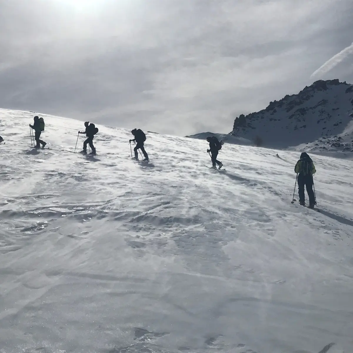
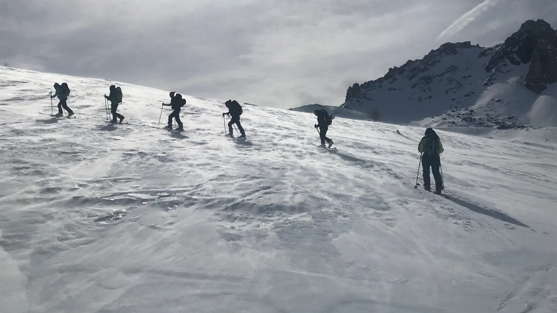
The Col de Buffère is a classic snowshoeing itinerary that is well-frequented. It can be done in a day from Névache, or as an itinerary from the Refuge de Buffère.
Starting from Névache Ville Haute, you'll need to take the upper valley road - this is usually groomed, but in exceptional cases (heavy snowfall) you may have to open the trail yourself.
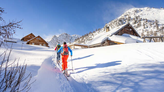
After passing the Chapelle Notre Dame de Bon Secours, on the large flat area on the left is a signpost indicating the Refuge de Buffère trail.
Cross the Rately bridge and stay on the refuge's itinerary. The path climbs steeply through a larch forest on the left, but don't be discouraged as it leads to the refuge and the magnificent, vast Buffère valley.
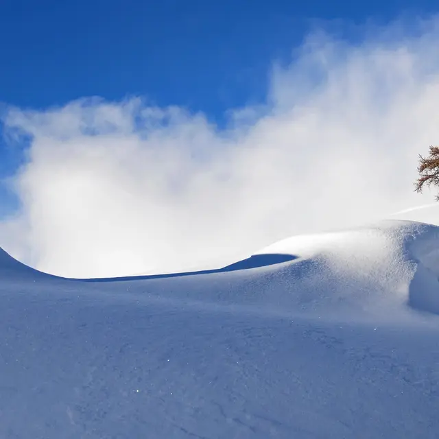
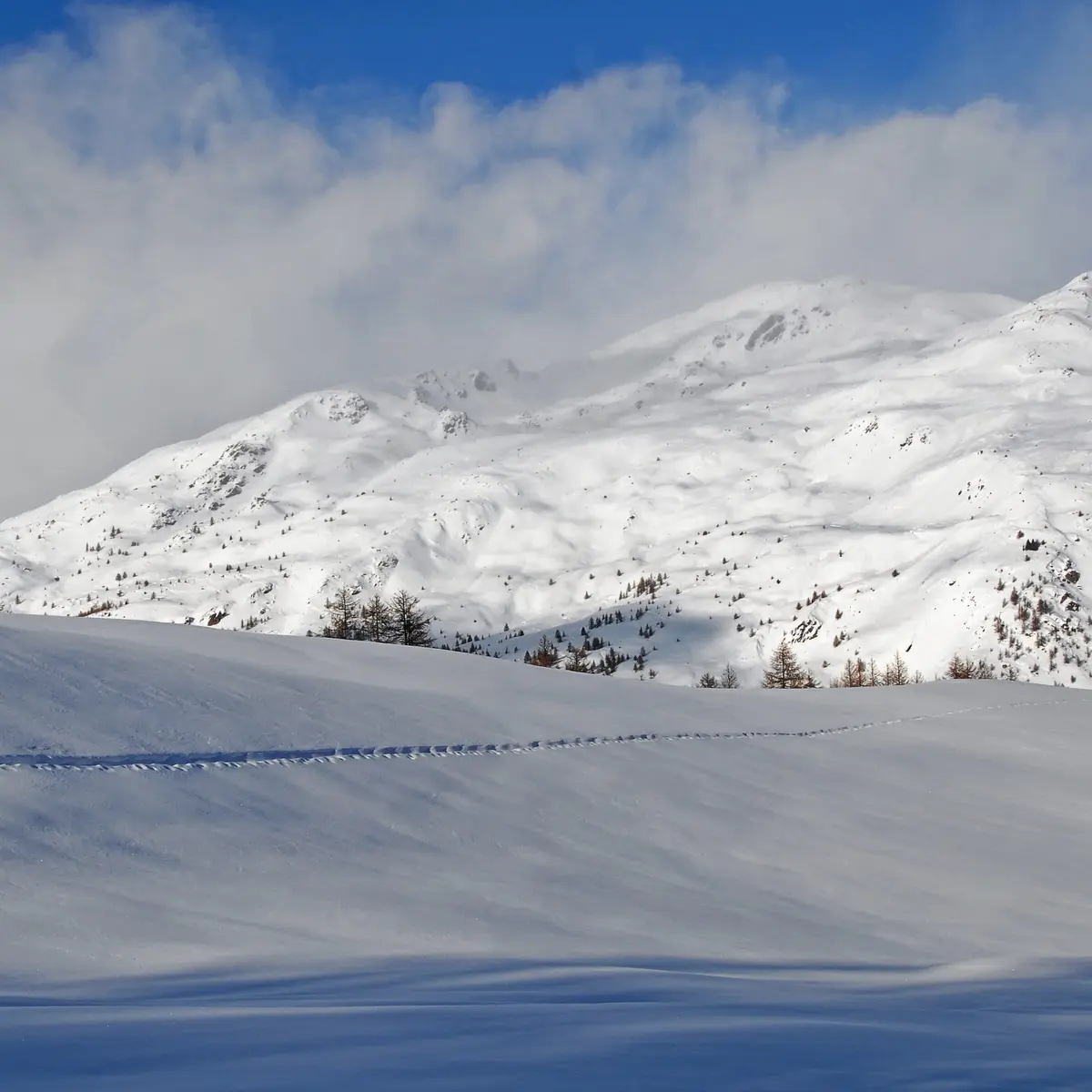
Once past the refuge, the route continues straight on, then pulls slightly to the right into the valley, following the posts to the pass where an exceptional view awaits you. The descent is by the same route.
Caution: in summer, this route leaves Névache on the right bank via the Outre bridge, on the left just after the church; it is avalanche-prone and totally inadvisable in winter.
Find out when the refuge is open and make sure you book in advance.
Remain vigilant: you need to be aware of changing weather and snow conditions. The G.R. and other itineraries used in summer are not always the same as those used in winter - the right bank itinerary between Ville Haute and the Rately bridge is not recommended.
Stay alert to avalanche risks. Our mountain guides are there to guide you on this winter terrain, which they know well.