See photos (3)

The cave path

Sport, Pedestrian sports, Hiking itinerary in Aups
4.7 km
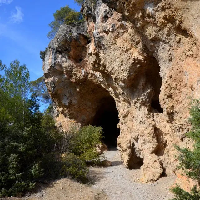
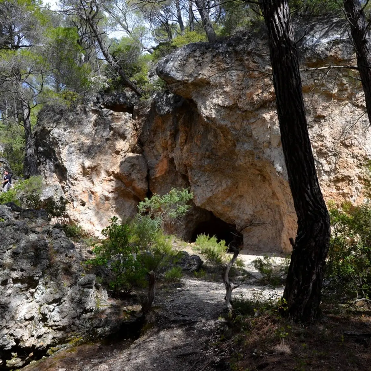
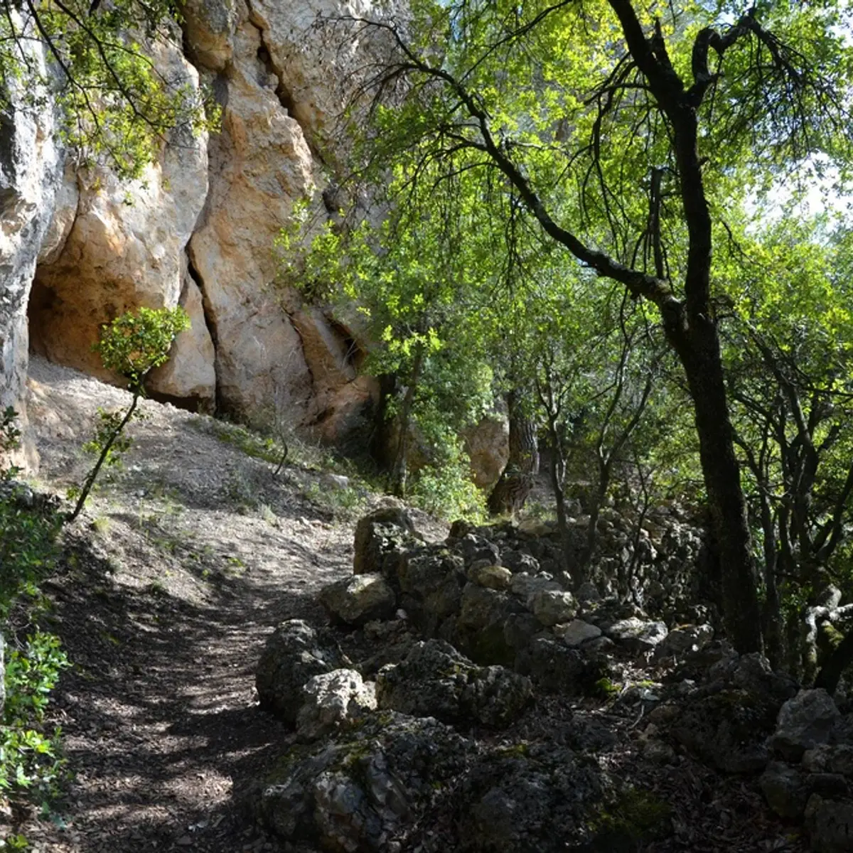
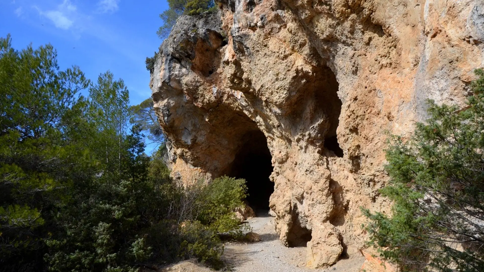
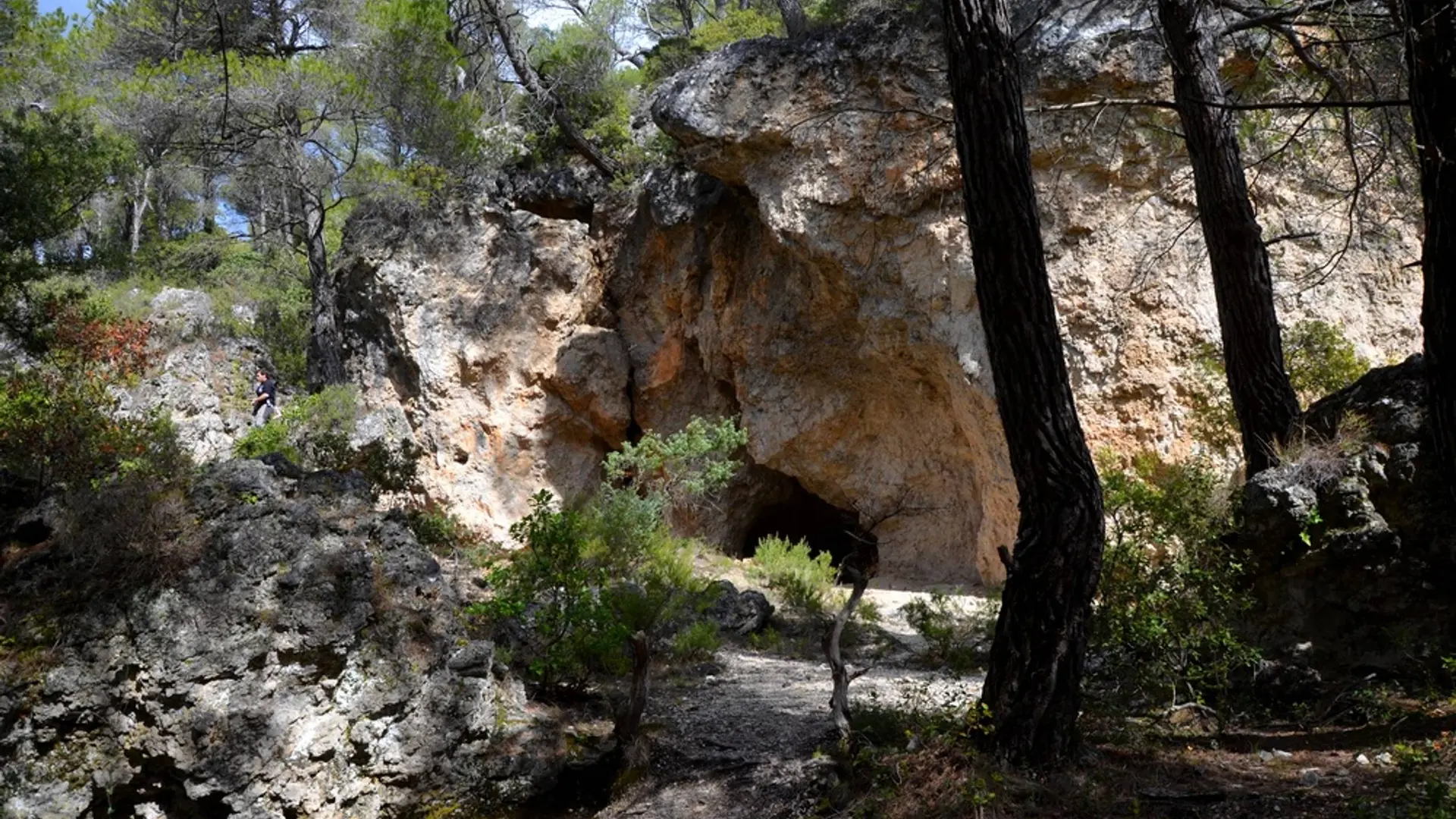
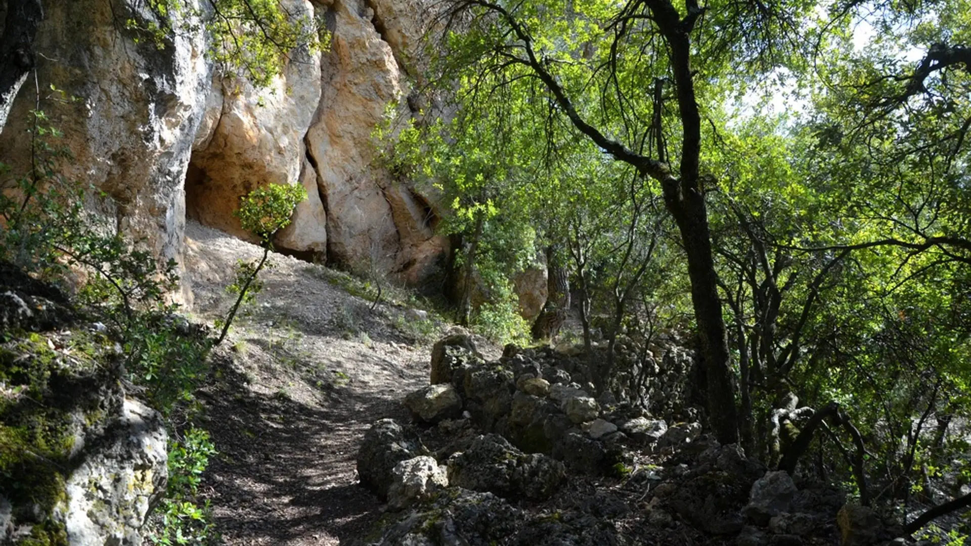
  • A beautiful walk through various landscapes, the olive trees, the stone walls, the caves and especially the rupestrian chapels.

  • From the tourist office, pass the St-Pancrace church and walk up Aups through the medieval streets (attention, the yellow markings begins at point (1).

    Pass at the foot of the Tour de l'Horloge, follow the Aires street and exit the ramparts through the Aires portal. Walk along the Notre-Dame de la Délivrance chapel and enter the Devensaux rural road on the other side of the road.

    1- At 150 m, leave the small road and turn right on chemin de la Trinité. Pass the college, the dirt road is...
    From the tourist office, pass the St-Pancrace church and walk up Aups through the medieval streets (attention, the yellow markings begins at point (1).

    Pass at the foot of the Tour de l'Horloge, follow the Aires street and exit the ramparts through the Aires portal. Walk along the Notre-Dame de la Délivrance chapel and enter the Devensaux rural road on the other side of the road.

    1- At 150 m, leave the small road and turn right on chemin de la Trinité. Pass the college, the dirt road is tarred. Climb up to the chapel Sainte-Trinité (10th and 11th centuries), pass below, and join a dirt road to the first caves of Aups. Continue on the flat road for another 300 m to reach, nestled in the wall, the curious Sainte-Magdeleine chapel. Continue the route under the green oaks, walk along a low wall and join the intersection with the Croix des Pins path

    2- Follow the path on the right and go down along dry stone walls. Join a small road, continue to descend, pass the buildings of the oil mill and get to the departmental road from Aups to Tourtour. Go back through the Charles Boyer alley to the village.

    Very easy
  • Departure
    Aups
  • Difference in height
    182.79 m
  • Departure : In front of the Tourism Office.
    Arrival : In front of the Tourism Office.
    Parking recommended : Parking sous la place .
  • Documentation
    GPX / KML files allow you to export the trail of your hike to your GPS (or other navigation tool)
183 meters of difference in height
  • Maximum altitude : 589 m
  • Minimum altitude : 493 m
  • Total positive elevation : 183 m
  • Total negative elevation : -183 m
  • Max positive elevation : 78 m
  • Min positive elevation : -86 m