- Voir les favoris
The chalets of Vaucluse
Sport, Winter sports, Snowshoe itinerary
in Réallon
6.6
km
-
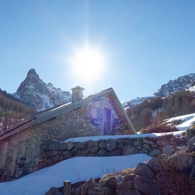
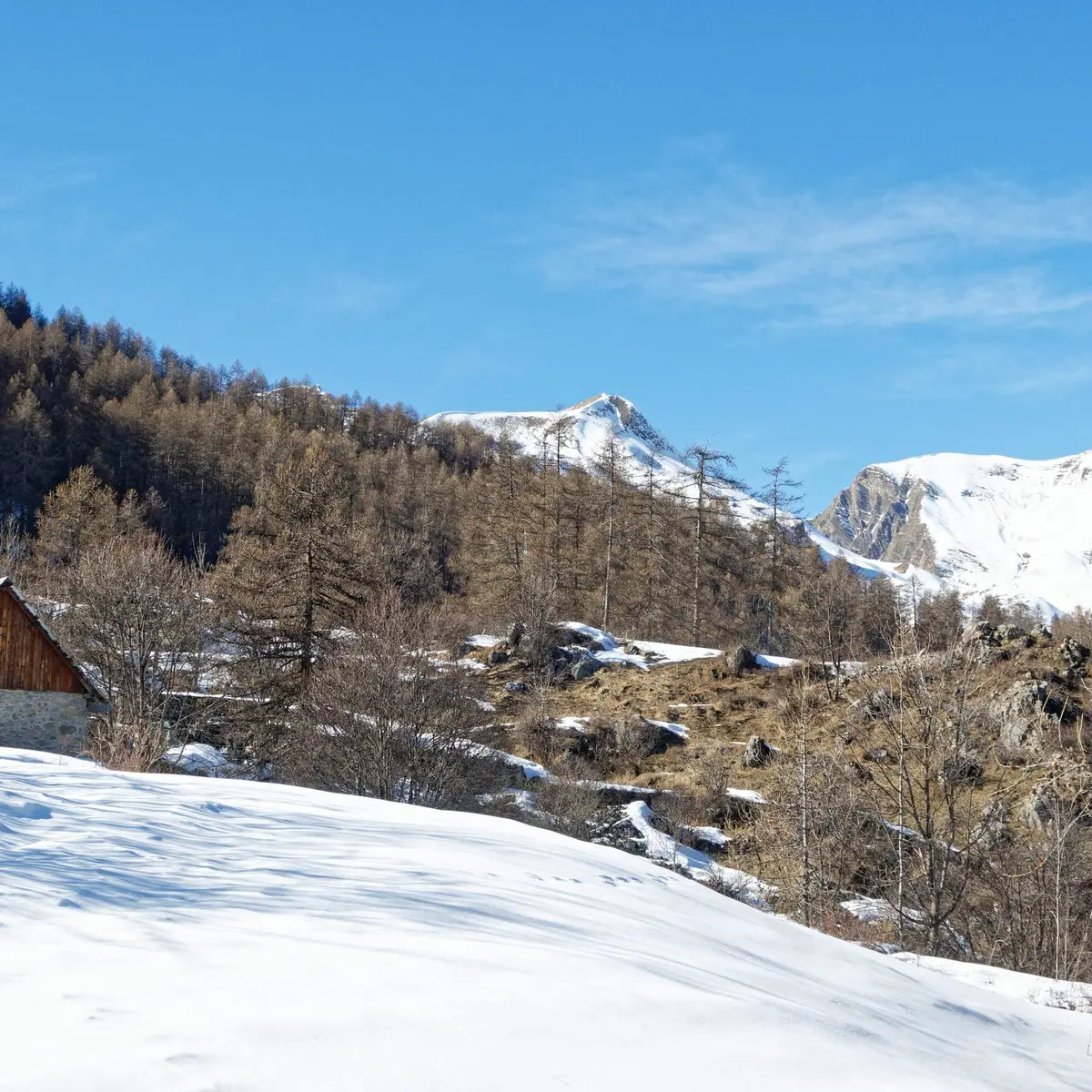
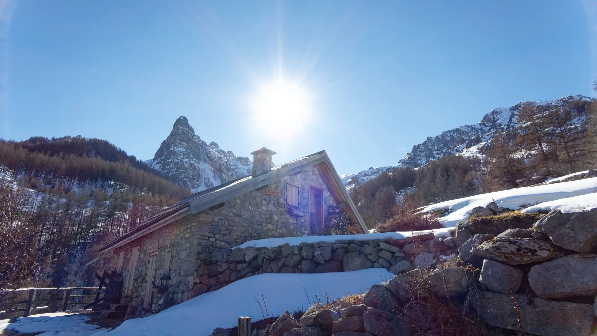
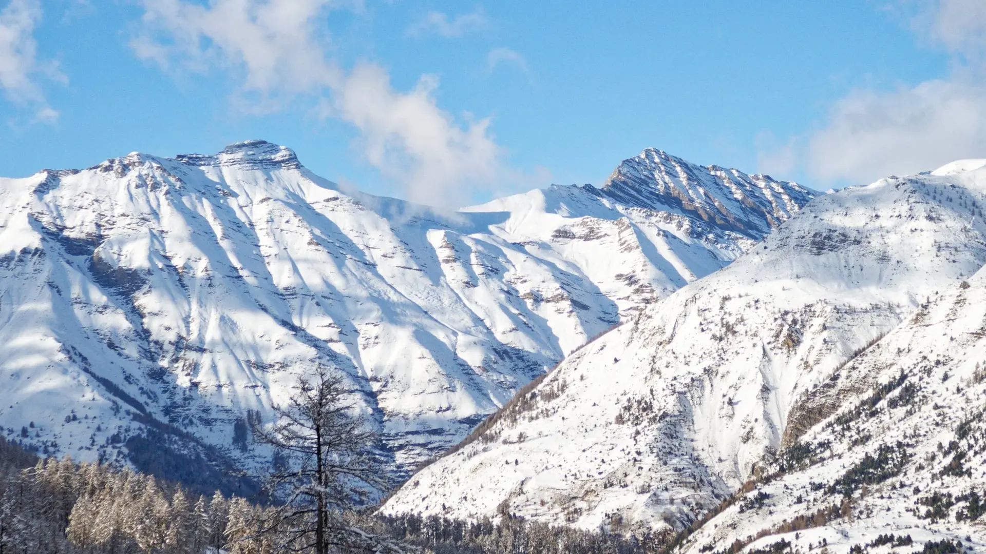
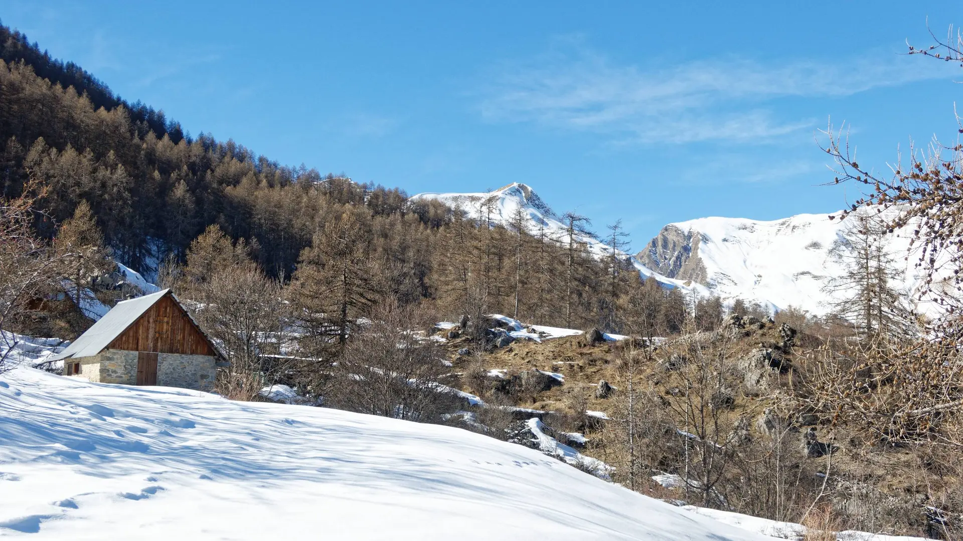
Walking along former agricultural terraces which have been reclaimed by the forest, continue beneath the impressive Aiguilles de Chabrières to the Chalets de Vaucluse.
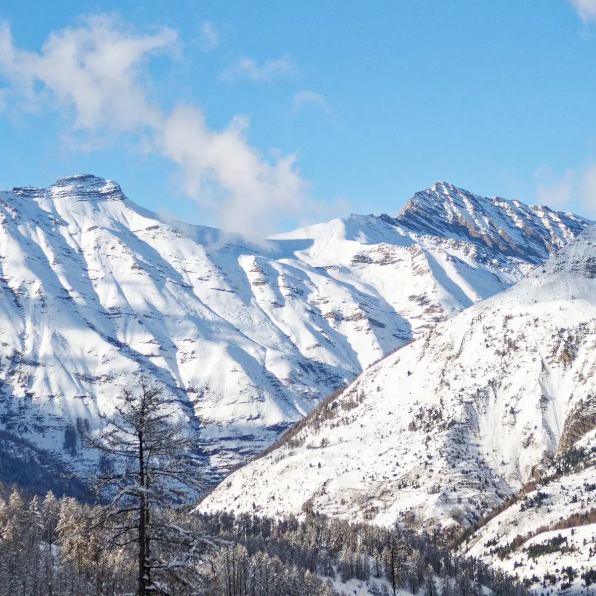
-
From the ski pass offices, turn right into the tourist office. Continue through the heart of the resort until you reach a signpost. From there, continue left uphill between the houses.
Once you reach a road, continue uphill. At the end of the road, take the flat path.
At the intersection take the left fork. The balcony path then passes a ski lift. Pass it and continue on flat ground on former agricultural terraces. On the way down, the path joins a cross-country ski trail.
Ascend to the left...From the ski pass offices, turn right into the tourist office. Continue through the heart of the resort until you reach a signpost. From there, continue left uphill between the houses.
Once you reach a road, continue uphill. At the end of the road, take the flat path.
At the intersection take the left fork. The balcony path then passes a ski lift. Pass it and continue on flat ground on former agricultural terraces. On the way down, the path joins a cross-country ski trail.
Ascend to the left for 100m, then veer right to return to the balcony path. At the crossroads, leave the path on the right as you descend and stay on the main path. Leave the forest, cross a stream and join the chalets de Vaucluse.
The return journey takes the same route.
Easy
- Departure
- Réallon
-
-
Difference in height
- 185.57 m
-
-
-
Departure : The resort of Réallon, Réallon.
Arrival : The resort of Réallon, Réallon.
Road access : You can get there in several ways: Chorges via Saint-Apollinaire (D9), from Savines-le-Lac via Chérines (D41) and from Embrun via the Route des Puys (D9)..
Parking recommended : Réallon ski resort car park .
- See all reviews
- 186 meters of difference in height
-
- Maximum altitude : 1641 m
- Minimum altitude : 1554 m
- Total positive elevation : 186 m
- Total negative elevation : -186 m
- Max positive elevation : 46 m
- Min positive elevation : -48 m
