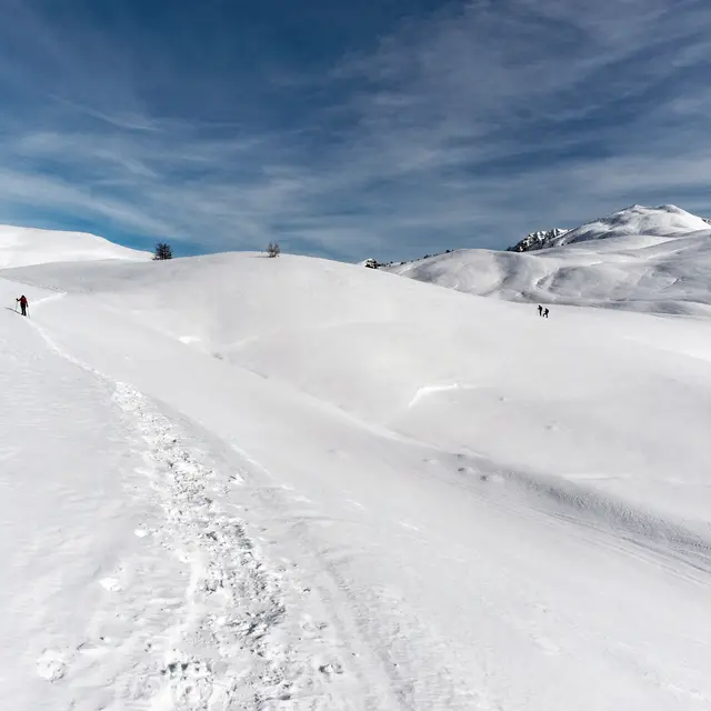
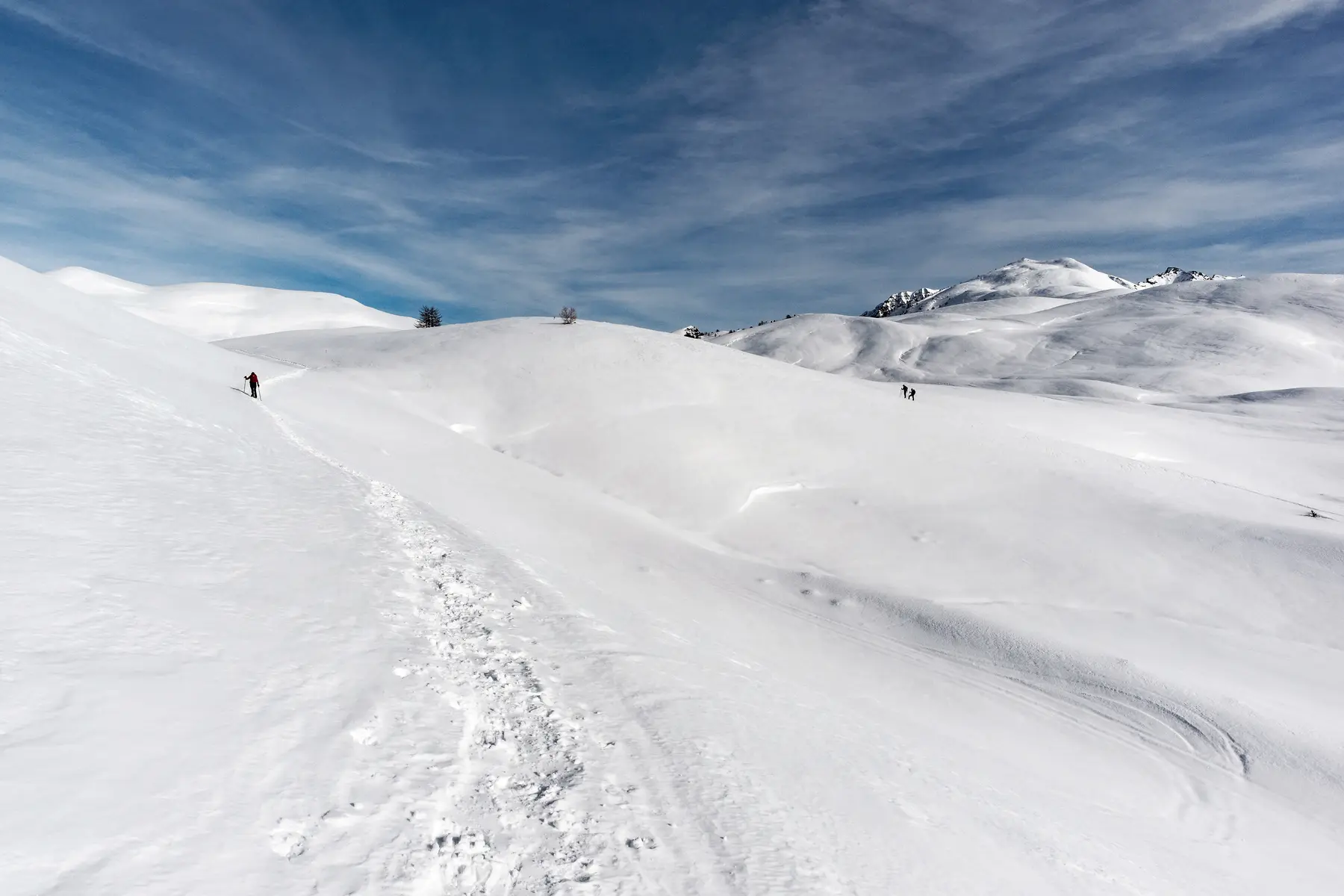
From the village of Cervières, discover the Bourget plain and climb up to the Col de Bousson for total immersion in the heart of nature.
Warning, this itinerary is not groomed: the first part of the ascent to the plaine du bourget is groomed in February. After the plain, the route to the Col de Bousson is not groomed.
From the village church, cross the bridge then take the lane rising to the left: you have to cross the village to reach its heights.
Pass the Maison Faure-Vincent Dubois and take the 1st lane on the right, going straight up to the bend. Take the bend and pass the Ferme découverte La Maison des Bêtes à laine. Continue straight ahead.
Walk up the snow-covered road that serves as a pedestrian route in winter (caution: groomed route subject to fee). Pass the Mur des Aittes, then the hamlet of La Chau. Once on the Bourget plain, continue straight on to the hamlet of Hugues.
At the hamlet of Hugues, leave the groomed route and turn left towards Rif Tord/Col du Bousson.
After Rif Tord, climb for about 3 km to the pass.
Return by the same route.
Please note that this particularly long route requires careful preparation.
- The telephone network is almost non-existent in this part of the valley.
- The Refuge des Fonts de Cervières is not open in winter.
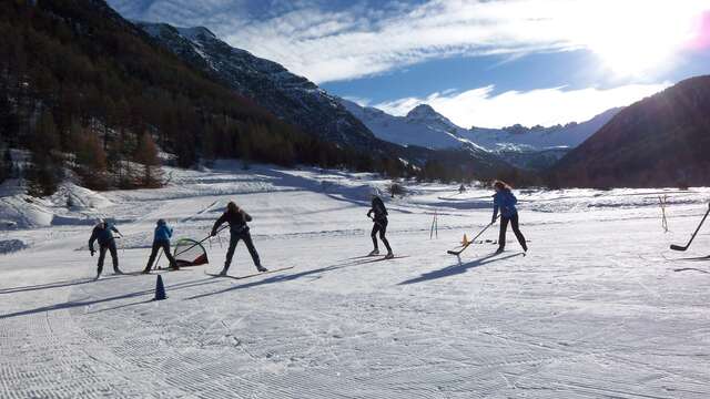
- There is a cross-country ski hostel in the village of Cervières, where you can rent cross-country ski equipment (alternating and skating), snowshoes, cross-country ski skins, sledges... Also tourist information and ski pass sales.
Progressing on snow-covered terrain is much more demanding than in summer, requiring special equipment and knowledge of mountain risks.
An ungroomed itinerary may require you to "follow the tracks", so you need to be in good physical condition and well-prepared for the outing.
-Consult the weather forecast
-Avalanche risk assessment bulletin
-Consult guidebook recommendations
-Make sure you have the right equipment, including avalanche transceivers, shovels and probes.
-Choose an itinerary suited to your physical condition
-Never set off alone.