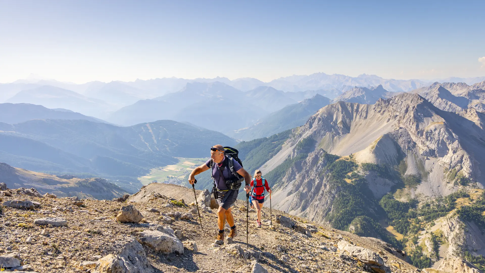
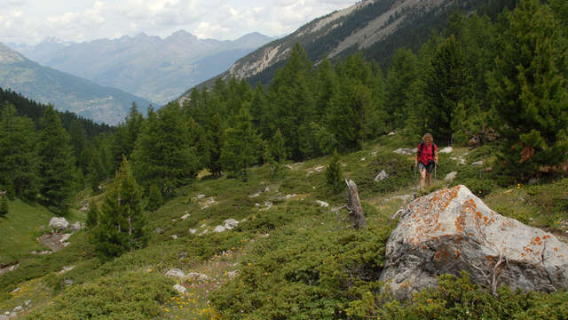
This wild hike follows the GR5 through the Bois des Ayes and its Biological Reserve to the Col des Ayes, which marks the boundary with the Queyras Regional Nature Park.
Park at the entrance to the hamlet of Chalets des Ayes, then cross the hamlet to the last chalets, following the GR5 ( direction Col des Ayes / Brunissard ) to the left.
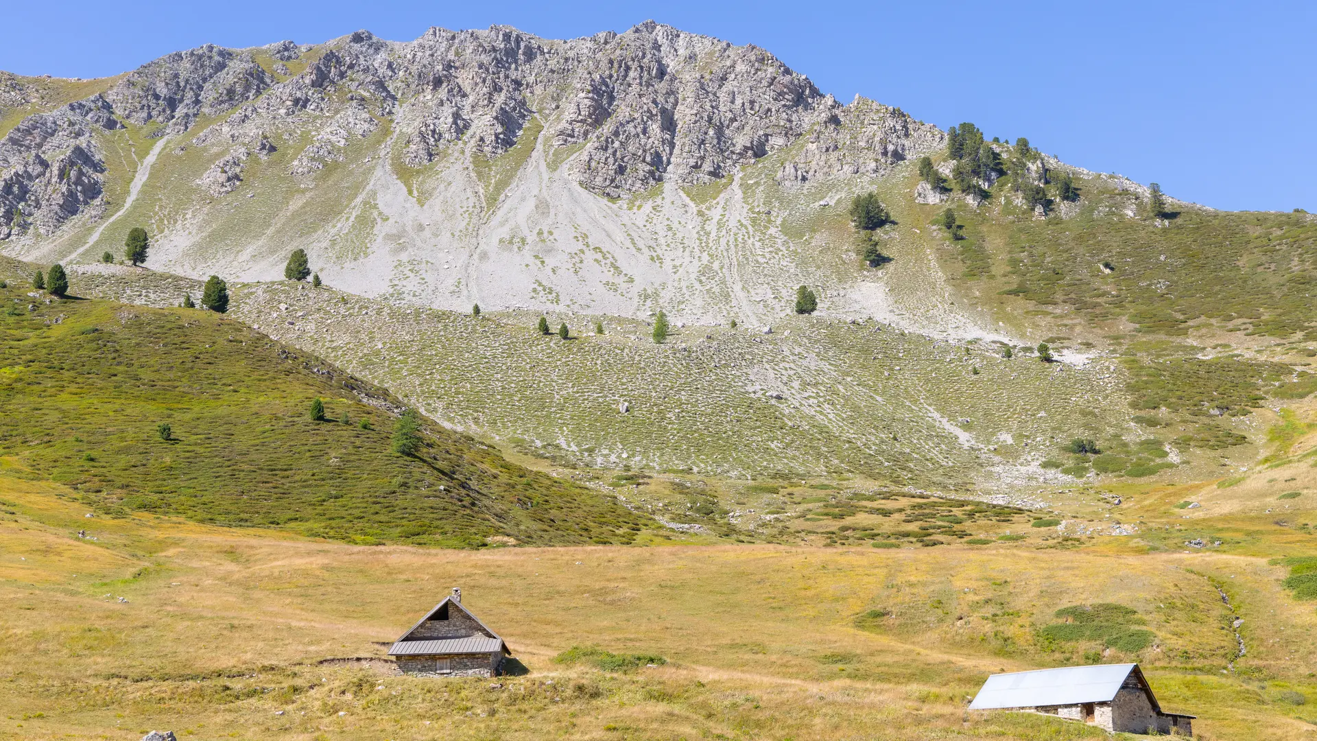
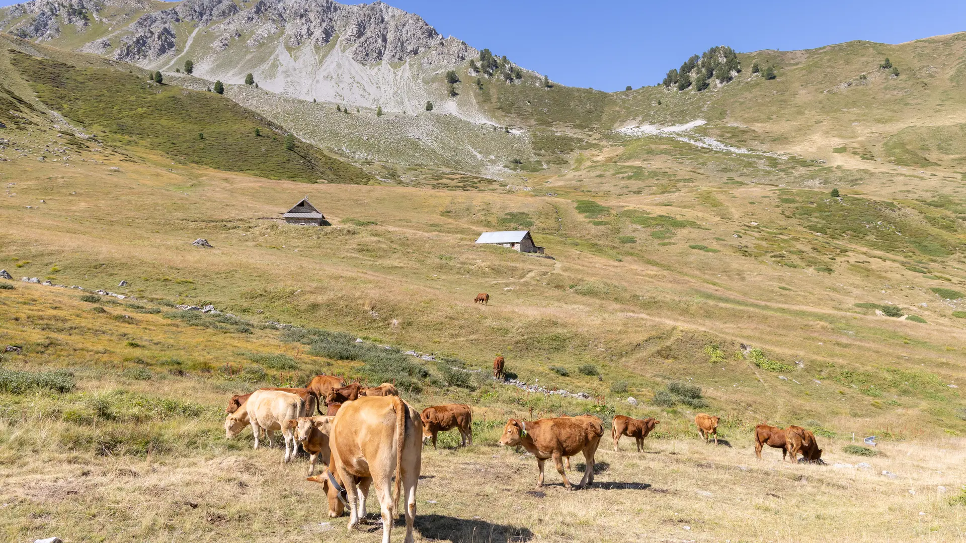
The route then enters the Bois des Ayes forest on the left bank of the torrent, as a wide forest track for 3.2 km to the "Chalets de vers le Col".
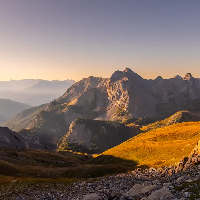
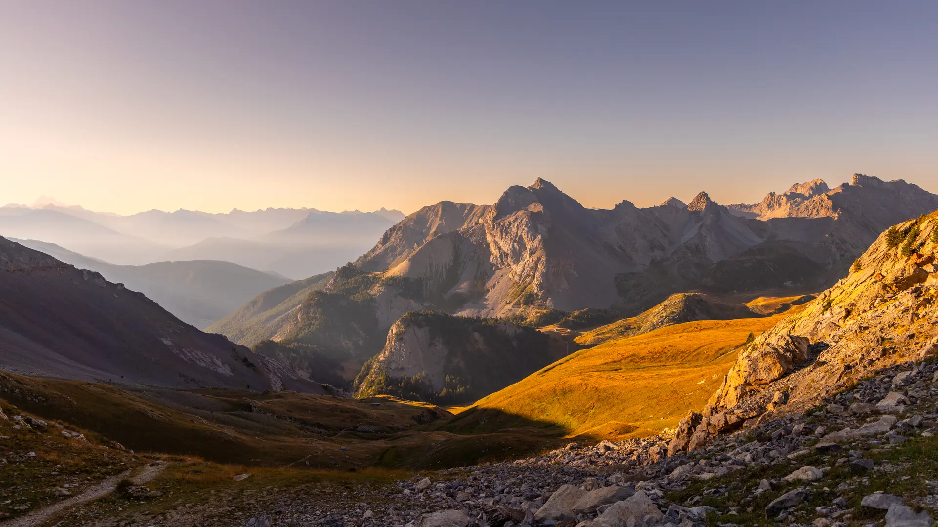
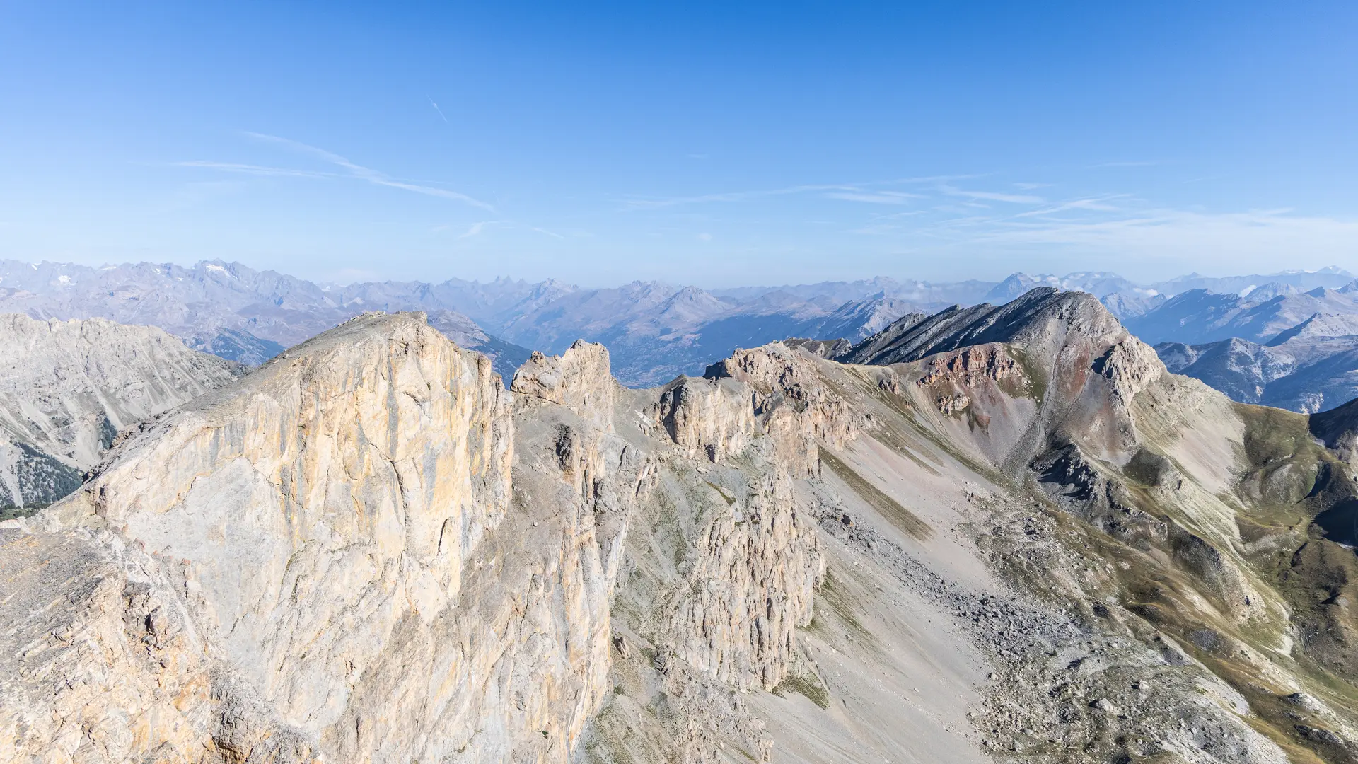
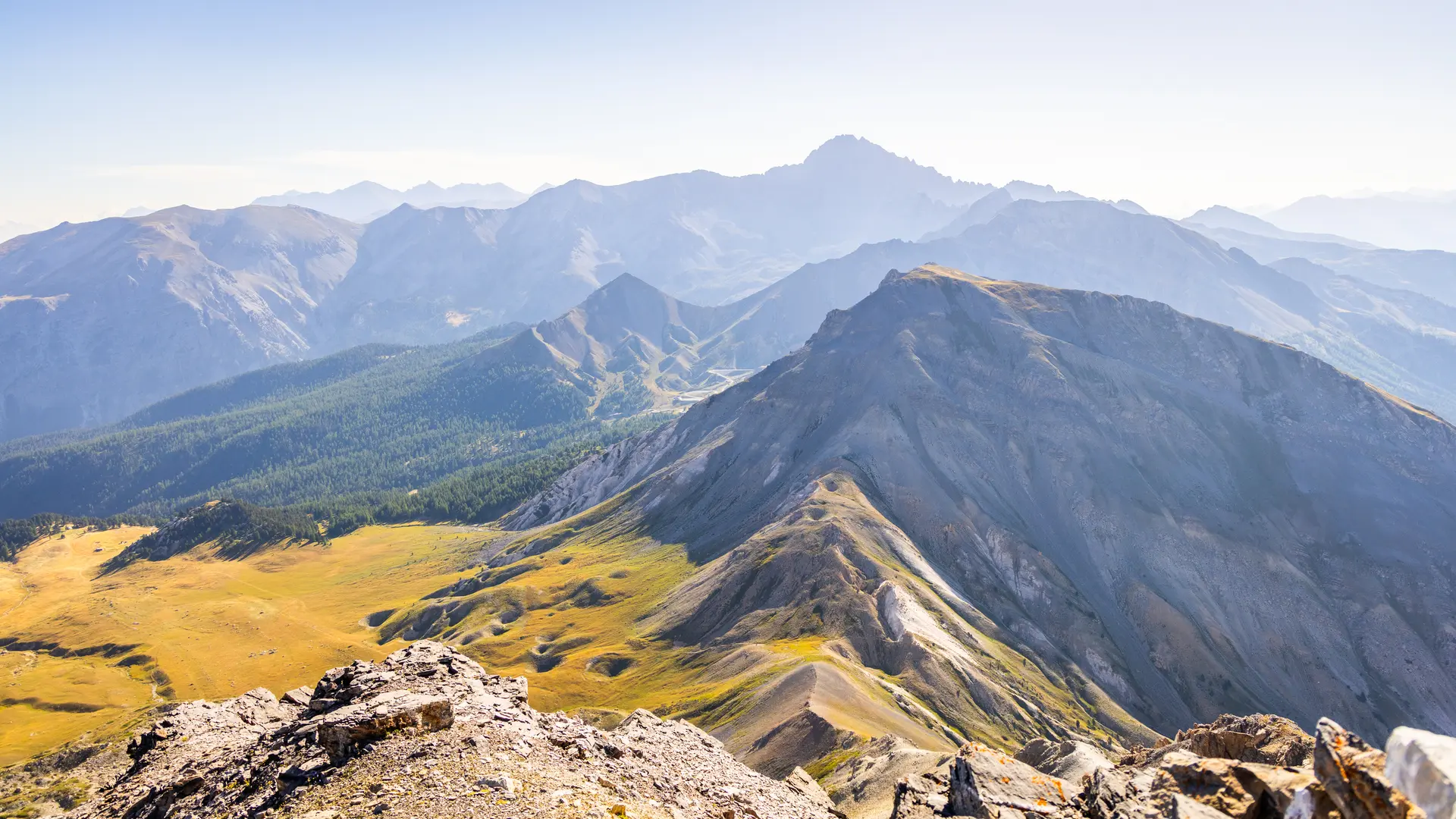
Following the GR, this wide track continues for 1km, ending as a small path to the pass, crossing scree and meadows. The Queyras peaks and the Queyras Regional Nature Park stretch out before our eyes.
The return journey takes the same route.
Certain parts of the Bois des Ayes Natura 2000 site are protected areas with specific regulations, and the law provides for fines in the event of infringement. In particular, the Bois des Ayes reserve aims to protect the nesting grounds of woodpeckers, nocturnal birds of prey and black grouse.
The site is open to all, so please remember to observe the following recommendations:
-stay on marked trails
-keep your dog on a lead
-behave discreetly
-photograph flowers and animals from the paths
-leave stones where they are
- do not light fires
-take away garbage