See photos (3)
The Colombier lookout
Sport, Pedestrian sports, Trail route
in Crots
5.7
km
-
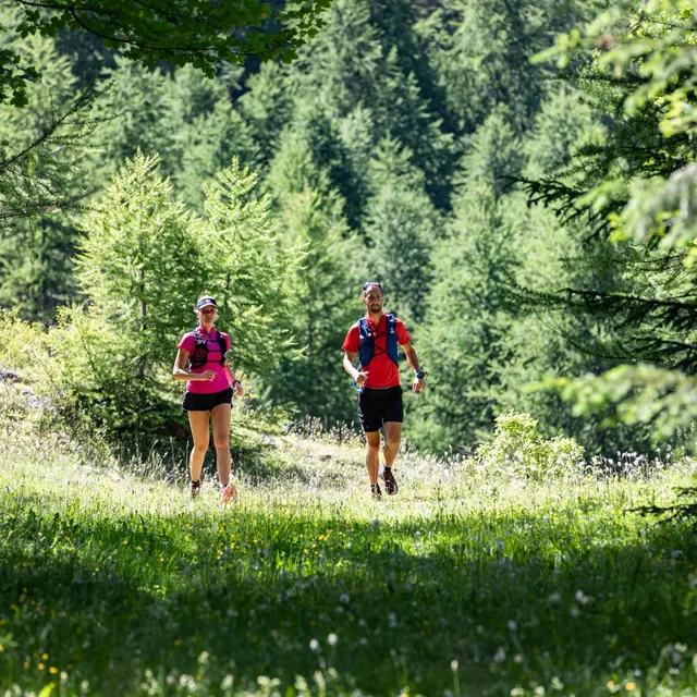
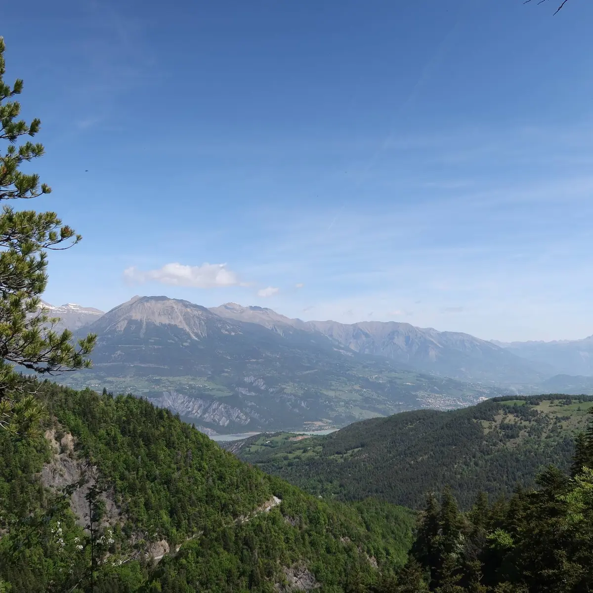
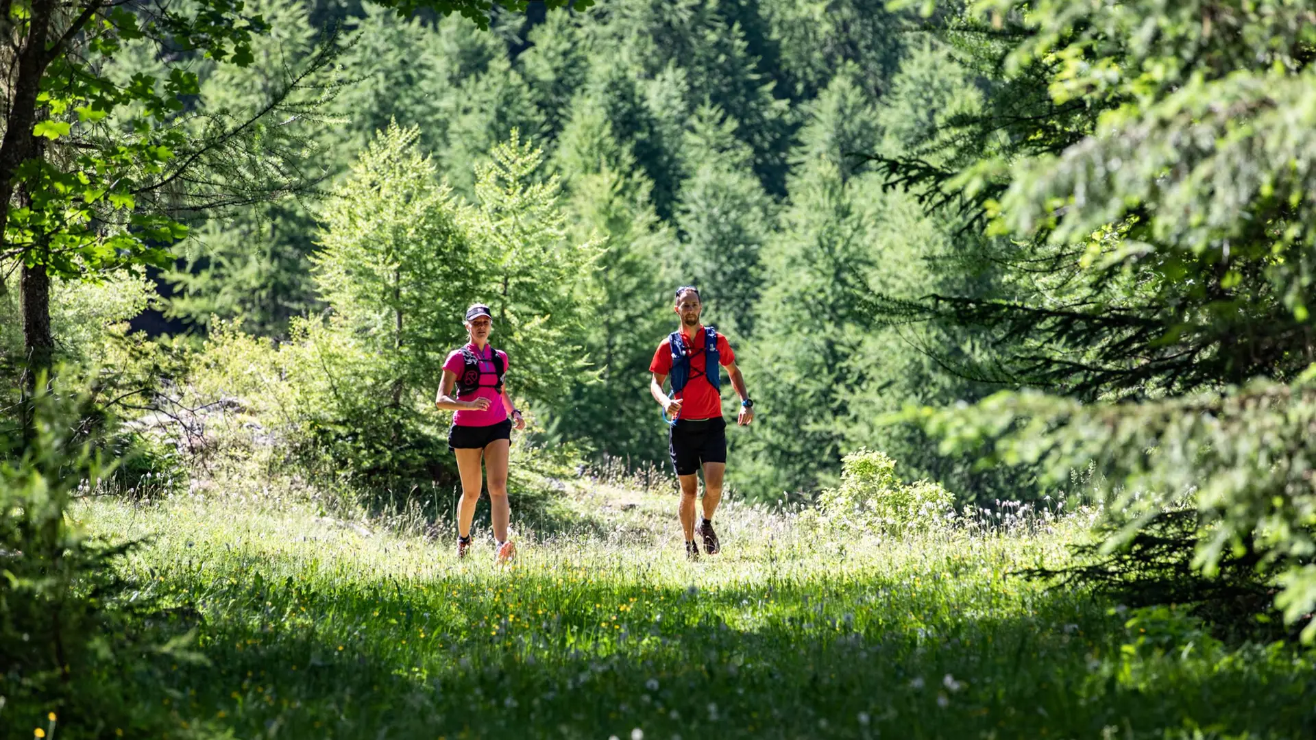
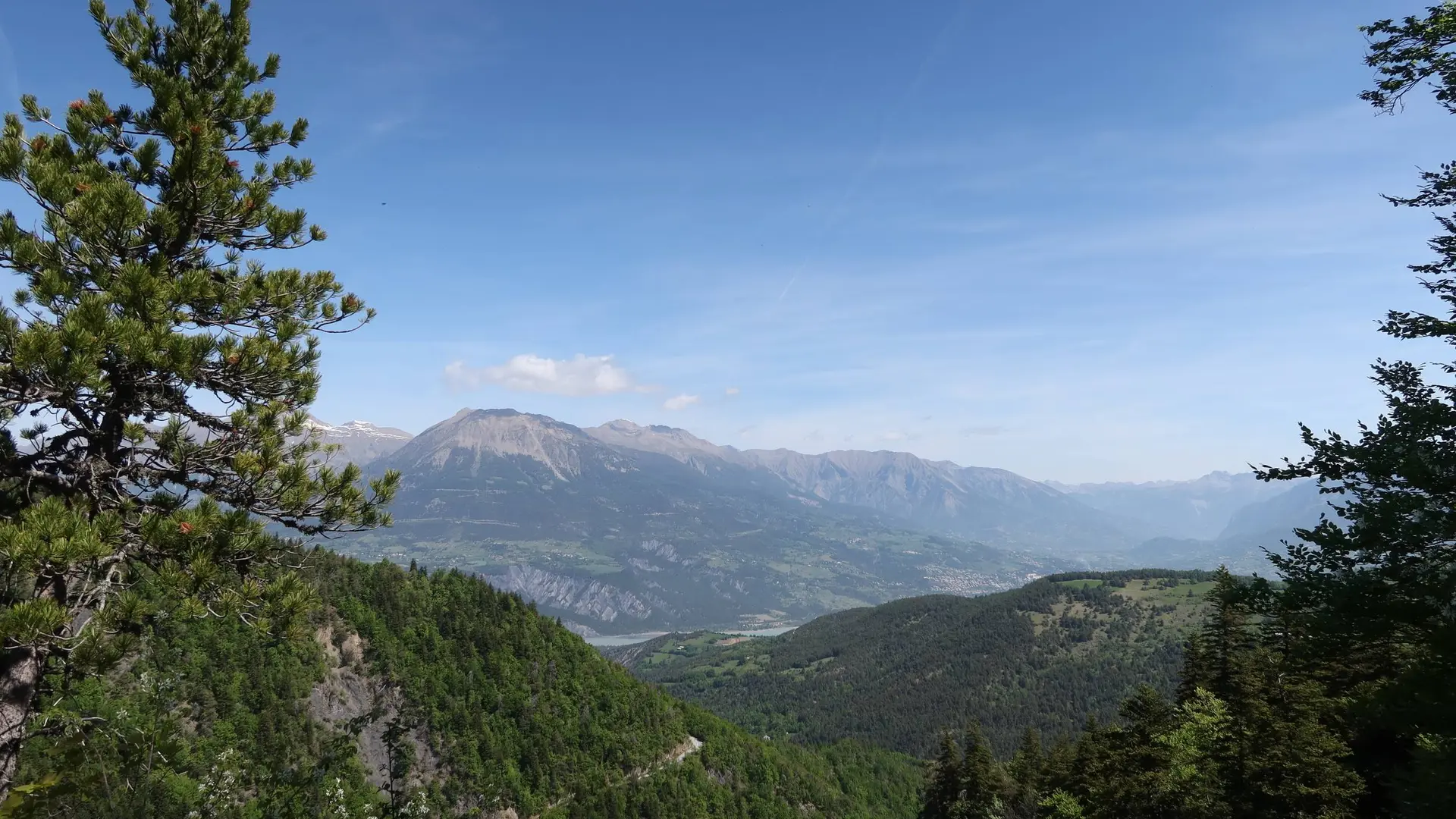
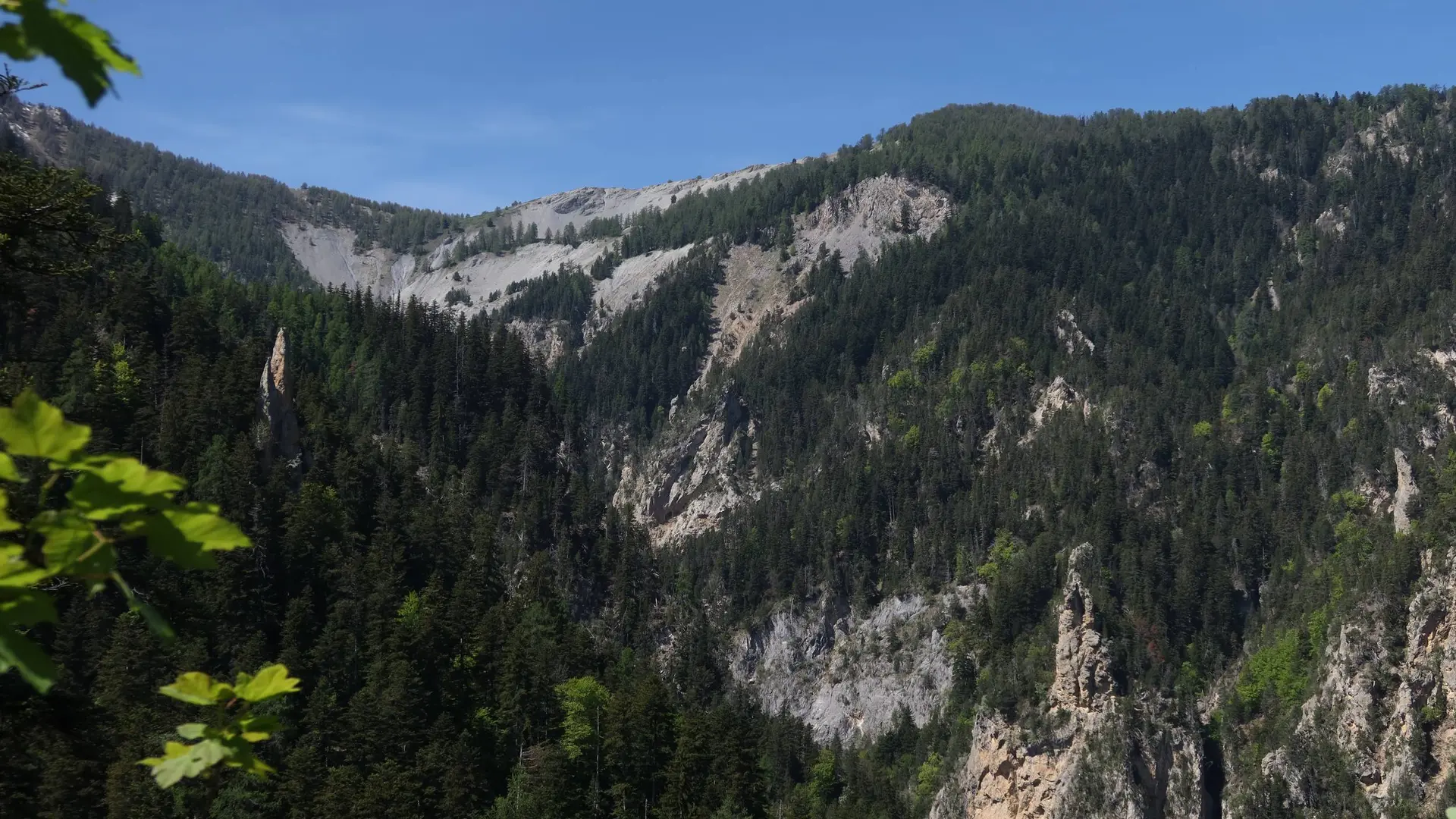
This forest trail winds its way through Boscodon forest, culminating in the Colombier lookout, which offers panoramic views over the Durance valley and the peaks of the Ecrins National Park.
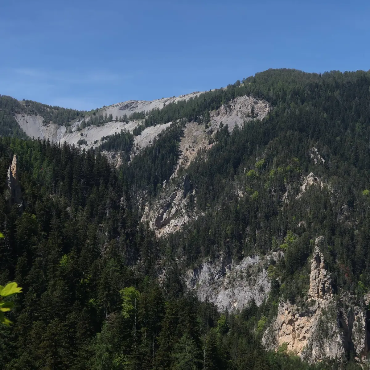
-
From Boscodon Abbey, head up the road towards the Grand Clos car park. At the crossroads, turn right over the bridge. At the end of the bend, take the path opposite which drops back onto the track.
Leave it by crossing the torrent on the left, then continue opposite on the wide track. Stay on it until you descend once more to the stream. The path initially climbs up the right bank and then into the forest via a number of hairpins. Further up the path becomes a track that joins the...From Boscodon Abbey, head up the road towards the Grand Clos car park. At the crossroads, turn right over the bridge. At the end of the bend, take the path opposite which drops back onto the track.
Leave it by crossing the torrent on the left, then continue opposite on the wide track. Stay on it until you descend once more to the stream. The path initially climbs up the right bank and then into the forest via a number of hairpins. Further up the path becomes a track that joins the road.
Descend the road for 50 m to the Colombier lookout. At the bend, leave the road and take a path down into the forest. At the intersection, continue to the right until you reach the road again. Cross it and continue straight ahead on the balcony path.
At the crossroads, continue straight ahead on the path. Stay on the road for 50m and take a right path onto the footpath. At the crossroads, keep right until you reach a chalet. Pass it and stay on the road as you descend to the start.
Easy
- Departure
- Crots
-
-
Difference in height
- 341.019 m
-
-
-
Departure : Boscodon Abbey, Crots.
Arrival : Boscodon Abbey, Crots.
From Chroges take the N94 towards Embrun. Cross Savines-le-Lac and after 3 km turn right onto the D 568 towards the Abbaye du Boscodon.
From Embrun take the N 94 towards Savines-le-lac. After 4 km, turn left onto the D 568 towards the Abbaye du Boscodon.
Parking recommended : Boscodon Abbey car park .
www.pacamobilite.fr
- See all reviews
- 341 meters of difference in height
-
- Maximum altitude : 1479 m
- Minimum altitude : 1157 m
- Total positive elevation : 341 m
- Total negative elevation : -341 m
- Max positive elevation : 296 m
- Min positive elevation : -223 m