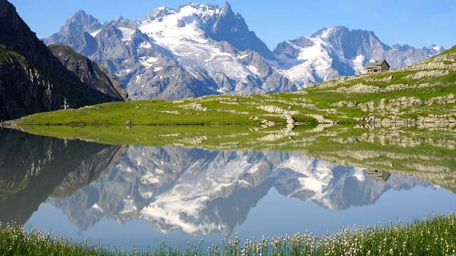
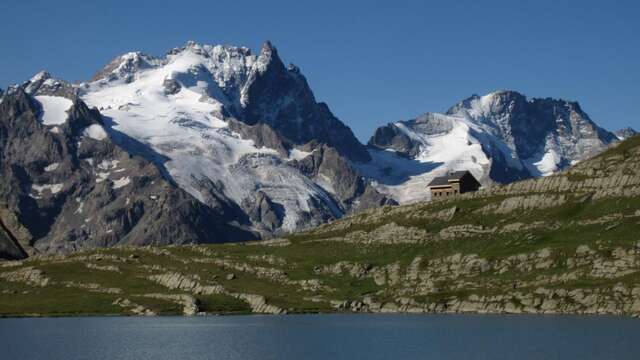
The Lac du Goléon site is only accessible to hikers after a tough climb from Valfroide; the proposed itinerary over the beautiful Cruq des Aiguilles pass offers a varied, more alpine alternative.
From Les Hières, follow the good carriage road along the valley towards Valfroide and 500 m before the Entraigues parking lot, turn left onto the tractor track towards "La Sauce";
Cross the hamlet and climb (east) towards the "rognon de Serre Coupa"; spot and follow the path that winds steeply up the "côte Lombarde" and at around 2200 m reaches flatter grassland that leads to the ruins of Puy Garnier (2346 m).
From this point continue northwards, crossing a small stream and continuing slightly uphill to pass close to the water catchment area (drinking water supply for the hamlets of La Grave).
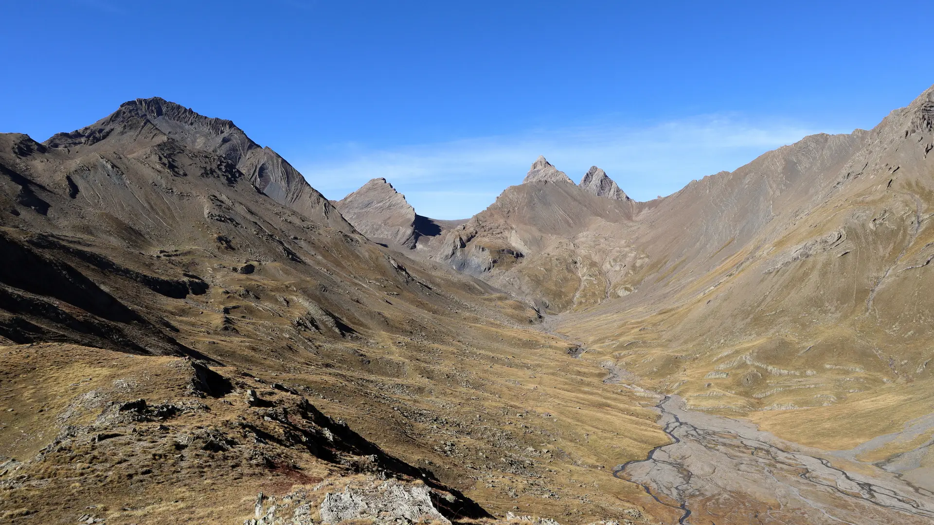
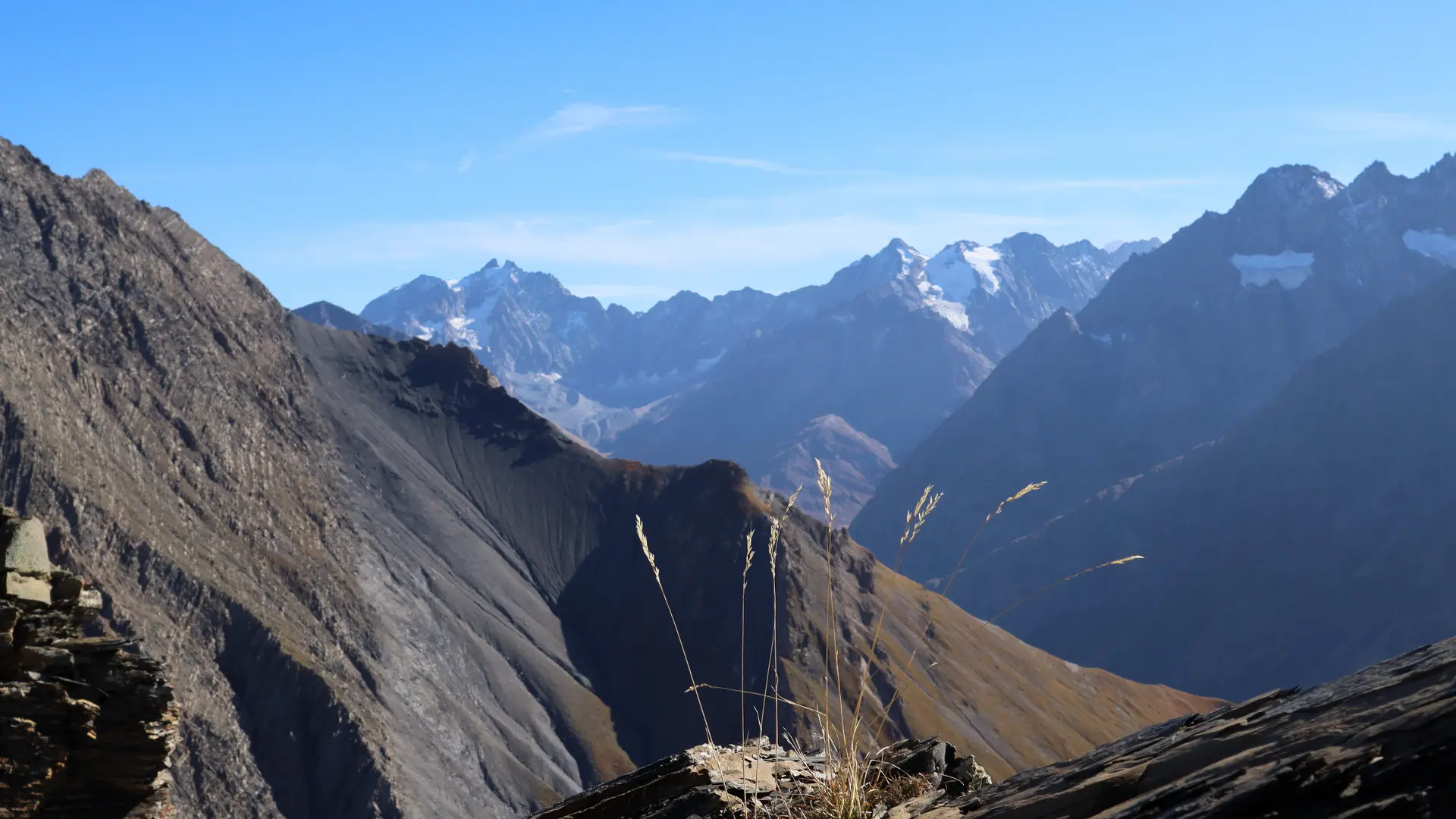
It's easy to spot the Cruq des Aiguilles, an attractive U-shaped pass 300 m higher up.
Climb the first steep slope up to the ridge overlooking the valley (ruiniform rocks), then after a short flat at the foot of the pass, reach the pass via a steep, stony slope (2707 m).
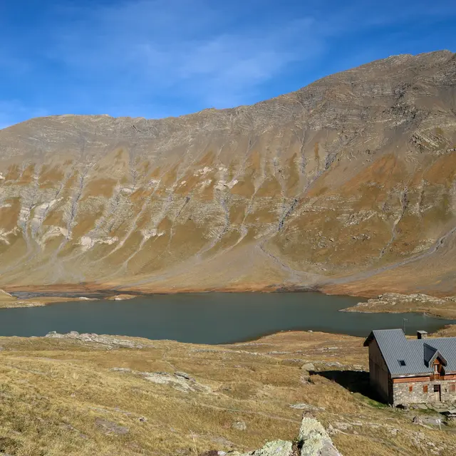
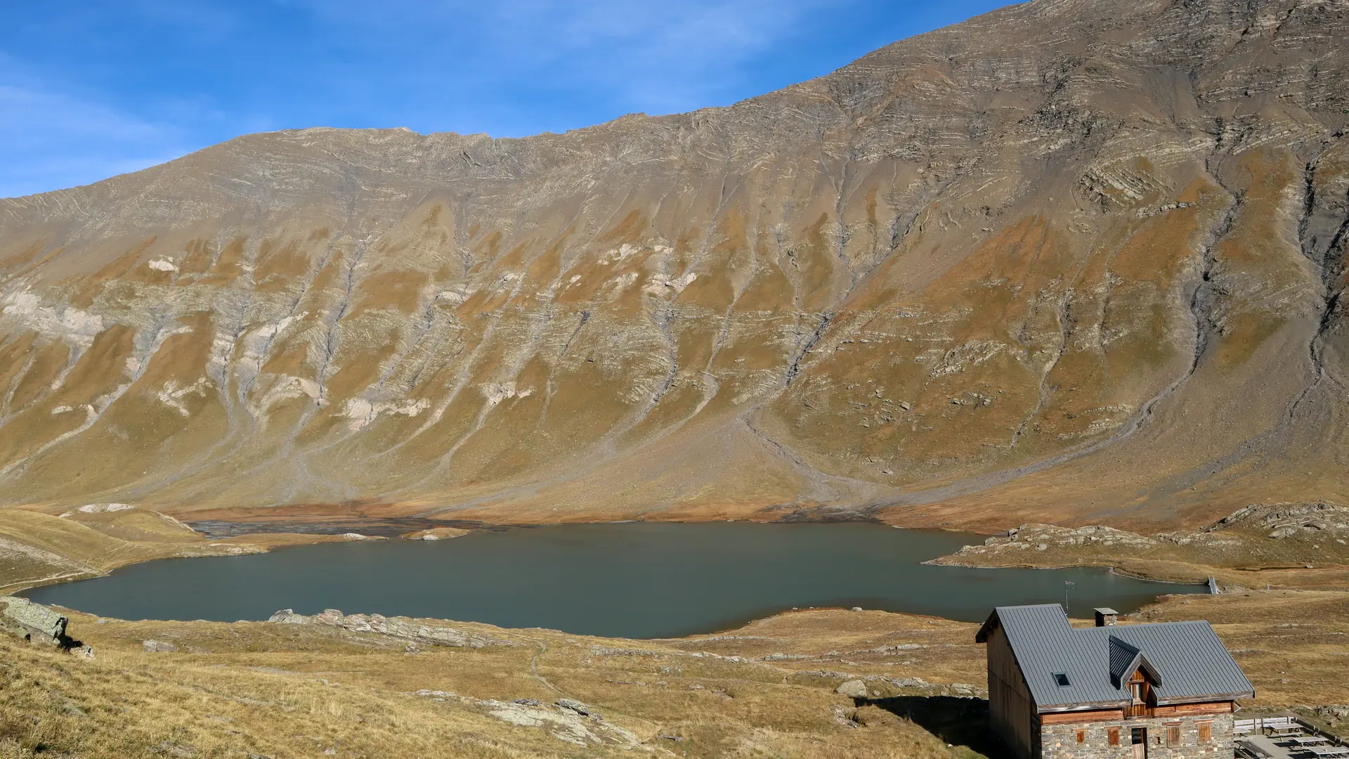
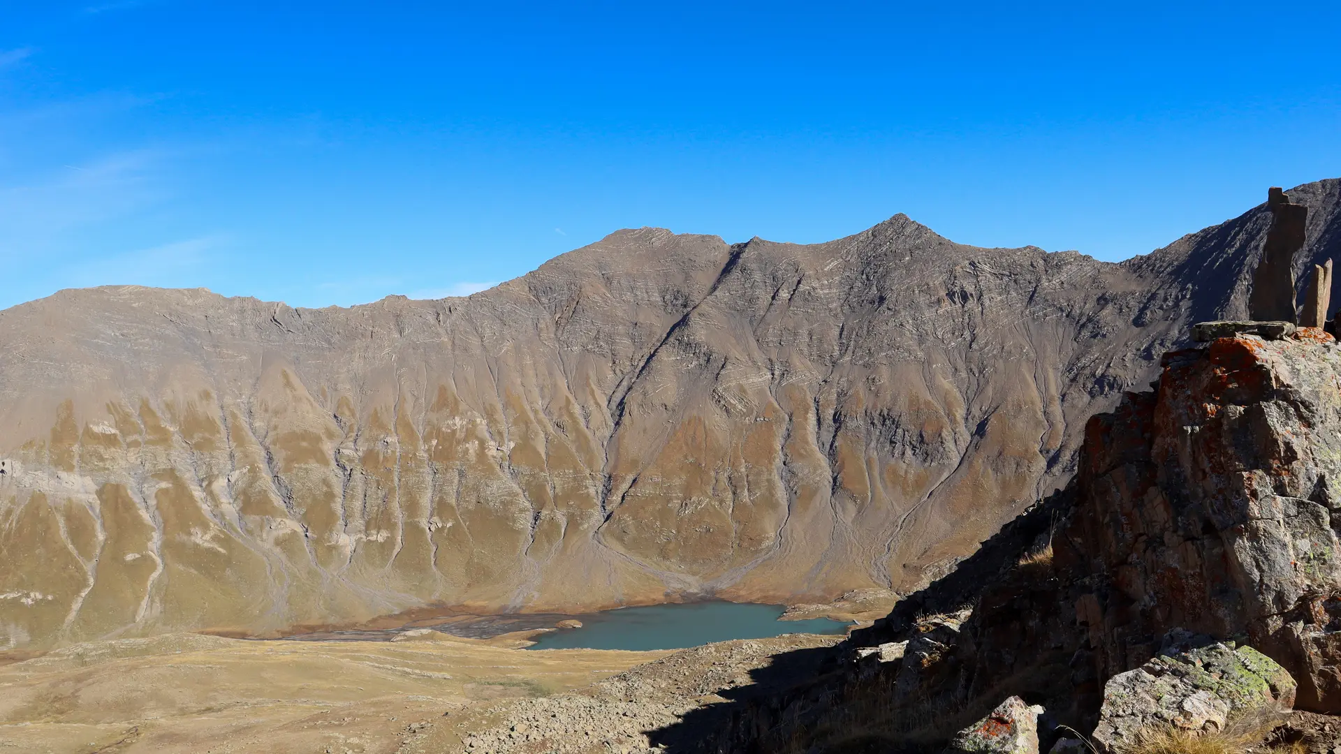
The descent to the refuge and lake takes place on the other side (east), over grassy slopes cut by small rocky outcrops.
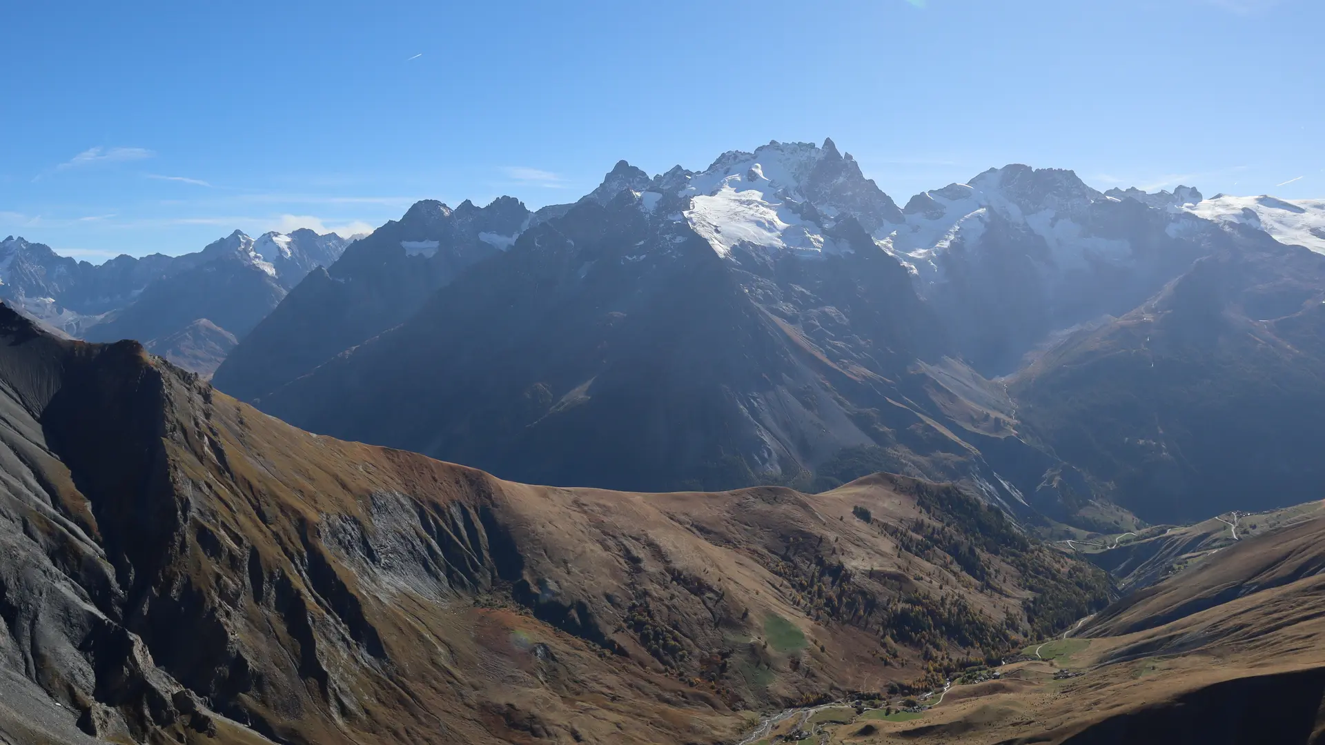
After a well-deserved break, take the steep, stony downhill path through hay meadows to the hamlets of Valfroide, then the wide track back to the starting point of the itinerary at Les Hières.
PS: it is possible to drive from Les Hières to the parking lot at Entraigues, but the junction is difficult.
Herds present.
Please note that part of the trail (above the Goléon refuge) is not marked on the IGN map.
Read more
Plain text period
From May to October, depending on weather and snow conditions.