This route crosses the Durance Valley along the water, between Briançon in the Hautes-Alpes and Avignon in the Vaucluse, over a distance of 438 km. Nine routes make up this road traced across four departments of the South Region.
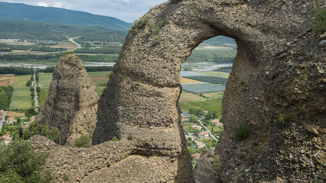
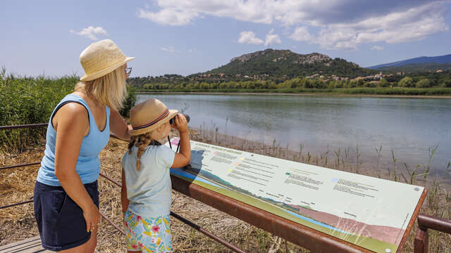
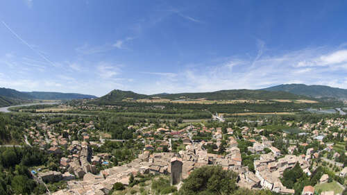
In the Alpes de Haute Provence, a stage between Sisteron and Manosque will take you through the heart of agricultural plains, through orchards and along lavender fields. An exceptional route that will allow you to discover the Haute-Provence Ornithological Reserve along the Escale lake. You will also have the pleasure of passing at the foot of the Pénitents des Mées, this geological curiosity of the Durance valley. These multi-millennial rocks are spectacular and mark the entrance to the Haute-Provence Geopark.