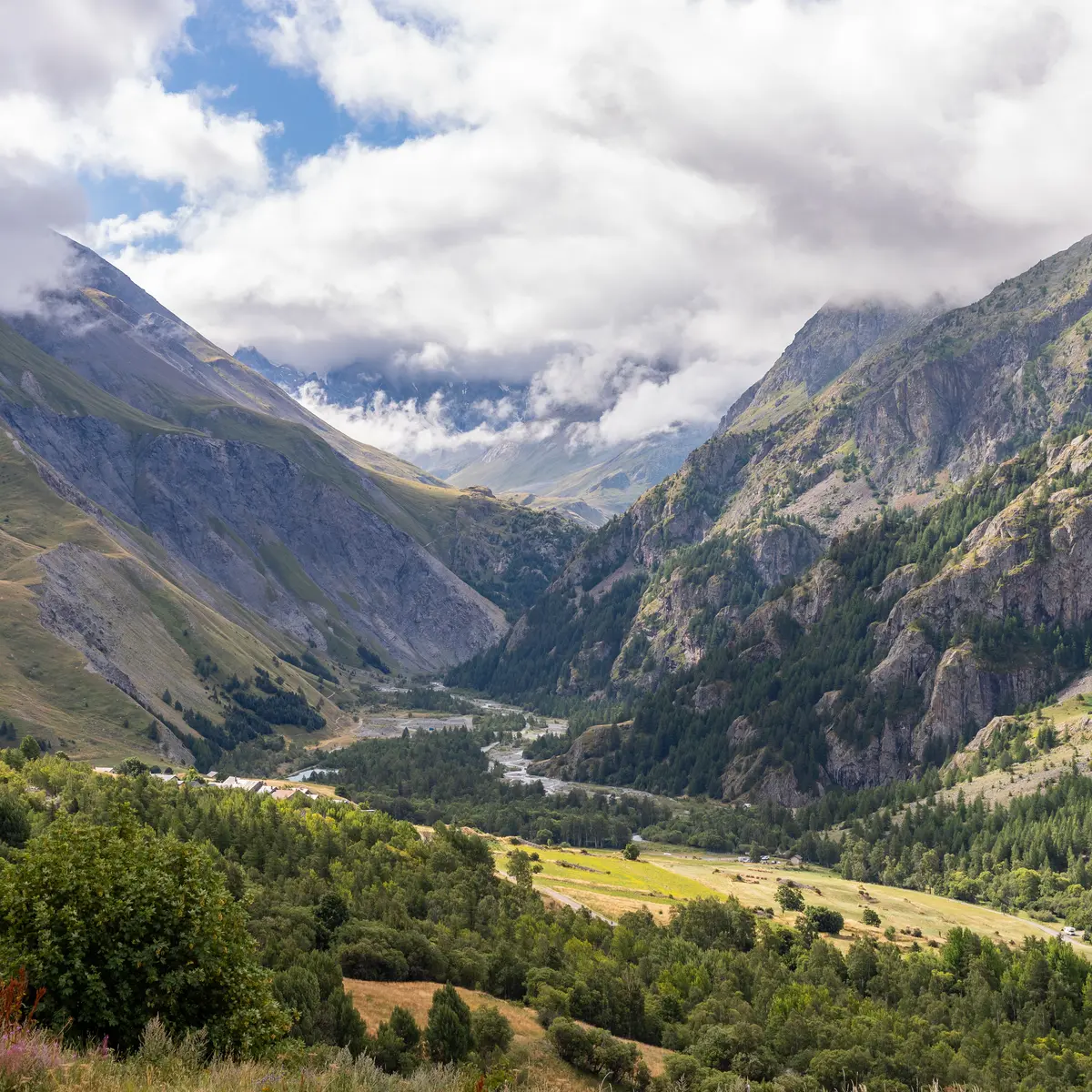
Path linking the village of La Grave to the small village of Arsine after Villar d'arène via the GR54.
From the tourist office in La Grave, follow the departmental road to the village exit in the direction of Villar d'arène.
Opposite the "Le Sérac" hotel, take the narrow road towards the arboretum.
At the foot of the slope, go straight on to cross the Romanche river and cross the bridge.
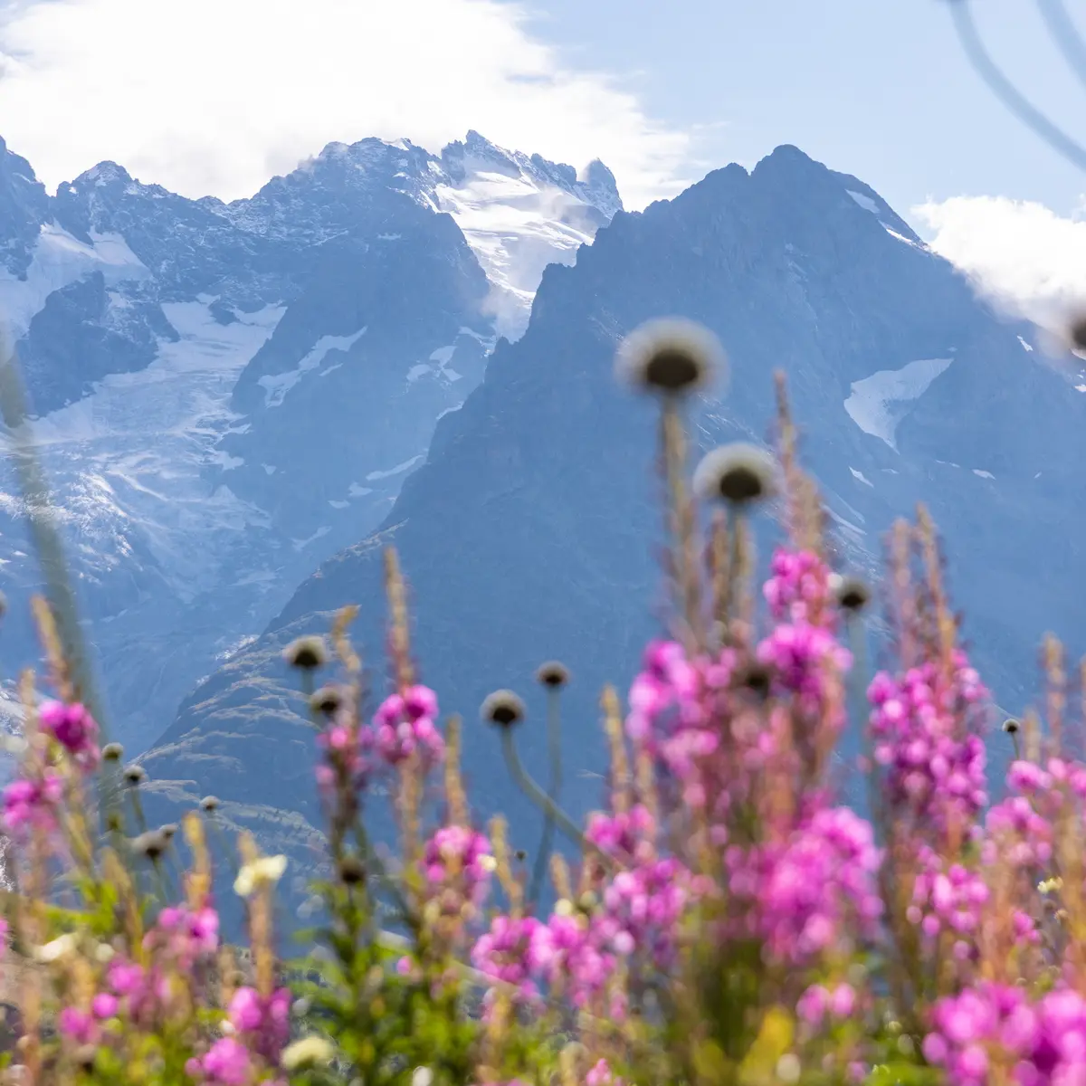
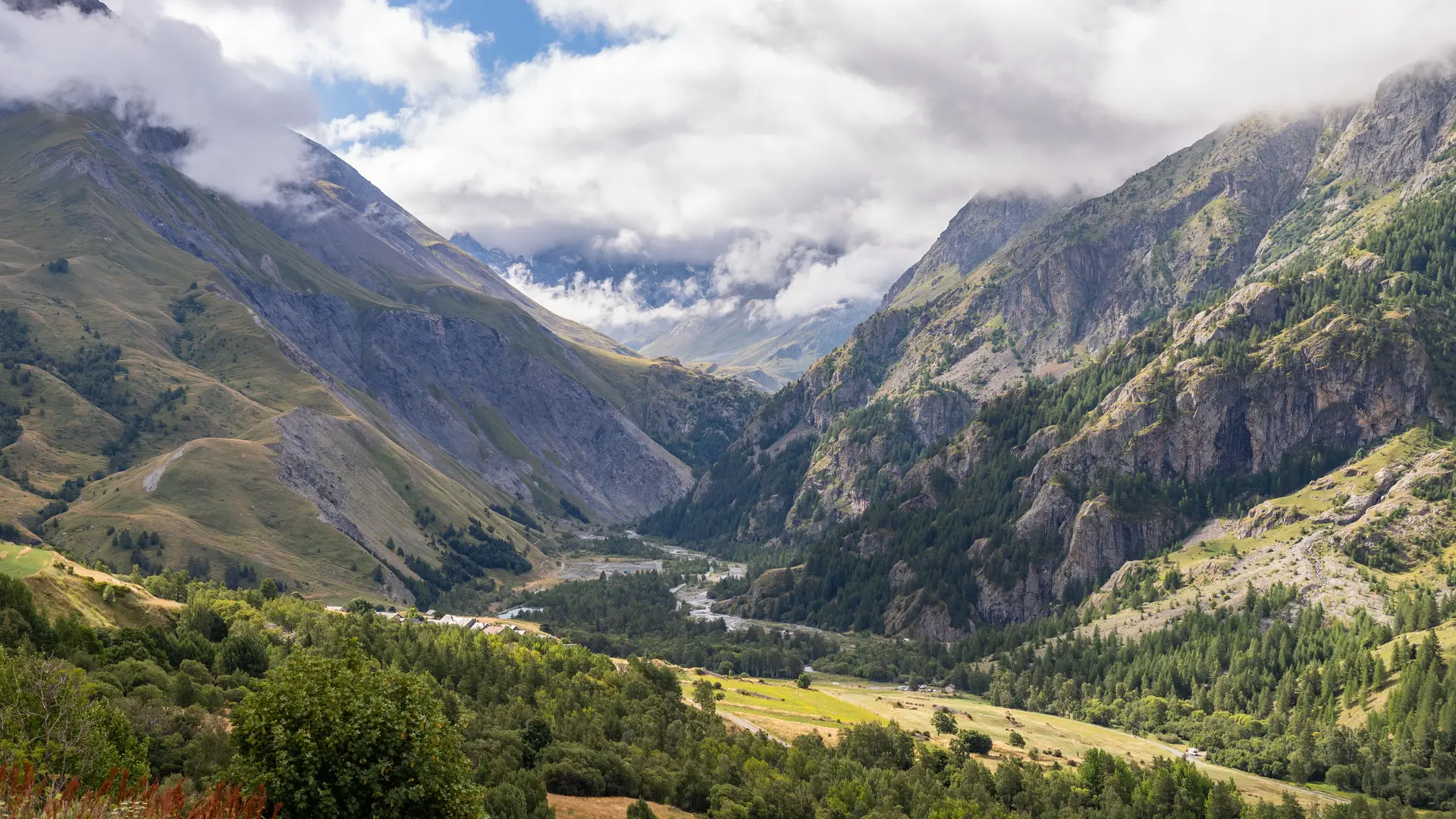
Take the path to the left of the bridge. At the fork, follow the GR50/54 up towards Les Vernois. Here, the Tabuchet glacier and the Meije dominate.
Continue, then cross the Chal d'Outre wood on a wide path.
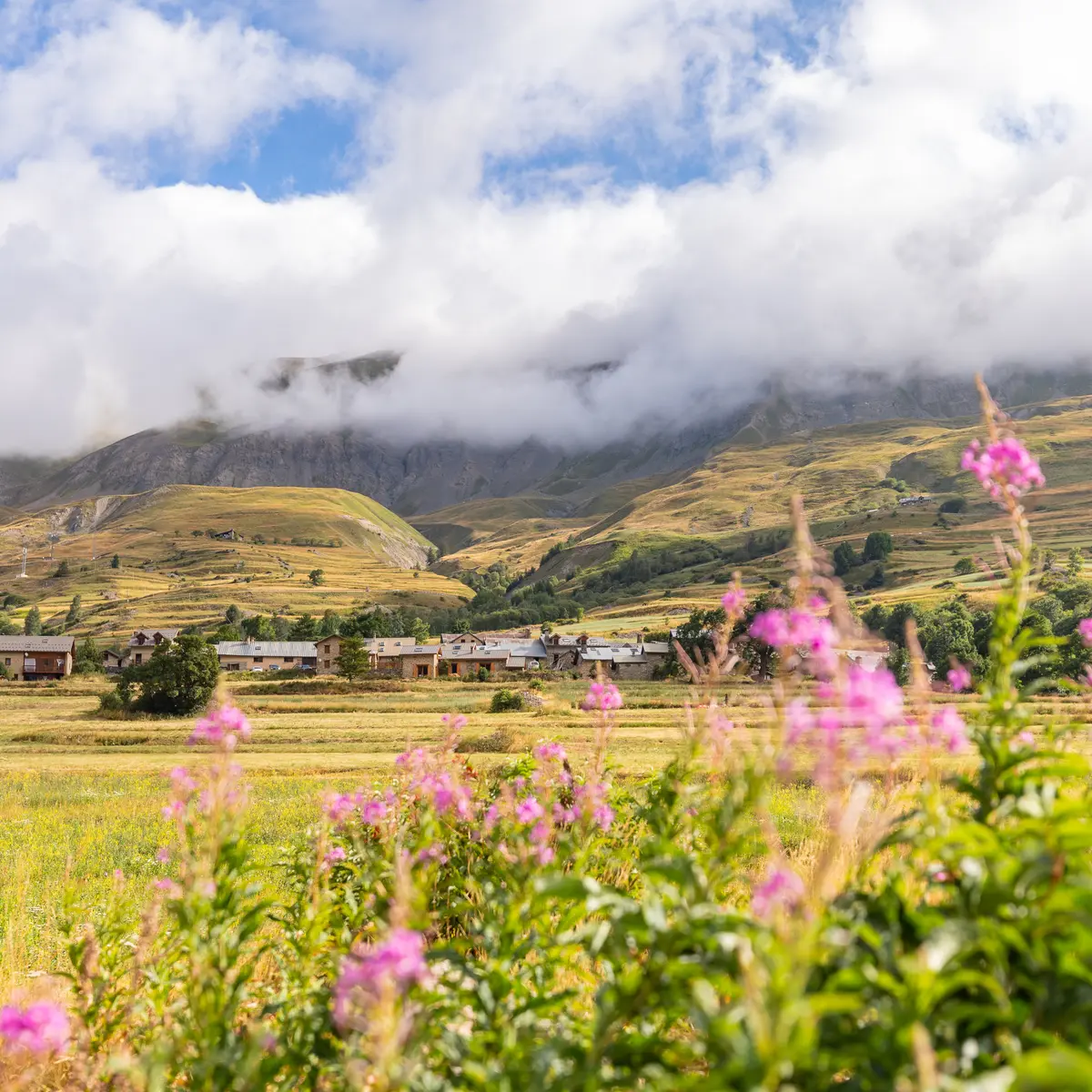
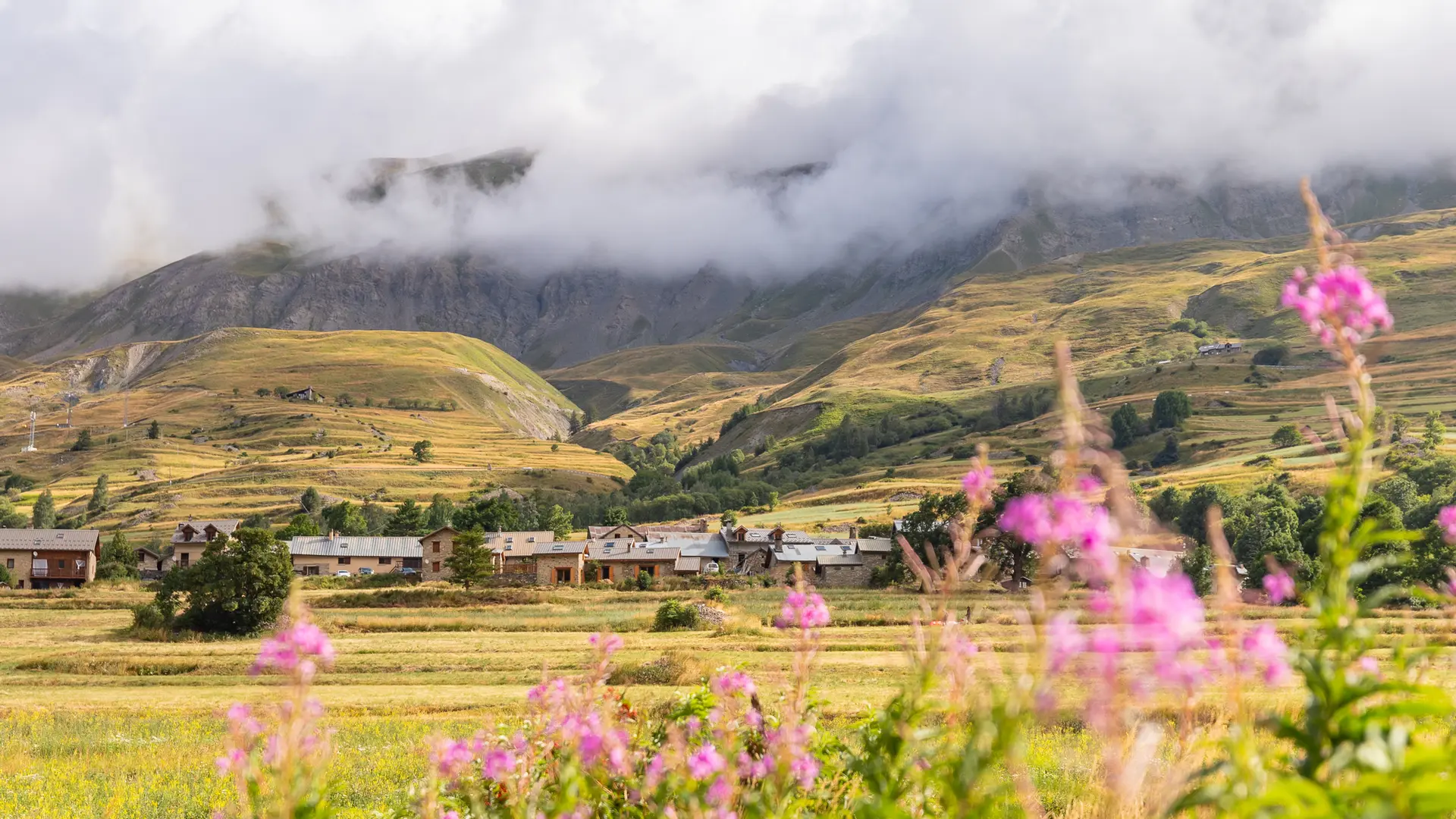
The path leads to a small bridge to enter the village of Villar d'arène, follow the GR50/54 without crossing it to continue the hike.
Continue along the Romanche for around 45 minutes.
At the "Pont des Brebis", turn left to join the small road to Arsine, near the campsite or gîte.
On the return journey, take the same route as the outward journey to Villar d'Arène, then cross the bridge over the Durance.
Pass the Eglise Saint-Martin, then follow the Romanche until you cross it again a little further on. Continue until you reach the original route.
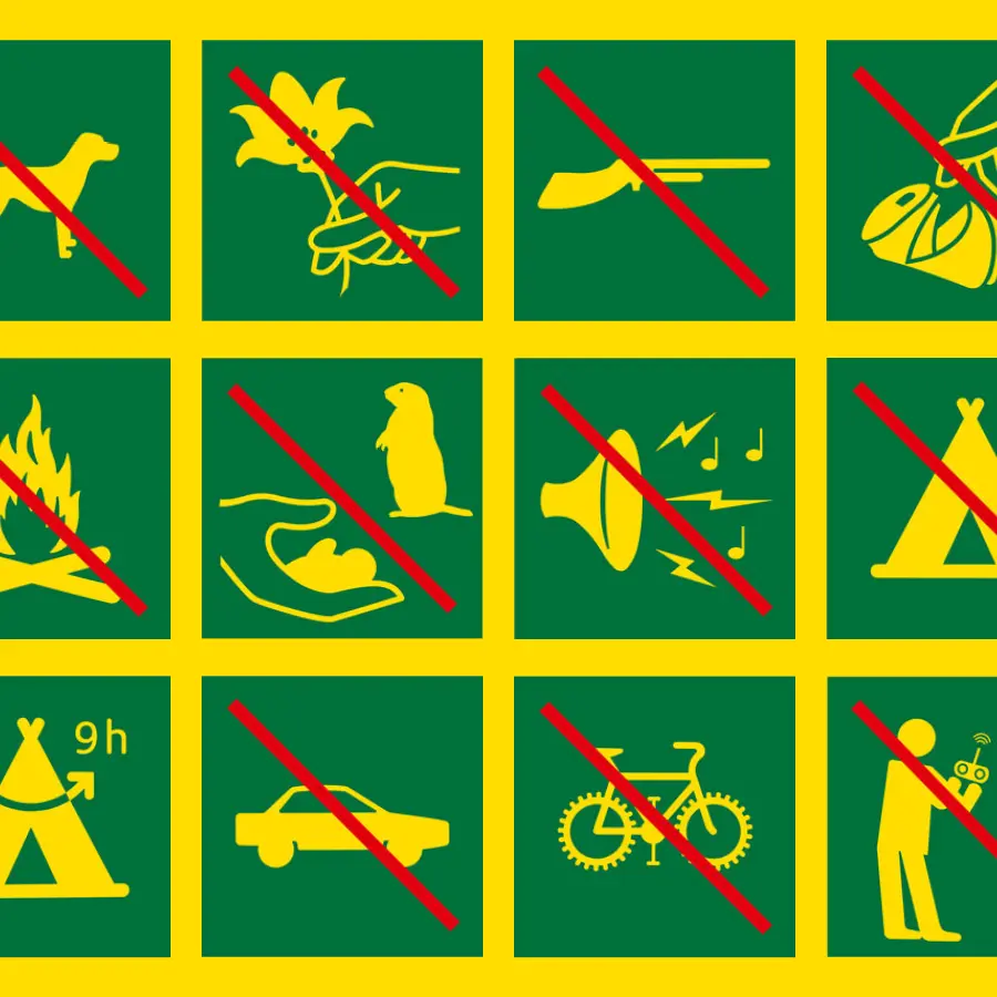
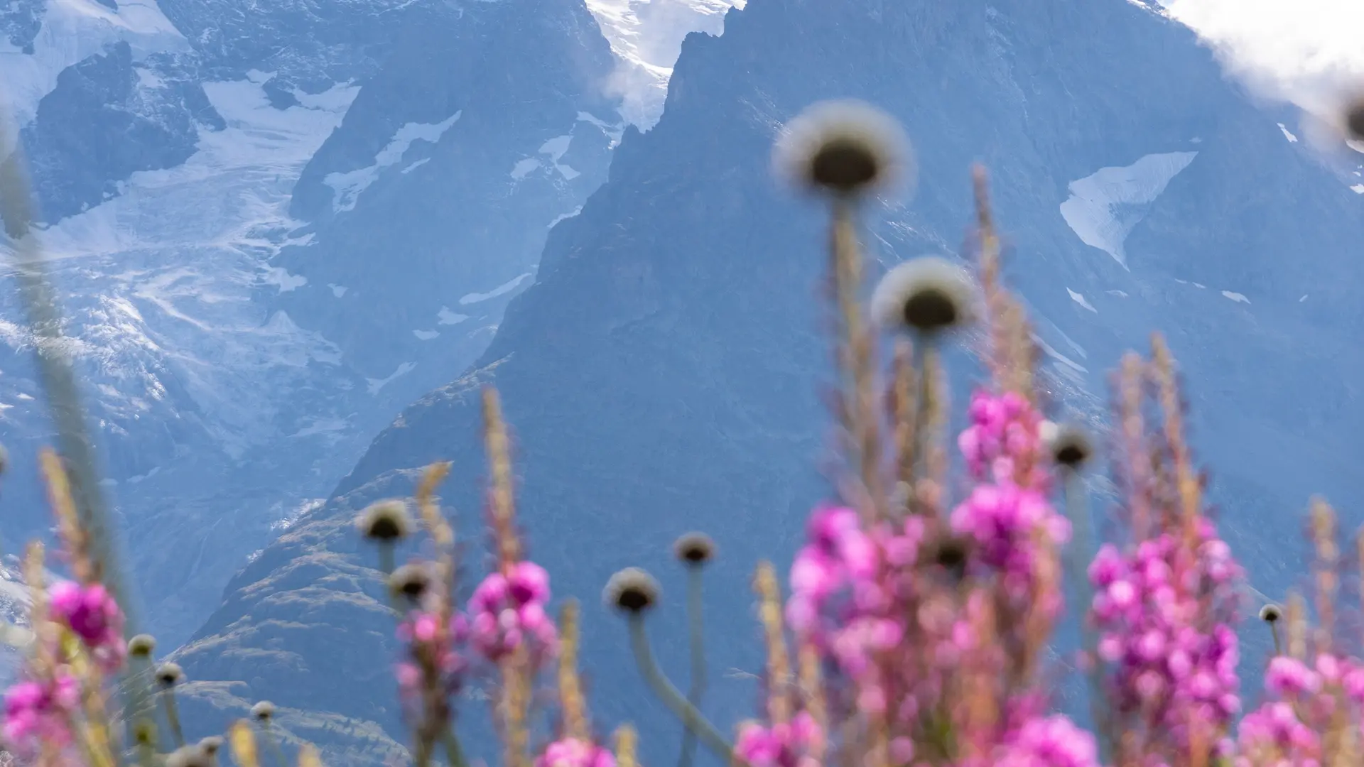
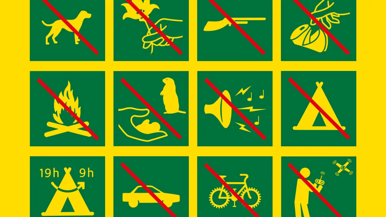
"YOU ARE HIKING IN THE HEART OF THE ECRINS NATIONAL PARK
The Écrins massif is an exceptional area, open to all, with a rare natural, cultural and landscape heritage. To protect these treasures, the heart of the park is marked with blue-white-red painted flags, where regulations must be respected. Please take note of them when planning your hike to preserve this collective asset on the ecrins-parcnational.fr website."