Tour du Grand Bérard

The Grand Bérard Tour

Sport, Pedestrian sports, Hiking itinerary in La Condamine-Châtelard
16.9 km
6h
Very difficult
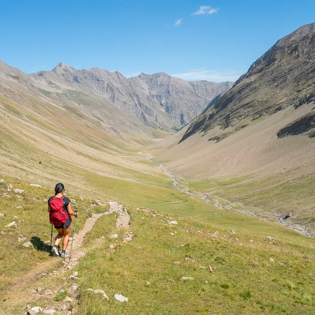
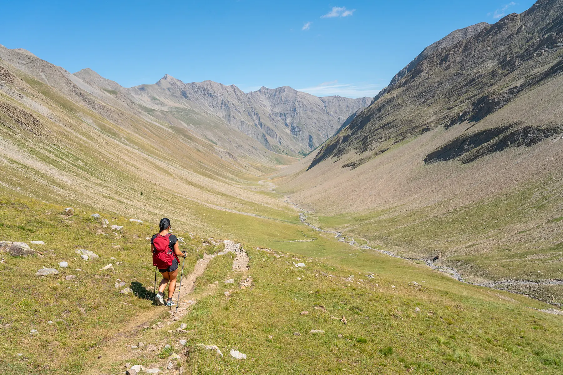
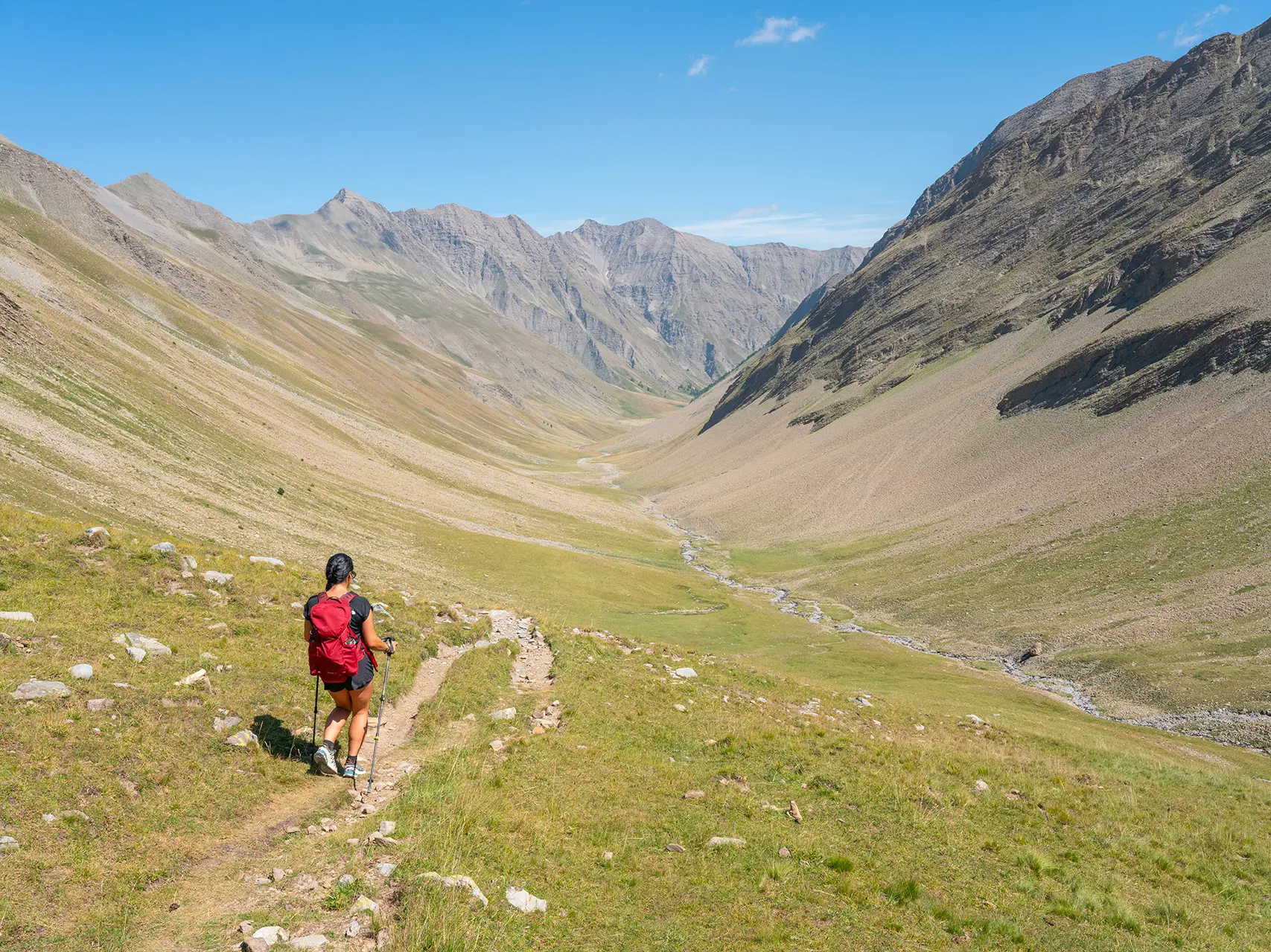
  • In the Parpaillon massif, the Grand Bérard (3,046 m) dominates two valleys with a mineral atmosphere. The typical folded cliffs contrast with the mountain pastures where transhumant herds graze.

  • From the Pont du Bérard, the route climbs up the Bérard valley on a path to the Pas du Reverdillon.

    It then descends into the pastoral Parpaillon valley.

    It follows a track suitable for vehicles from the Grand Parpaillon hut to the Pont du Bérard.
  • Accepted customers
    • Level black - very hard
970 meters of difference in height
  • Maximum altitude : 2800 m
  • Minimum altitude : 1847 m
  • Total positive elevation : 970 m
  • Total negative elevation : -970 m
  • Max positive elevation : 384 m
  • Min positive elevation : -576 m
Services
  • Services
    • Pets welcome