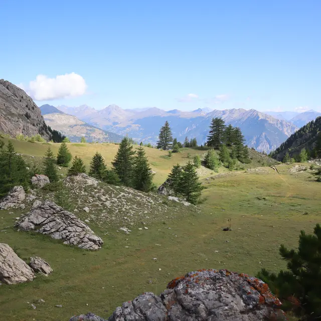
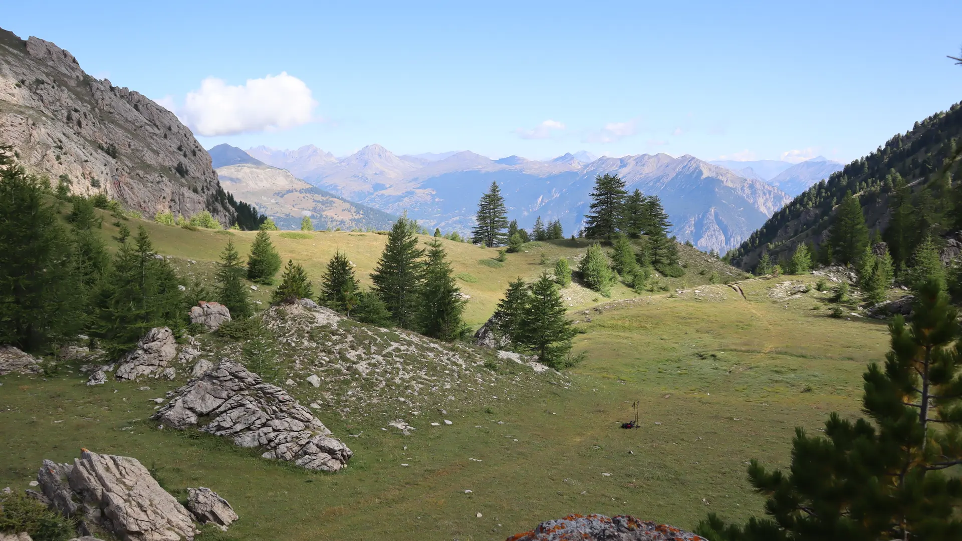
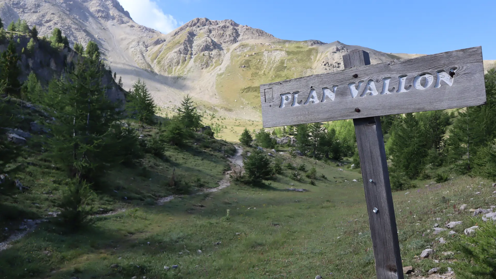
This 12 km loop trail, with an elevation gain of approximately 1,035 m, starts at the Villard-Saint-Pancrace Mountain Center. It offers a gradual immersion into the wooded heights of the municipality, passing through several iconic sites in the area: Le Clos des Prés, Plan Vallon—the highest point of the route at 2,320 meters above sea level—then Le Mélézin and Le Lauzin, before beginning a smooth descent towards the Route des Ayes.
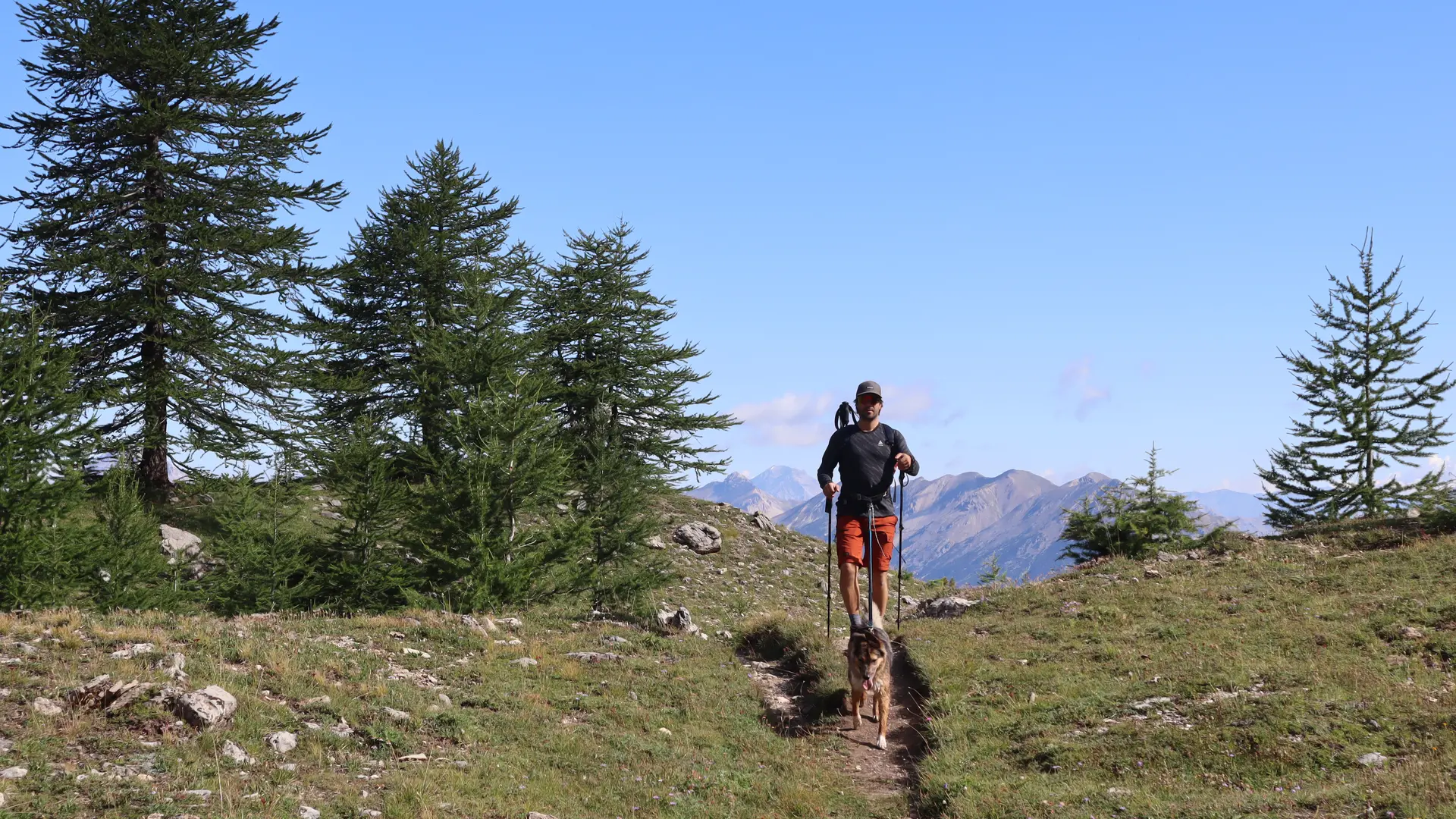
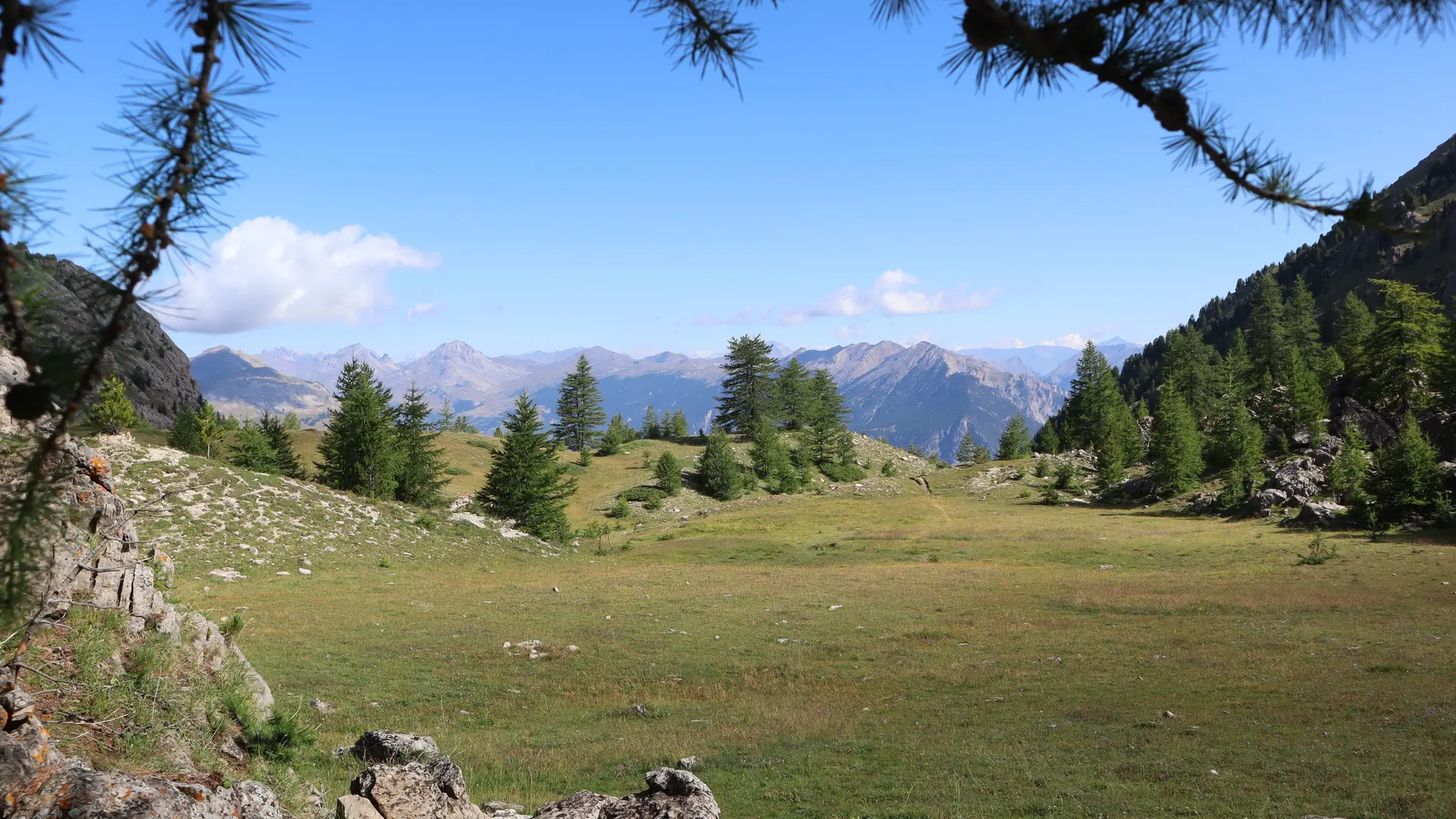
The route is distinguished by its pleasant natural environment, largely shaded, making it an ideal option during the summer months. The only exception is the last quarter of the climb to Plan Vallon, which is exposed to full sun, where the effort can be accentuated by the heat. The route mainly follows single track trails, which are not very technical and mostly dirt. There are a few roots in places, but the passages remain smooth and without major difficulty.
The profile is generally balanced, with steady climbs, hilly sections, and effort well distributed throughout the route. The most challenging section is in the last quarter of the climb to Plan Vallon, where the elevation gain is more pronounced and the sun exposure is stronger. The loop therefore presents a certain degree of difficulty for hikers.
Read more