Tips
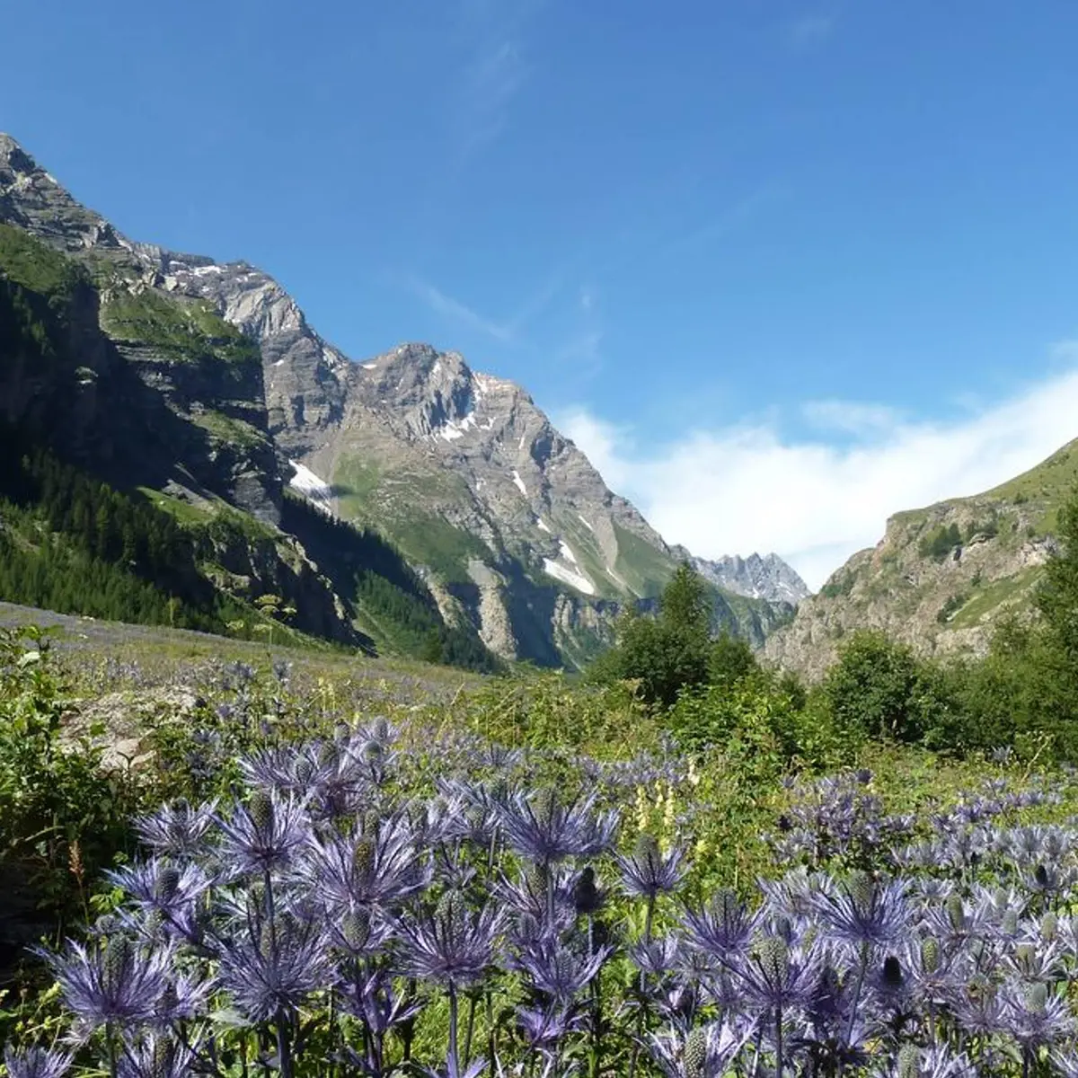
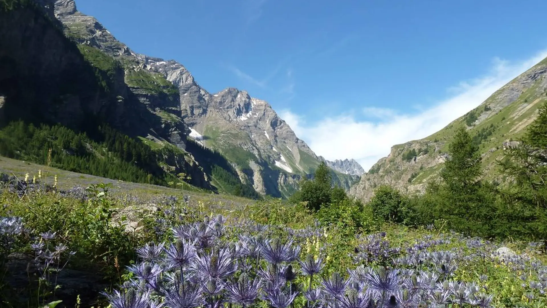
The carpark is two steps away from the Deslioures nature reserve, the biggest European site for The Queen of the Alps (Alpine Sea Holly), a protected plant. It usually flowers at the end of June and the beginning of August. It is forbidden to pick this plant.
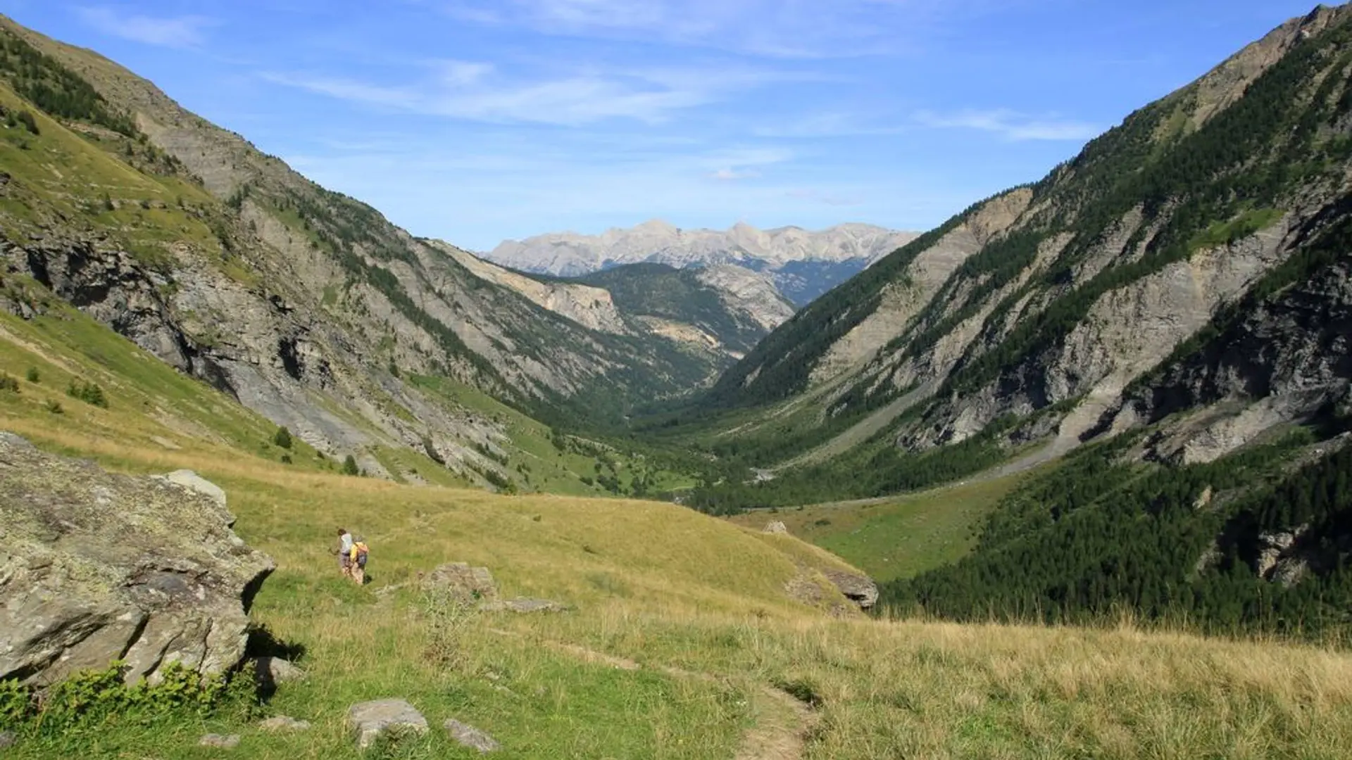
Is in the midst of the park : The national park is an unrestricted natural area but subjected to regulations which must be known by all visitors.
Herd protection dogs : In mountain pastures, protection dogs are there to protect the herds from predators (wolves, etc.).When I hike I adapt my behavior by going around the herd and pausing for the dog to identify me.Find out more about the actions to adopt with the article "Protection dogs: a context and actions to adopt".Tell us about your meeting by answering this survey.