This trail route forms a 15 km loop with a positive ascent of around 760 m, starting from the Guisane parking lot near the children's home. It offers an interesting alternation between sustained effort at the start of the route and more rolling phases in the second part.
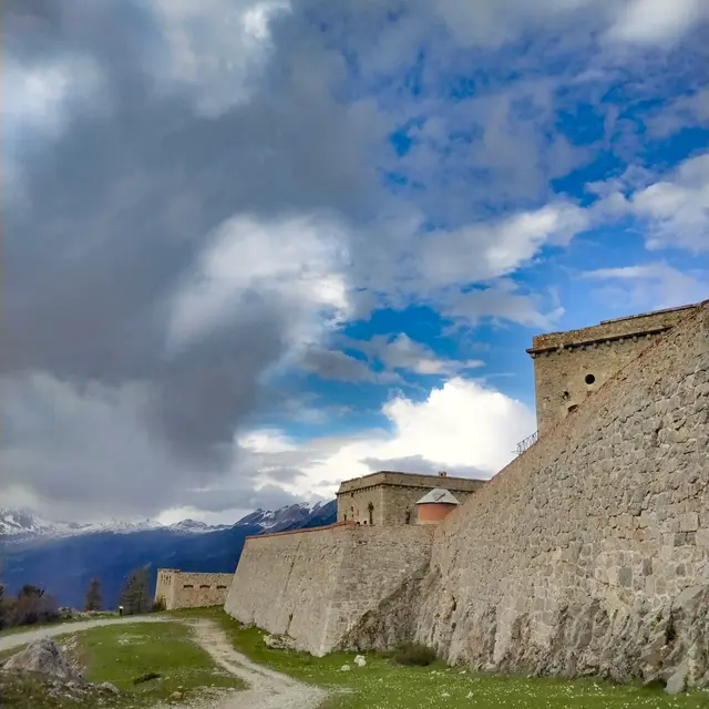
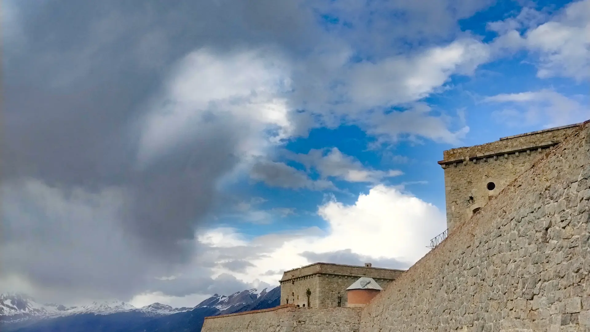
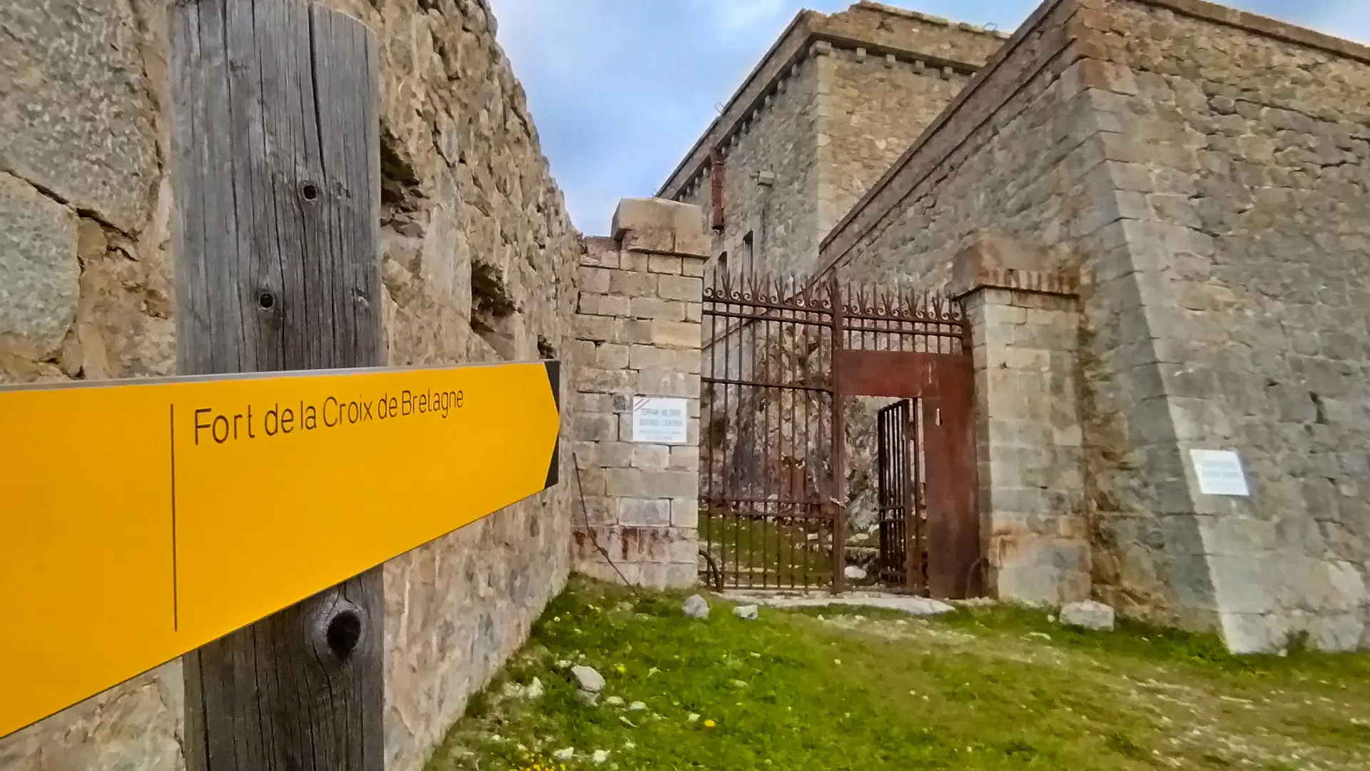
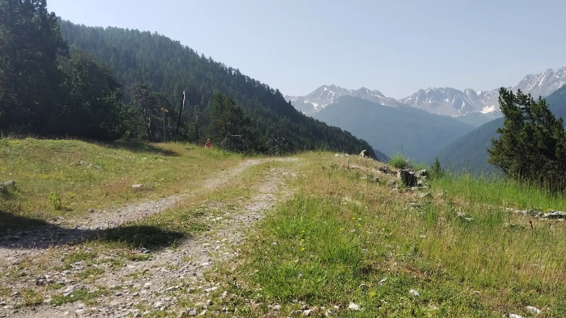
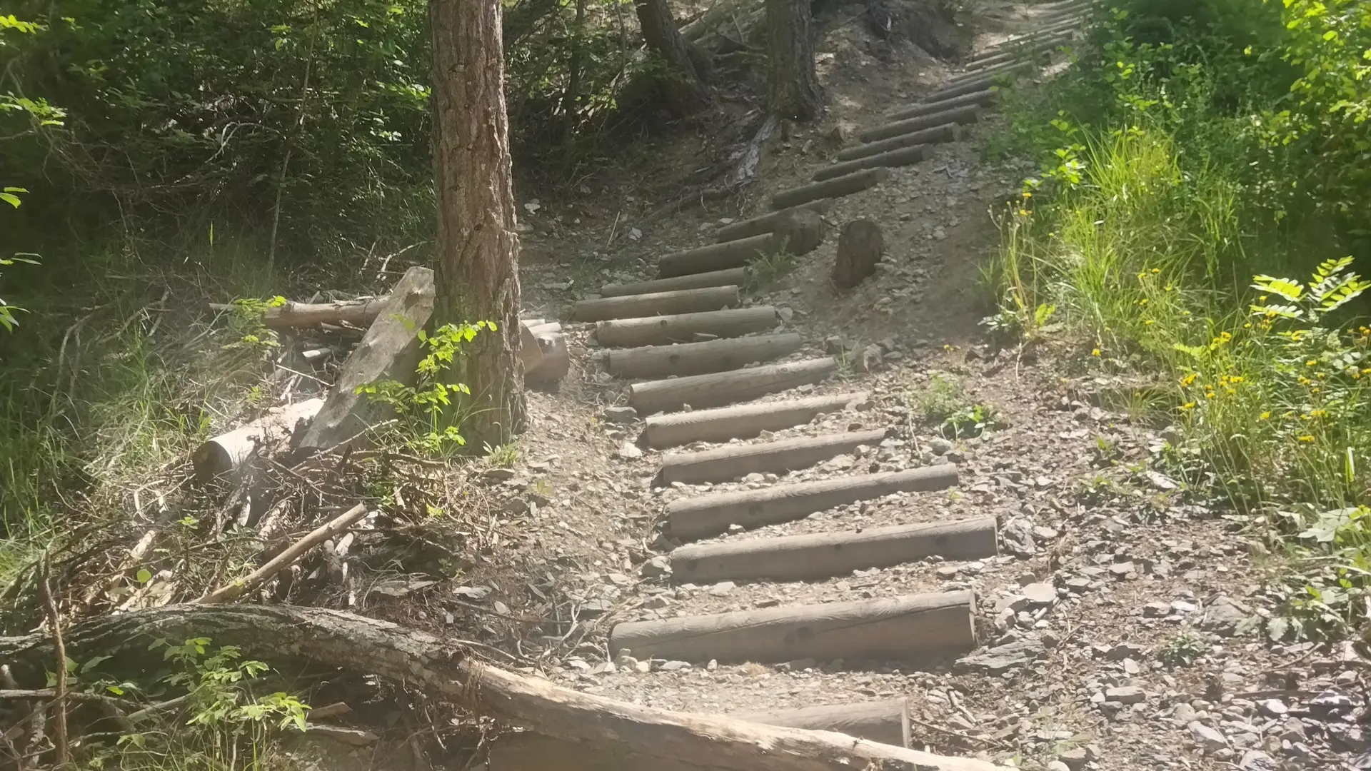
The first half of the route takes you up to the Croix de Bretagne fort, a landmark in the area. This ascent takes place on the old military road, a wide, stony, steady but demanding path that accounts for the majority of the climb. This is the most physical part of the route, with 7.5 km of continuous, well-marked ascent.
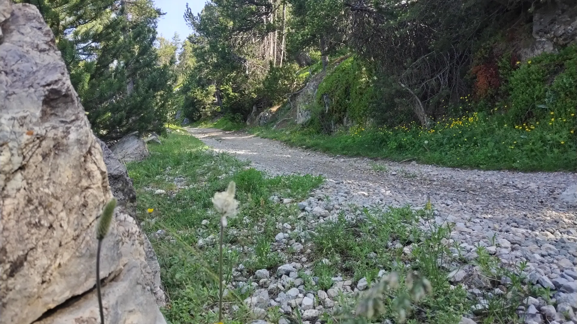
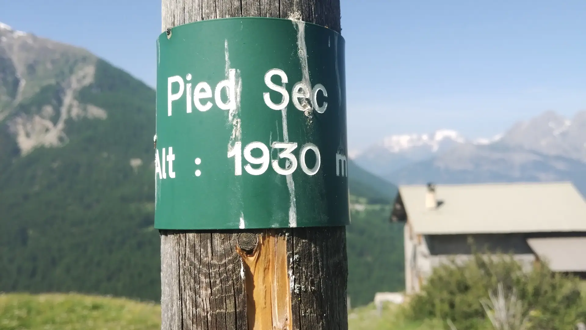
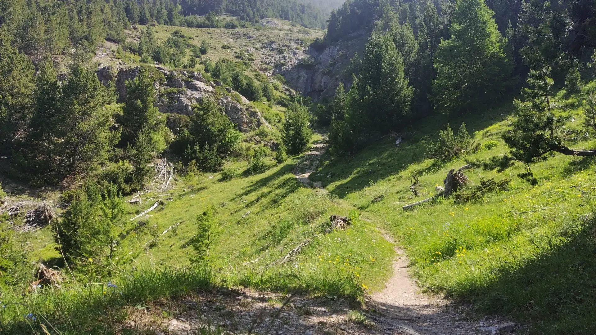
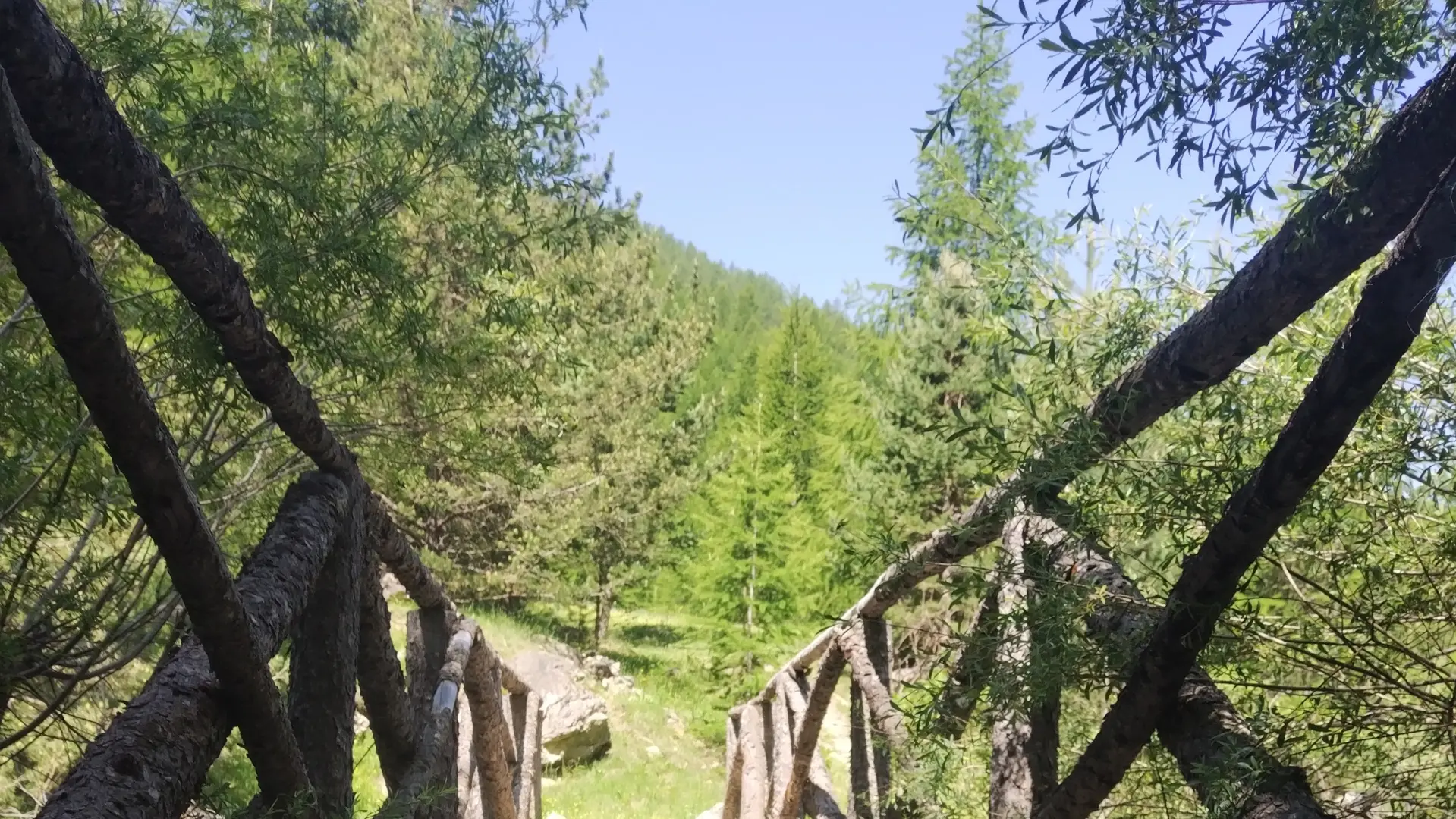
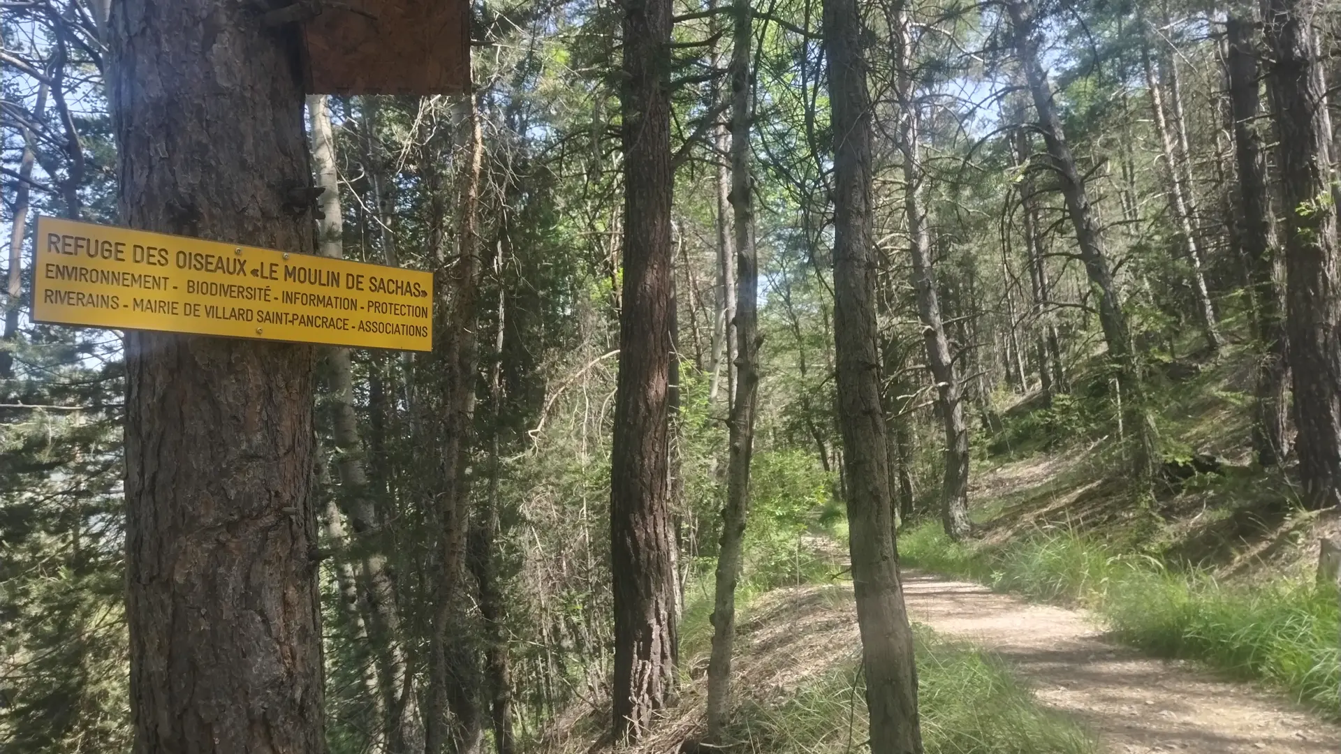
The descent then takes a narrower path through the locality of "Pied Sec", joining the torrent des Ayes in a more forested setting. The route then briefly follows the route des Ayes before forking right at the Chapelle Saint-Laurent. It then continues towards the Saint-Pancrace chapel in the forest, beside a canal, before completing the circuit with a climb back to the starting point.
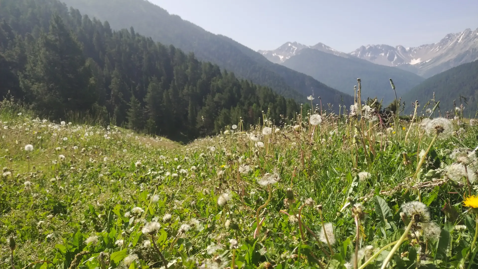
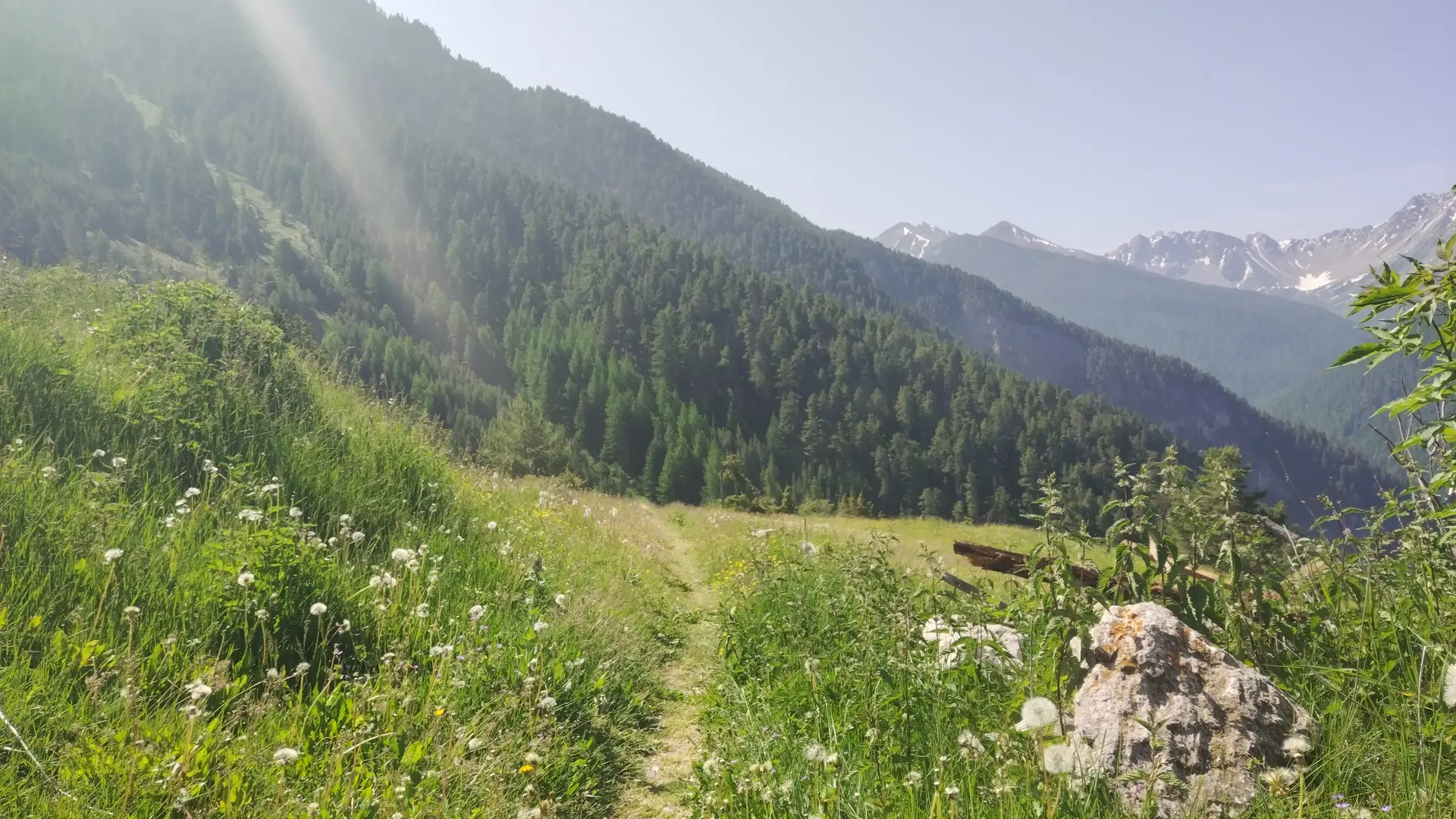
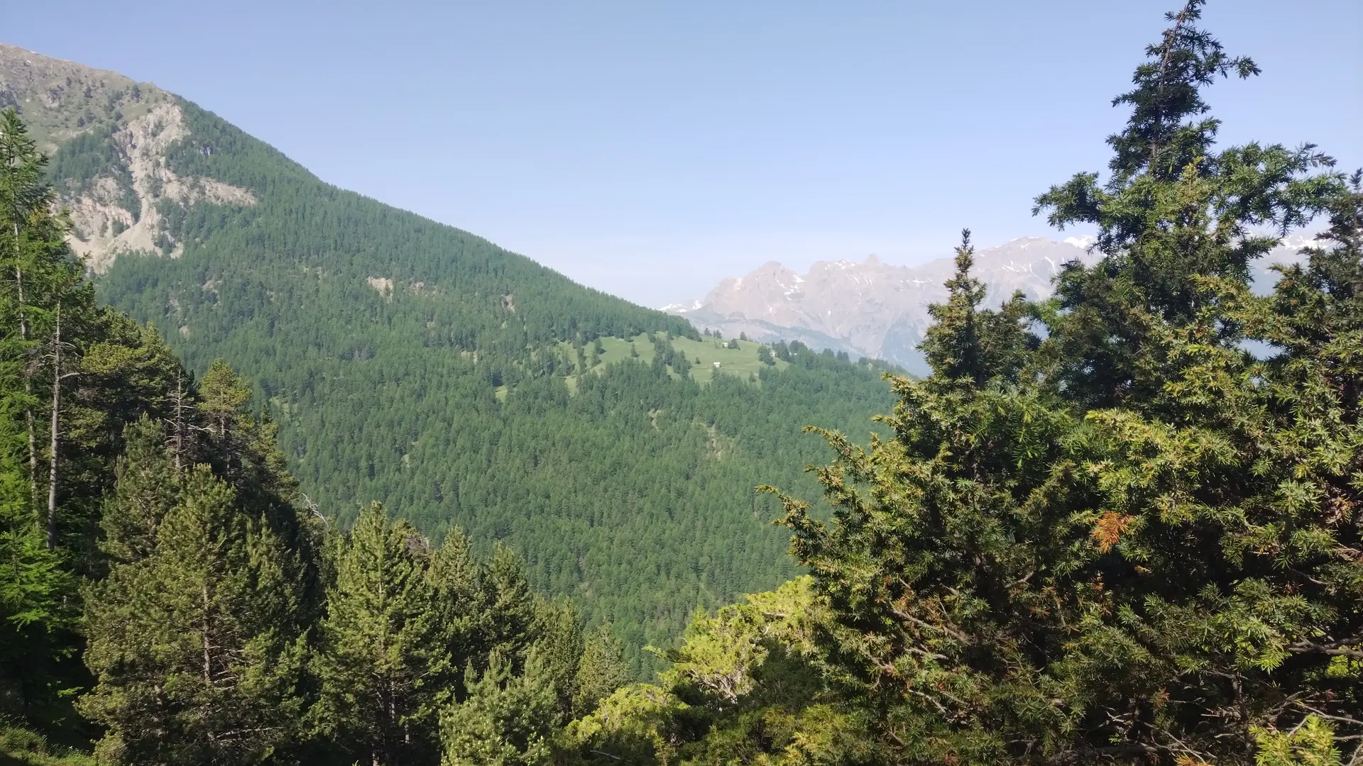
This route offers a wide variety of terrain and atmospheres: large exposed trails at high altitude, singles in the undergrowth, torrent-side passages, mountain pastures in full bloom in season, and built heritage along the way. It is classified as an intermediate level trail, ideal for trail runners wishing to tackle a sustained ascent followed by a smoother return. The last section has a slight uphill section of around one kilometer, to be taken into account according to your level of fatigue.
Read more