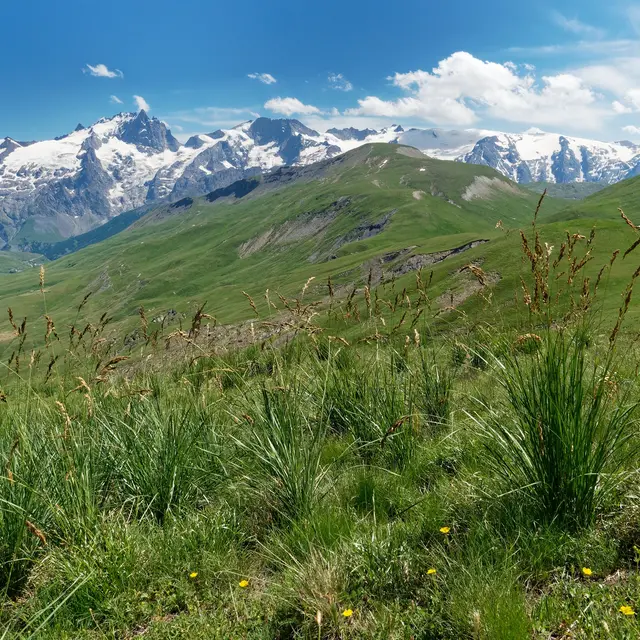
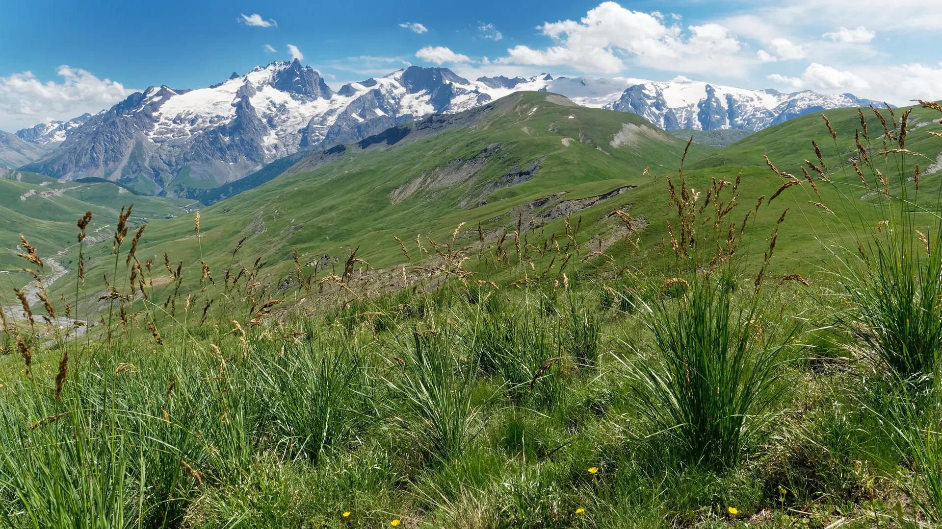
From here, you can see the Grandes Rousses massif, the Goléon and, of course, the entire north face of the Ecrins National Park. The summit is also a winter classic for ski tourers.
From the starting point at Le Chazelet (1770 m), head down towards the village along the parking lot. At the first junction, don't go up into the village, but take a right-hand hairpin turn towards the foot of the ski lifts. At the second junction, keep to the side of the road (do not descend towards the torrent).
Continue along the wide track and at the next junction, turn left and cross the torrent at the "pont de la mine" (old silver-lead mine).
Climb up the wide winding road before reaching the Querellé hillock. Follow the good track, then after about 2 km, fork left towards the Plaquejoue ruins (1985 m).
From here, turn left onto the tractor track, then climb steeply up the slope, turning slightly left to reach the ruins (lieu-dit La Selle).
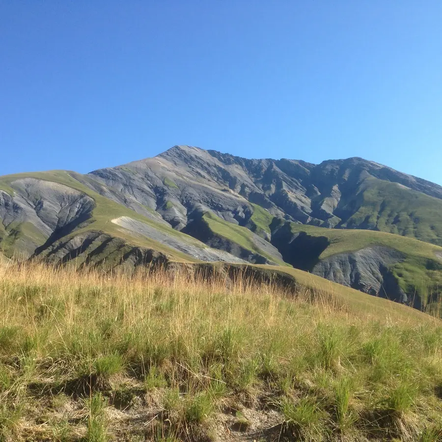
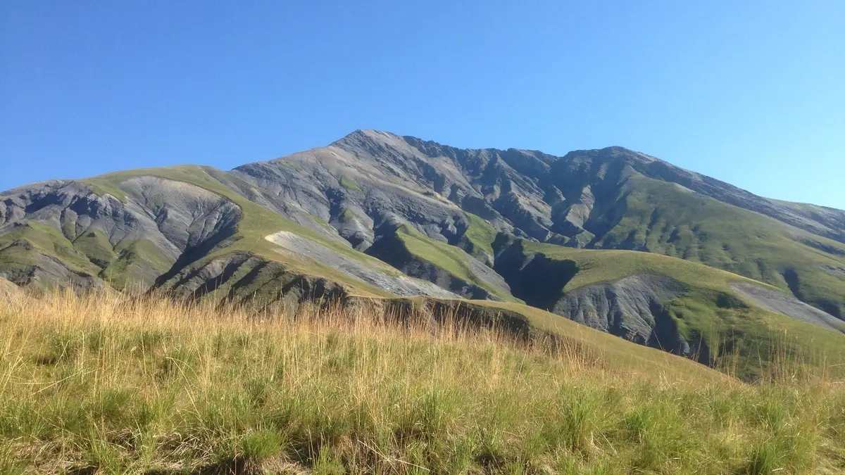
From this point, the Berche is in sight, forming a notch in the broad schist wall. Follow the posts and cairns towards the pass (2386 m).
Follow the slope along the shale wall to the right, leaving the Petit Têt on your left to reach the summit.
The descent is on the other side (north), following the ridge that leads to the Rachas stream. At this point you join the itinerary for the tour of the Plateau d'Emparis (itinerary no. 15).
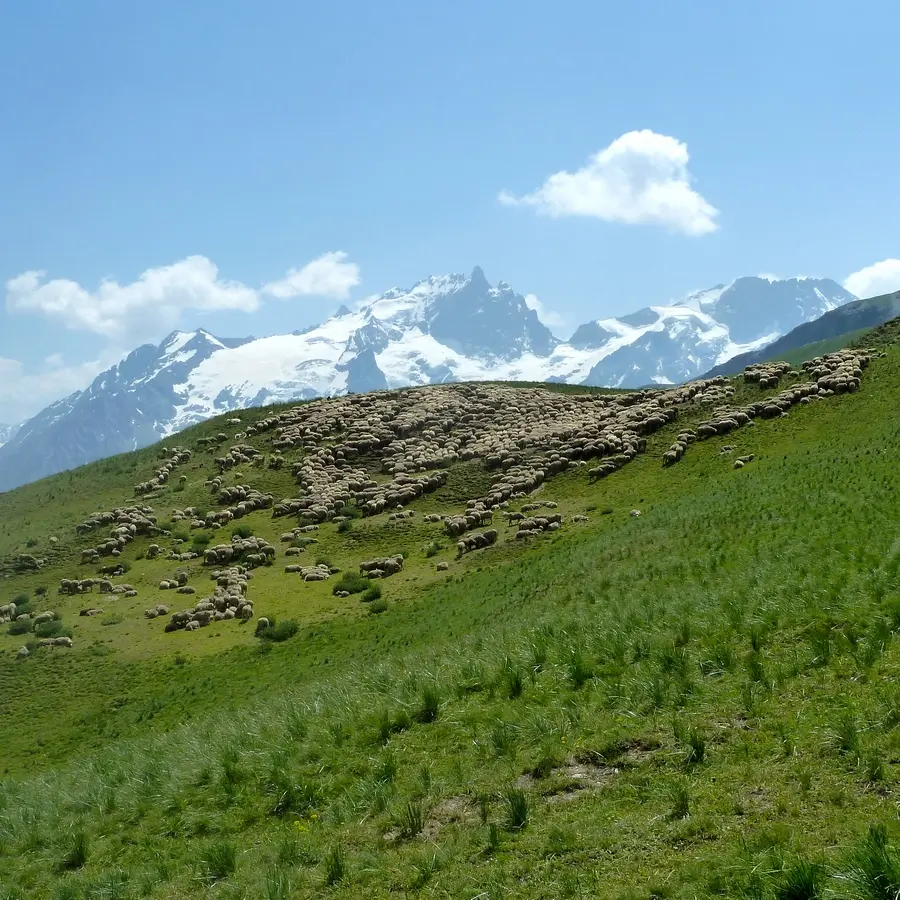
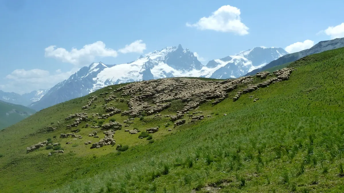
Cross the stream, pass by the small white sheepfold, known as Cabanote, then through the meadows, follow a path (cairns) to the Buffe hut at the foot of the Pic du Mas de la Grave.
From here, follow a good track all the way down the vallon de la Buffe. Pass the Croix de Tuf and cross the three hamlets of Les Rivets.
Cross the Pertus bridge and climb up to Le Chazelet on a wide track to reach the starting point of the itinerary.
Read more