Formerly known as "La Haute Trace", this Nordic hiking trail has been relaunched by an association of Queyras accommodation providers, keen to promote this cross-border Nordic trail. Discover this 115 km long, signposted but untracked trail!
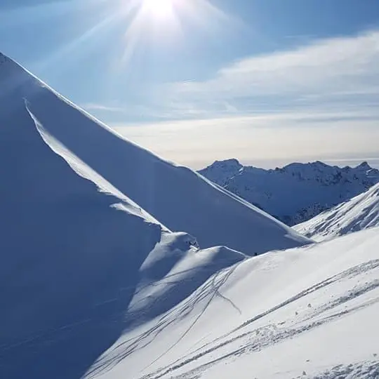
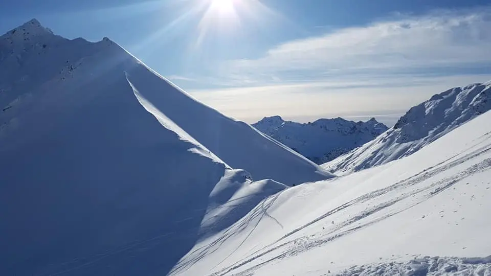
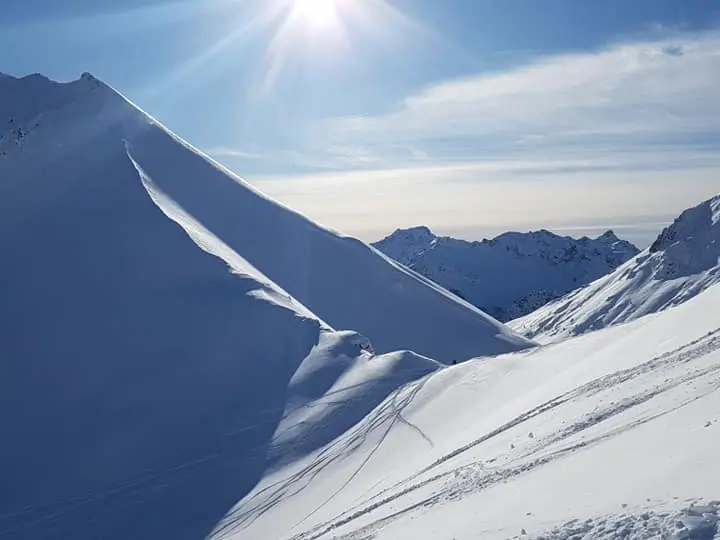
This "Pays des Escartons" combines the emblematic landscapes of the Queyras, the Italian Haut Val de Suse and the Briançonnais. It offers hikers the chance to gain height, with gradual ascents that invite you to climb to higher altitudes. The transitions between valleys, mountain pastures and pass crossings are smooth. Access to altitudes close to 2,000 meters is achieved without extreme commitment, yet still marked by a feeling of altitude. This impression is heightened by the presence of permanent villages and alpine chalets, as in Saint-Véran and the Fonts de Cervières valley. Spectacular views of the high peaks of the Écrins massif add a unique high-mountain dimension.
The itinerary totals 115 km and 2,200 m of ascent, and includes the following stages in either direction:
- Saint-Véran-Souliers
- Souliers-Cervières via Arvieux and Col Izoard
- Cervières-Vallée de Thures (Italy)
- Thures Valley (Italy) - Clarée Valley (Névache, France)
- Névache - Buffère (Haute-Clarée)
Difficulties encountered :
Safety:
In terms of safety, there are two key sectors to bear in mind: the Col Izoard with the Casse Déserte and the Cols Bousson and Chabaud. In addition to the obligatory DVA-shovel-probe trypique, you'll need to make sure of the snow conditions for these passes.
Physical fitness :
Finally, you'll need to be in good physical condition to cope with the cold, with stages lasting 4 to 5 hours a day, and with carrying a rucksack or pulka.
Equipment :
The use of Nordic touring skis (wide cross-country skis with edges and sealskins) is highly recommended, as you'll be skiing in snow of very variable quality (cross-country or alpine trails, off-track).
Source : www.skirandonneenordique.com
In terms of safety, there are two key sectors to bear in mind: the Col Izoard with the Casse Déserte and the Cols Bousson and Chabaud. In addition to the obligatory DVA-shovel-probe trypique, you'll need to make sure of the snow conditions for these passes.
Read more