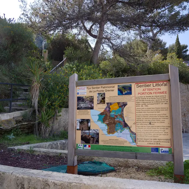
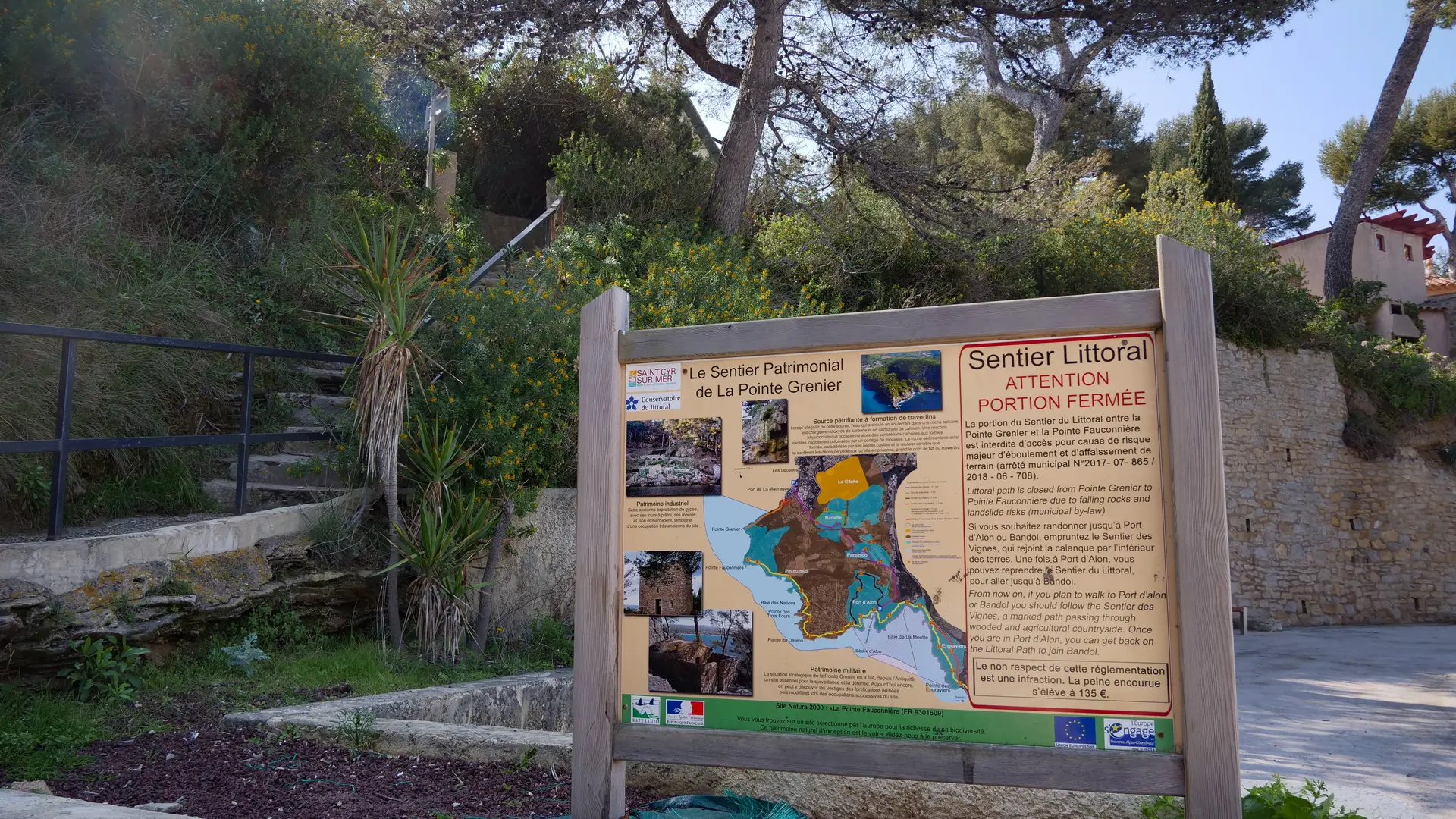
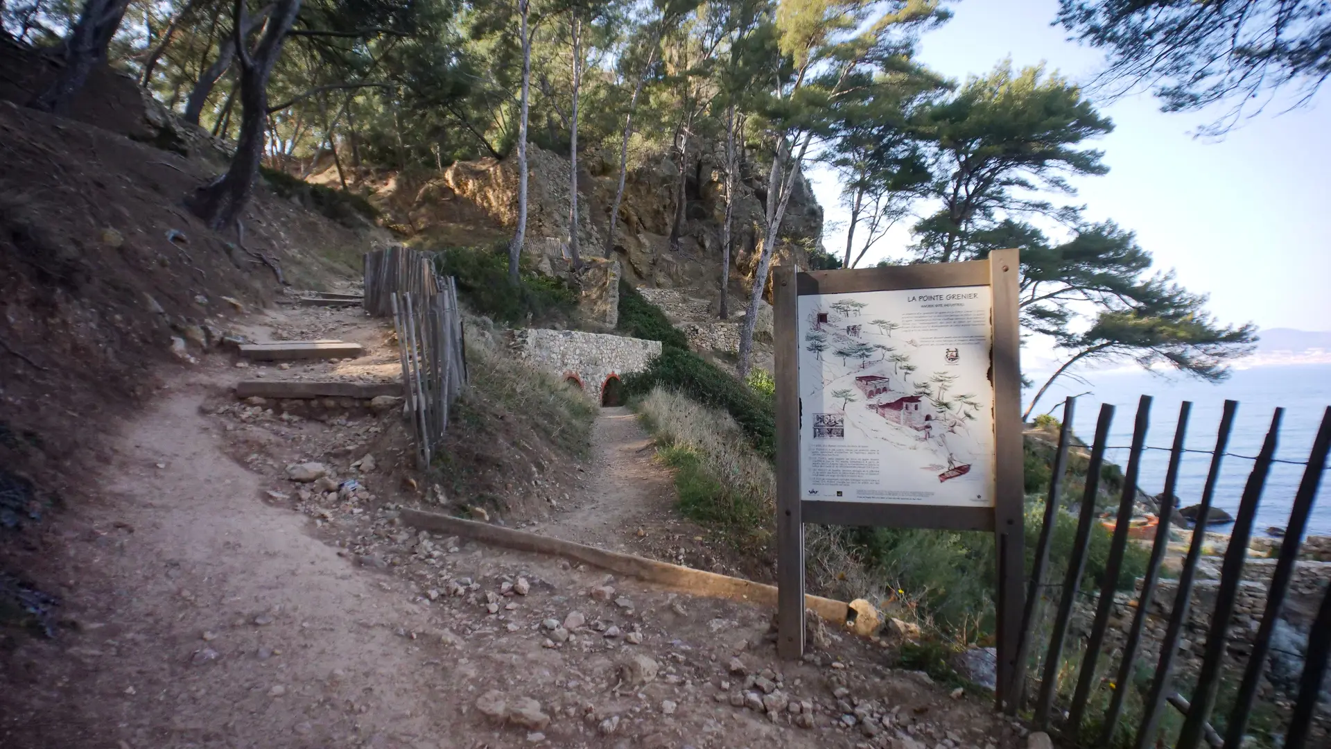
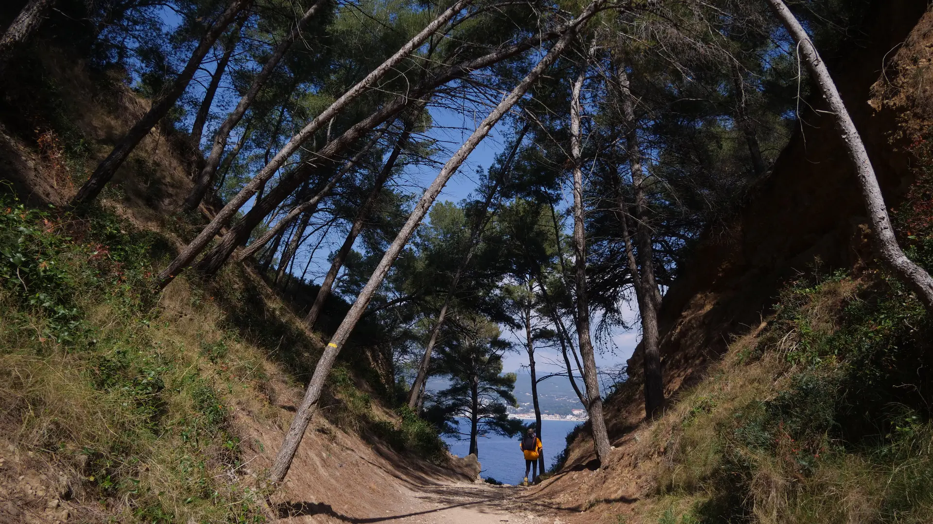
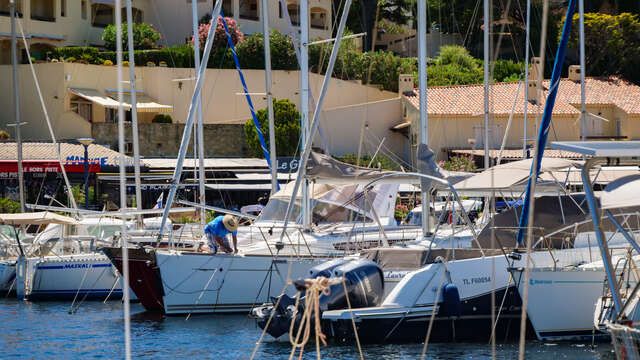
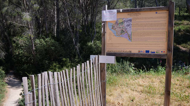
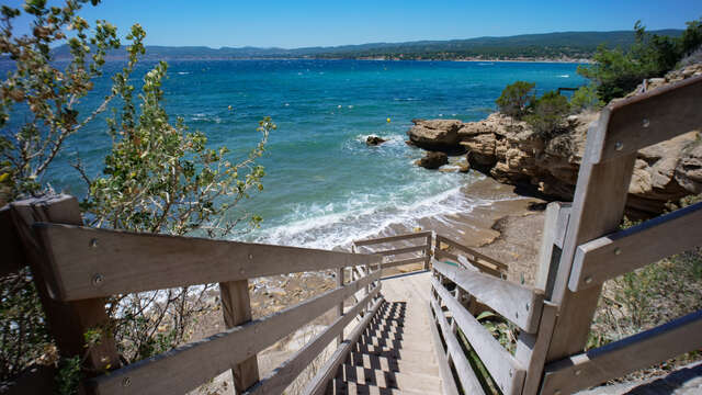
The start of this short, discovery-filled hike is at the end of the Madrague harbor (see sign with trail description).
Hiking itinerary available from the Saint-Cyr-sur-Mer Tourist Office.
The Pointe Grenier Heritage Trail
Duration 20 minutes
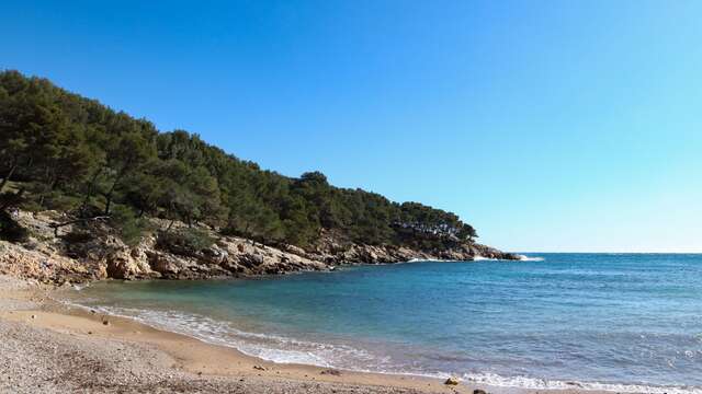
Take the stairs and follow the small passage on the right, between the houses. Descend to Reinette beach and continue along the shore.
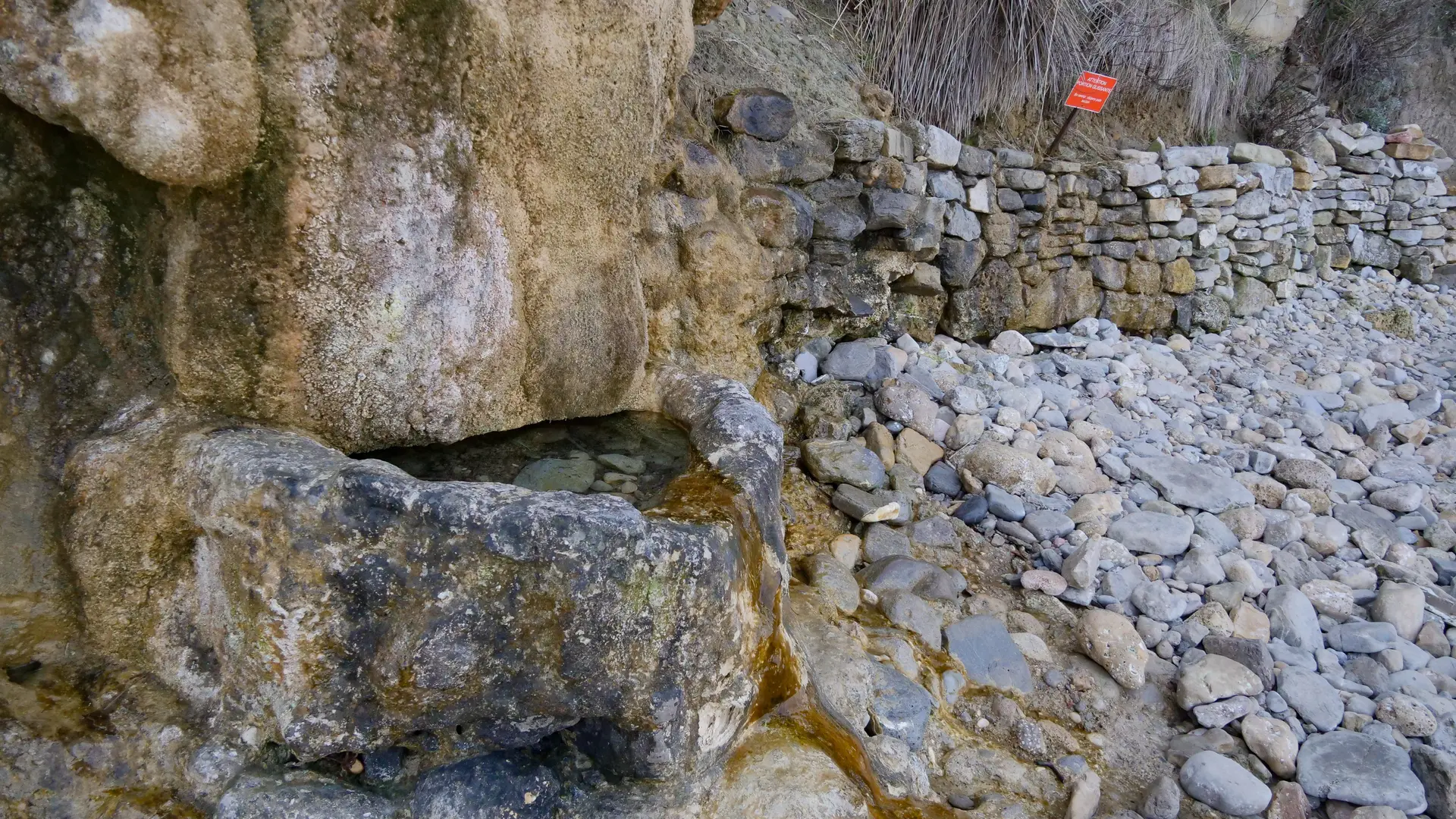
After Reinette beach, observe the petrifying travertine spring, a rare geological curiosity.
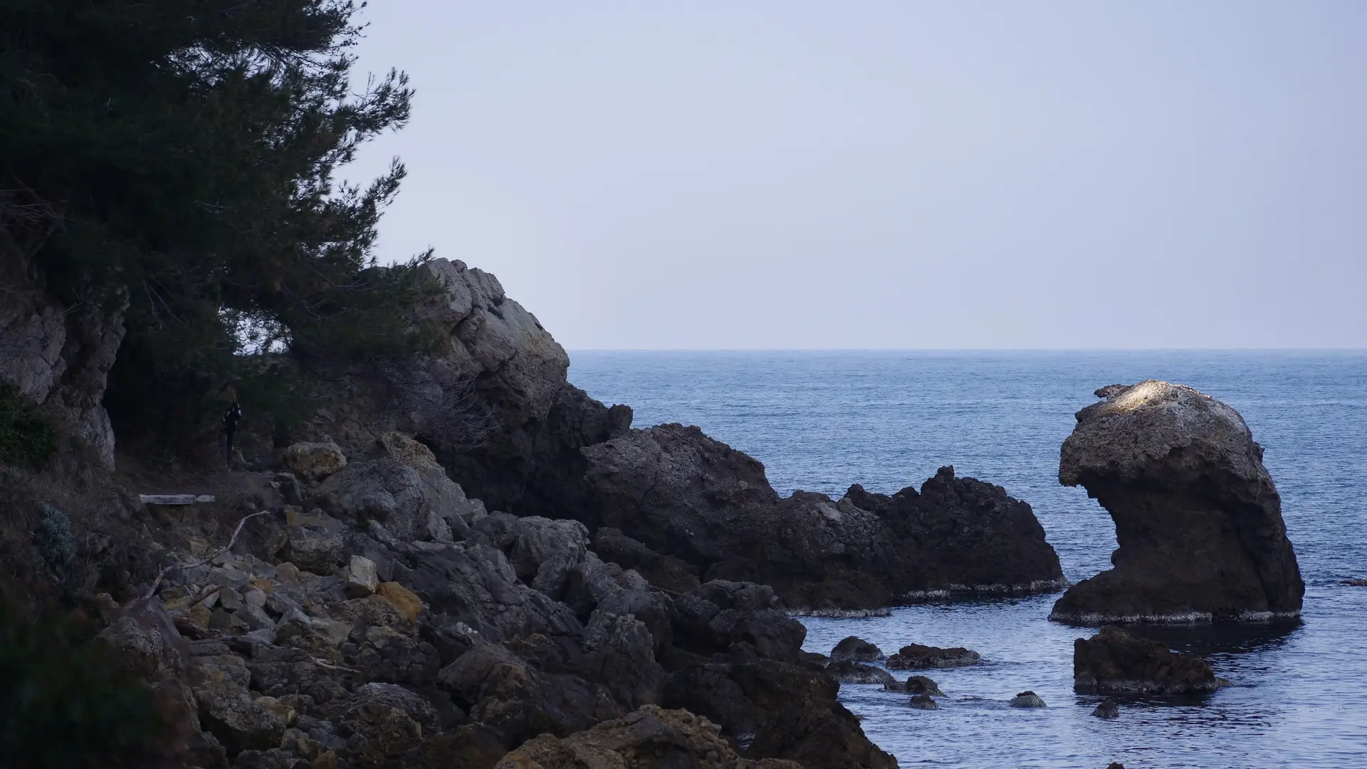
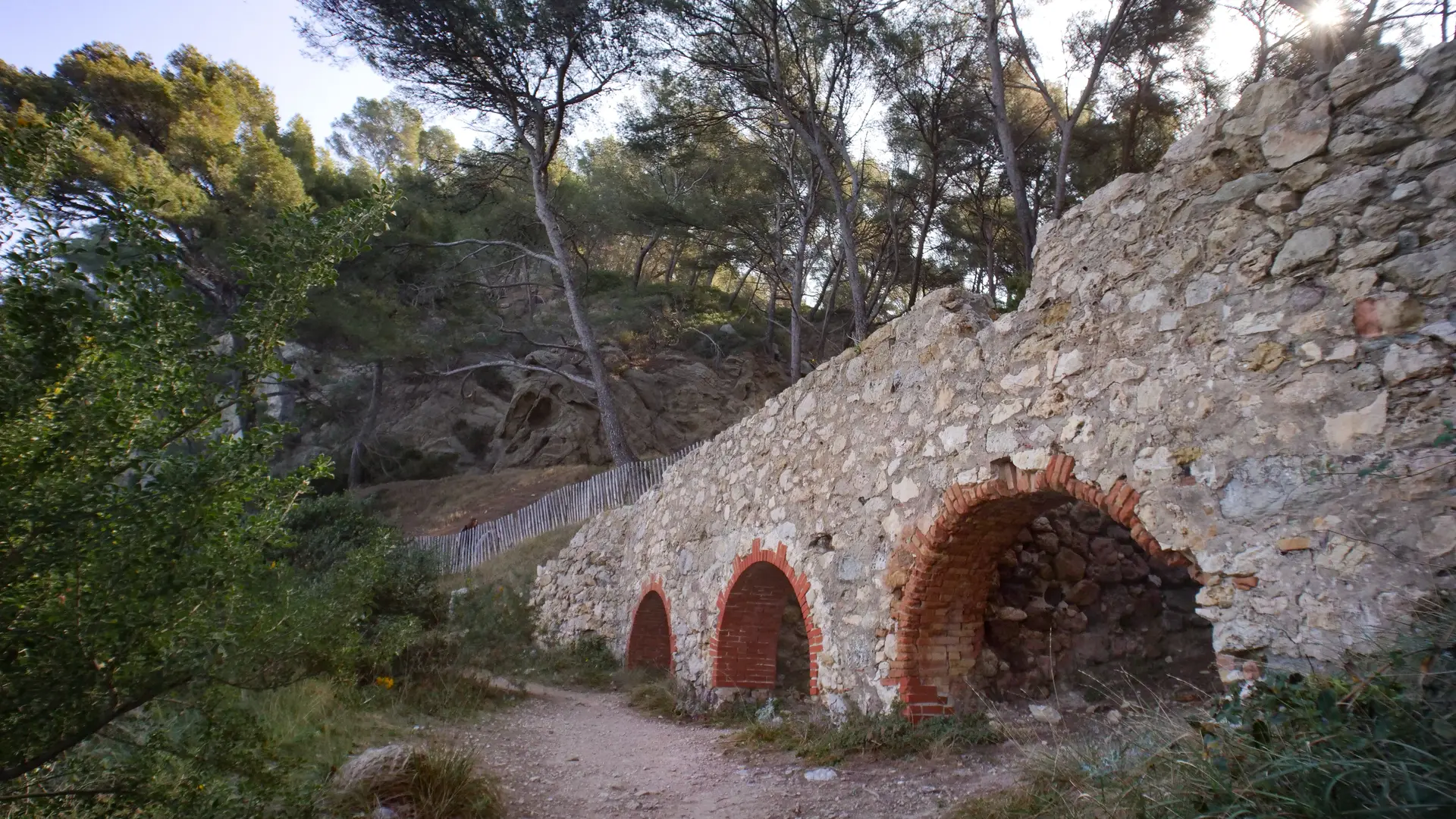
Follow the path, almost with your feet in the water, until you come across the remnants
of Pointe Grenier's industrial past, including the three arches of the plaster kilns.
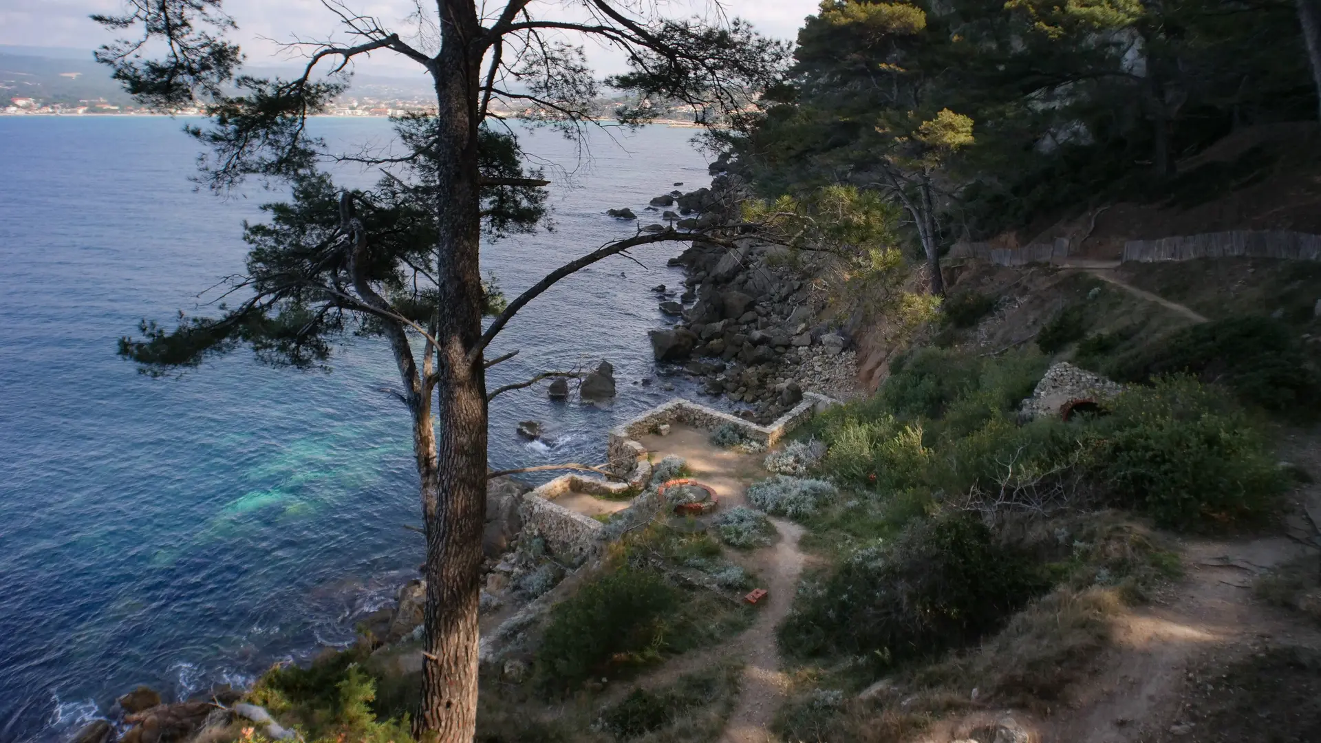
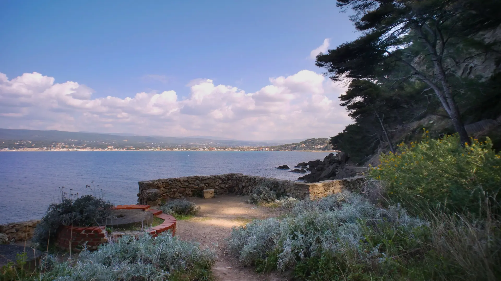
Then reach the upper part of the point, home to the restored remains of a military battery: chapel, powder magazine, barracks and lookout tower. From the top, take time to admire the magnificent view over the Baie des Lecques and the Bec de l'Aigle.
Return trip compulsory.