- Voir les favoris
See photos (9)
The hilltop village of Jean Giono
Sport, Pedestrian sports, Hiking itinerary
in Saint-Julien
7.4
km
-
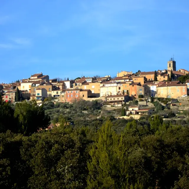
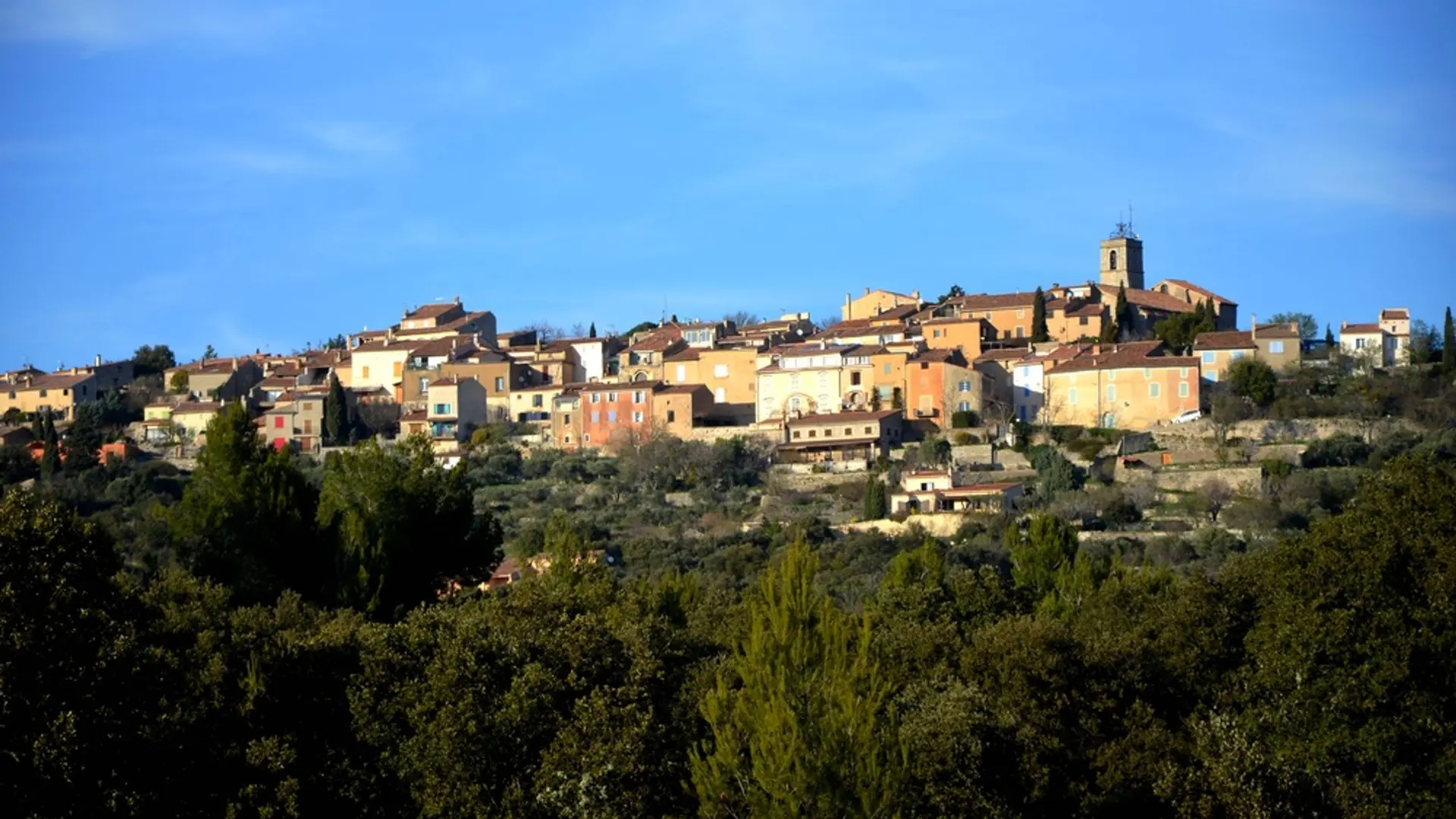
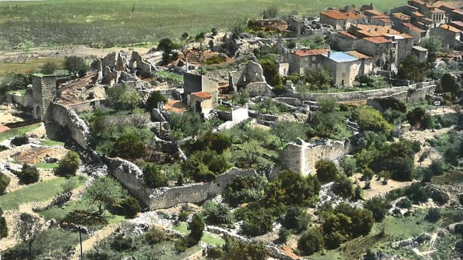
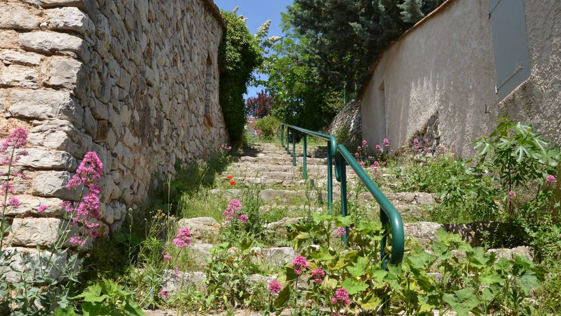
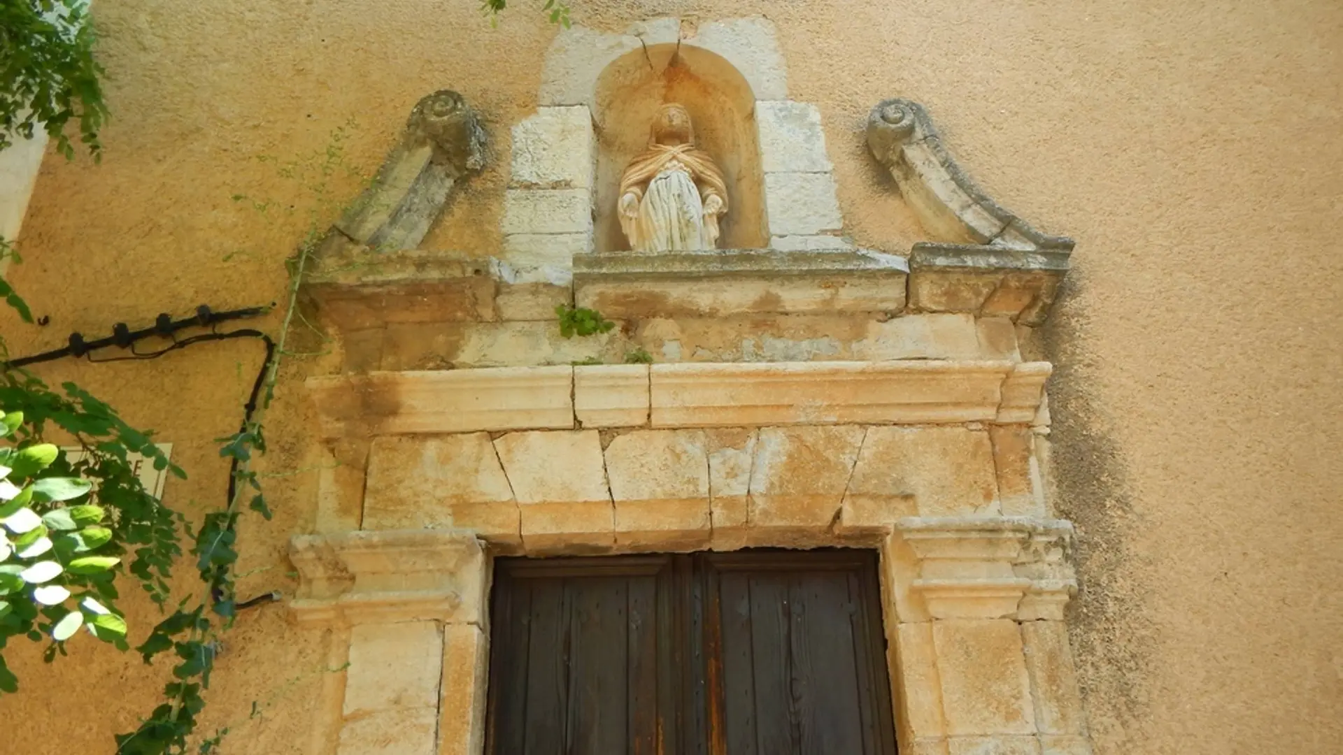
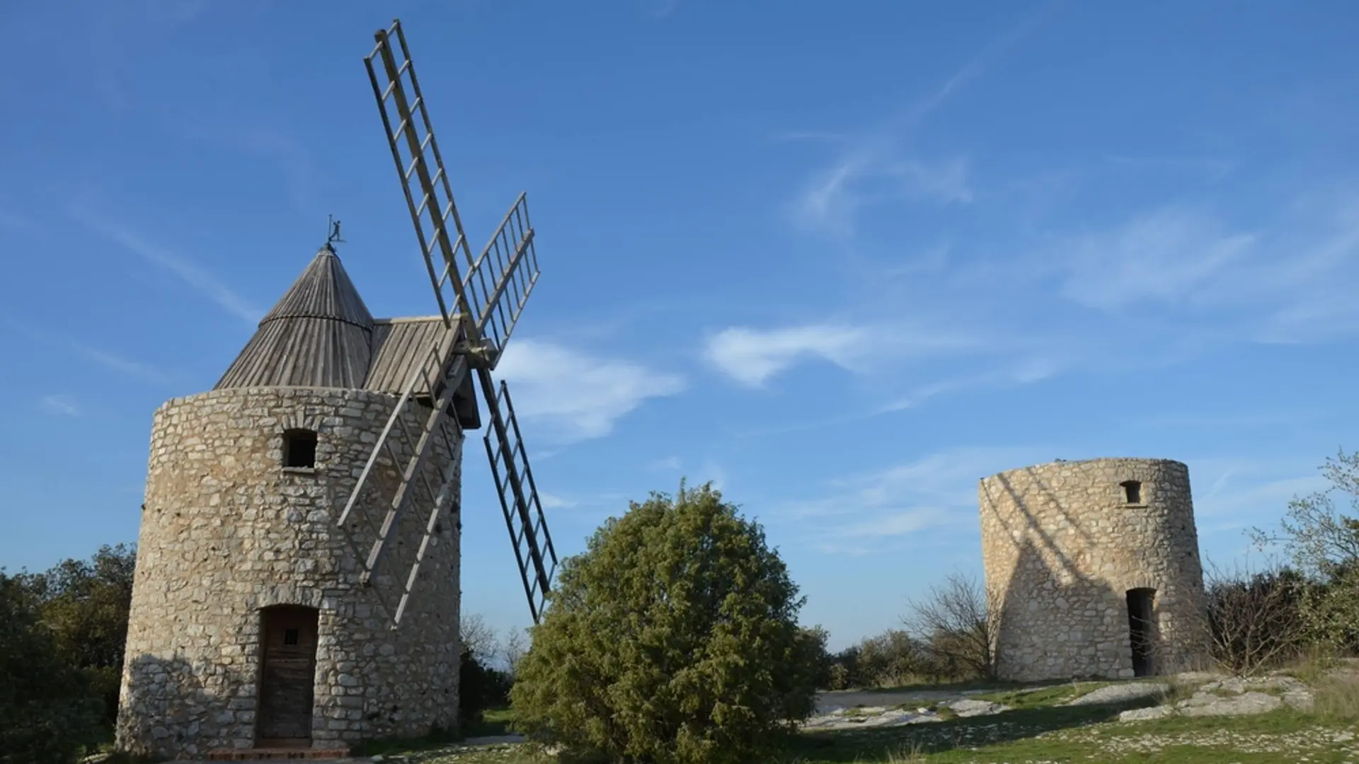
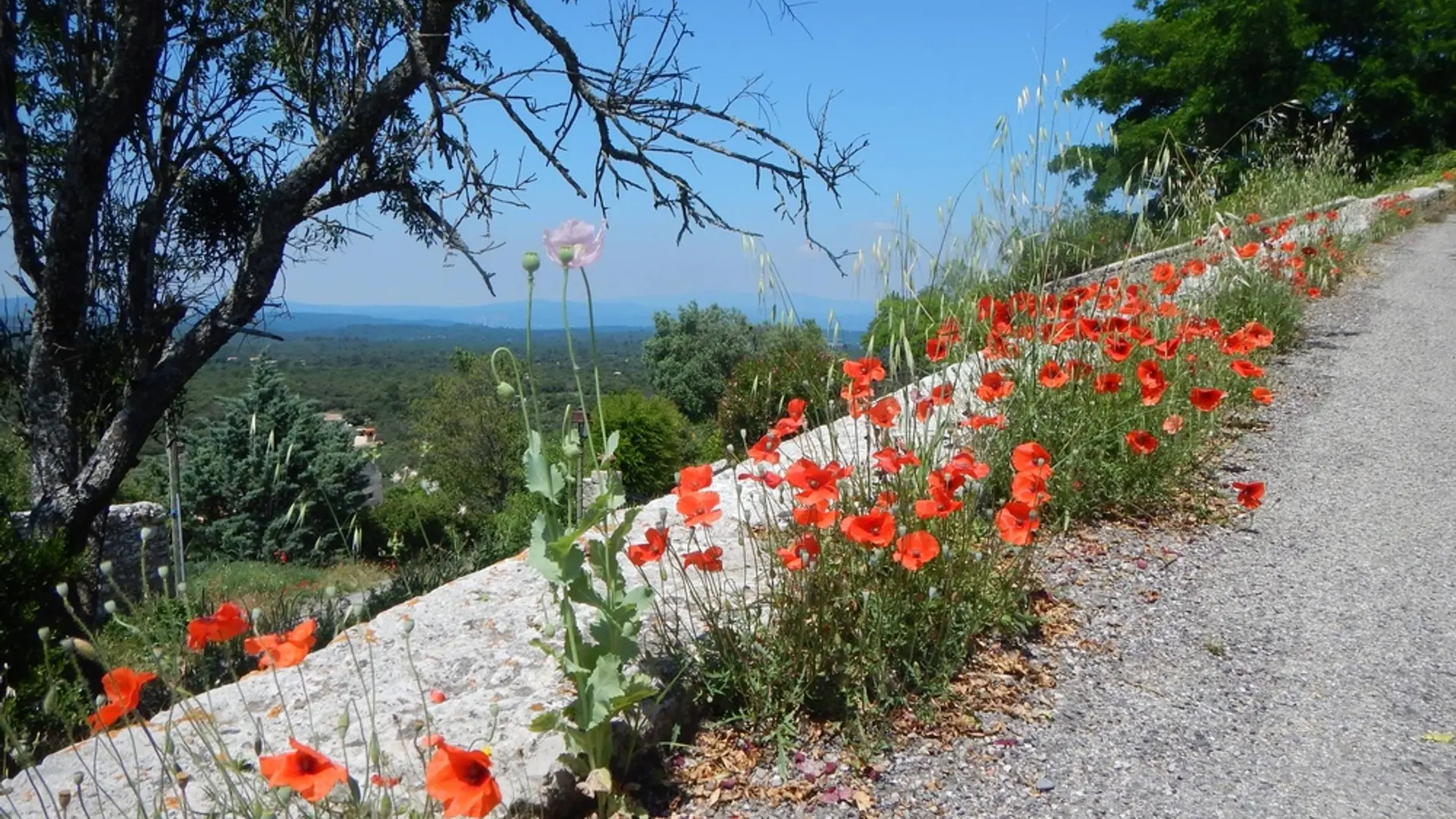
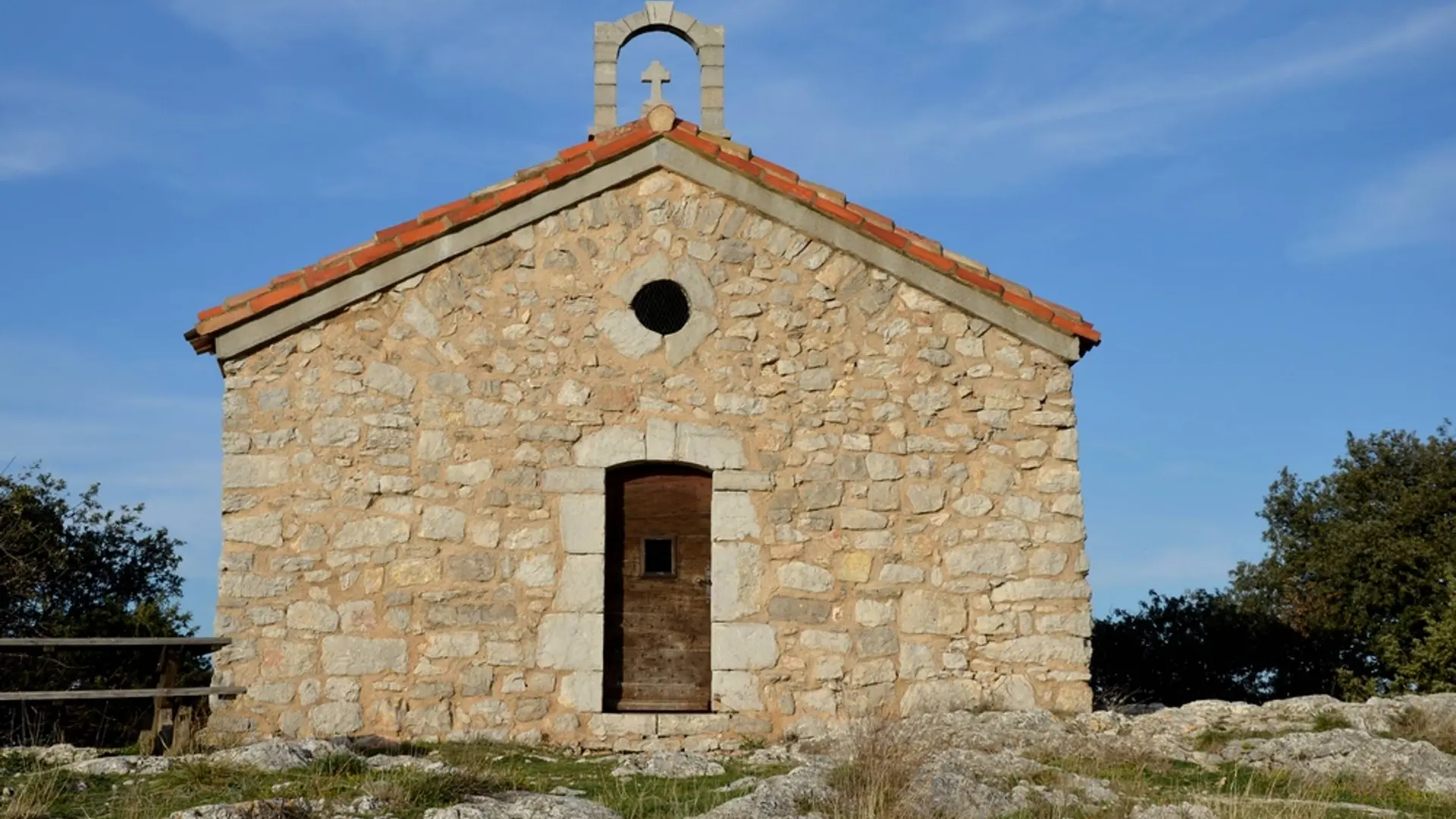
An old village of character on a rocky outcrop rich in its heritage, a 360 ° panorama where Jean Giono liked to walk.
-
From the car park take the stairs and turn right, cross the bridge and take the road that goes to the right of the cooperative cellar "path under the rock".
1 - Before the cemetery turn right on the path of donkey paradise. Arrive at the top on a parking lot take the path on the right.
2 - and continue along a small path on the left. At the top, turn right towards "chemin du Baou". Walk under the ramparts in the shade of the holm oaks, until the cross.
3 - then turn left to arrive in front...From the car park take the stairs and turn right, cross the bridge and take the road that goes to the right of the cooperative cellar "path under the rock".
1 - Before the cemetery turn right on the path of donkey paradise. Arrive at the top on a parking lot take the path on the right.
2 - and continue along a small path on the left. At the top, turn right towards "chemin du Baou". Walk under the ramparts in the shade of the holm oaks, until the cross.
3 - then turn left to arrive in front of the Gourdanne gate. Pass under this one and go up on the left towards "the walk of the belvedere" to pass in front of the Church to make the turn and to go straight down in the village. Pass the Auberge du Montagnier and cross the Gourdanne door then turn right down to the Cross.
3 - just after turn left and follow the path that descends lace Arrive at the place said the Fountain continue to descend.
4 -Take the first path on the right to reach a field on the right, cross a bridge across the D69 and continue facing the path of the old mill, straight and then after 200 m turn right through the municipal camp-site at the end again right to the roundabout continue in front of the grocery store, then the post office and return to the departure bridge.
Easy
- Departure
- Saint-Julien
-
-
Difference in height
- 299.667 m
-
-
-
Departure : Tourism office car park, St-Pierre.
Arrival : St-Pierre.
Road access : From Vinon sur Verdon take the D69..
Parking recommended : Parking de l'office de tourisme .
- See all reviews
- 300 meters of difference in height
-
- Maximum altitude : 580 m
- Minimum altitude : 437 m
- Total positive elevation : 300 m
- Total negative elevation : -296 m
- Max positive elevation : 128 m
- Min positive elevation : -134 m
