- Voir les favoris
See photos (4)
The Lac des Sagnes tour
Sport, Pedestrian sports, Hiking itinerary
in Jausiers
2.3
km
-
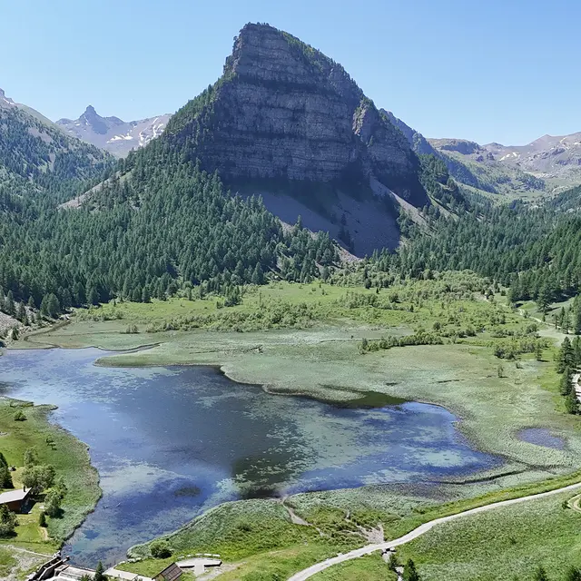
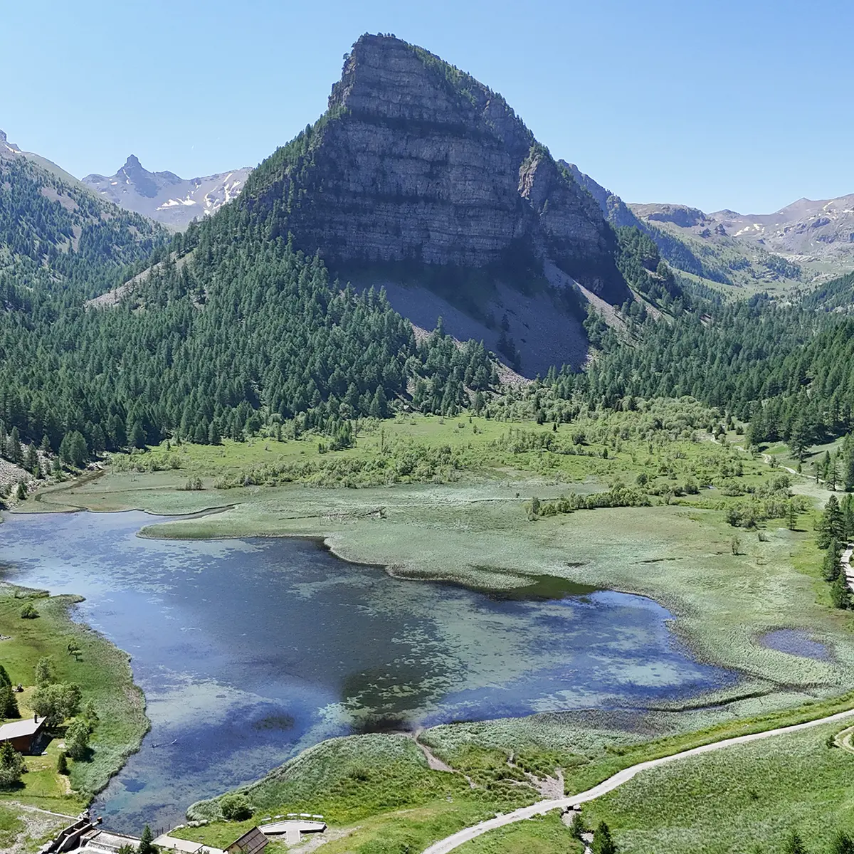
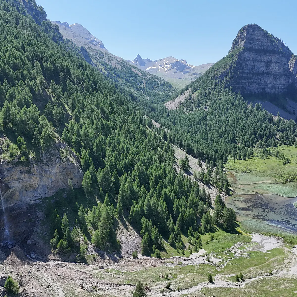
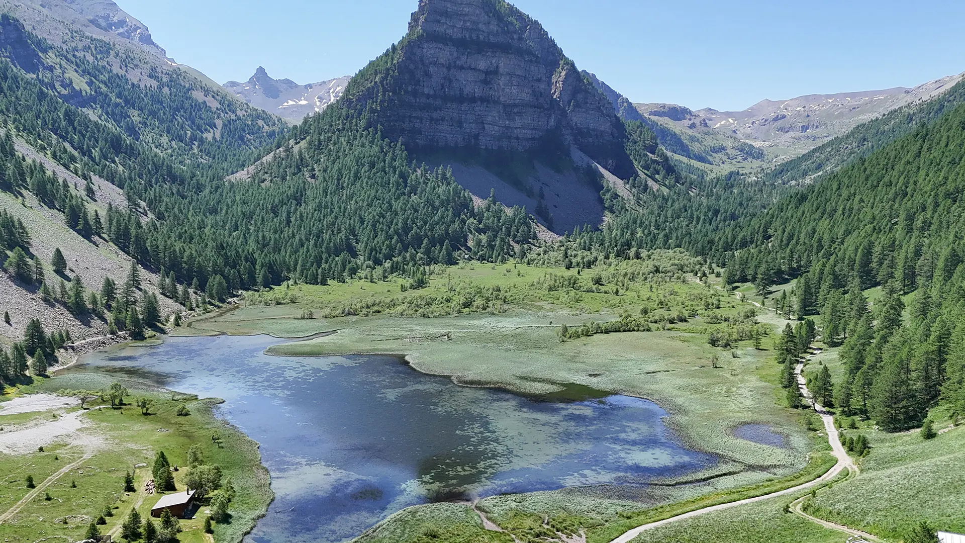
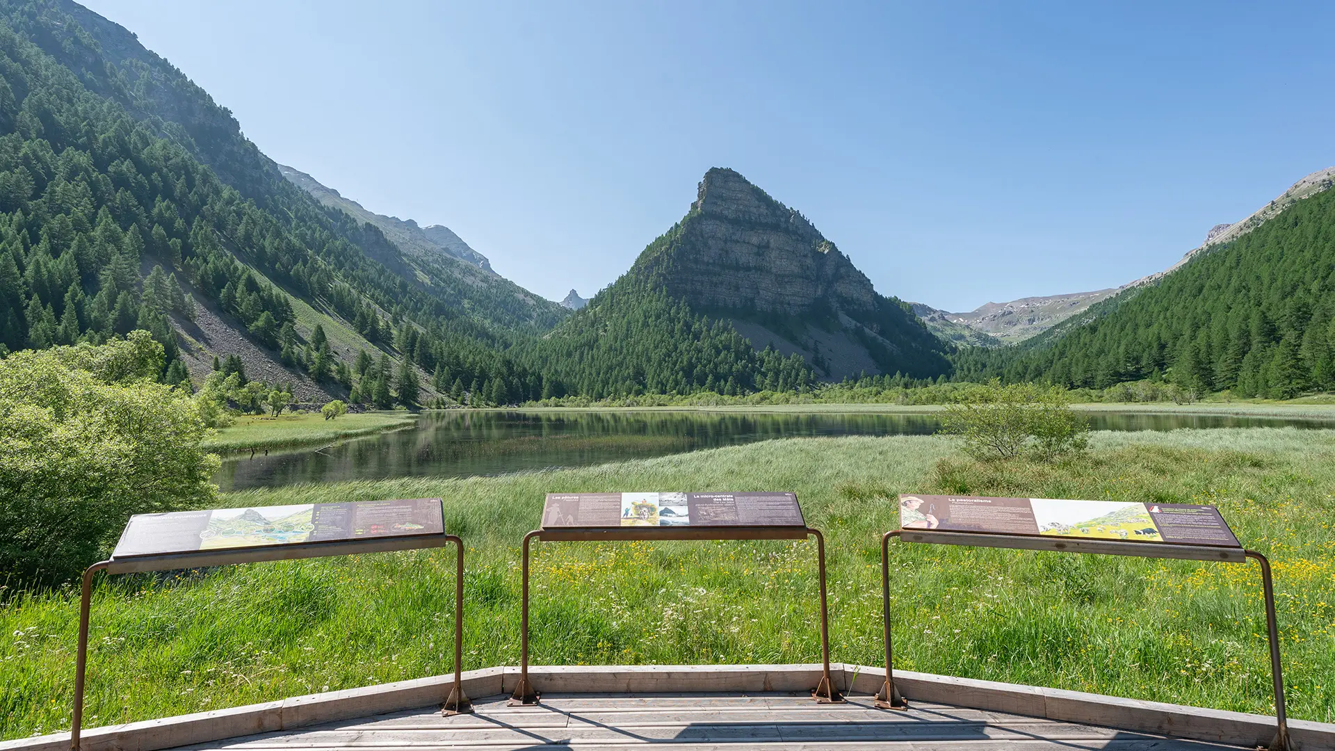
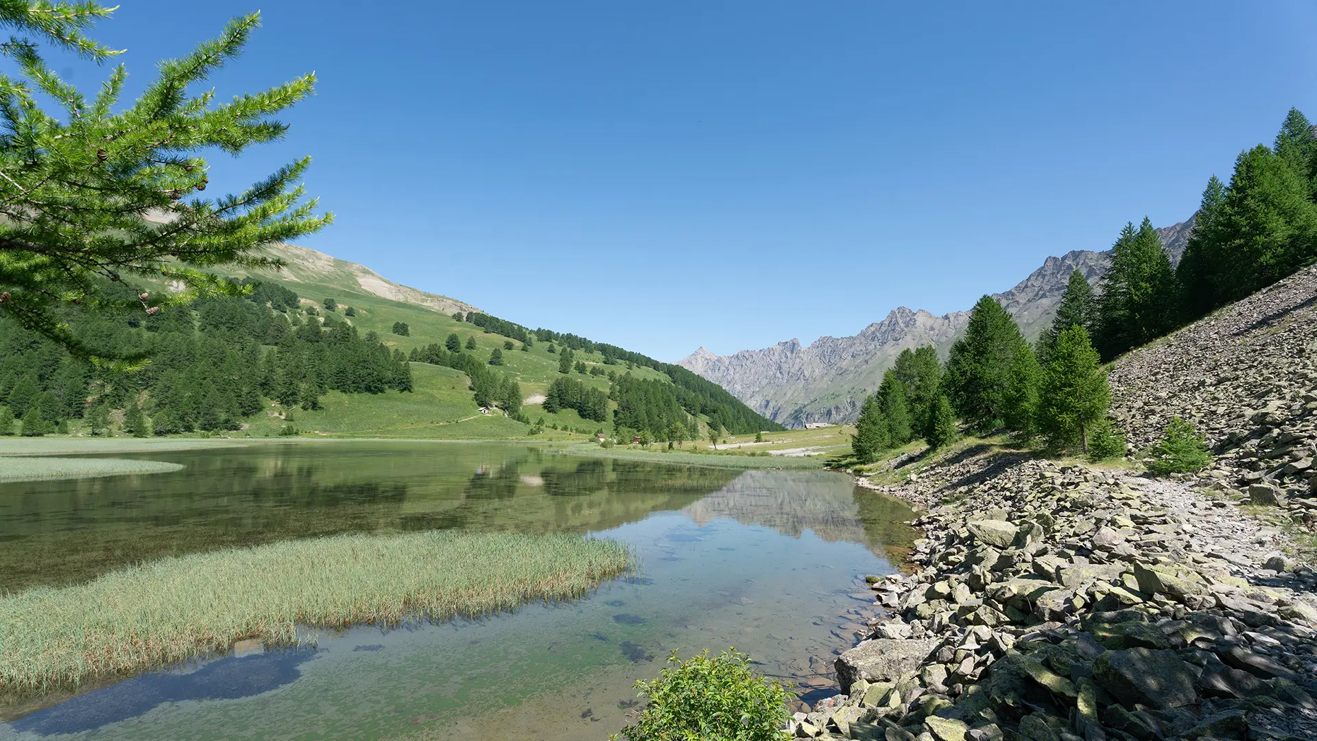
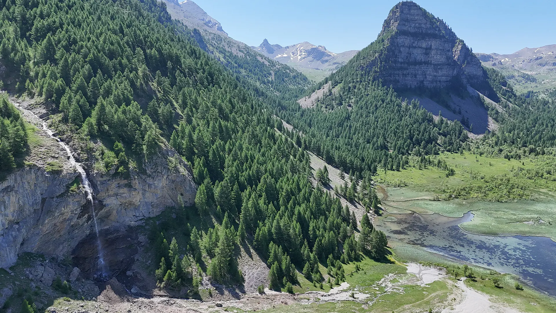
A splendid tour in a Sensitive Natural Area laid out around Lake Sagnes, offering immersion in wetlands and unforgettable views.
-
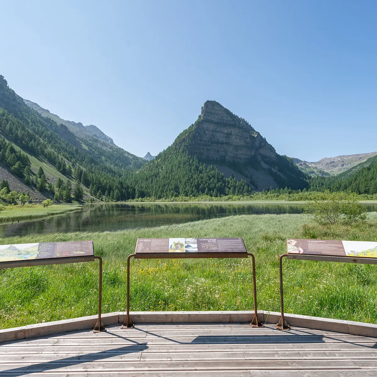
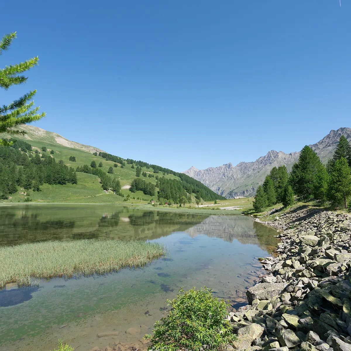
The short route takes you around the lake, first on a path through the undergrowth, scree and wetlands. The return journey is on the left bank along a track that passes by a viewpoint.
- Departure
- Jausiers
-
-
Difference in height
- 31.6667 m
-
-
-
Documentation
- GPX / KML files allow you to export the trail of your hike to your GPS (or other navigation tool)
-
-
-
Accepted customers
-
- See all reviews
- 32 meters of difference in height
-
- Maximum altitude : 1940 m
- Minimum altitude : 1897 m
- Total positive elevation : 32 m
- Total negative elevation : -32 m
- Max positive elevation : 31 m
- Min positive elevation : -32 m
Services
-
-
Services
-
