- Voir les favoris
See photos (4)
The L’Argentière-la-Bessée green route ("Voie Verte")
Sport, Pedestrian sports, Hiking itinerary
in L' Argentière-la-Bessée
6.3
km
-
Set off on an exploration of two iconic worlds in the municipality of L'Argentière-la-Bessée.
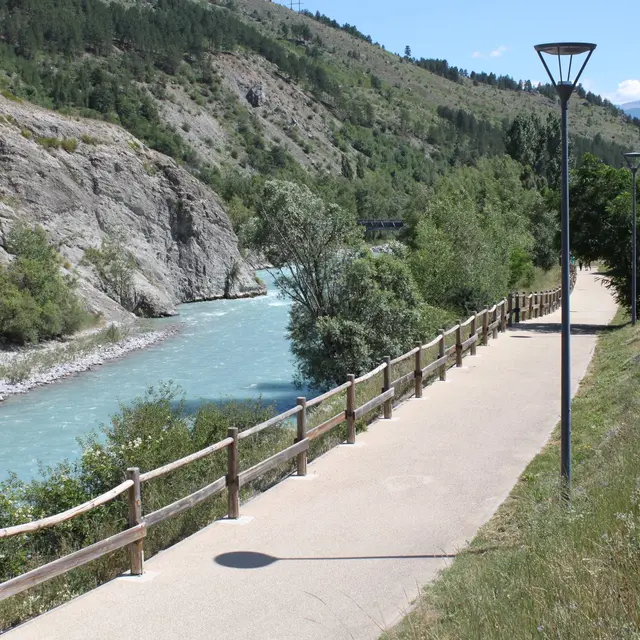
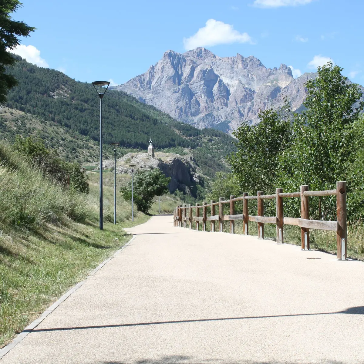
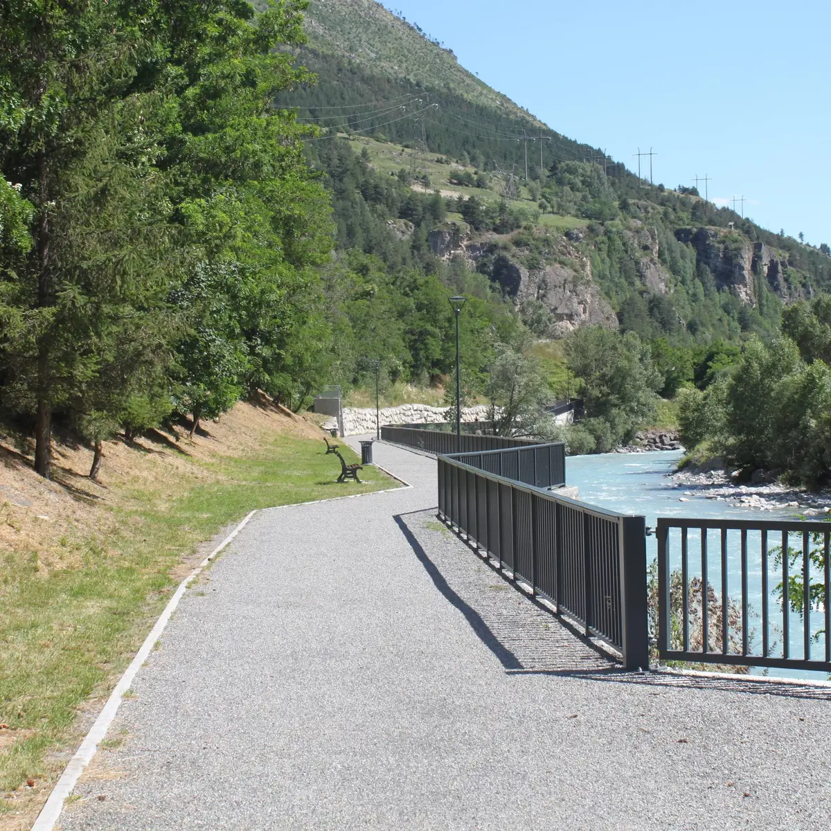
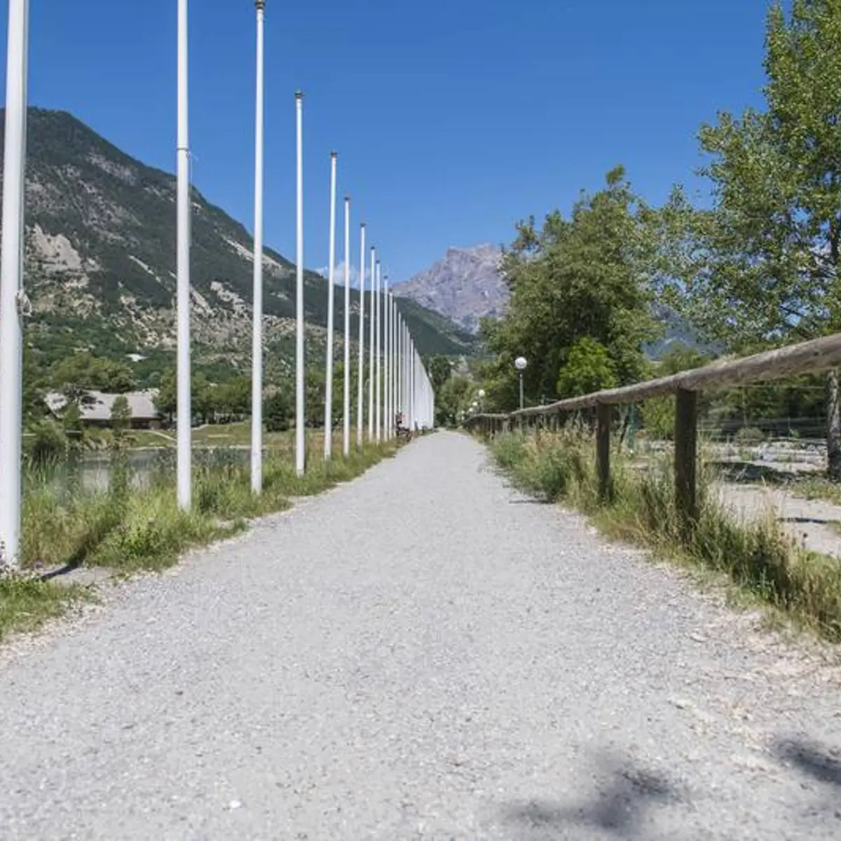
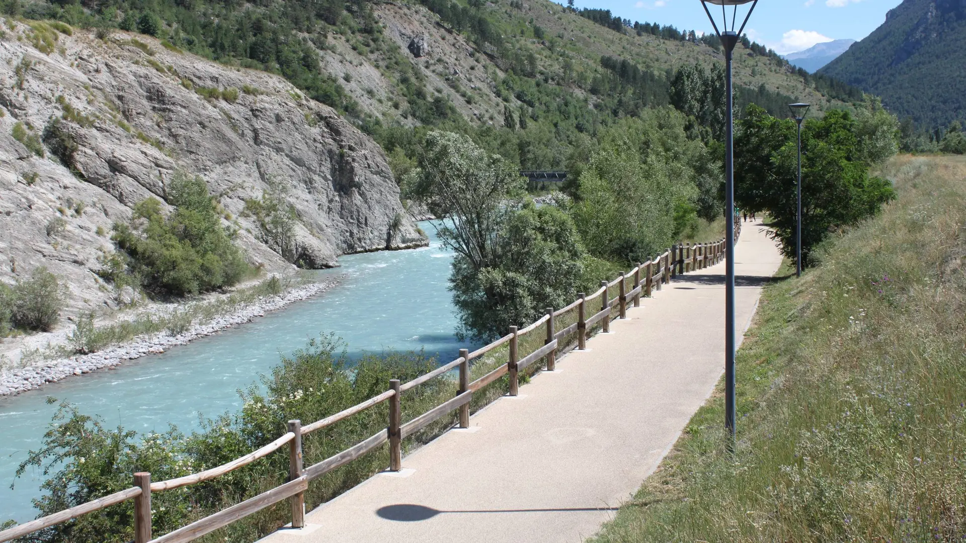
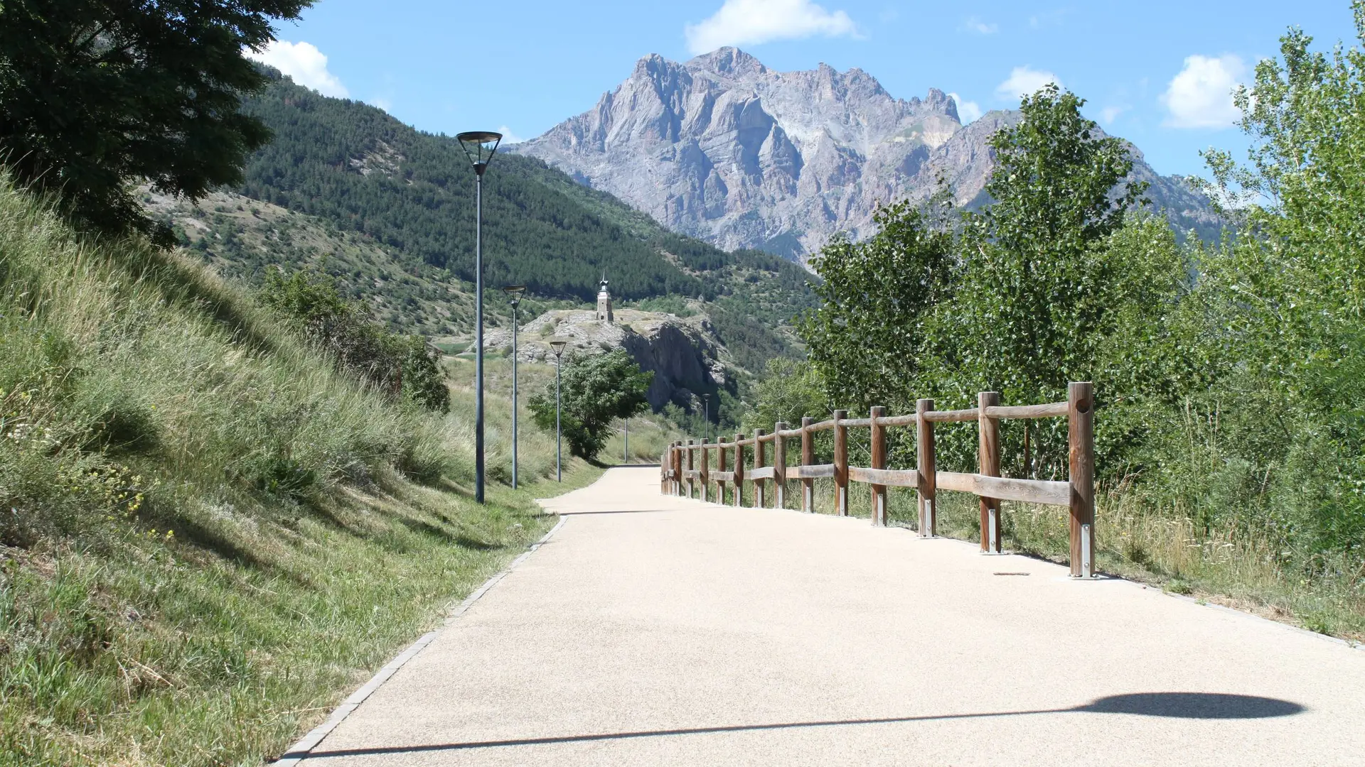
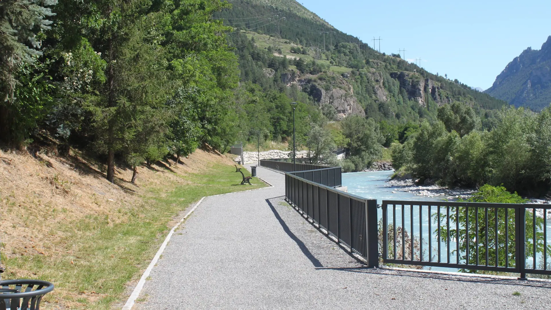
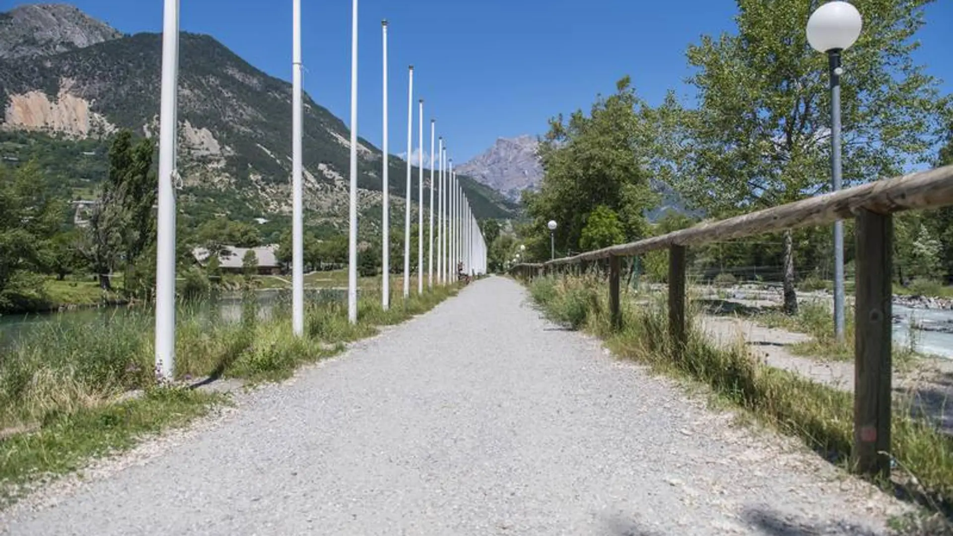
-
The green route starts near the L'Argentière-la-Bessée information office ("Bureau d'Informations") and the public finance office, on the left-hand bank of the Durance, along a track laid out for pedestrians and mountain bikers. At the beginning of the trail, you can admire a nineteenth century vertical compressor, a historical tool of industry that is an immediate introduction to one of the themes you will encounter on the route.
Turn right and cross the pedestrian footbridge taking you to...The green route starts near the L'Argentière-la-Bessée information office ("Bureau d'Informations") and the public finance office, on the left-hand bank of the Durance, along a track laid out for pedestrians and mountain bikers. At the beginning of the trail, you can admire a nineteenth century vertical compressor, a historical tool of industry that is an immediate introduction to one of the themes you will encounter on the route.
Turn right and cross the pedestrian footbridge taking you to the right-hand bank of the Durance and the developed part of the town
Take the first left after the footbridge and continue straight ahead along a shared track. On your left, you can admire the municipal electricity system and, a few metres further on, the children's play area
At the end of the pedestrian track, continue straight ahead between two of the municipality's iconic historical industries. On their walls, you will also see information panels telling something of the industrial past of L'Argentière-La Bessée
After passing these historical buildings, head left and then right to join another pedestrian track following the right-hand bank of the Durance
Cross the pedestrian footbridge spanning the Fournel. You then leave the world of industry behind as you enter a world of sport with the presence of numerous sporting amenities, including the well-known white water stadium.
Go along the edge of the campsite on the banks of the Durance, until you come to the local road and a bridge, the Pont de Chancel
Turn back on yourself and follow the same route back to your starting point
Very easy
- Departure
- L' Argentière-la-Bessée
-
-
Difference in height
- 32.6667 m
-
-
-
Departure : Tourist information office ("Bureau d’Information Touristique") in L’Argentière-la-Bessée.
Arrival : Tourist information office ("Bureau d’Information Touristique") in L’Argentière-la-Bessée.
Road access : 16 km from Briançon, take the N94..
Parking recommended : Car park at the tourist information office ("Bureau d’Information Touristique") in L’Argentière-la-Bessée .
Public transport : Public transport >> www.pacamobilite.fr
Consider car-sharing >> www.blablacar.fr
For more information, ask at the Tourist Information Office nearest to the trail starting point. .
- See all reviews
- 33 meters of difference in height
-
- Maximum altitude : 991 m
- Minimum altitude : 963 m
- Total positive elevation : 33 m
- Total negative elevation : -55 m
- Max positive elevation : 18 m
- Min positive elevation : -12 m
