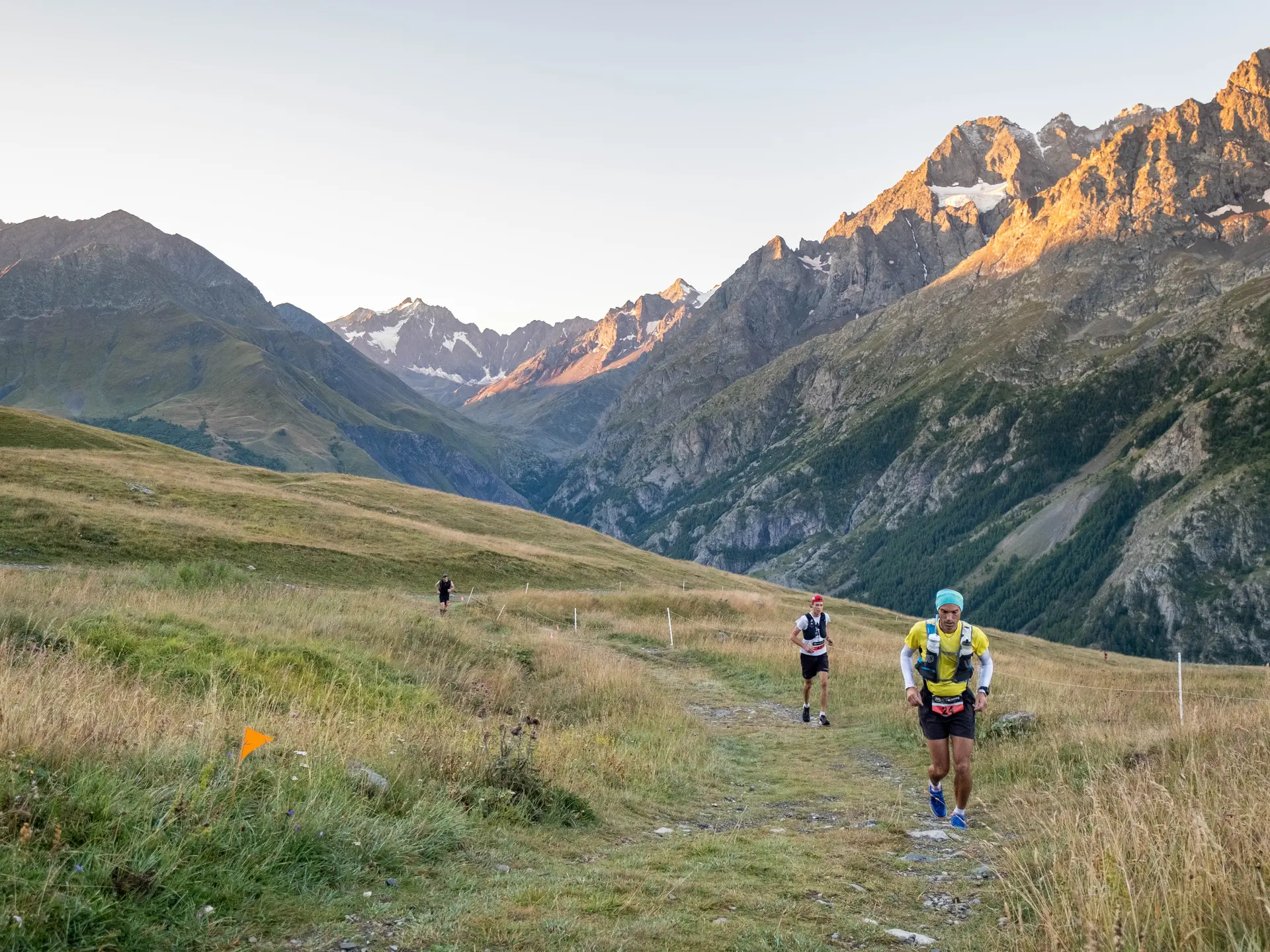
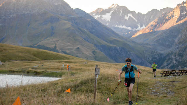
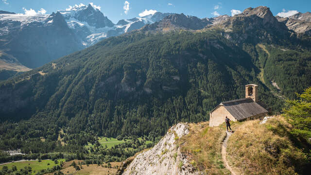
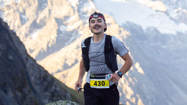
The 26km trail run offers a great number of mountainous landscapes.
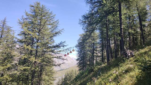
Starting with a single track in a larch forest, then cross high altitude pastures moulded as terrasses for agricultural purpuse in the past and to finally arrive at a lake. The second part of the run is caracterised by a grandiose panorama on Meije and a run down on a crest overlooking the county. After enjoying the view, the crest will lead you to a secluded valley with a lightly marked path before reaching Les Rivets and run down on a track made with slate to come back to the starting point at La Grave. This run is wild and varied, something that will be hard to forget for a while and a great way to feel what it feels like to live all year round here.