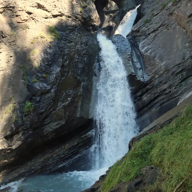
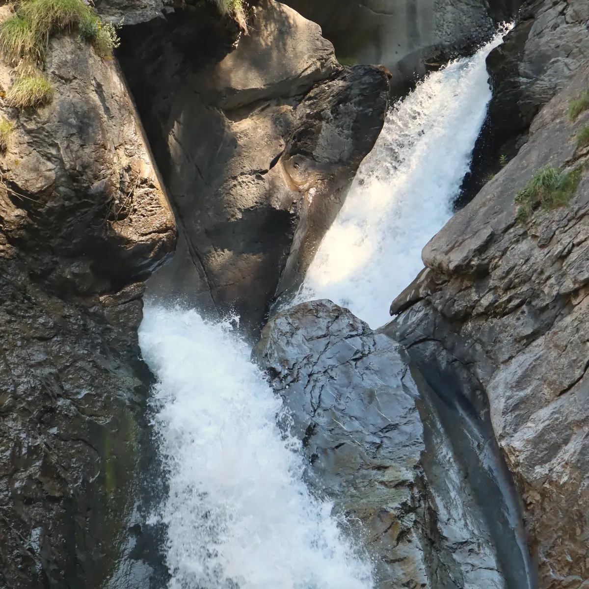
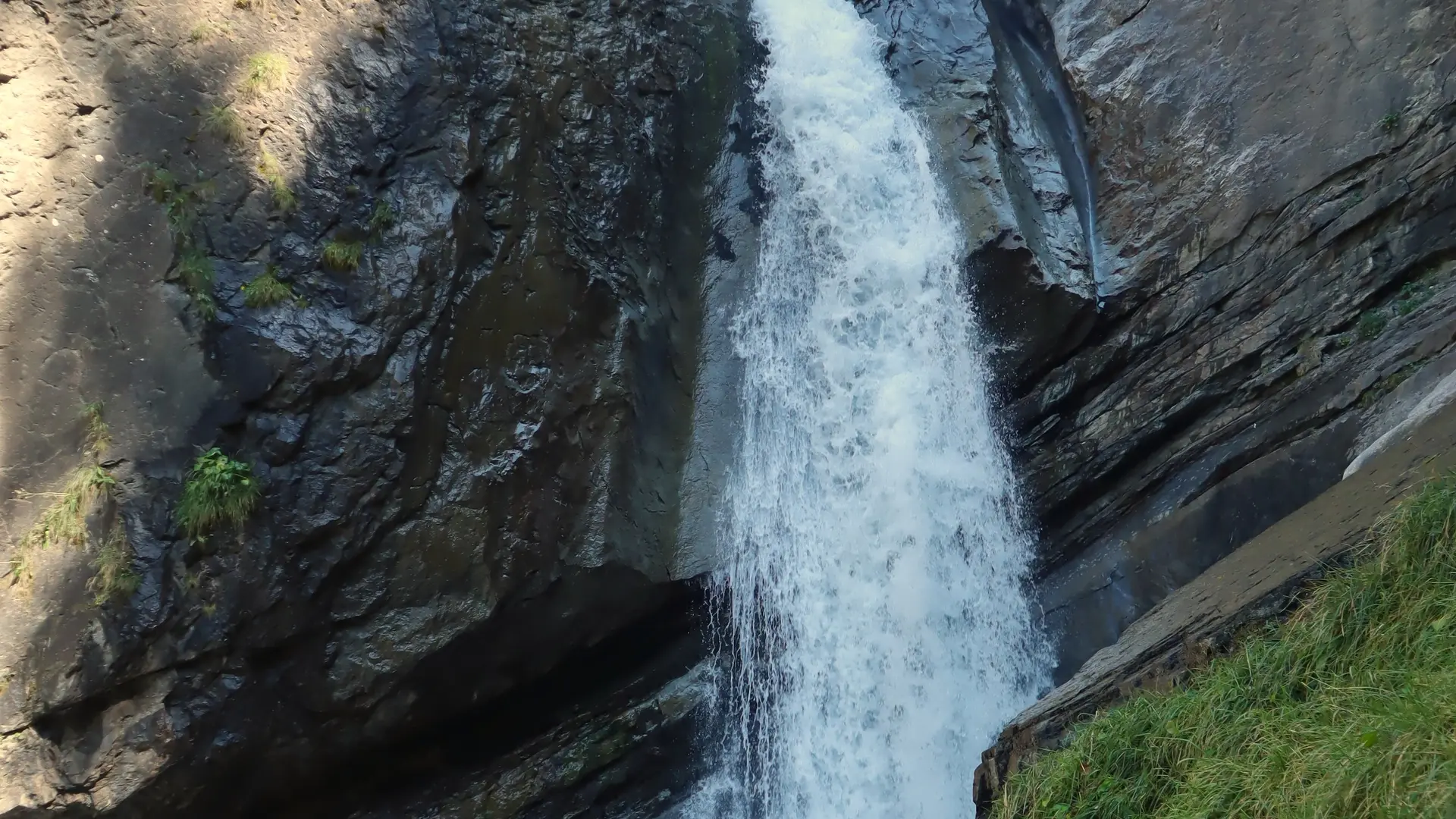
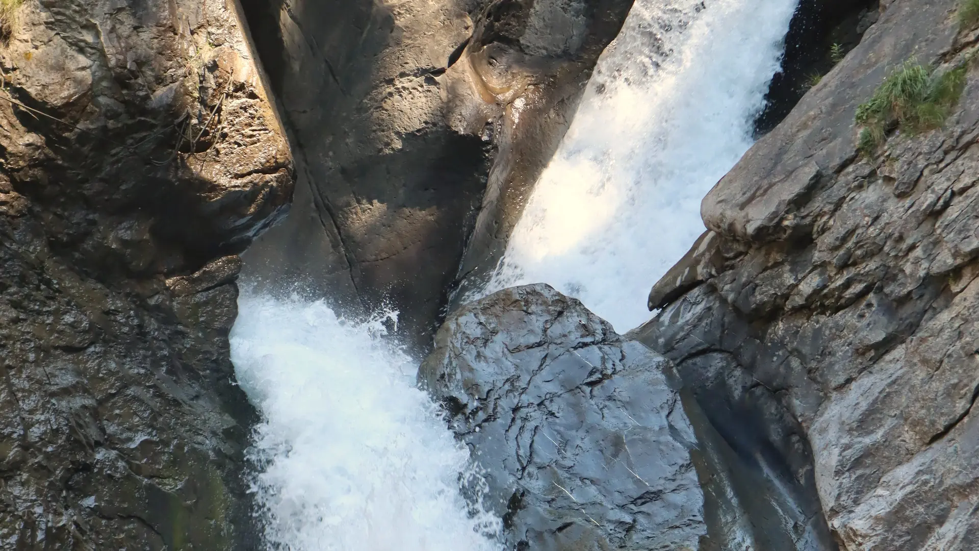
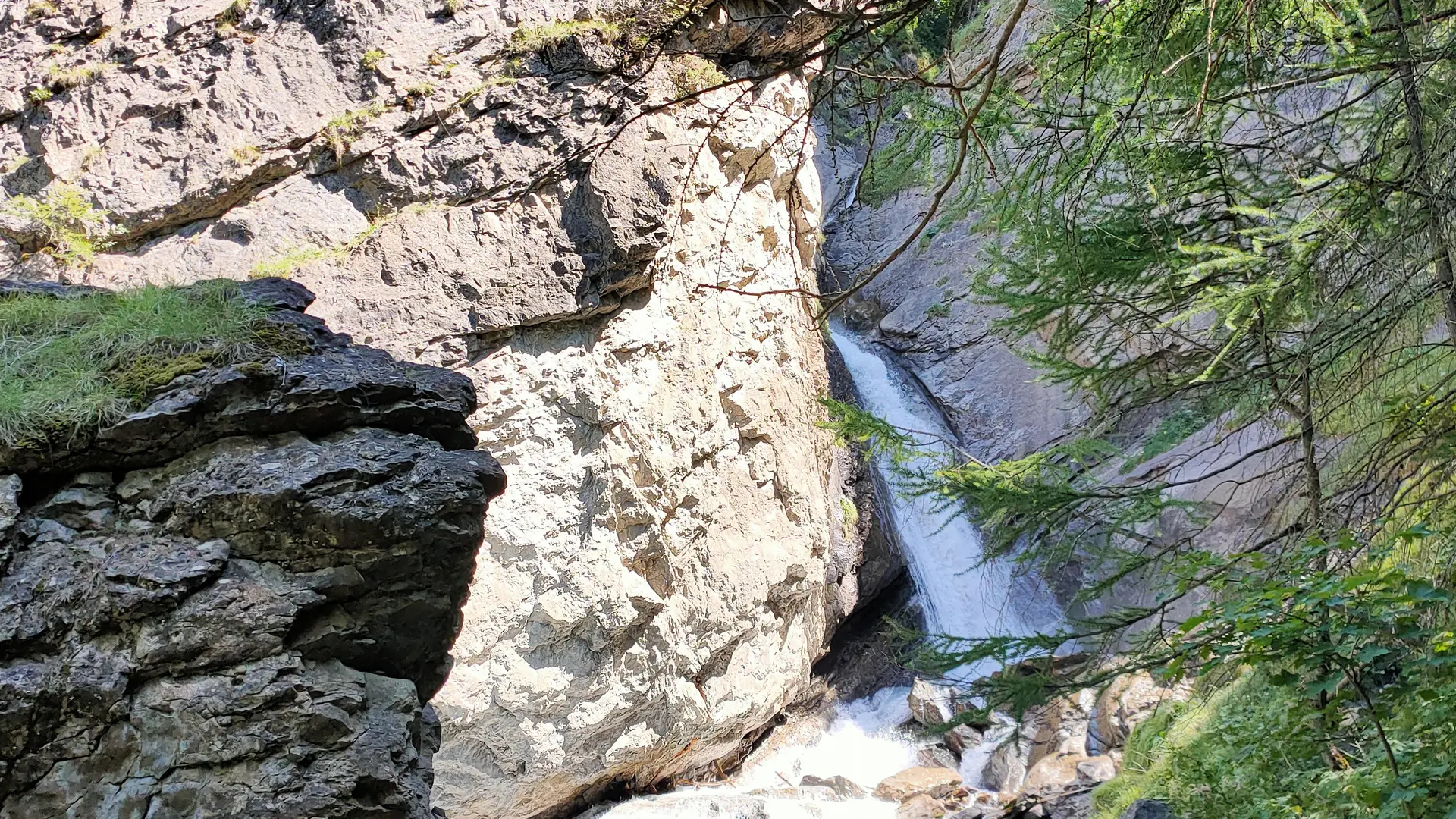
The waterfall can be particularly impressive in spring, when the melting snow intensifies the flow of water.
In summer, it's ideal for a refreshing break, and in autumn, the colors of the leaves add a special touch to the landscape, creating a unique setting.
This hike departs from the Glaciers de la Meije cable car parking area.
(Parking spaces are also available on the other side of the cable car station, next to the village hall).
To the left of the station: take the staircase with metal steps that leads to a dirt path down to the bridge over the Romanche.
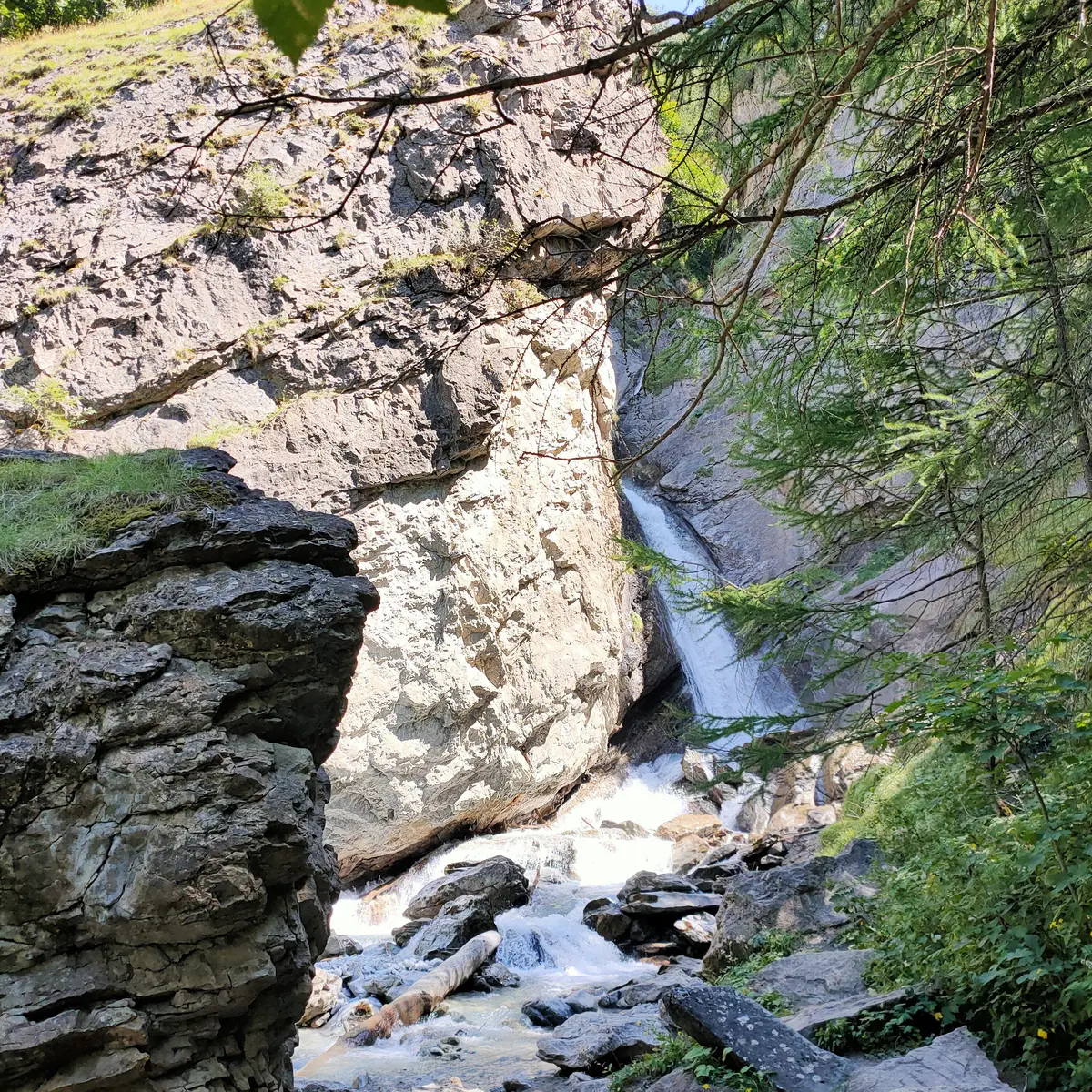
Cross the bridge and turn right onto the tarmac road (D233t). Walk about 300m to reach a small bridge at the end of the road. On the left is the "Cascade de la Meije" sign.
At the sign, turn left to reach the Cascade (picnic tables).
Once back down, take the dirt track opposite, shared with cyclists, and enjoy a shady, flower-filled stroll along the banks of the Romanche for around 1.2 km.
Back on the asphalt road, turn left and follow the road for approx. 1.6 km. On the right, you'll see the Cascade de la Meije, then cross the bridge and climb back up to the starting point.
Shaded picnic area near the waterfall.
Read more