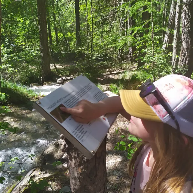
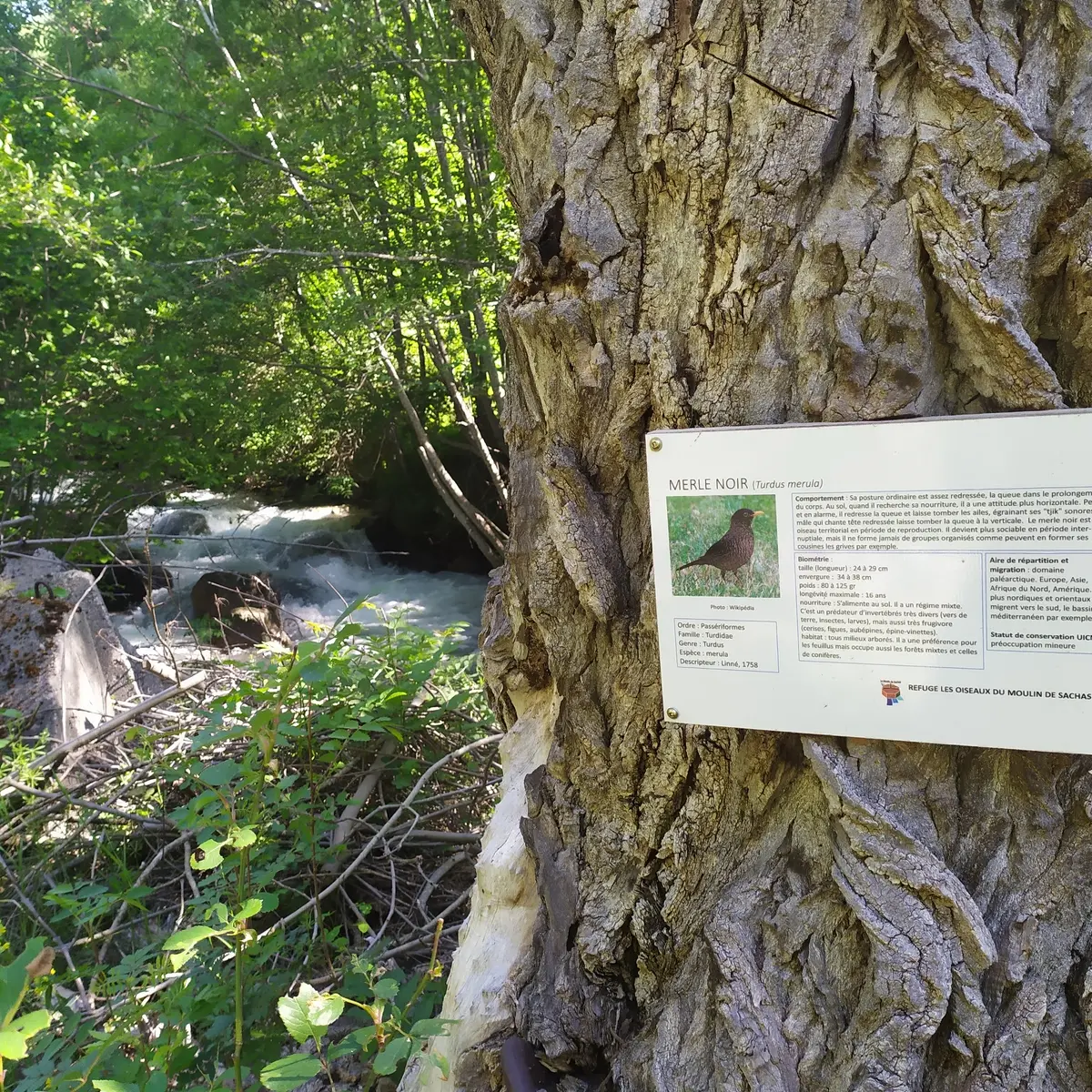
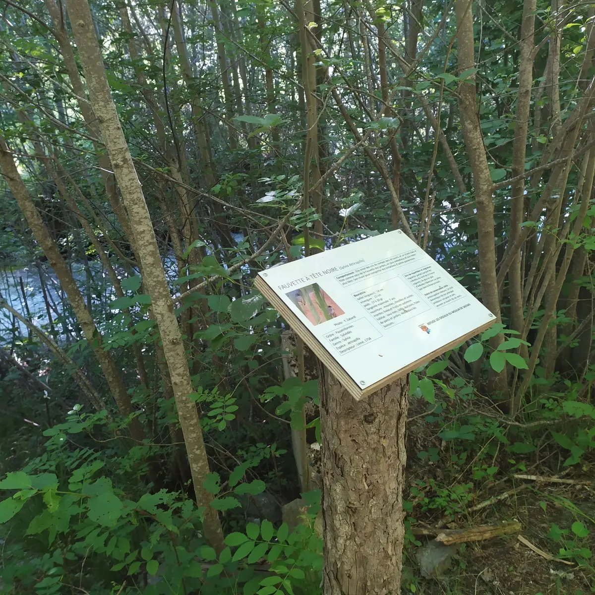
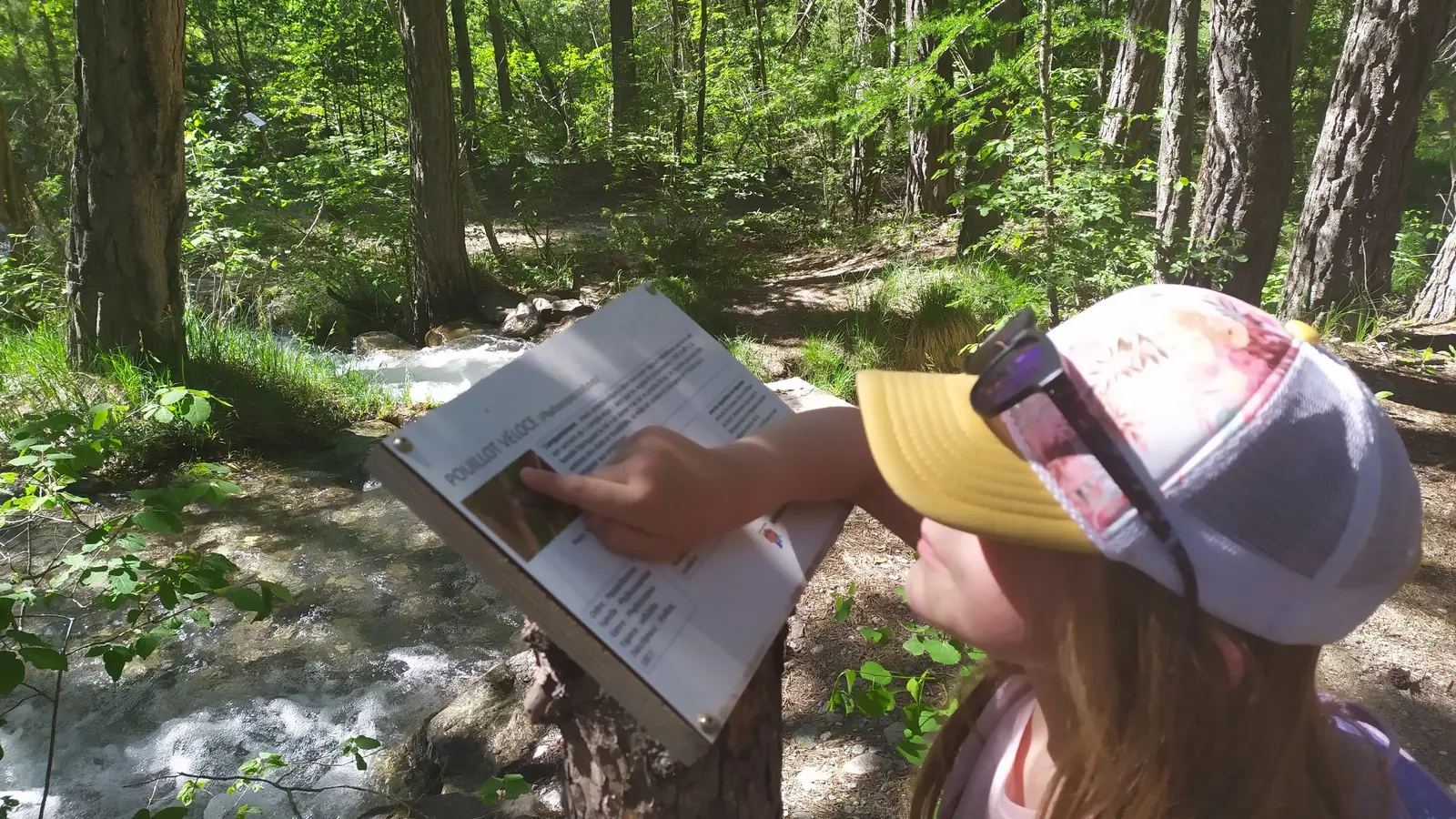
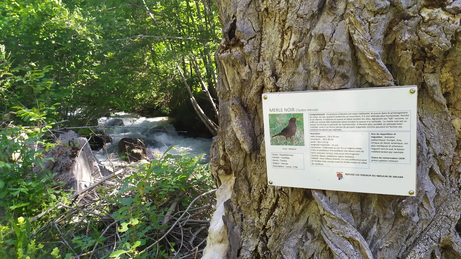
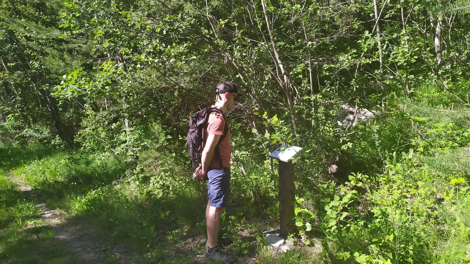
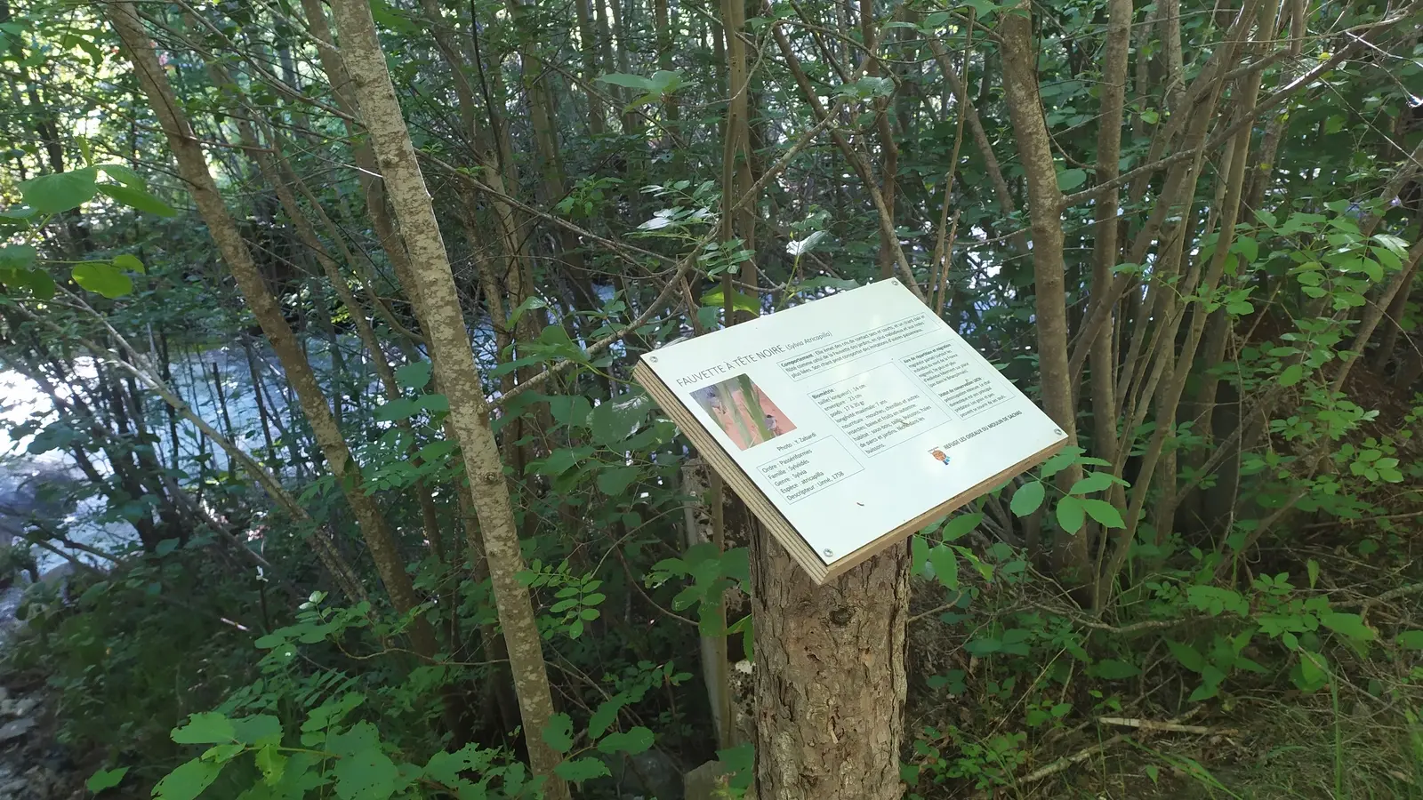
The Moulin de Sachas Bird Sanctuary is the perfect place to discover the rich fauna that inhabits our forests. The refuge is equipped with information panels, bird and bat boxes and insect nests.
Detailed itinerary :
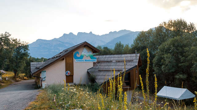
1. Leave the Centre Montagne parking lot to take the road towards the Ayes valley
2. At the next junction, continue towards Les Ayes. Then take the path on your left. The path is on the last bend out of the village, just before the letterbox marking the entrance to a property. Be careful, there are three steps down.
3. Go down the Serre path until you reach the tarmac road on Rue des Ayes. Turn right and walk along the roadside.
4. Cross the bridge and continue on the main road.
5. Before the road narrows, take a small lane on the right, between house no. 9, rue des Ayes, and house no. 7, rue des Ayes. A sign on the wall of house no. 9 indicates Moulin de Sachas.
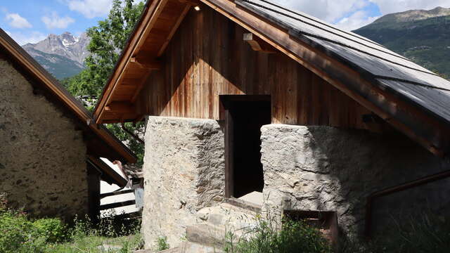
6 Go around the back of the houses and past the Moulin de Sachas.
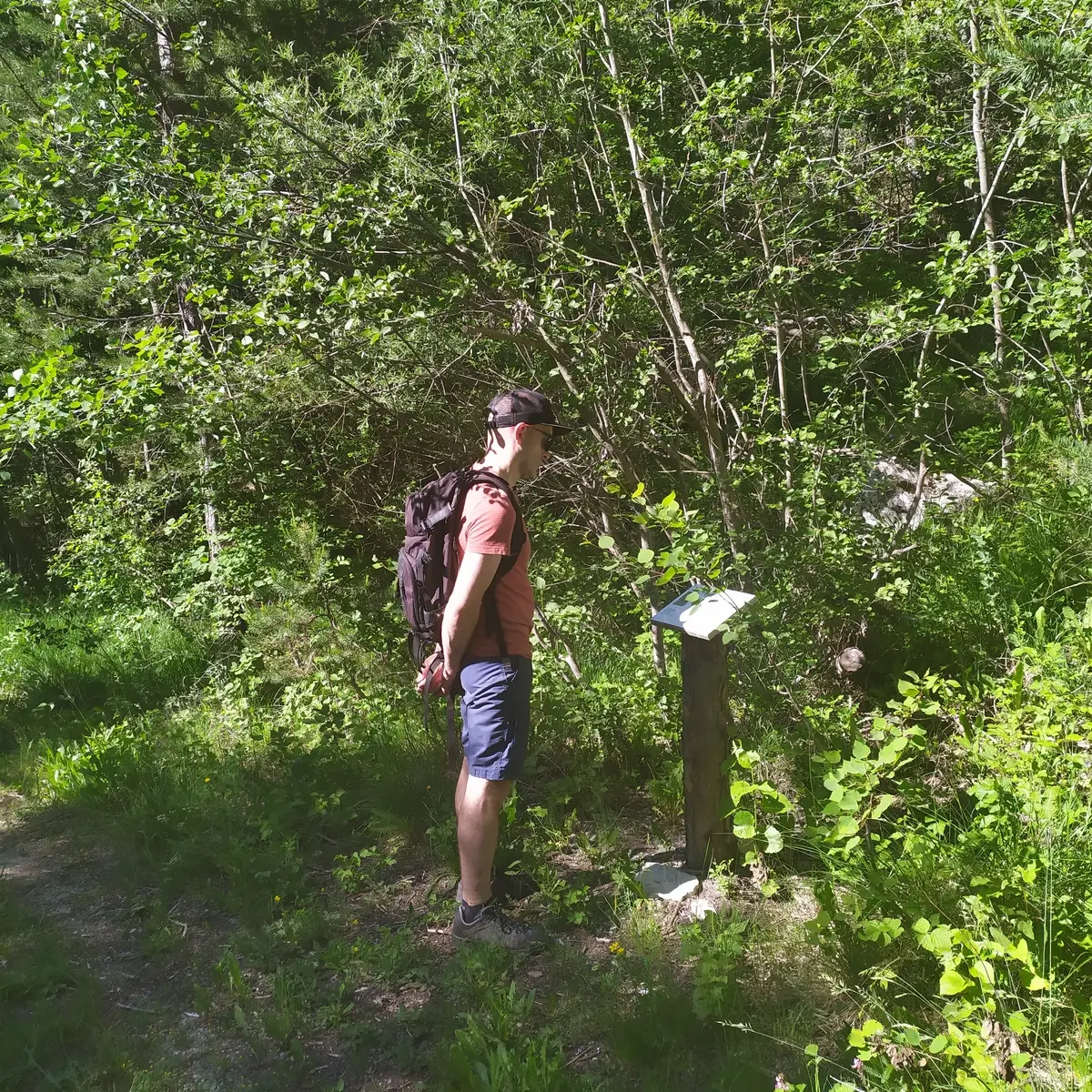
7. At the Moulin de Sachas, take the path slightly up on the right. A wooden pedestrian baffle marks the start.
8. Follow the canal-side path to the gravel pit.
9. At the gravel pit, approach the edge of the torrent des Ayes to read the final signs.
10. At the edge of the torrent des Ayes, turn left to go up to the center of the gravel pit. Be careful, you'll have to walk over the canal intake. At the gravel pit, look out for nesting boxes high up in the trees.
11. From the gravel pit, take the wide track. Walk past the reach and continue along the track as close as possible to the torrent.
12. Follow the track along the banks of the torrent des Ayes until you return to the village. Be careful, there are gardens on both sides of the track as you reach the village.
13. Back on the asphalt road, cross the bridge on your left. Then take the Chemin du Serre path up to the Centre Montagne.
14. At the top of the path, turn right onto Route des Ayes and head back down towards Centre Montagne.
15. At the next crossroads, keep left to reach the parking lot in front of you at the next junction.