- Voir les favoris
See photos (2)
The Mule Trail
Sport, Pedestrian sports, Hiking itinerary
in Sainte-Croix-du-Verdon
6.4
km
-
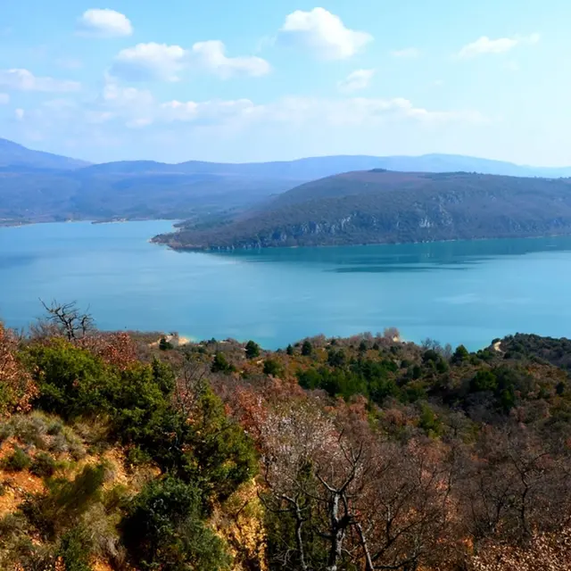
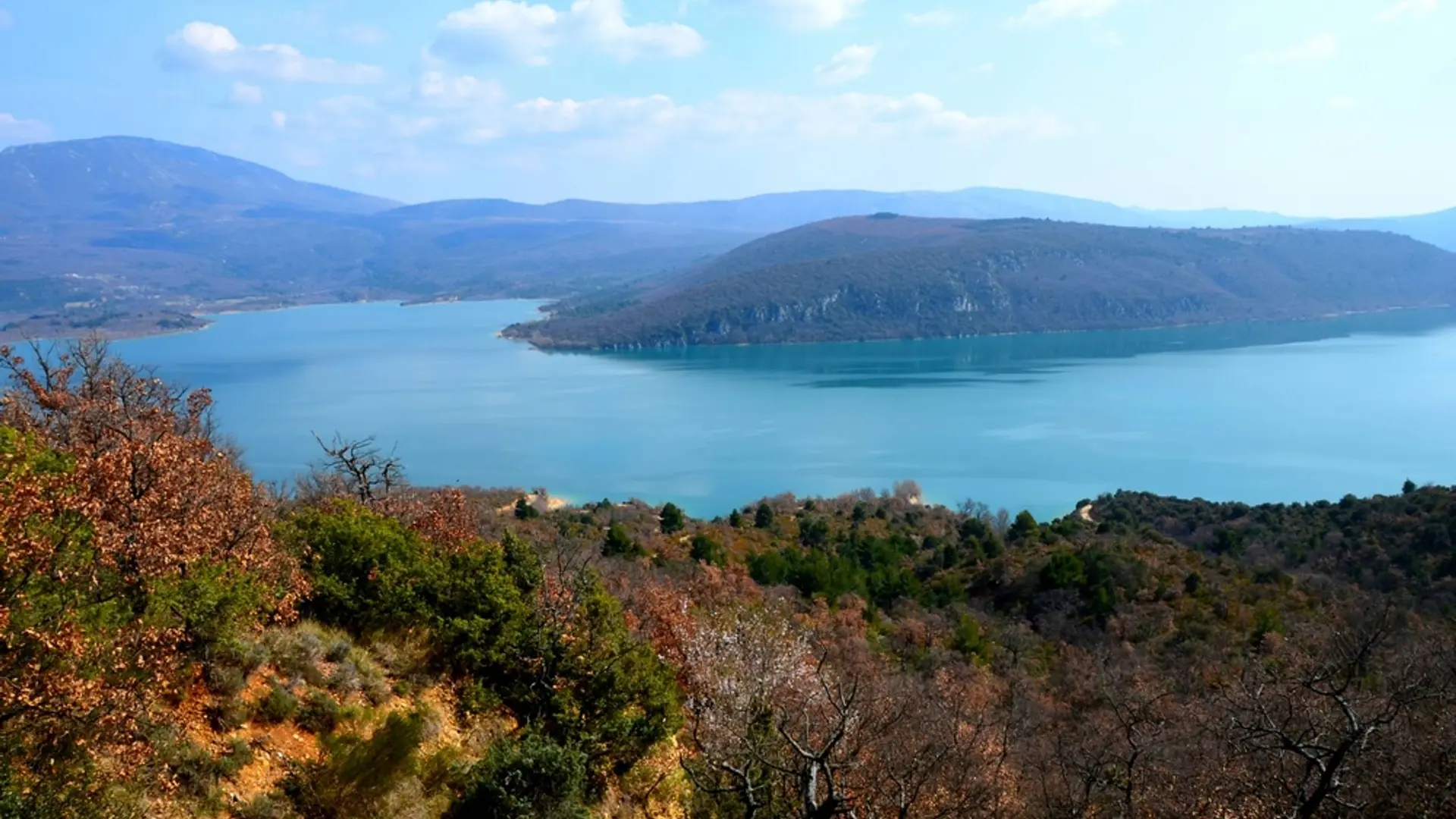
A walk along the old mule paths takes you from the edge of the lake to the plateau to enjoy a breathtaking view!
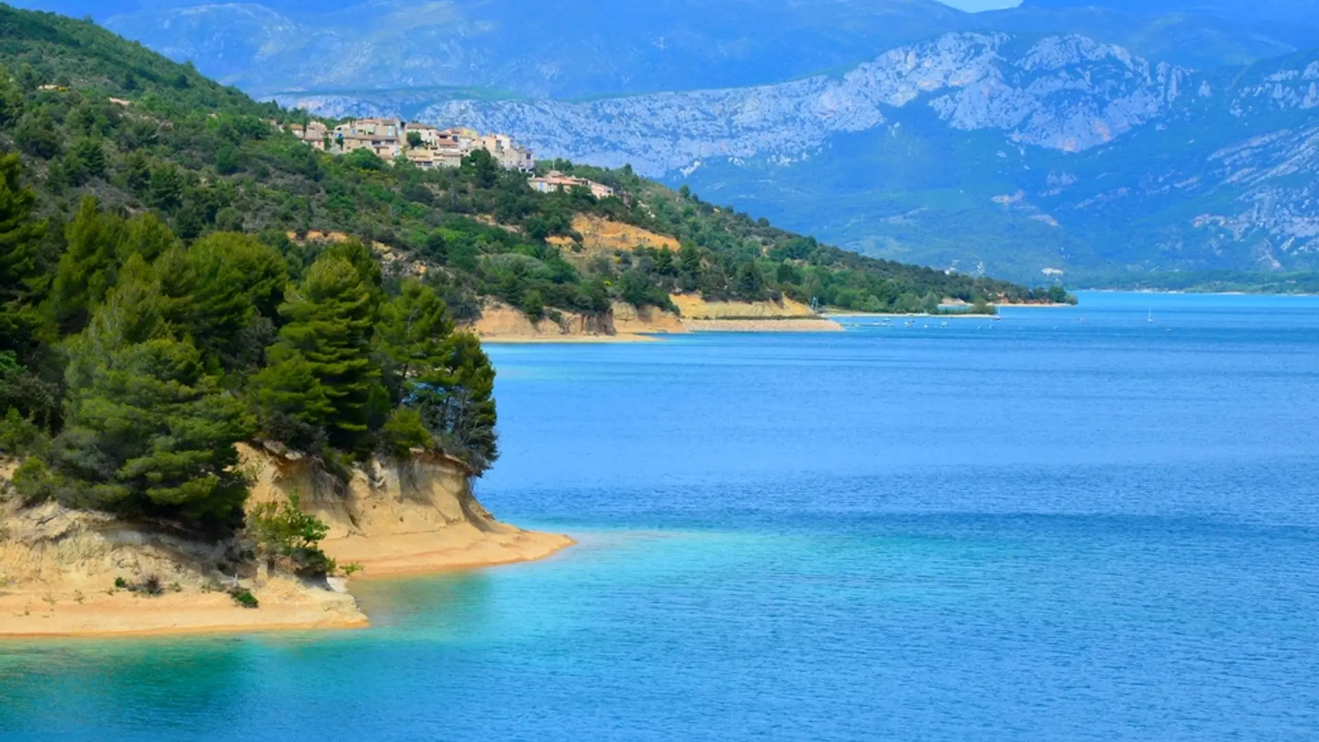
-
From the parking lot, follow the road along the lake towards the nautical base and the campsite (chemin de Paraloup), on the left. Walk along the small road for 800m by the lake. There are a few dry-stone walls, olive trees, and picnic areas.
1- At the intersection, continue on the small road straight ahead. Continue for 800m to the Mule trail on the plateau.
2- Climb to the left the trail along a rump. Higher up (109m in height), at the intersection, go up the road on the left, crossing...From the parking lot, follow the road along the lake towards the nautical base and the campsite (chemin de Paraloup), on the left. Walk along the small road for 800m by the lake. There are a few dry-stone walls, olive trees, and picnic areas.
1- At the intersection, continue on the small road straight ahead. Continue for 800m to the Mule trail on the plateau.
2- Climb to the left the trail along a rump. Higher up (109m in height), at the intersection, go up the road on the left, crossing it.
3- At the end of the climb, go left for about 150m on the trail along the plateau, edge of field. Descend to the left on the marked route (PR). Reach the road at point 1 and return to the starting point by the road taken on the way.
Medium
- Departure
- Sainte-Croix-du-Verdon
-
-
Difference in height
- 327.667 m
-
-
-
Departure : From the town hall.
Arrival : In front of the town hall.
Road access : 9.7km southeast of Riez on the D11..
Public transport : Limitons les déplacements en voiture, pensons aux transports en commun et au covoiturage. Tous les transports en commun sur www.pacamobilite.fr. .
- See all reviews
- 328 meters of difference in height
-
- Maximum altitude : 643 m
- Minimum altitude : 474 m
- Total positive elevation : 328 m
- Total negative elevation : -270 m
- Max positive elevation : 166 m
- Min positive elevation : -163 m
