From Le Laus, take the wide track opposite the Gîte de l'Arpelin towards Bletonnet and Bois des Oules.
At the fork, ignore the right-hand track towards Blétonnet, and continue straight on, still on the right bank of the torrent, towards La Cascade.
Ignore the second right-hand track towards Col de l'Izoard.
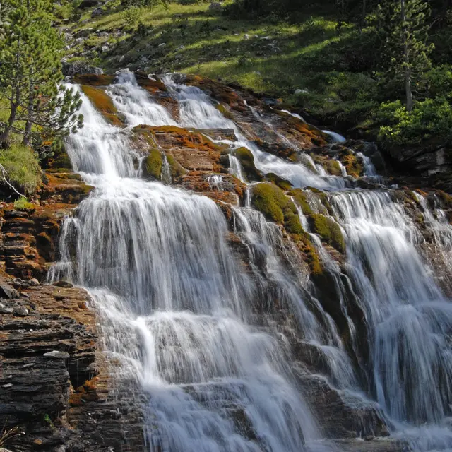
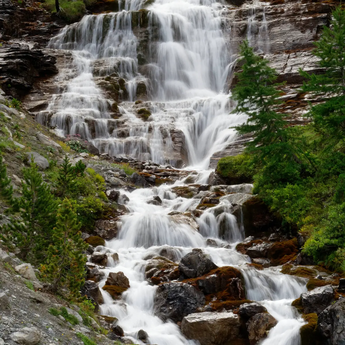
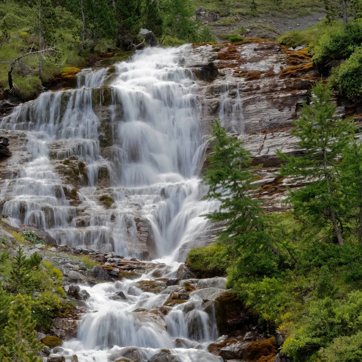
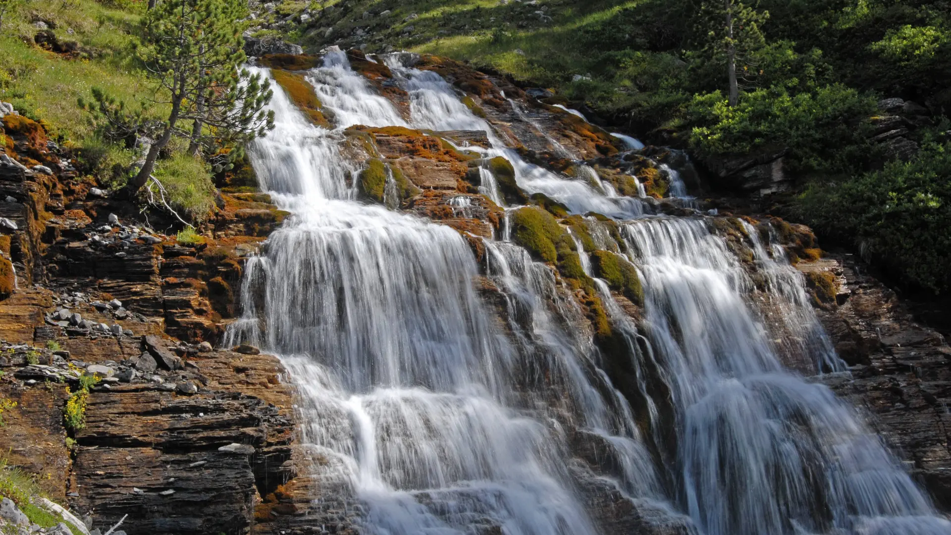
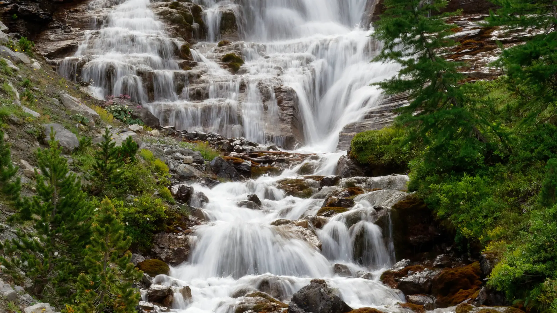
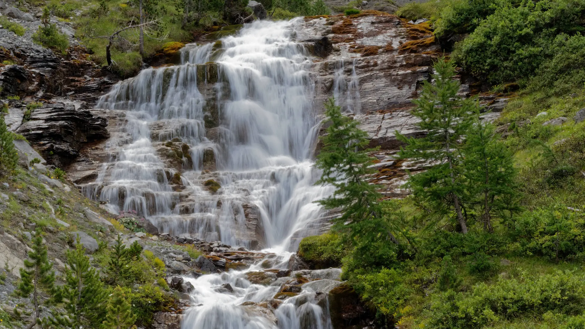
Follow the track to its end, then take the steeper path to the cascade des Oules.
This itinerary lies at the heart of the Rochebrune - Izoard - Vallée de la Cerveyrette N2000 protected site.
In order to preserve this exceptional site, certain rules must be observed:
- Stay on the paths
- Dogs must be kept on a leash
- No picking of plants or flowers
- Bring your own garbage
- Camping and fires prohibited, bivouacs authorized
- Respect the tranquillity of the site
Read more